Original antique maps & prints of
Florida
★ 10 original pieces ★
Spanish for most of three centuries, briefly British, then American from 1821. Florida became a state in 1845. We currently hold 10 original sheets of Florida, published between 1642 and 1924. Of these, 12 are maps and 15 are views and prints. The earliest is Blaeu Virginia and Florida Map – Decorative Early America Chart, 1642.
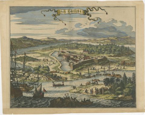
Fort Caroline in Florida, Montanus Engraving – Early America View 1671
1671 · Montanus & Ogilby
$1,085
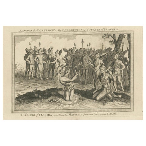
Pre-Battle Rituals: The King of Florida and His Magician, ca.1780
1780
$435
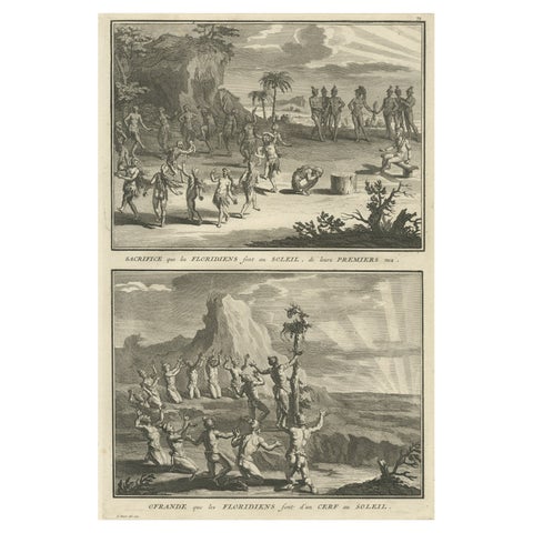
Antique Print of Natives in Florida Making Offerings to the Sun God, ca.1730
1730
$370
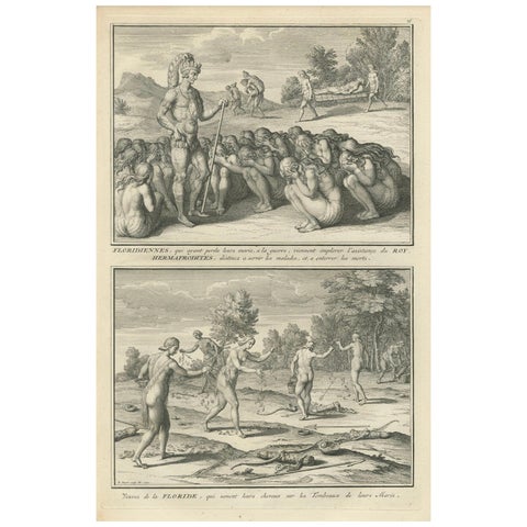
Florida Women Mourning Their Husbands, with Hermaphrodites in Ritual Service
$315
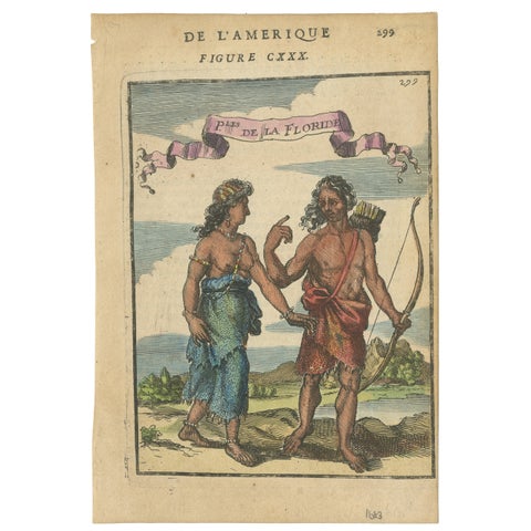
Florida Indians, Couple in Traditional Dress – Mallet America Engraving, 1683
1683
$270
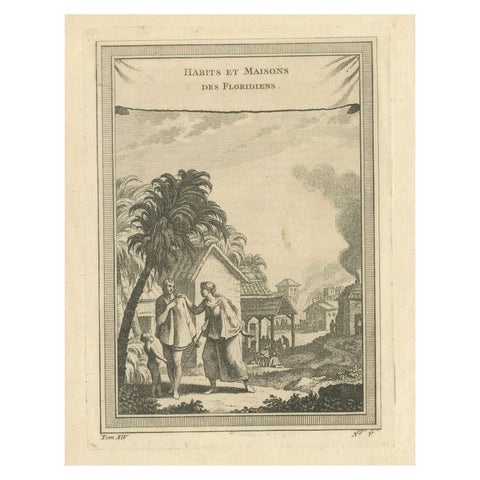
Habits et Maisons des Floridiens, Early Florida Ethnography – Engraving, c.1857
1857
$270
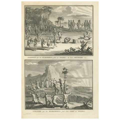
Sun Worship Rituals of the Floridians Depicted in Sacrificial Ceremonies, 1734
1734
$255
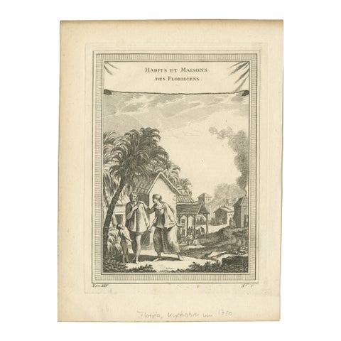
1757 Engraving of Florida Natives – Indigenous Clothing & Village Scene
1757
$155
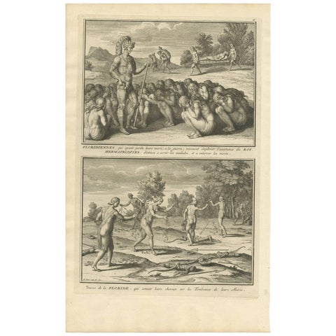
Antique Print of Widows in Florida by B. Picart, 1721
1721 · Theodor de Bry
$155
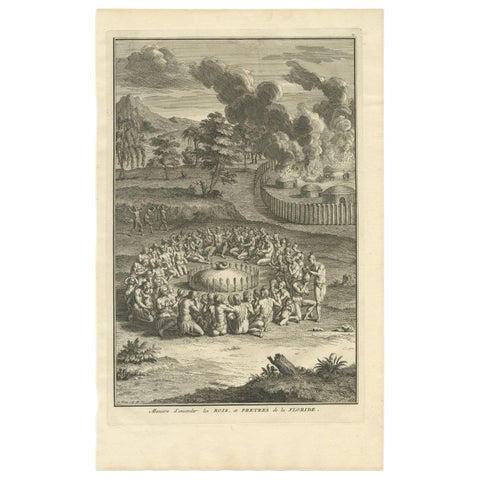
Antique Print of the Burying Ceremony of Kings and Priests of Florida
Theodor de Bry
$145
★
More of The South