A Bartele Gallery CollectionLangweer · Jakarta

American Maps & Prints
Original antique maps, charts & prints of the Americas ★ Originals only


Home › United States › The South
Original antique maps & prints of

Florida

★ 12 original pieces ★

Spanish for most of three centuries, briefly British, then American from 1821. Florida became a state in 1845. We currently hold 12 original sheets of Florida, published between 1642 and 1924. Of these, 12 are maps and 15 are views and prints. The earliest is Blaeu Virginia and Florida Map – Decorative Early America Chart, 1642.
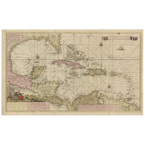
Engraving of a Map of Florida, the Gulf Coast, Caribbean & Central America, 1728
1728 · Van Keulen
$15,335
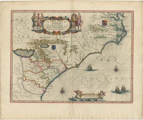
Blaeu Virginia and Florida Map – Decorative Early America Chart, 1642
1642 · Blaeu
$5,875
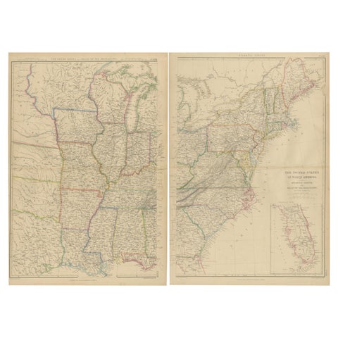
Set of 2 Antique Maps of the United States by W. G. Blackie, 1859
1859
$660
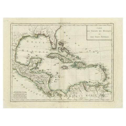
Antique Map of the Gulf of Mexico and Caribbean Islands by Tardieu, 1802
1802
$625
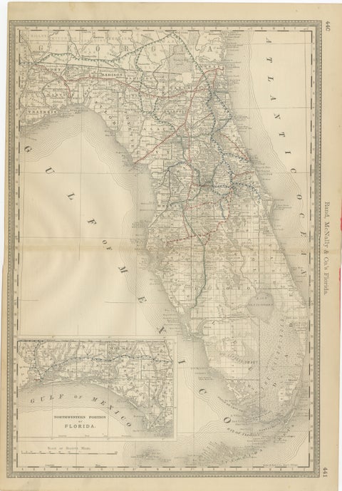
Florida 1888 Antique Map – Railroads, Settlements & Gulf Coast Detail
1888 · Rand McNally
$605
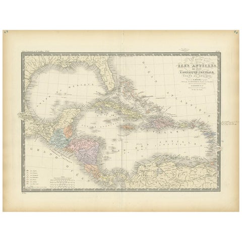
Antique Map of the Antilles in the Caribbean, '1875'
1875
$560
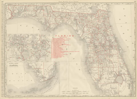
Antique Map of Florida, The Sunshine State, Rand McNally, 1899
1899 · Rand McNally
$500
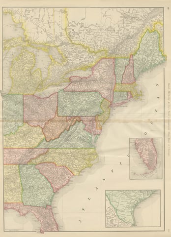
Antique Map of the Eastern United States, with Florida Inset, Rand McNally, 1899
1899 · Rand McNally
$440
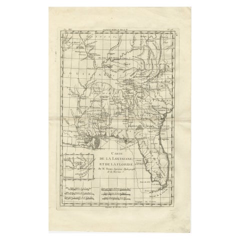
Antique Map Louisiana & Mississippi Valley, Florida Region, Bonne c.1780
1780 · Rigobert Bonne
$390
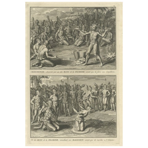
Two Engravings of an Florida King of the Indians in America, 1722
1722
$380
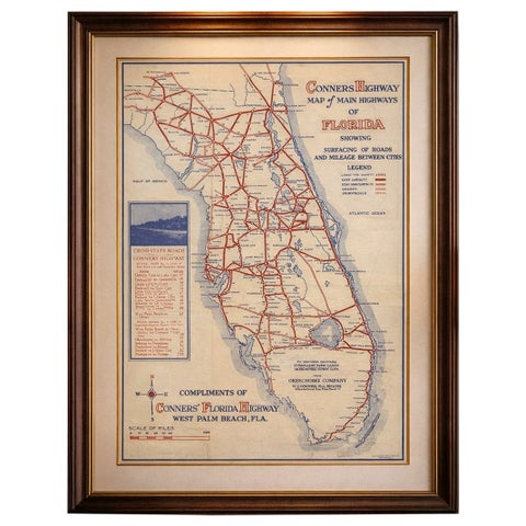
Antique Florida Highway Map – Conners Highway, Lake Okeechobee Roads, ca.1924
1924
$370
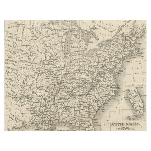
Steel Engraved Map of the United States with Inset Map of Florida
$180
★

More of The South


Alabama
5 pieces
Arkansas
10 pieces
Georgia
3 pieces
Kentucky
6 pieces
Louisiana
10 pieces
Mississippi
7 pieces
North Carolina
6 pieces
South Carolina
6 pieces
Tennessee
3 pieces
Virginia
20 pieces
West Virginia
6 pieces

Your favorites

Saved in this browser. Email the list to yourself to keep it on any device.

We use your email to send this list and, only if you tick the box and confirm, for occasional new arrivals. Every email has an unsubscribe link. Bartele Gallery, the Netherlands.

Your bag

Total

Each piece is bought on its own; shipping is added at checkout.