Original antique maps & prints of
Ohio
★ 30 original pieces ★
The first state formed from the Northwest Territory, admitted in 1803. Its maps chart the settlement of the old West, county by county. We currently hold 30 original sheets of Ohio, published between 1854 and 1899. Of these, 27 are maps and 3 are views and prints. The earliest is Cincinnati Costume Print – Antique Hand-Colored Lithograph, 1854.
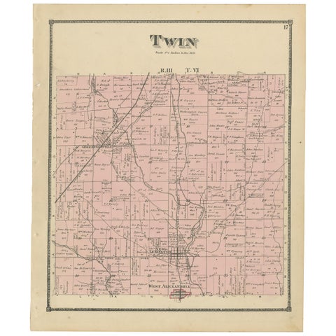
Antique Map of the Twin Township of Ohio by Titus '1871'
1871
$280
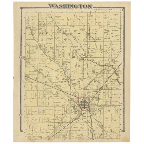
Antique Map of Washington County 'Ohio' by Titus, 1871
1871
$280
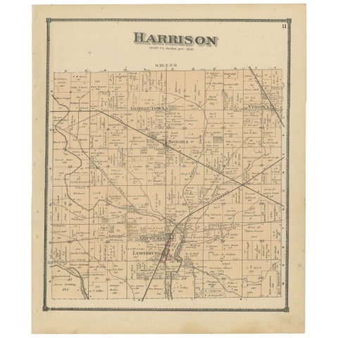
Antique Map of Harrison County 'Ohio' by Titus, 1871
1871
$280
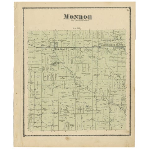
Antique Map of Monroe County 'Ohio' by Titus '1871'
1871
$280
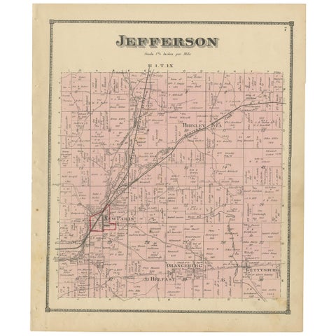
Antique Map of Jefferson County 'Ohio' by Titus, 1871
1871
$280
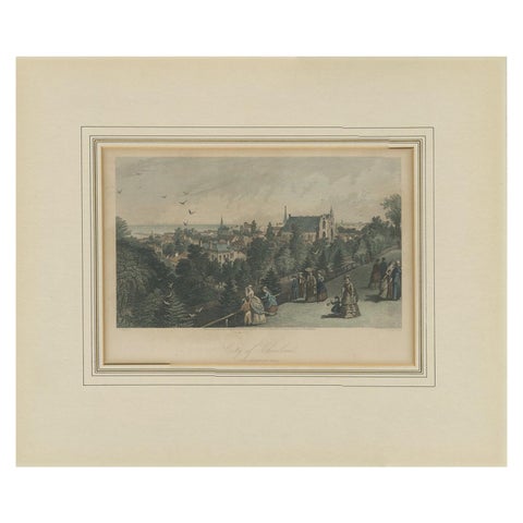
Antique Print of the City of Cleveland by Appleton, 1872
1872
$185
← PreviousPage 2 of 2
★
More of The Midwest