Original antique maps & prints of
Virginia
★ 9 original pieces ★
England's first permanent American colony, founded at Jamestown in 1607, and the subject of some of the earliest English maps of North America. We currently hold 9 original sheets of Virginia, published between 1642 and 1899. Of these, 9 are maps and 11 are views and prints. The earliest is Antique Virginia Map Blaeu c.1642 – Jamestown, Powhatan, Chesapeake.
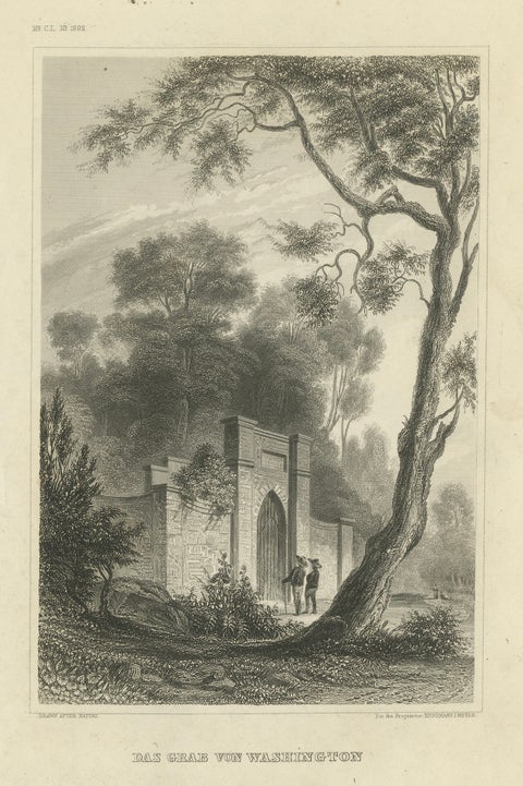
Washington's Tomb at Mount Vernon – Antique Americana Engraving, c.1850
1850
$290
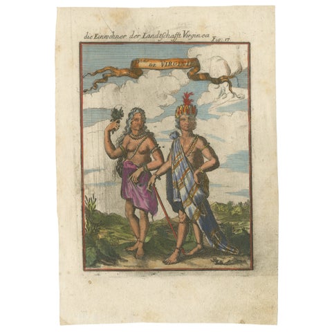
Virginia Indians, Man & Woman in Traditional Dress – Handcolored Engraving, 1683
1683
$270
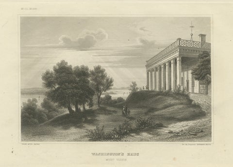
Mount Vernon Washington’s House – Antique Steel Engraving Virginia, 1854
1854 · Meyer
$270
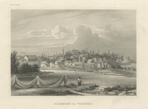
Richmond Virginia James River View – Antique Steel Engraving c.1850
1850 · Meyer
$270
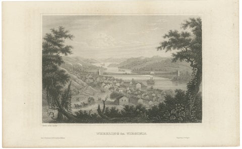
Antique Wheeling Virginia View, Suspension Bridge, Ohio River, Meyer c.1850
1850
$240
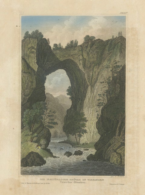
Natural Bridge of Virginia, Hand-Colored Landscape Engraving, c.1840
1840
$220
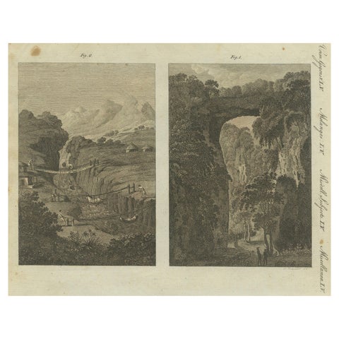
Suspension and Pull Bridges in America and Natural Rock Bridge, Virginia - 1805
1805
$215
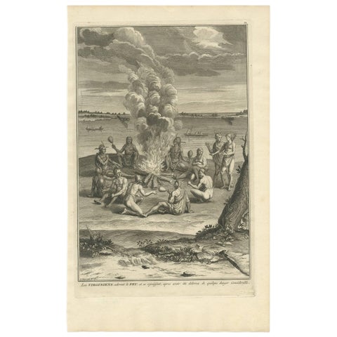
Antique Print of a Gathering Around a Fire in Virginia by B. Picart, 1721
1721 · Theodor de Bry
$110
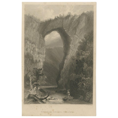
Antique Print of the Natural Bridge of Viriginia, circa 1860
1860
$90
★
More of The South