Original antique maps & prints of
Virginia
★ 9 original pieces ★
England's first permanent American colony, founded at Jamestown in 1607, and the subject of some of the earliest English maps of North America. We currently hold 9 original sheets of Virginia, published between 1642 and 1899. Of these, 9 are maps and 11 are views and prints. The earliest is Antique Virginia Map Blaeu c.1642 – Jamestown, Powhatan, Chesapeake.
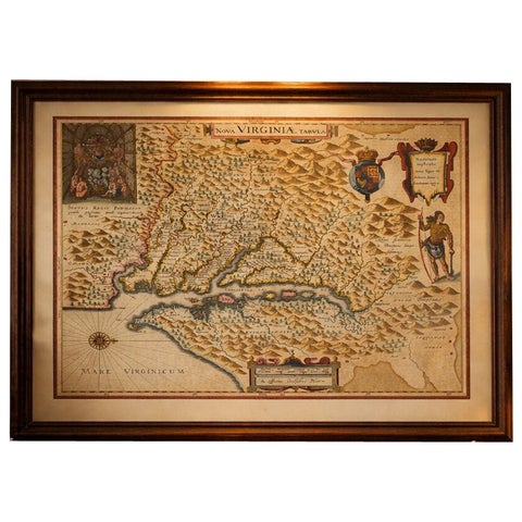
Antique Virginia Map Blaeu c.1642 – Jamestown, Powhatan, Chesapeake
1642 · Blaeu
$8,115
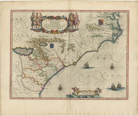
Blaeu Virginia and Florida Map – Decorative Early America Chart, 1642
1642 · Blaeu
$5,875
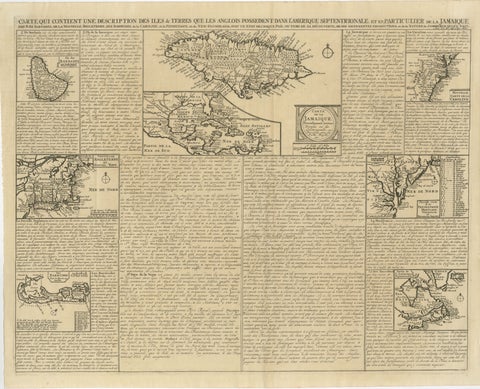
Rare French Colonial America Map, Jamaica Barbados Carolina, c.1719
1719
$1,450
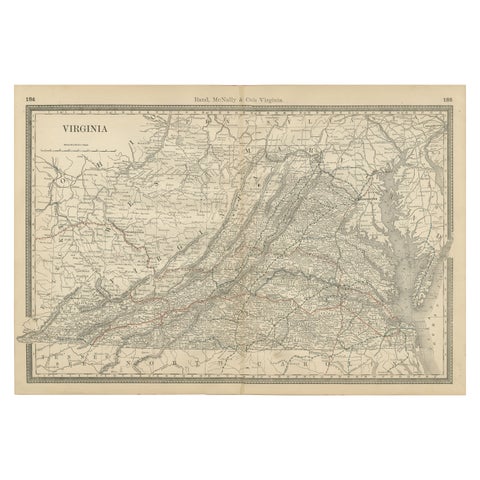
Antique Virginia Map c.1888 – Railroads, Towns & The Old Dominion
1888 · Rand McNally
$515
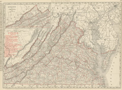
Antique Map of Virginia, The Old Dominion, Rand McNally, 1899
1899 · Rand McNally
$440
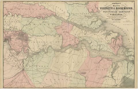
1862 Johnson's Map of the Vicinity of Richmond & Peninsular Campaign, Virginia
1862
$435
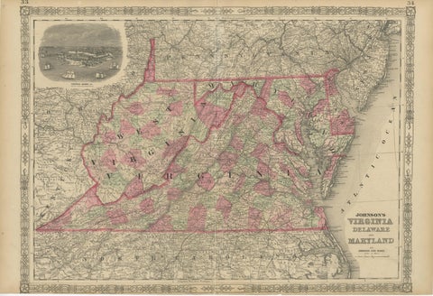
1864 Johnson's Map of Virginia, Delaware, and Maryland with Fort Monroe Inset
1864
$335
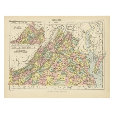
Antique Map of Virginia, with Inset Map of the South Western Continuation
1888
$325
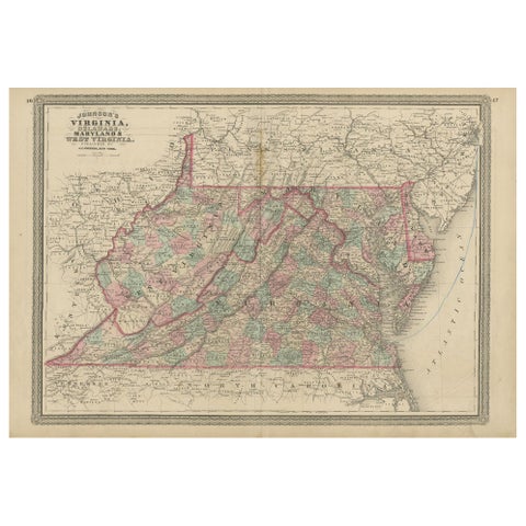
Antique Map of Virginia, Delaware, Maryland & West Virginia by Johnson, 1872
1872 · A. J. Johnson
$280
★
More of The South