Original antique
Maps
★ 638 original pieces ★
Original antique maps, each removed from the atlas or book it was published in, or issued as a separate sheet. Never reproductions.
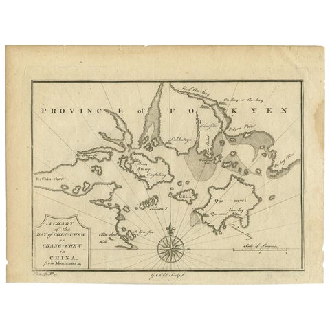
Antique Map of the Bay of Cordes and Surroundings by Hawkesworth, 1774
1774
$125
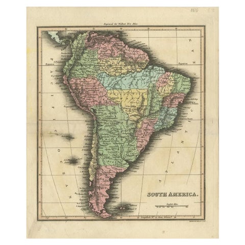
Antique Map of South America by Walker, 1816
1816 · Thomas Kitchin
$125
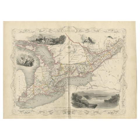
A 19th-Century Map of West Canada with Niagara Falls and Indigenous Scenes
circa 1850 · John Tallis
$125
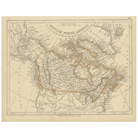
Antique Map of British North America by Lowry, '1852'
1852
$110
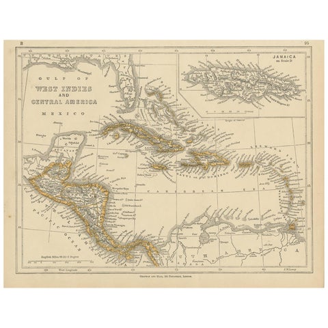
Antique Map of the West Indies and Central America by Lowry '1852'
1852
$110
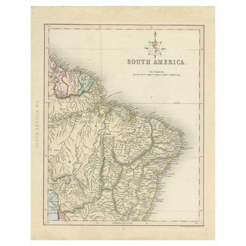
Antique Map of Part of South America by Archer, C.1860
1860
$105
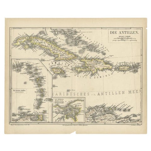
Antique Map of the Antilles by Meyer, 1878
1878 · Meyer
$100
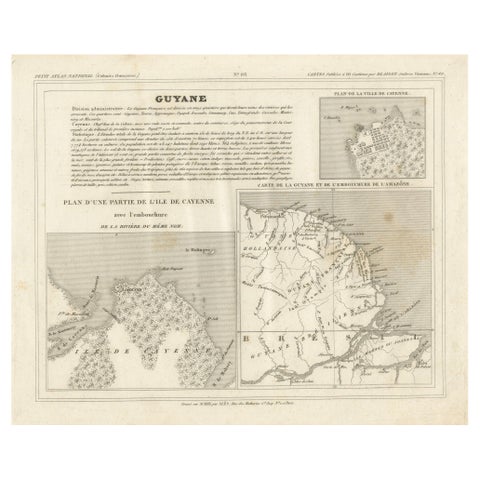
Antique Map of French Guiana and Cayenne – Circa 1835
1835
$100
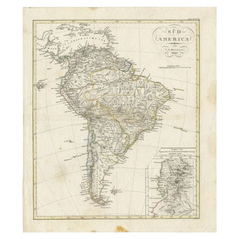
Antique Map of South America by Reichard, 1820
1820 · Thomas Kitchin
$95
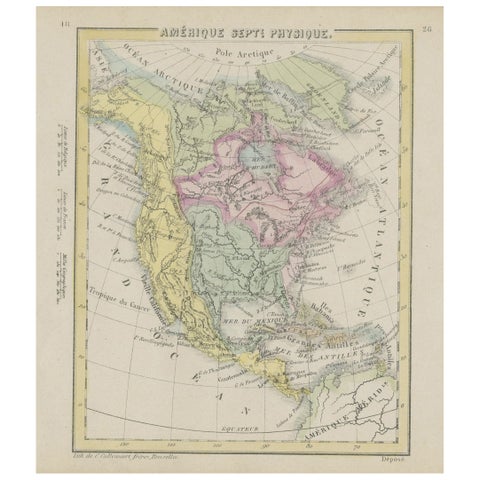
Small Map of the United States, circa 1870
1870
$85
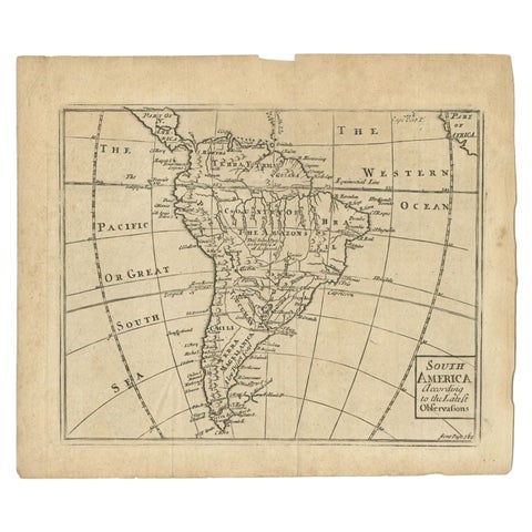
Antique Map of South America by Gordon, c.1745
1745
$85
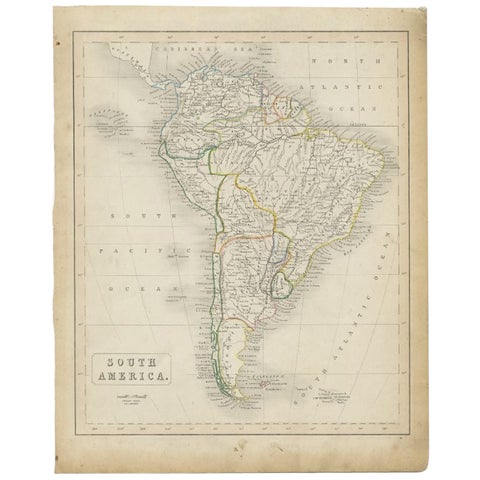
Antique Map of South America, c.1840
1840
$80
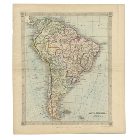
Antique Map of South America by Kelly, 1835
1835
$80
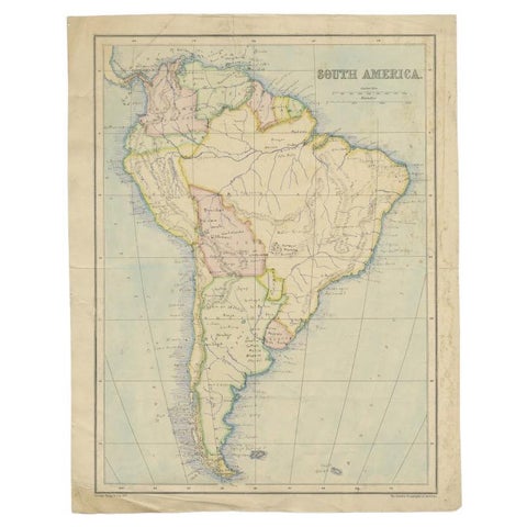
Antique Map of South America by Philip & Son, 1875
1875
$65
← PreviousPage 27 of 27