Original antique
Maps
★ 638 original pieces ★
Original antique maps, each removed from the atlas or book it was published in, or issued as a separate sheet. Never reproductions.
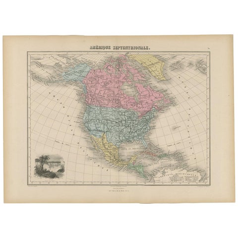
Antique Map of North and Central America by Migeon '1880'
1880
$170
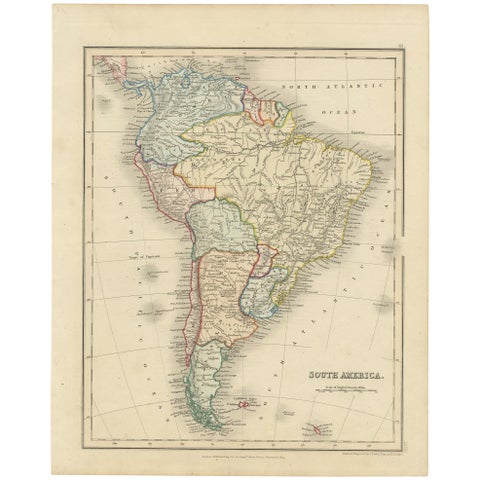
Antique Map of South America by Dower, ‘circa 1845’
1845
$170
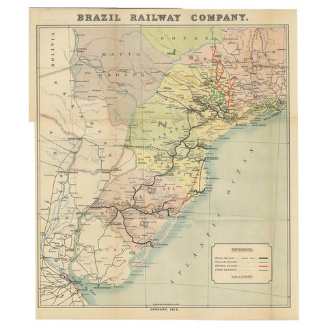
Antique Map of the Brazil Railway Company, '1912'
1912
$170
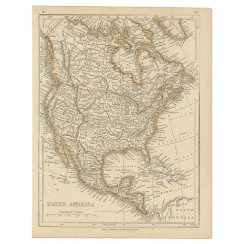
Antique Map of North America by Lowry '1852'
1852
$170
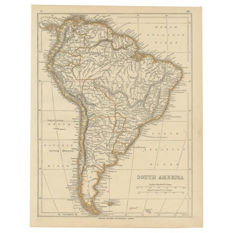
Antique Map of South America by Lowry, 1852
1852
$170
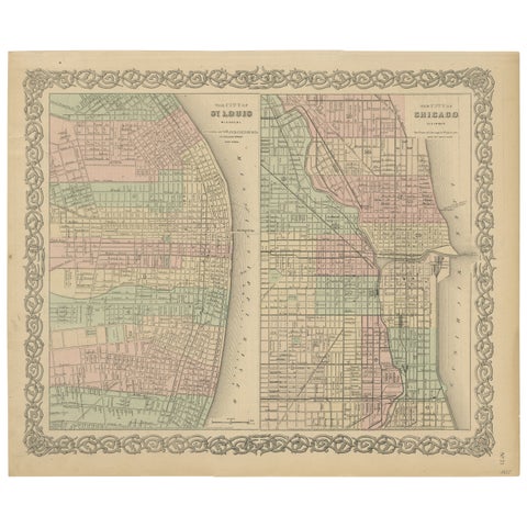
Antique Map of St. Louis and Chicago
1855 · J. H. Colton
$170
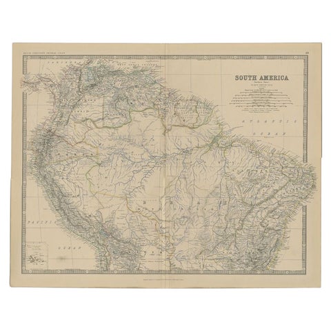
Antique Map of South America by Johnston, 1882
1882 · W. & A. K. Johnston
$160
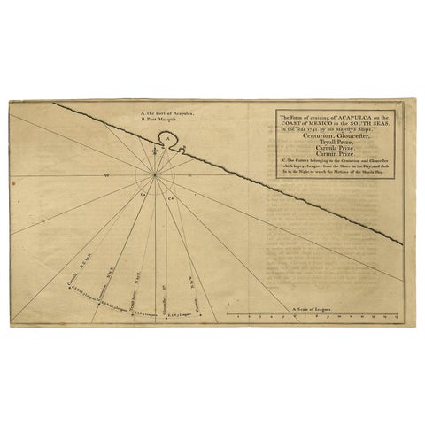
Navigational Chart of Mexico's Coast, with Acapulco and Port Marquis, 1748
1748
$155
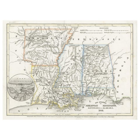
Antique Map of the Southern United States with Inset Map of New Orleans
1846 · Meyer
$155
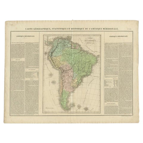
Antique Map of South America by Buchon, 1825
1825
$155
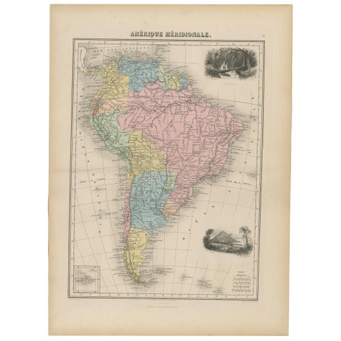
Antique Map of South America by Migeon '1880'
1880
$150
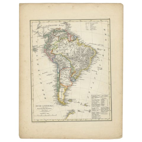
Antique Map of South America by Petri, 1852
1852 · Thomas Kitchin
$150
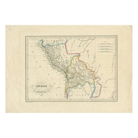
Antique Map of Peru and Bolivia by Thierry, 1836
1836
$145
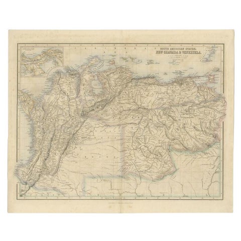
Antique Map of the Northern Part of South America by Fullarton, 1855
1855 · A. Fullarton
$145
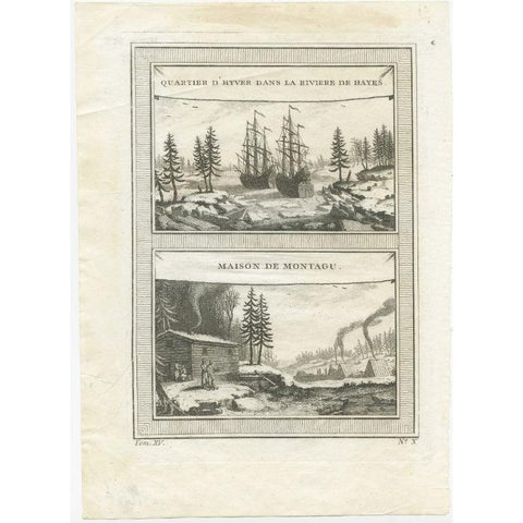
Antique Print of the Region of the Hayes river, Northern Manitoba, Canada, 1759
1759
$145
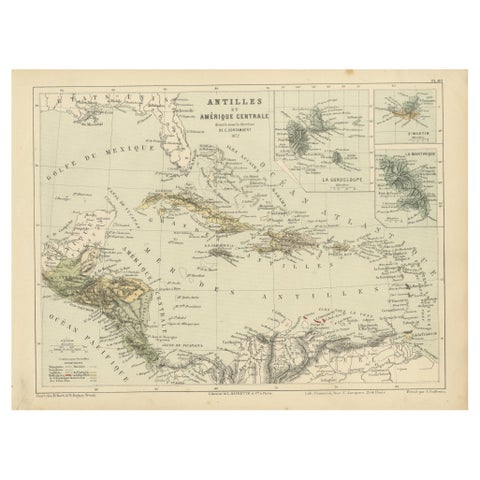
Antique Map of the Antilles and Central America – 1872
1872
$145
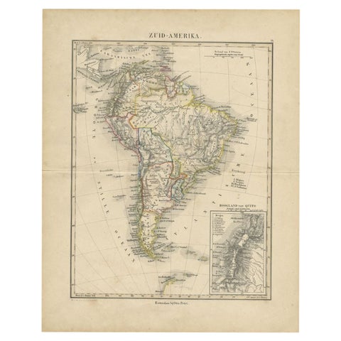
Antique Map of South America by Petri, c.1873
1873 · Thomas Kitchin
$140
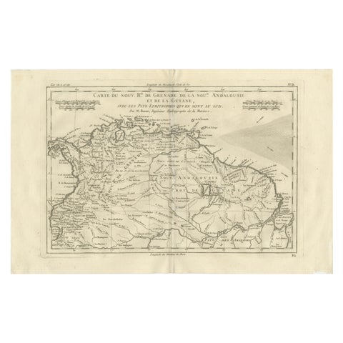
New Granada, New Andalusia & Guiana – Antique Map by Rigobert Bonne, c.1780
1780 · Rigobert Bonne
$140
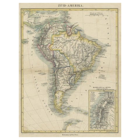
Antique Map of South America, inset of the Quito Highlands, Hand-Colored - 1870
1870
$140
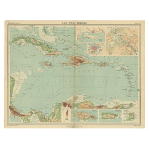
Antique Map of the West Indies in Full Color, 1922
1922
$140
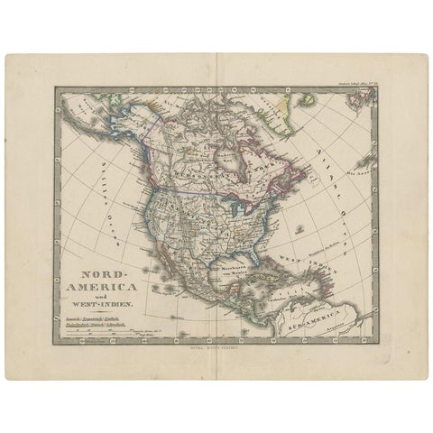
Antique Map of North America and the West Indies by Stieler, circa 1865
1865 · Stieler
$135
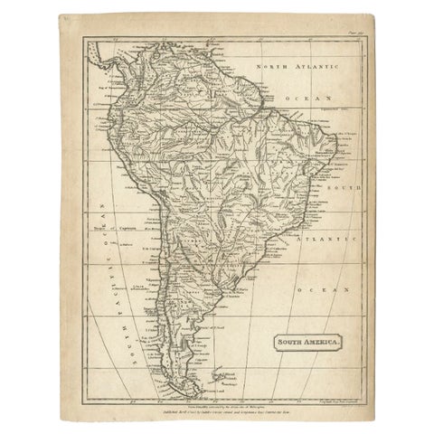
Antique Map of South America by Cadell & Davies, 1803
1803
$135
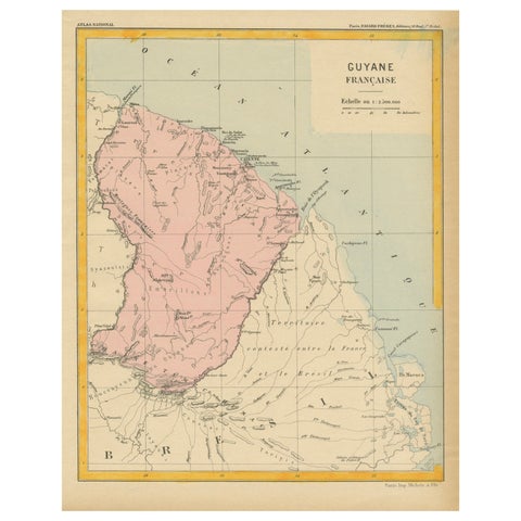
Map of French Guiana: 19th Century Atlas National Depiction of Guyane Française
$135
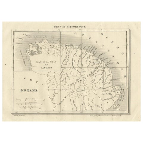
French Guiana and Cayenne: Mid-19th Century Map from France Pittoresque Series
$135