Antique maps & prints of the Americas
The Early Republic
★ 35 original pieces ★
From independence to about 1840 American publishers such as Tanner, Carey and Mitchell began to map their own country, and the new states appear with their first county lines.
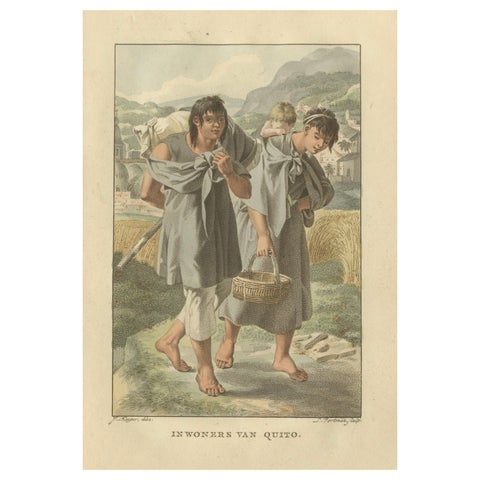
Residents of Quito, Ecuador – Antique Hand-Colored Ethnographic Print c.1805
1805
$235
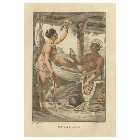
Guiana Indigenous People – Antique Hand-Colored Ethnographic Print c.1805
1805
$235
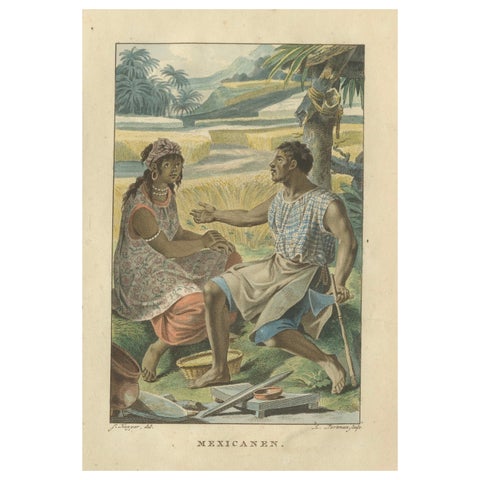
Mexican Indigenous People – Antique Hand-Colored Ethnographic Print c.1805
1805
$235
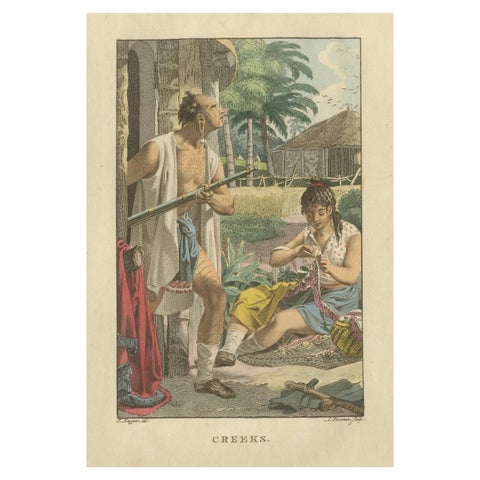
Creek People of North America – Antique Hand-Colored Ethnographic Print c.1805
1805
$235
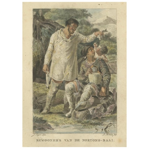
Inhabitants of Norton Bay, Alaska – Antique Hand-Colored Ethnographic Print 1805
1805
$235
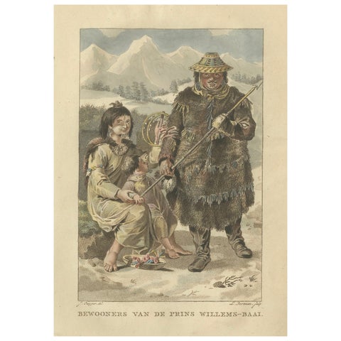
Inhabitants of Prince William’s Bay, Alaska – Antique Ethnographic Print, 1805
1805
$235
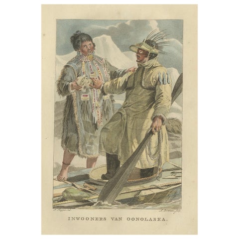
Inhabitants of Unalaska, Alaska – Antique Hand-Colored Ethnographic Print c.1805
1805
$235
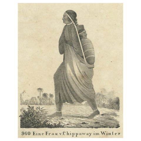
Original Antique Print of a North American Chippewa Mother with Child, 1836
1836
$215
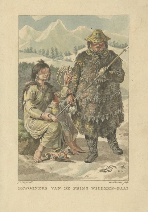
Prince William Sound Alaska Indigenous Family, Antique Costume Print, c.1805
1805
$215
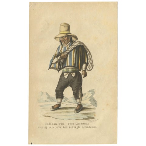
Antique Print of a Native American of South America by Boelen, 1835
1835
$170
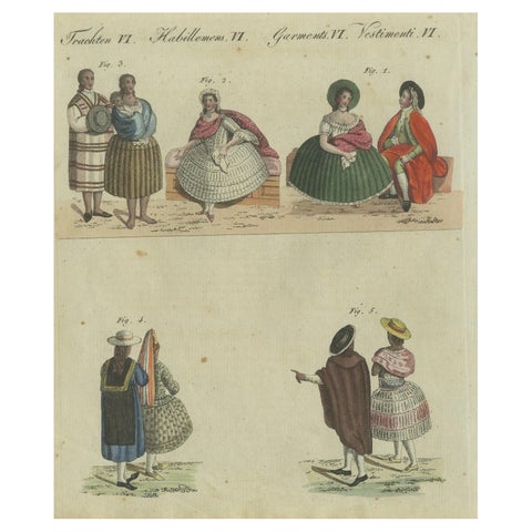
Elegant Costumes of 18th-Century Peru: Hand-Colored Engraving from Bertuch, 1805
1805
$125
← PreviousPage 2 of 2
★
Other periods