Antique maps & prints of the Americas
The Early Republic
★ 261 original pieces ★
From independence to about 1840 American publishers such as Tanner, Carey and Mitchell began to map their own country, and the new states appear with their first county lines.
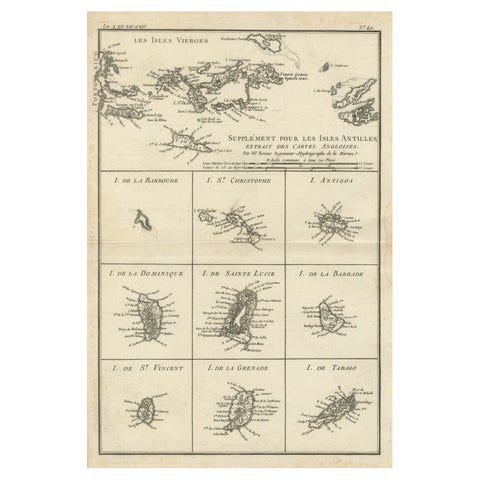
Map of Virgin Islands and Lesser Antilles by Rigobert Bonne, c. 1780
1780 · Rigobert Bonne
$370
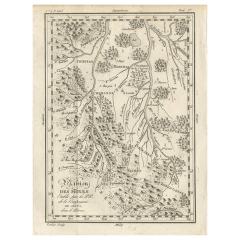
Mission of the Moxos, Peru – Antique French Jesuit Map by Portier, c.1790
1790
$370
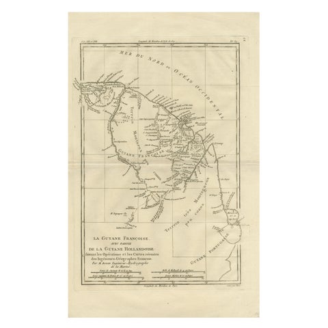
French Guiana & Suriname – Rigobert Bonne’s Colonial Map of the Guianas, c.1780
1780 · Rigobert Bonne
$370
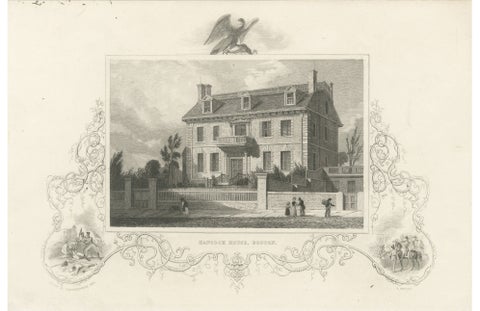
Hancock House Boston - Antique Engraving American Revolution, ca.1830
1830
$370
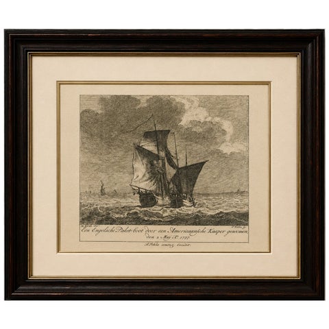
American Privateer Captures an English Packet Boat, 1777 Maritime Engraving
1777
$370
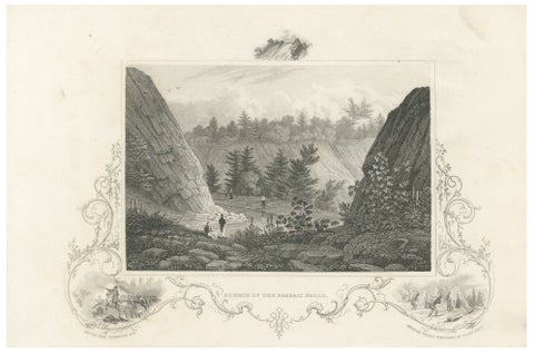
Passaic Falls Antique Engraving, New Jersey Landscape, c.1830
1830
$370
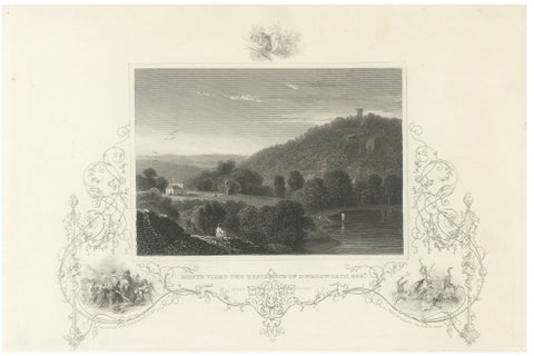
Monte Video Residence Antique Engraving, Connecticut View, c.1830
1830
$370
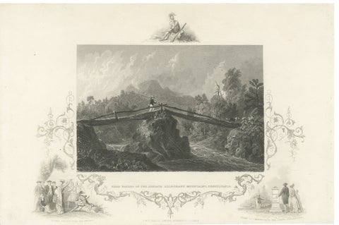
Juniata Alleghany Mountains - Antique Engraving, Pennsylvania View, ca.1830
1830
$370
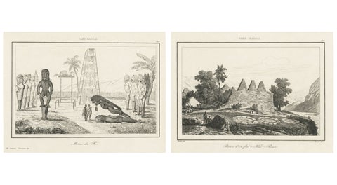
Ancient Hawaiian Temples & Royal Sacred Sites – Pair of Small Engravings, 1836
1836
$365
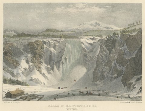
Montmorenci Falls, Canadian Winter Scene, Lithograph after Bouchette, circa 1832
circa 1832
$360
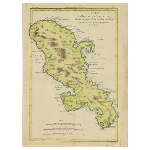
Antique Map of Martinique by Rigobert Bonne, Circa 1780
1780 · Rigobert Bonne
$360
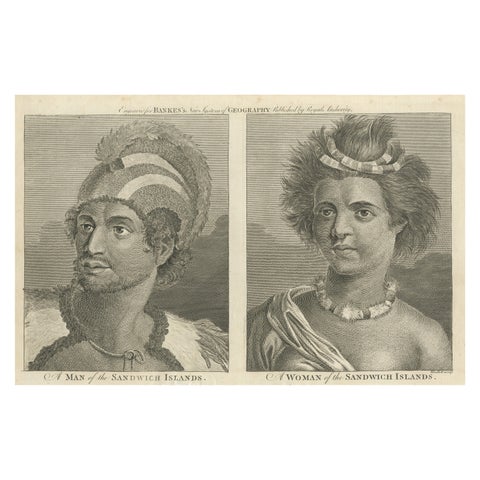
Portraits of Nobility from the Sandwich Islands (Hawaii), Published circa 1790
1790
$360
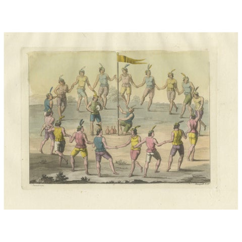
Engraving of Traditional Chilean Circle Dance: A Festive Gathering in 1827 Chile
1827
$360
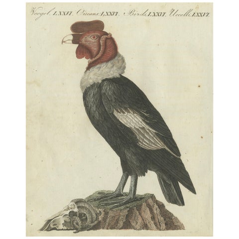
Andean Condor (Male) - Majestic Vultur gryphus Illustration by Bertuch, 1805
1805
$360
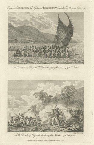
Captain Cook Hawaii Engravings, Death & Royal Encounter, Owhyhee, c.1788
1788 · Captain Cook voyages
$355
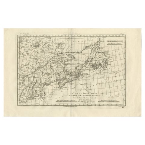
Antique Map of Canada, Newfoundland & Acadia, Gulf of St Lawrence, Bonne c.1780
1780 · Rigobert Bonne
$355
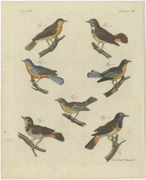
Original Antique Print of Seven Robins, Bluethroats and Yellowthroats, 1796
1796
$345
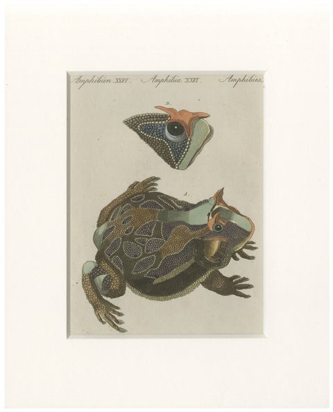
Antique South American Horned Frog Engraving – Bertuch, c. 1807
1807
$345
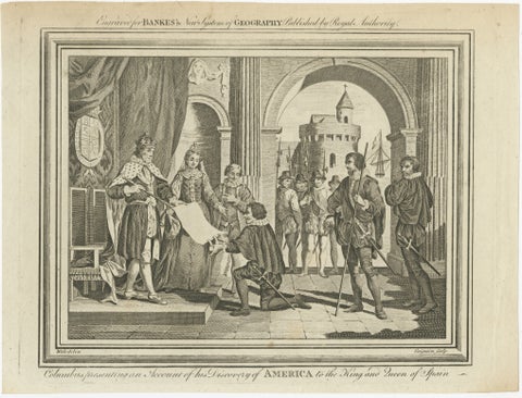
Columbus Presenting Discovery of America to Ferdinand & Isabella, 1787
1787
$330
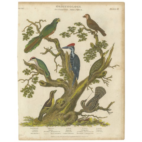
1811 Ornithology Land Birds Plate VI - Antique Piciformes Print
1811
$325
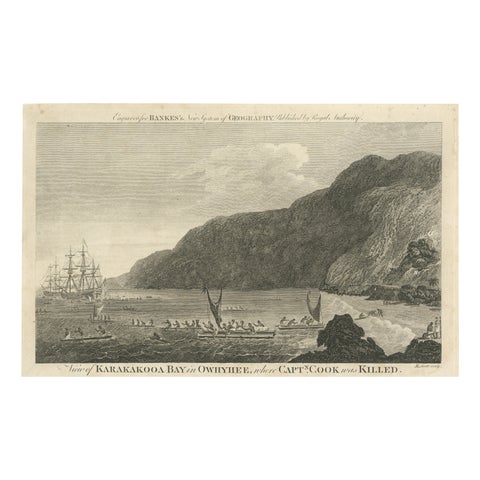
Final Voyage: The Death of Captain Cook at Kealakekua Bay, Hawaii, 1779
1779 · Captain Cook voyages
$325
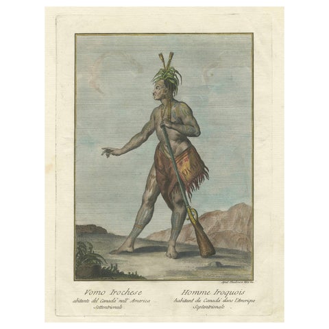
Iroquois Warrior: 1783 Engraving by Teodoro Viero of a Native of Northern Canada
1783
$325
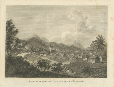
Antique View of Trelawney Town, Jamaica Maroons, Bryan Edwards, 1818
1818
$325
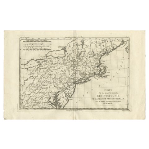
Antique Northeastern United States Map, New England & Mid-Atlantic, Bonne, 1780
1780 · Rigobert Bonne
$320
★
Other periods