Antique maps & prints of the Americas
The Gilded Age
★ 257 original pieces ★
The great commercial atlases of Rand McNally, Cram and Johnson recorded a country covered in railroads. Territories in the West appear as states one after another.
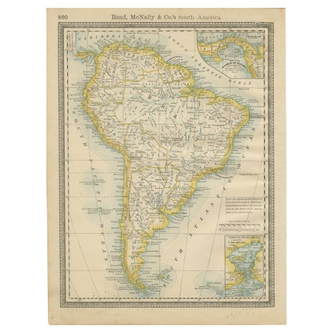
Antique South America Map Wall Art – Brazil, Andes & Amazon, Rand McNally, 1888
1888 · Rand McNally
$235
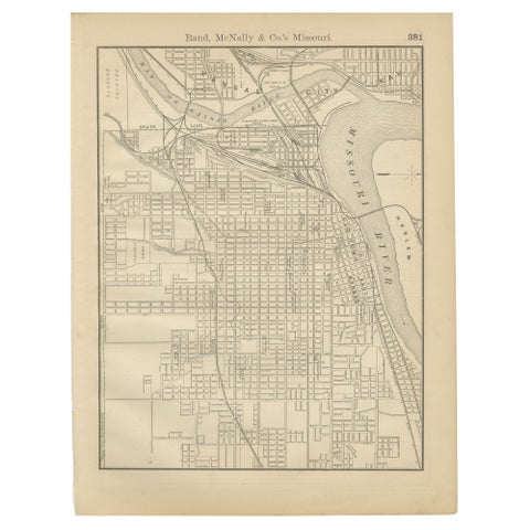
Antique Kansas City Map Wall Art – Missouri–Kansas Border, Rand McNally, ca.1888
1888 · Rand McNally
$225
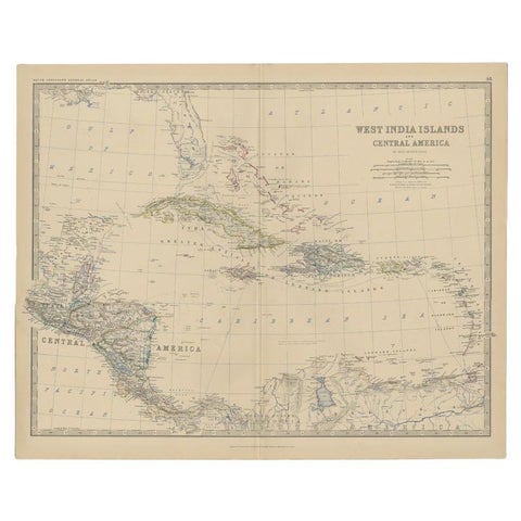
Antique Map of Central America and the West Indies, 1882
1882 · W. & A. K. Johnston
$200
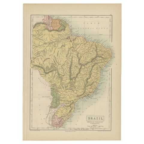
Antique Map of Brazil, Uruguay, Paraguay and Guyana by A & C. Black, 1870
1870 · Adam & Charles Black
$195
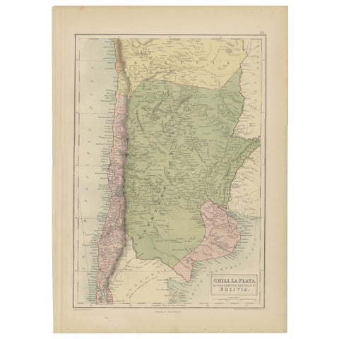
Antique Map of Chile, La Plata and Part of Bolivia by A & C. Black, 1870
1870 · Adam & Charles Black
$195
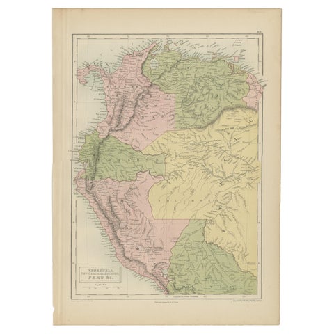
Antique Map of Venezuela, New Granada, Ecuador and Peru by a & C. Black, 1870
1870 · Adam & Charles Black
$195
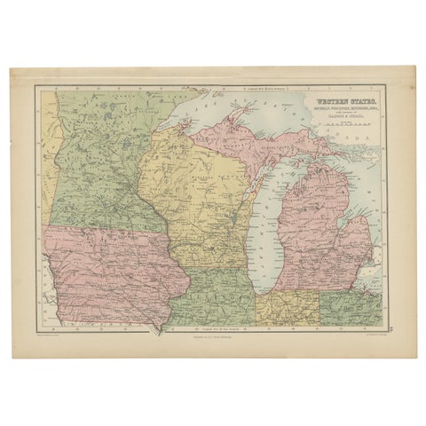
Antique Map of Western States, Michigan, Wisconsin, Iowa by A & C. Black, 1870
1870 · Adam & Charles Black
$195
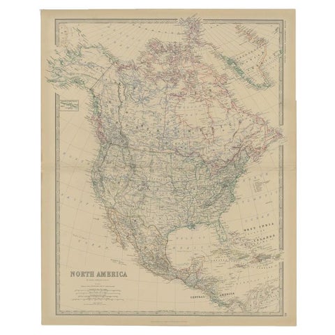
Antique Map of North America by Johnston, 1882
1882 · W. & A. K. Johnston
$180
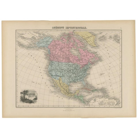
Antique Map of North and Central America by Migeon '1880'
1880
$170
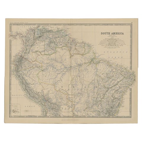
Antique Map of South America by Johnston, 1882
1882 · W. & A. K. Johnston
$160
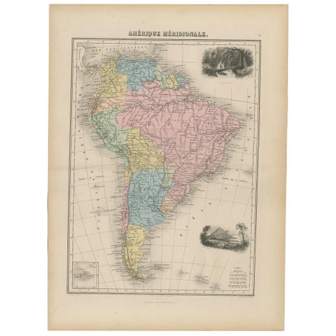
Antique Map of South America by Migeon '1880'
1880
$150
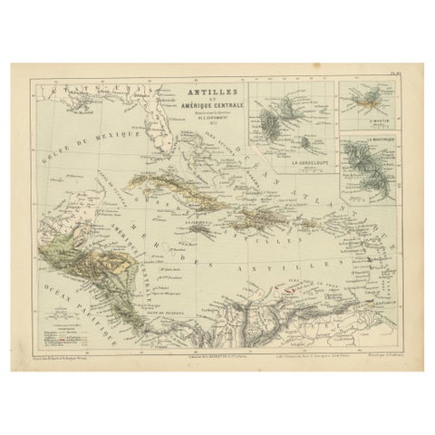
Antique Map of the Antilles and Central America – 1872
1872
$145
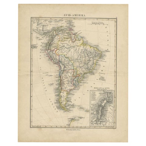
Antique Map of South America by Petri, c.1873
1873 · Thomas Kitchin
$140
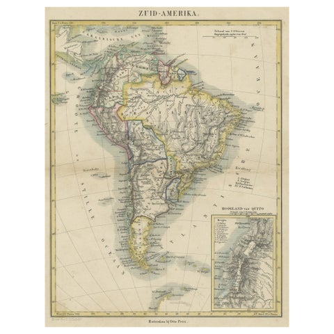
Antique Map of South America, inset of the Quito Highlands, Hand-Colored - 1870
1870
$140
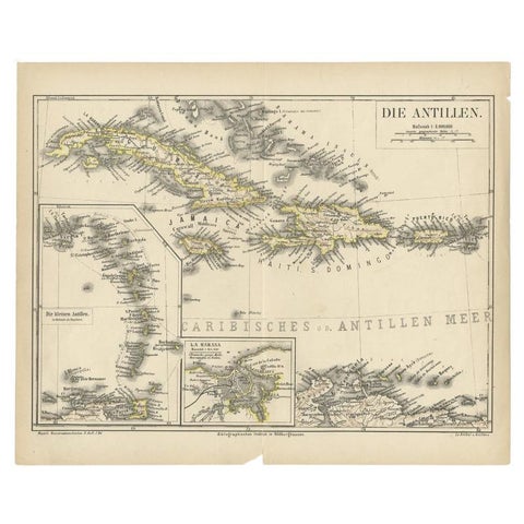
Antique Map of the Antilles by Meyer, 1878
1878 · Meyer
$100
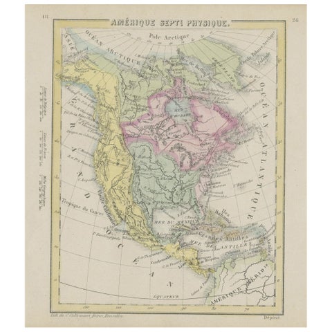
Small Map of the United States, circa 1870
1870
$85
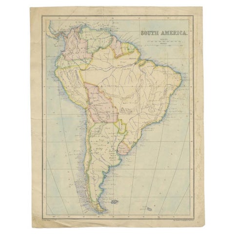
Antique Map of South America by Philip & Son, 1875
1875
$65
← PreviousPage 11 of 11
★
Other periods