Antique maps & prints of the Americas
The Gilded Age
★ 393 original pieces ★
The great commercial atlases of Rand McNally, Cram and Johnson recorded a country covered in railroads. Territories in the West appear as states one after another.
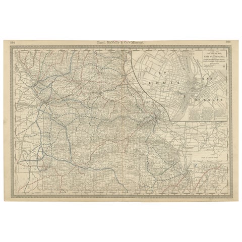
Antique Map of Missouri – The Show-Me State with St. Louis Inset, 1888
1888 · Rand McNally
$515
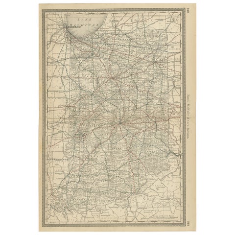
Antique Map of Indiana – The Hoosier State with Railroads & Counties, 1888
1888 · Rand McNally
$515
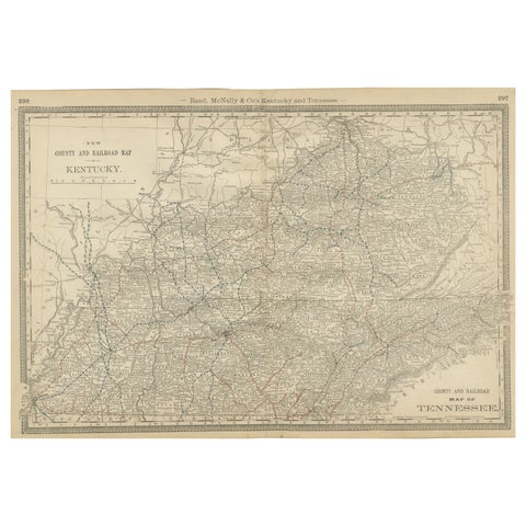
Antique Map of Kentucky & Tennessee – The Bluegrass & Volunteer States, 1888
1888 · Rand McNally
$515
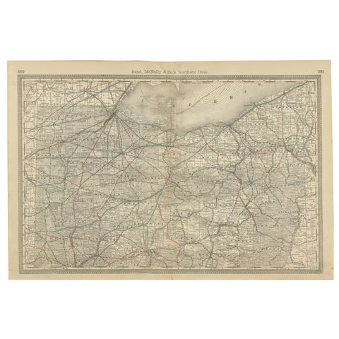
Antique Map of Northern Ohio – The Buckeye State with Railroads & Counties, 1888
1888 · Rand McNally
$515
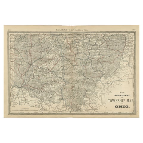
Antique Map of Southern Ohio – The Buckeye State - Railroads & Townships, 1888
1888 · Rand McNally
$515
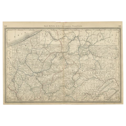
Pennsylvania Antique Map c.1888 – The Keystone State, Northwestern Counties
1888 · Rand McNally
$515
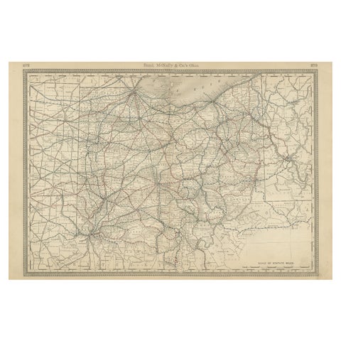
Antique Ohio Map c.1888 – Buckeye State Railroads, Towns & Settlements
1888 · Rand McNally
$515
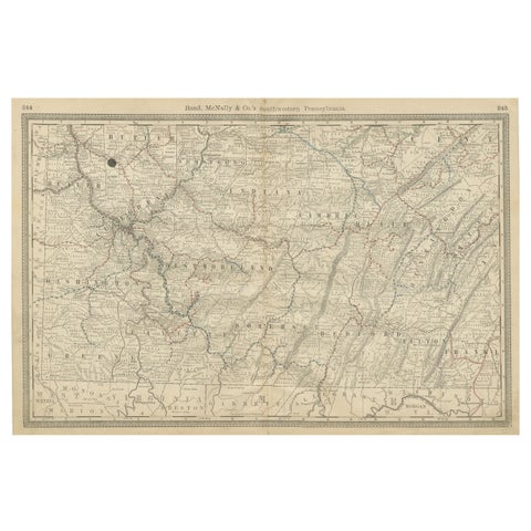
Southwestern Pennsylvania Antique Map c.1888 – Keystone State Counties & Cities
1888 · Rand McNally
$515
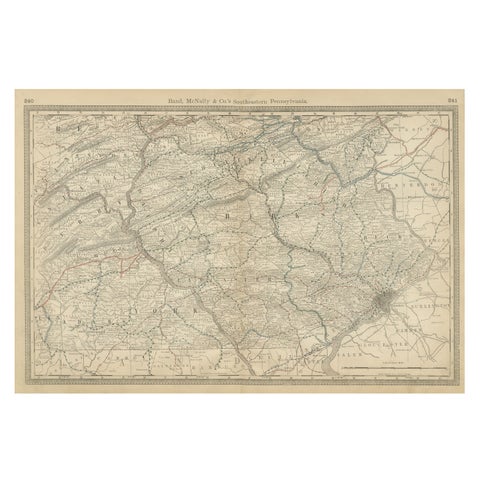
Pennsylvania 1888 Antique Map – The Keystone State, Southeastern Railroads
1888 · Rand McNally
$515
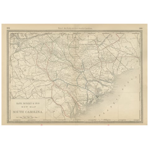
South Carolina Antique Map c.1888 – The Palmetto State, Railroads & Counties
1888 · Rand McNally
$515
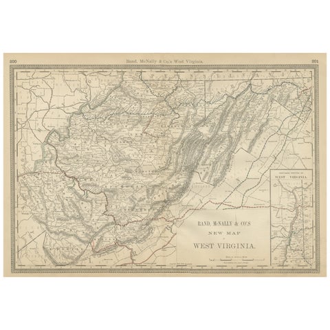
West Virginia Antique Railroad Map c.1888 – Mountain State Counties & Towns
1888 · Rand McNally
$515
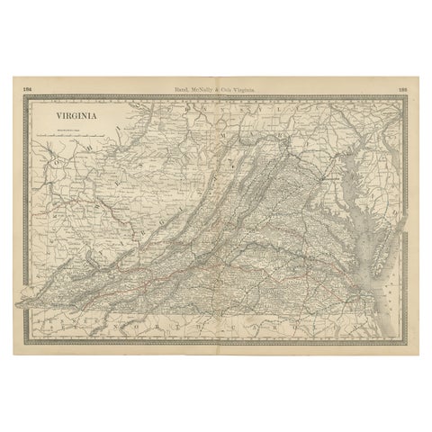
Antique Virginia Map c.1888 – Railroads, Towns & The Old Dominion
1888 · Rand McNally
$515
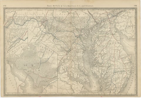
Maryland, D.C. & Delaware Antique Map – Old Line State Railroads, c.1888
1888 · Rand McNally
$515
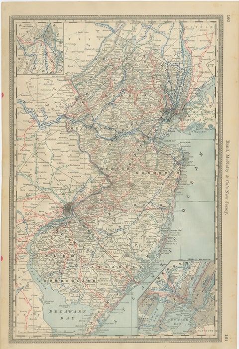
New Jersey Antique Map – The Garden State, Railroads & Counties, c.1888
1888 · Rand McNally
$515
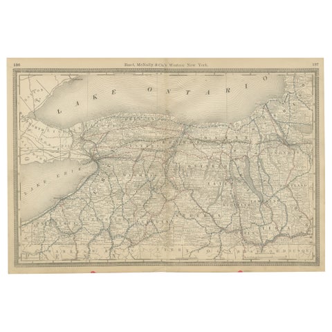
Western New York Antique Map – The Empire State, Railroads & Counties, c.1888
1888 · Rand McNally
$515
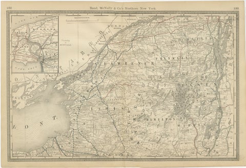
Antique Map of Northern New York – Rand McNally, circa 1888
1888 · Rand McNally
$515
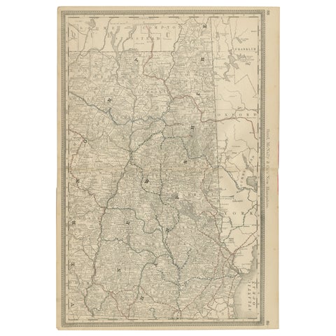
New Hampshire Antique Railroad Map c.1888 – Granite State Counties & Cities
1888 · Rand McNally
$515
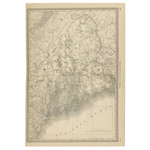
Maine Antique Railroad Map c.1888 – Pine Tree State Counties & Settlements
1888 · Rand McNally
$515
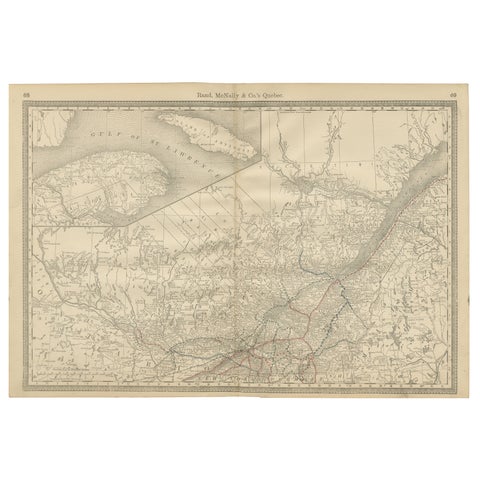
Quebec Antique Railroad Map c.1888 – La Belle Province, Cities & Towns
1888 · Rand McNally
$515
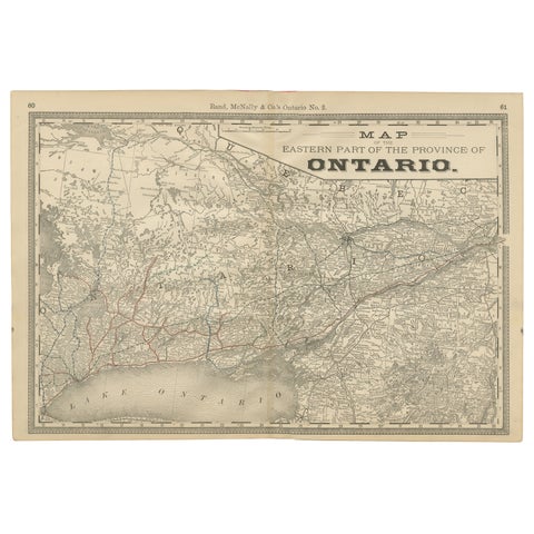
Eastern Ontario Antique Map c.1888 – The Heartland Province, Railroads
1888 · Rand McNally
$515
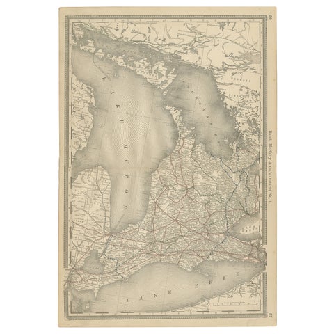
Ontario Antique Map c.1888 – Western Counties, Heartland Province Railroads
1888 · Rand McNally
$515
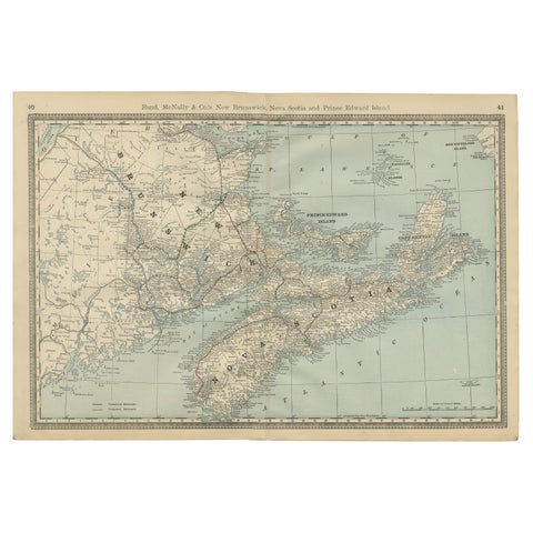
Nova Scotia, New Brunswick & Prince Edward Island Antique Map c.1888
1888 · Rand McNally
$515
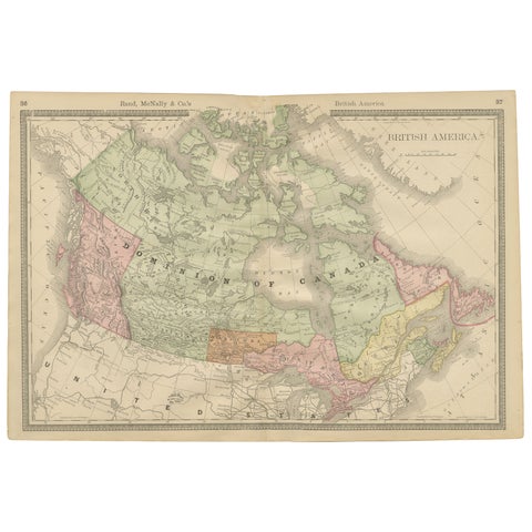
Canada Antique Railroad Map c.1888 – British America, Cities & Regions
1888 · Rand McNally
$515
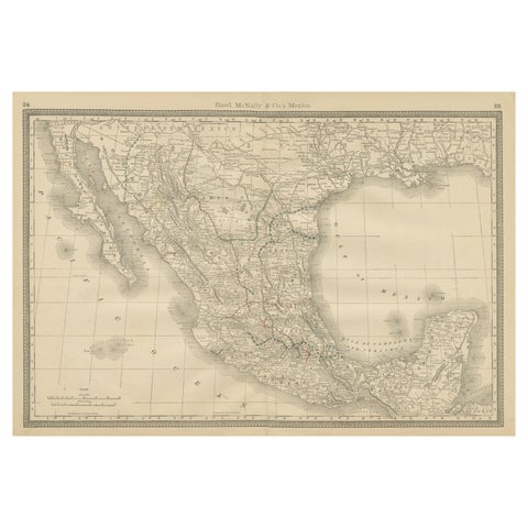
Mexico Antique Railroad Map c.1888 – Cities, States & Land of the Aztecs
1888 · Rand McNally
$515
★
Other periods