Antique maps & prints of the Americas
The Gilded Age
★ 258 original pieces ★
The great commercial atlases of Rand McNally, Cram and Johnson recorded a country covered in railroads. Territories in the West appear as states one after another.
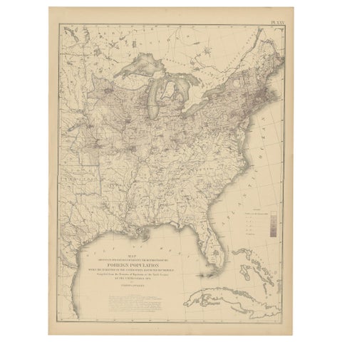
Pl. 25 Antique Chart of the US Foreign Population in 1870, '1874'
1870
$505
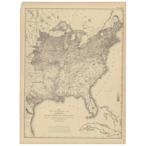
Pl. 26 Antique Chart of the US Foreign Population Proportion in 1870, '1874'
1870
$505
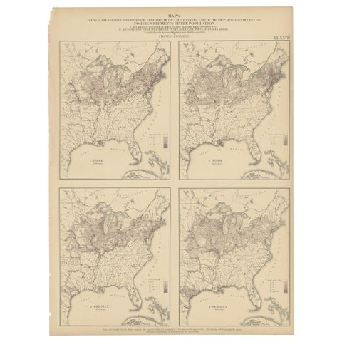
Antique Chart of the US Irish and German Population in 1870, '1874'
1870
$505
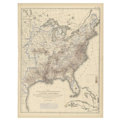
Pl. 21 Antique Chart of the US Colored Population Density in 1870, '1874'
1870
$505
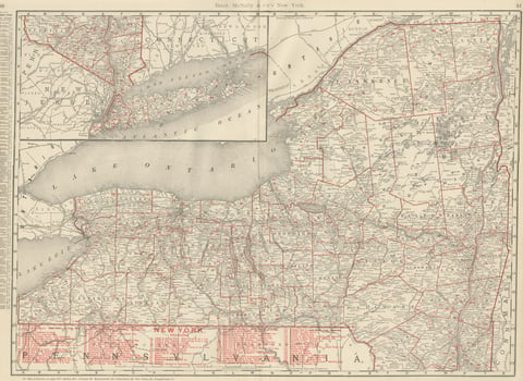
Antique Map of New York State, The Empire State, Rand McNally, 1899
1899 · Rand McNally
$500
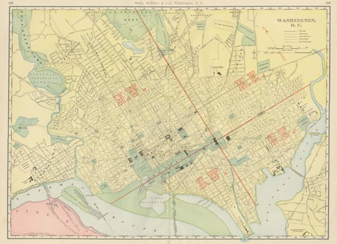
Antique Map of Washington, D.C., The Nation's Capital, Rand McNally, 1899
1899 · Rand McNally
$500
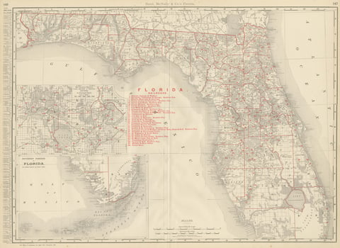
Antique Map of Florida, The Sunshine State, Rand McNally, 1899
1899 · Rand McNally
$500
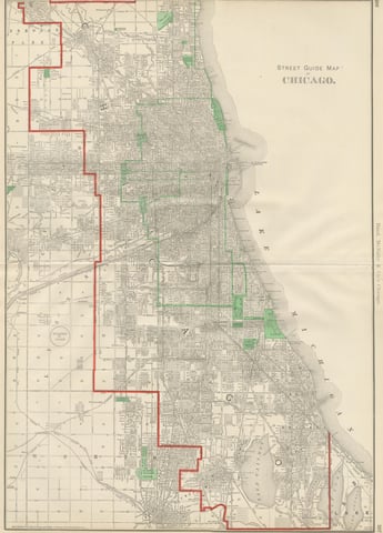
Antique Street Map of Chicago, with the Loop and Lakefront, Rand McNally, 1899
1899 · Rand McNally
$500
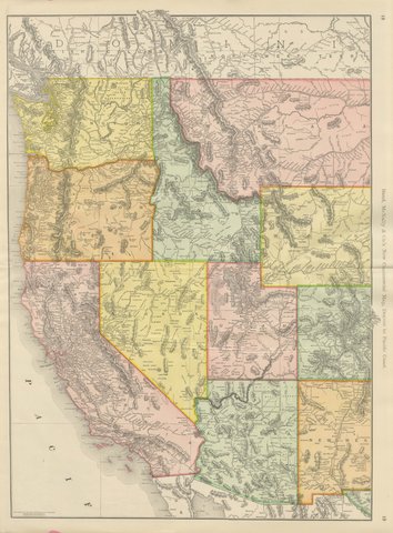
Antique Map of the Western United States, Denver to the Pacific Coast, 1899
1899 · Rand McNally
$500
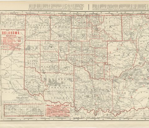
Antique Map of Oklahoma and Indian Territory, Before Statehood, 1899
1899 · Rand McNally
$500
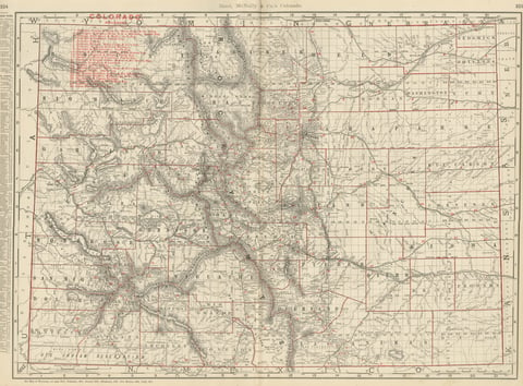
Antique Map of Colorado, The Centennial State, Rand McNally, 1899
1899 · Rand McNally
$500
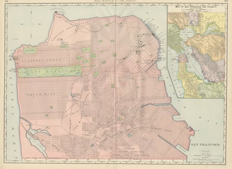
Antique Map of San Francisco, with Golden Gate Park, Rand McNally, 1899
1899 · Rand McNally
$500
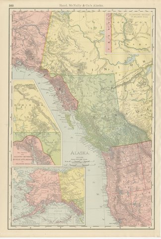
Antique Map of Alaska, with Klondike Gold Fields Inset, Rand McNally, 1899
1899 · Rand McNally
$500
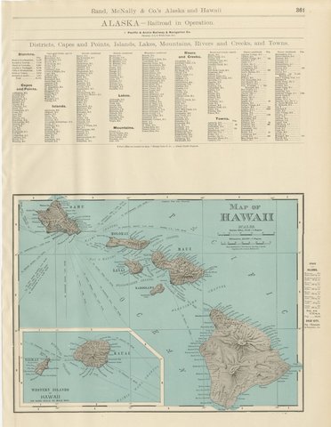
Antique Map of Hawaii, with Oahu and Honolulu, Rand McNally, 1899
1899 · Rand McNally
$500
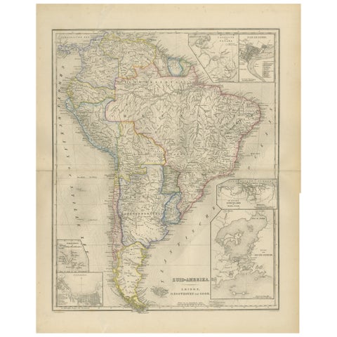
South America Map with Insets – Nieuwe Hand-Atlas, Noothoven van Goor, 1876
1876
$490
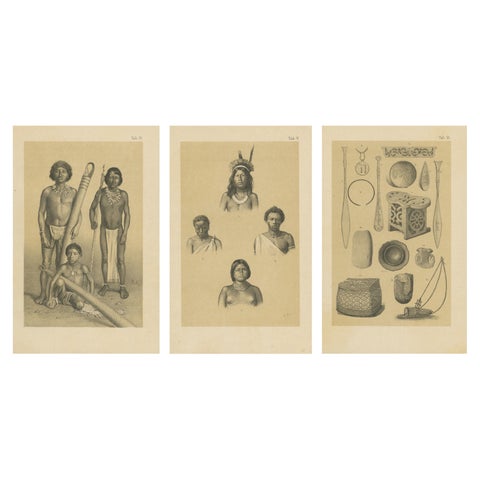
Suriname Indigenous People & Tribal Objects - Ethnographic Lithographs 1888
1888
$490
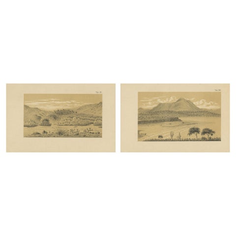
Aruba Landscape & Mountain Views - Dutch West Indies by Karl Martin, 1888
1888
$490
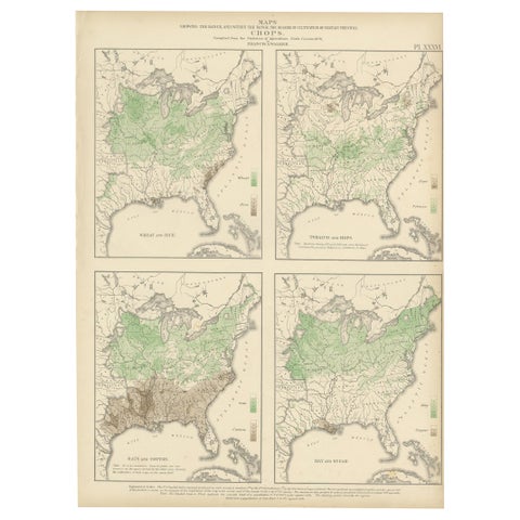
Antique US Crop Chart by Francis A. Walker, Lithographed Maps, 1874
1874
$470
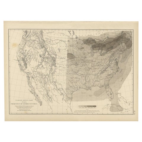
Antique Chart of the Storm Centres of the United States, 1874
1874
$450
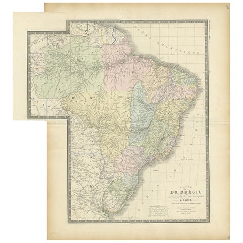
Antique Map of Brazil by Levasseur '1875'
1875
$450
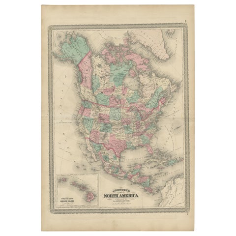
Antique Map of North America by Johnson, '1872'
1872 · A. J. Johnson
$450
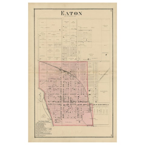
Antique Map of Eaton 'Ohio' by Titus, 1871
1871
$450
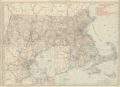
Antique Map of Massachusetts, The Bay State, Rand McNally, 1899
1899 · Rand McNally
$440
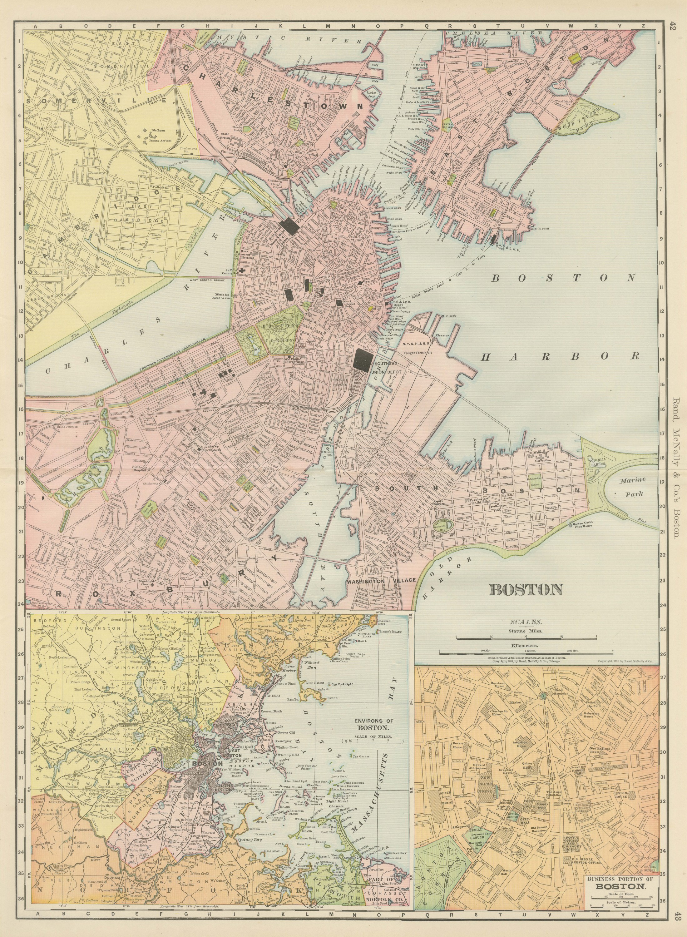
Antique Map of Boston, with Harbor and Environs Inset, Rand McNally, 1899
1899 · Rand McNally
$440
★
Other periods