Antique maps & prints of the Americas
Westward Expansion & Civil War
★ 122 original pieces ★
Texas, Oregon and the Mexican cession, the gold rush and the Civil War: two decades in which the map of the United States changed faster than at any time before or since.
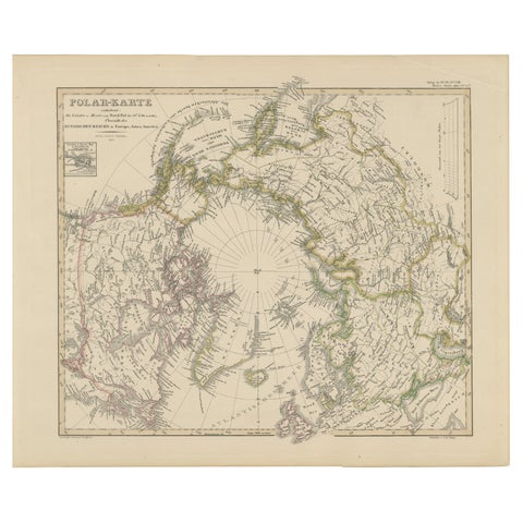
Arctic Polar Map – Greenland, North Pole & Russian Empire Regions, 1857
1857 · Stieler
$380
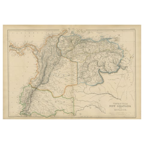
Venezuela, New Granada and Ecuador, Antique Map, Northern South America, 1860
1860
$380
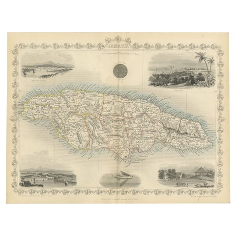
An Ornate and Historical Tallis Map of Jamaica with Decorative Vignettes, 1851
1851 · John Tallis
$370
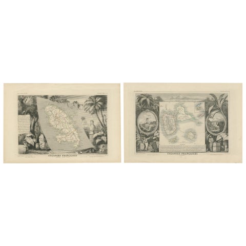
French Colonies in the Caribbean: Maps of Martinique and Guadeloupe (1852)
1852
$370
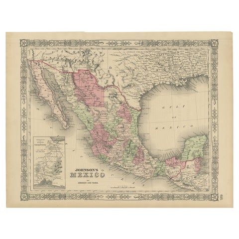
Johnson’s Mexico Map with Tehuantepec Inset, USA c.1864 – Hand-Colored
1864
$370
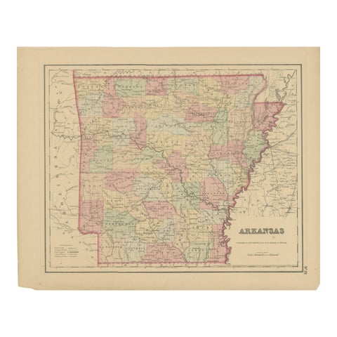
Arkansas Map by Colton, USA Published c.1864 – Hand-Colored County Map
1864 · J. H. Colton
$370
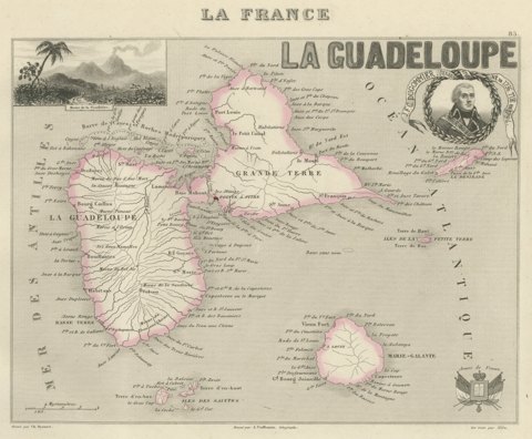
Antique Map of Guadeloupe, Marie-Galante and the Saintes, circa 1860
circa 1860
$360
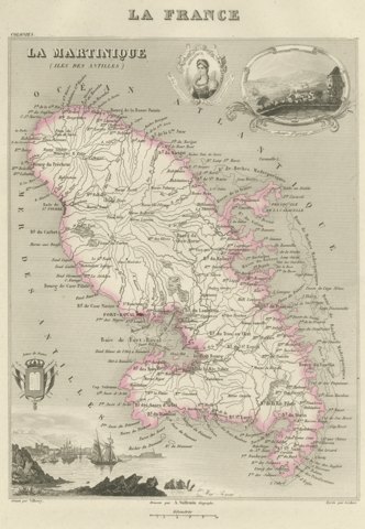
Antique Map of Martinique, Fort-Royal and the Caravelle, circa 1860
circa 1860
$360
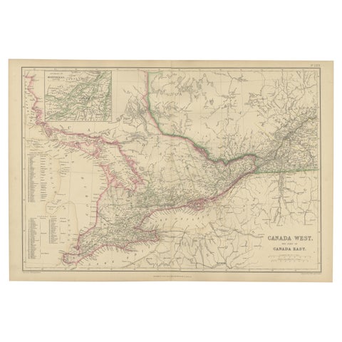
Canada West and Part of Canada East, Antique Map, Great Lakes Region, 1859
1859
$360
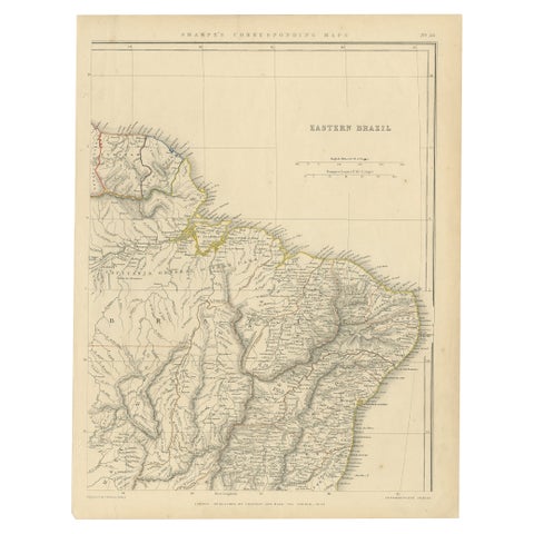
Antique Map of Eastern Brazil, 1849
1849
$360
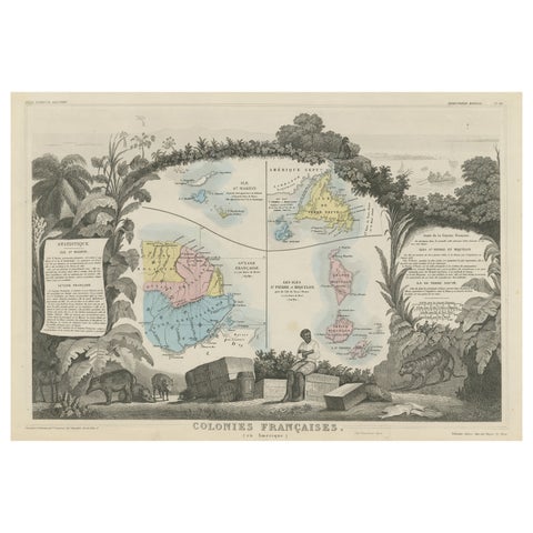
Original Steel Engraved Map of French Colonies in America, 1854
1854
$360
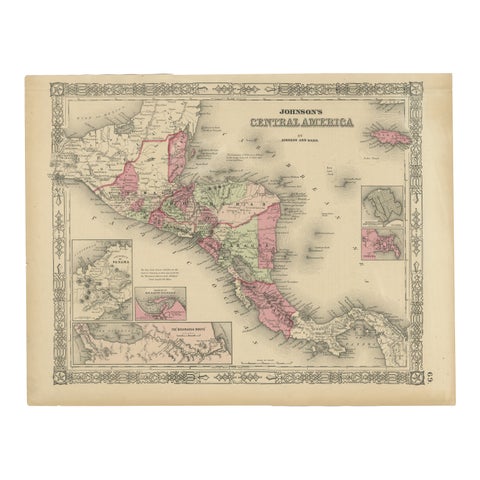
Central America Map – Johnson, Hand-Colored with Insets, c.1864
1864
$360
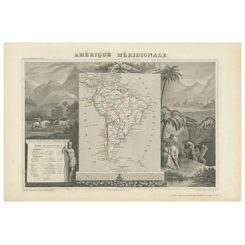
Antique Map of South America by V. Levasseur, 1854
1854
$335
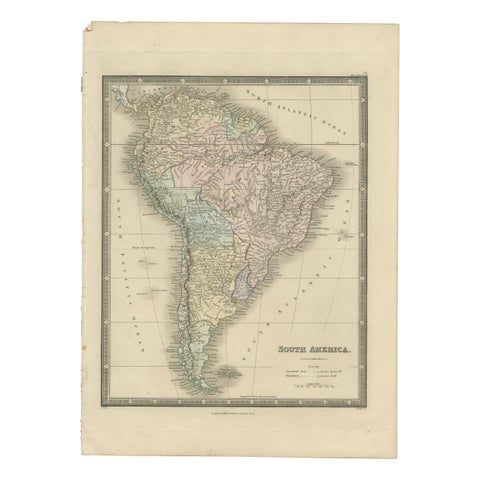
Antique Map of South America by Wyld, '1845'
1845
$335
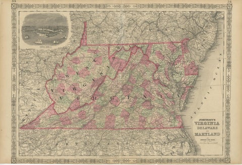
1864 Johnson's Map of Virginia, Delaware, and Maryland with Fort Monroe Inset
1864
$335
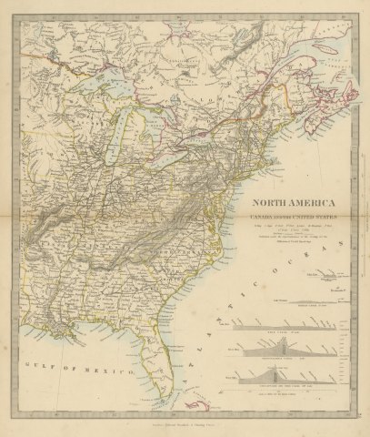
Antique Map of Canada and the United States with Canal Profiles, 1858
1858
$325

Antique Map of the Brazilian Coast with Rio de Janeiro Province, circa 1860
circa 1860
$325
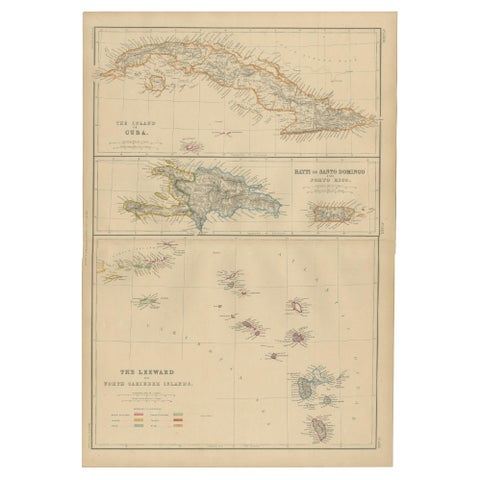
Cuba, Hayti, Santo Domingo and Leeward Islands, Antique Caribbean Map, 1859
1859
$325
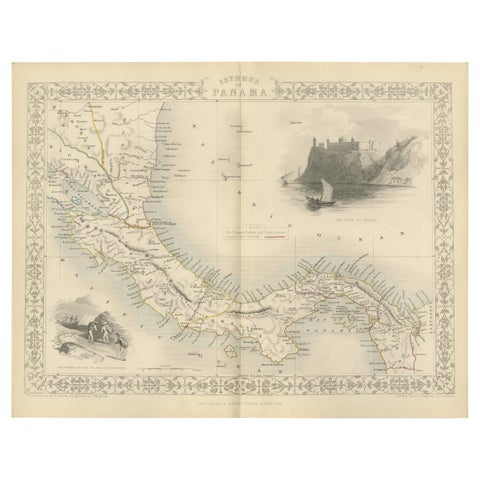
Crossroads of Empires: A John Tallis Map of the Isthmus of Panama, 1851
1851 · John Tallis
$325
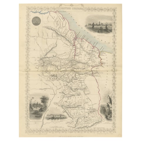
A Tallis Map of British Guiana with Colonial Vignettes and Other Landmarks, 1851
1851 · John Tallis
$325
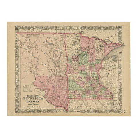
Minnesota and Dakota Map – Johnson, Hand-Colored, USA c.1864
1864
$325
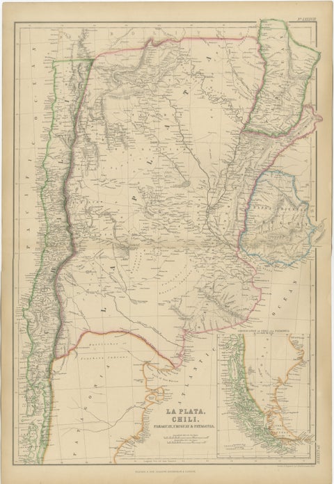
Antique Map of La Plata, Chile, Paraguay, Uruguay and Patagonia, 1860
1860
$325
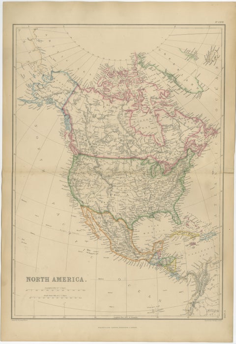
Antique Map of North America, Canada, United States and Mexico, 1860
1860
$325
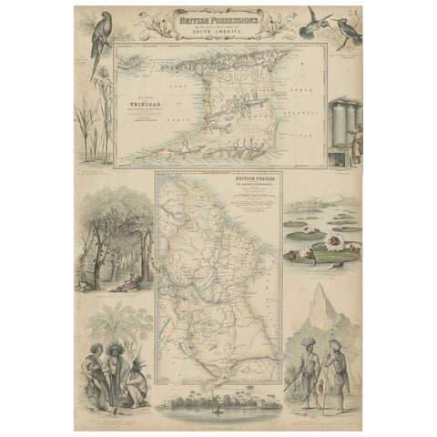
British Possessions on the North West Coast of South America, 1860
1860 · A. Fullarton
$320
★
Other periods