Antique maps & prints by
Jacques-Nicolas Bellin
★ 14 original pieces ★
Jacques-Nicolas Bellin (1703 to 1772) was chief hydrographer of the French navy, and his maps of New France, Louisiana and the West Indies are among the most detailed of the colonial period.
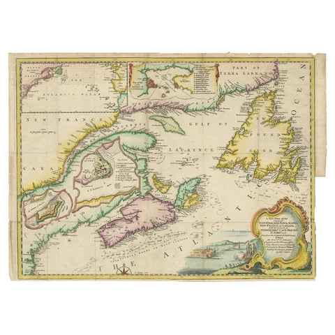
Antique Map Dedicated to British Merchants Trading to North America, ca.1746
1746 · Jacques-Nicolas Bellin
$950
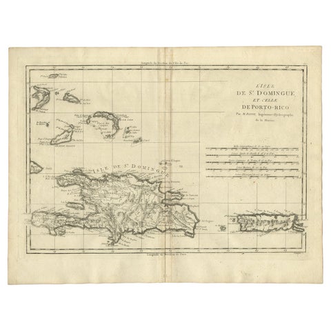
Detailed Antique Map of Santa Domingo, Puerto Rico, Eastern Bahamas, ca. 1780
1780 · Jacques-Nicolas Bellin
$785
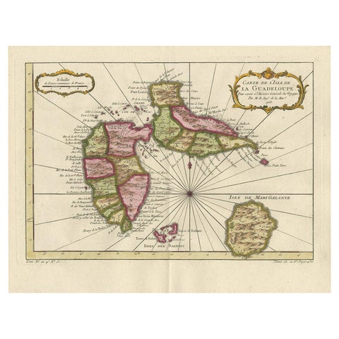
Antique Map of Guadelupe in the Caribbean, 1759
1759 · Jacques-Nicolas Bellin
$505
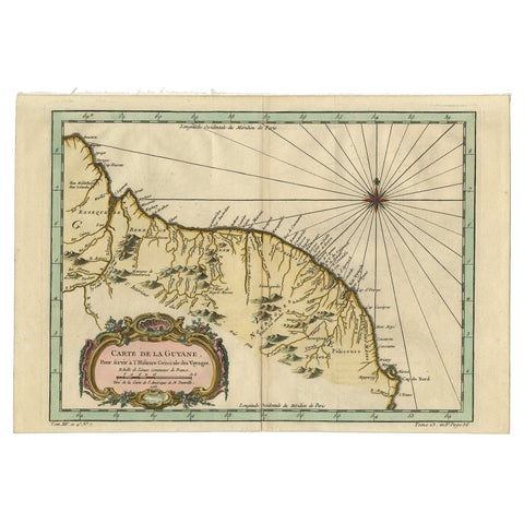
Old Map of Guyana, Suriname and French Guiana with Paramaribo and Cayenne, c1760
circa 1760 · Jacques-Nicolas Bellin
$505
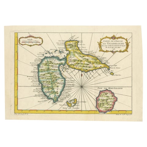
1758 Bellin Map of Guadeloupe and Marie-Galante – Caribbean Islands
1758 · Jacques-Nicolas Bellin
$490
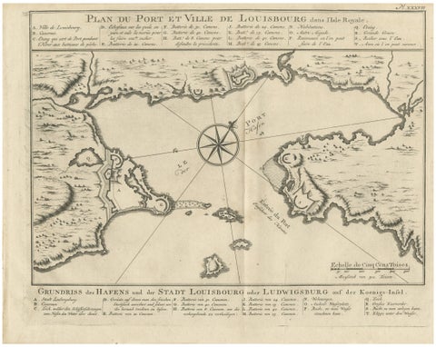
Plan of Louisbourg Harbor and Fortress, Cape Breton Island, c.1756
1756 · Jacques-Nicolas Bellin
$440
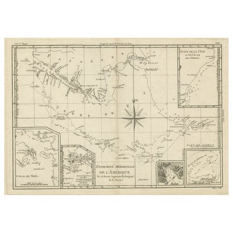
Copper Engraved Map of Tierra del Fuego and the Strait of Magellan, c1780
circa 1780 · Jacques-Nicolas Bellin
$405
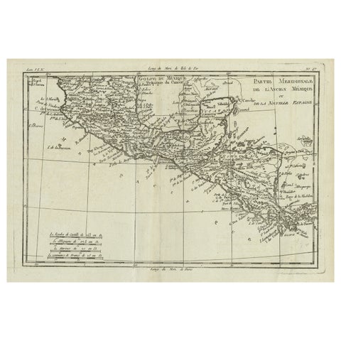
Antique French Engraving of Mexico with Lots of Details, c.1780
1780 · Jacques-Nicolas Bellin
$390
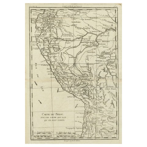
Map of the Western Coast of South America from Ecuador into Chili, ca.1780
1780 · Jacques-Nicolas Bellin
$380
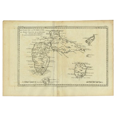
Antique Map of Guadeloupe with Les Saintes, Grand Bourg and La Désirade, c.1780
1780 · Jacques-Nicolas Bellin
$315
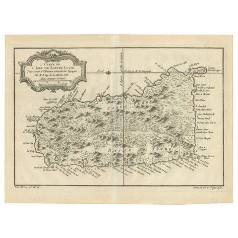
Original Engraved Map of Saint Lucia in the West Indies by Bellin, 1758
1758 · Jacques-Nicolas Bellin
$300
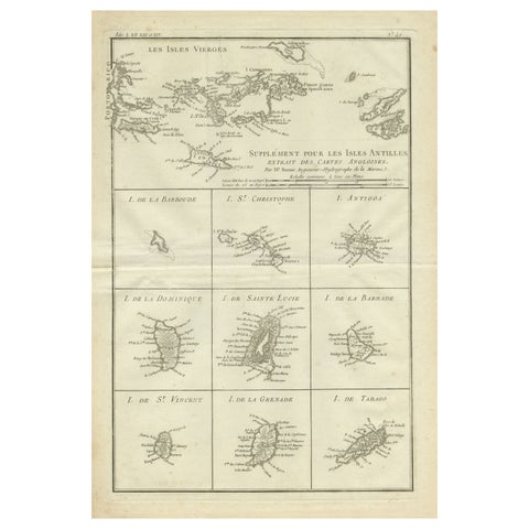
Original Antique Map of the Virgin Islands with Insets of Caribbean Isles, 1787
1787 · Jacques-Nicolas Bellin
$290
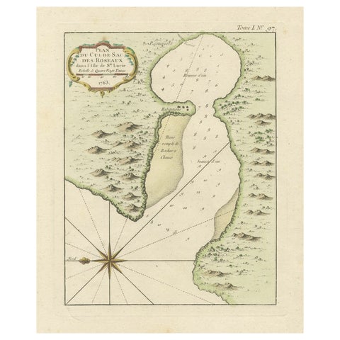
Roseaux, St. Lucia Island Map by Bellin, Handcolored Engraving, 1763
1763 · Jacques-Nicolas Bellin
$275
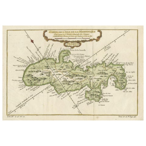
Martinique Island in the Caribbean by Bellin Original Original Antique Map, 1780
1780 · Jacques-Nicolas Bellin
$265
★
Other mapmakers and artists
Rand McNally
135 pieces
J. H. Colton
5 pieces
A. J. Johnson
14 pieces
John James Audubon
10 pieces
Mark Catesby
5 pieces
Blaeu
14 pieces
Theodor de Bry
10 pieces
Montanus & Ogilby
9 pieces
Frederick de Wit
3 pieces
Guillaume Delisle
9 pieces
Robert de Vaugondy
5 pieces
Rigobert Bonne
27 pieces
Homann Heirs
3 pieces
Thomas Kitchin
6 pieces
Emanuel Bowen
13 pieces
John Thomson
4 pieces
John Tallis
16 pieces
Adam & Charles Black
13 pieces
W. & A. K. Johnston
34 pieces
Stieler
12 pieces
Meyer
15 pieces
Van Keulen
3 pieces
Captain Cook voyages
17 pieces
La Perouse
4 pieces
Alexander von Humboldt
3 pieces
Auguste Wahlen
5 pieces