Original antique maps & prints of
Mexico
★ 17 original pieces ★
New Spain, Yucatan and the Mexican republic: original maps and prints of Mexico, including the scenes and costume studies that European travelers brought home.
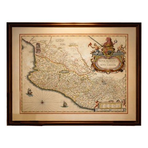
Antique Mexico Map Blaeu c.1642 – New Spain, Early Colonial Detail
1642 · Blaeu
$6,995
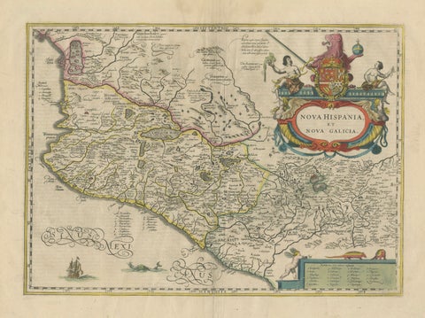
Antique Map of Southern Mexico & New Galicia, Janssonius, Amsterdam c.1650
1650 · Jansson
$2,065
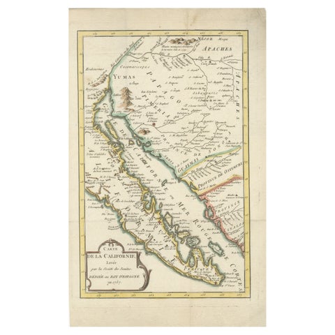
Rare 1757 Jesuit Map of California and Baja, Dedicated to the King of Spain
1757
$985
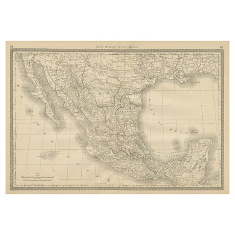
Mexico Antique Railroad Map c.1888 – Cities, States & Land of the Aztecs
1888 · Rand McNally
$515
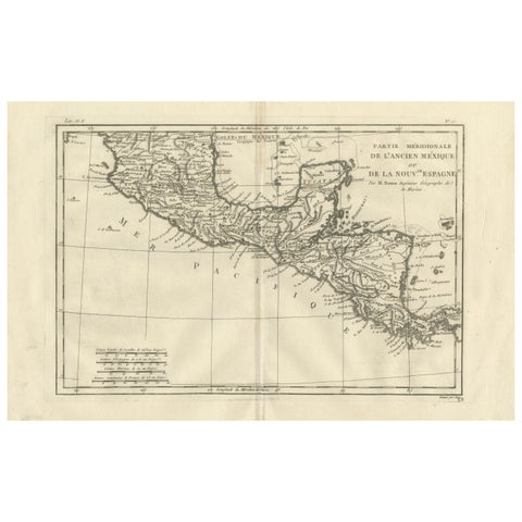
Southern Mexico & New Spain – Enlightenment Map by Rigobert Bonne, c.1780
1780 · Rigobert Bonne
$460
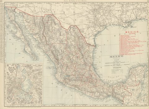
Antique Map of Mexico, with Valley of Mexico Inset, Rand McNally, 1899
1899 · Rand McNally
$440
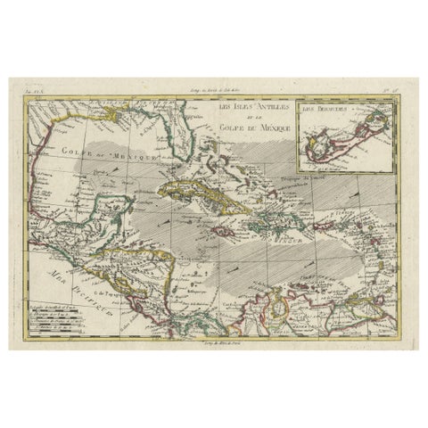
Original Engraving of the West Indies, Gulf of Mexico, Antilles, Caribbean, 1780
1780 · Rigobert Bonne
$435
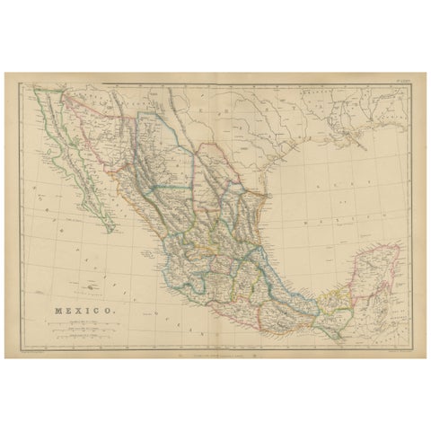
Mexico, Antique Map, Central America and Gulf of Mexico, Blackie Atlas 1860
1860
$430
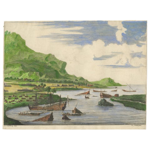
Cortés Scuttling Ships at Veracruz – Hand-Colored Engraving by Van Beecq, c.1690
1690
$405
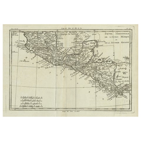
Antique French Engraving of Mexico with Lots of Details, c.1780
1780 · Jacques-Nicolas Bellin
$390
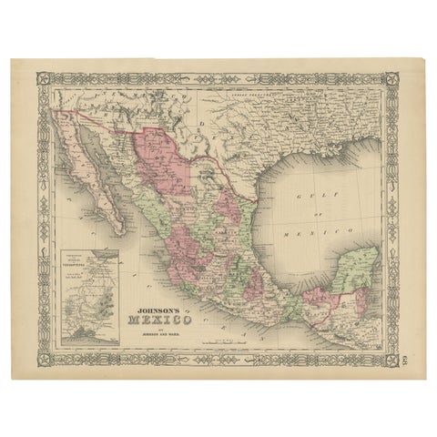
Johnson’s Mexico Map with Tehuantepec Inset, USA c.1864 – Hand-Colored
1864
$370
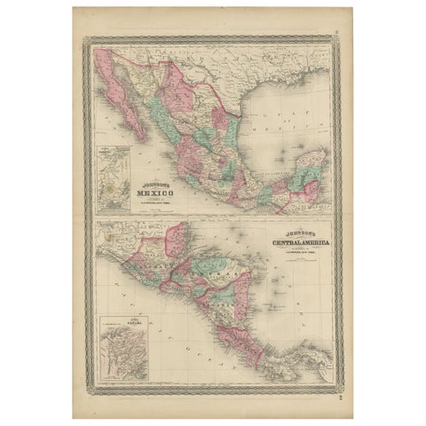
Antique Map of Mexico and Central America by Johnson '1872'
1872 · A. J. Johnson
$335
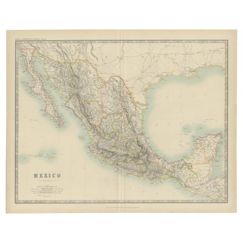
Antique Map of Mexico by Johnston, '1909'
1909 · W. & A. K. Johnston
$280
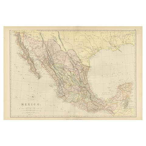
1882 Antique Map of Mexico Highlighting Geographical and Political Boundaries
1882
$280
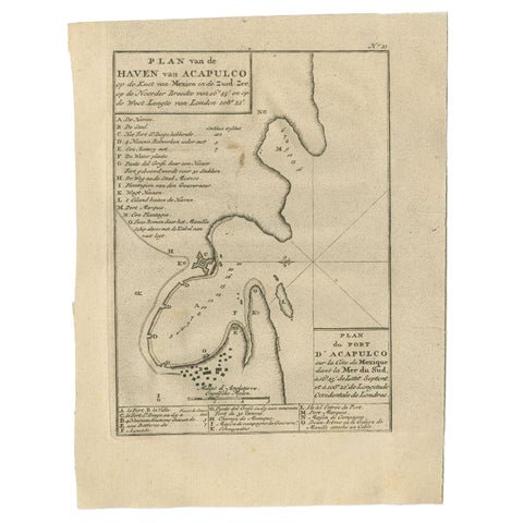
Antique Map of the Port of Acapulco in Mexico, 1749
1749
$270
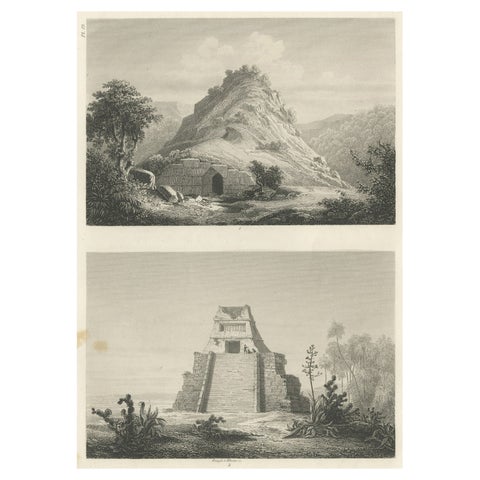
Original Rare Antique Print of Two Ruins in Mexico, 1857
1857
$245
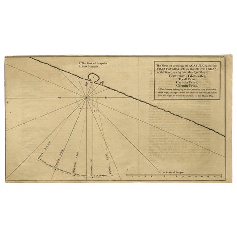
Navigational Chart of Mexico's Coast, with Acapulco and Port Marquis, 1748
1748
$155