Original antique maps & prints of
The Mountain West
★ 37 original pieces ★
Colorado, Utah, Nevada, Idaho, Montana and Wyoming: the mining frontier and the last territories to be mapped in detail.
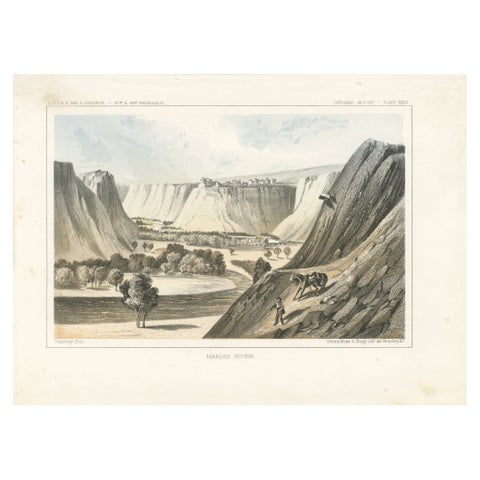
Majestic View of the Marias River Canyon by Great Falls, Montana - Litho of 1856
1856
$245
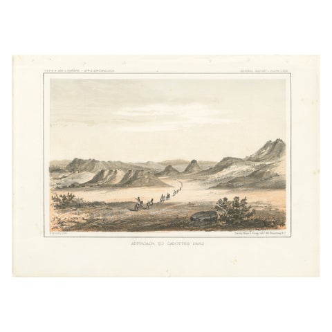
Scenic Expedition to Cadotte’s Pass in the Rocky Mountains, Tinted Litho of 1856
1856
$245
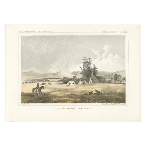
Native American Camp Scene at Hell Gate Ronde – Peaceful Prairie Landscape, 1856
1856
$245
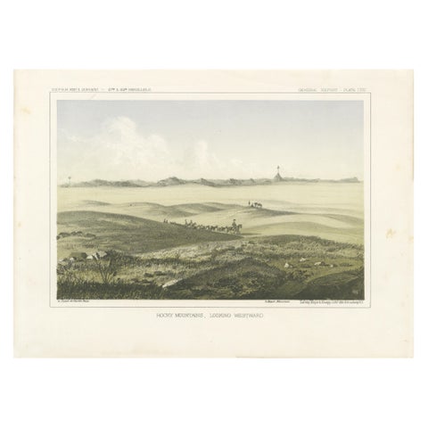
1856 Tinted Lithograph of the Expansive Rocky Mountain Plains: A View Westward
1856
$245
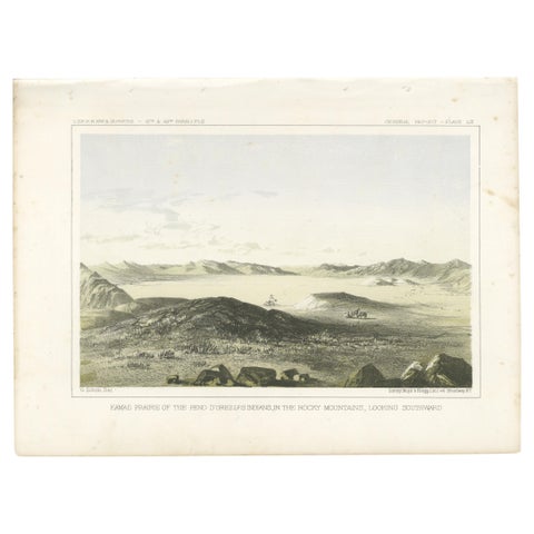
The Kamas Prairie - Rocky Mountains Landscape with Pend d'Oreilles Legacy - 1856
1856
$245
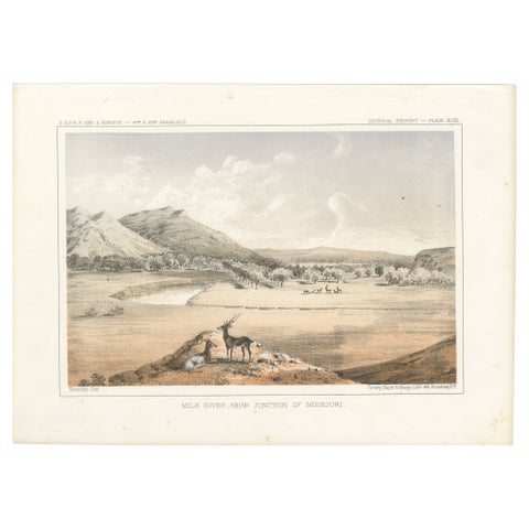
Scenic View of Milk River and Missouri Junction with Wildlife - Lithograph 1856
1856
$245
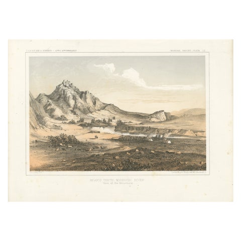
Depiction of Bear’s Teeth at the Missouri River - Gateway to the Rockies, 1856
1856
$245
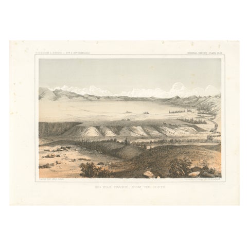
Big Hole Prairie View – Scenic Montana Landscape Print, Published in 1856
1856
$245
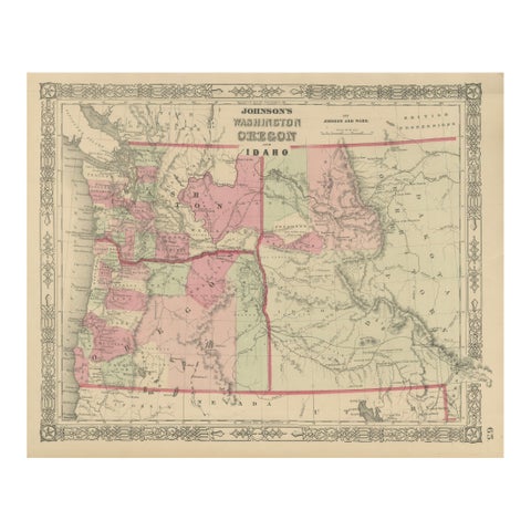
Washington Oregon Idaho Map – Johnson, Hand-Colored, c.1864
1864
$245
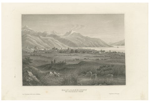
Antique Steel Engraving of Salt Lake City, Mormon Settlement, ca. 1850
1850
$245
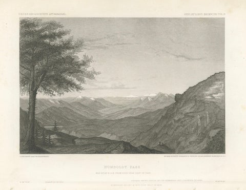
Humboldt Pass, Great Basin Nevada – Beckwith Survey Engraving, c.1855
1855 · Alexander von Humboldt
$245
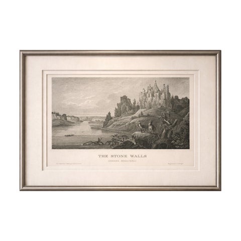
Stone Walls Upper Missouri Antique Print, River Landscape Wildlife c.1850
1850
$245
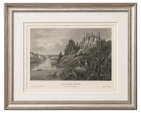
Missouri River Stone Walls, Antique Steel Engraving c.1850
1850
$195
← PreviousPage 2 of 2
★
States in The Mountain West