Original antique maps & prints of
The Mountain West
★ 15 original pieces ★
Colorado, Utah, Nevada, Idaho, Montana and Wyoming: the mining frontier and the last territories to be mapped in detail.
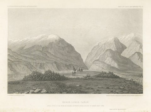
Antique Utah Landscape Print, Weber Canyon & Great Salt Lake Valley, 1861
1861
$315
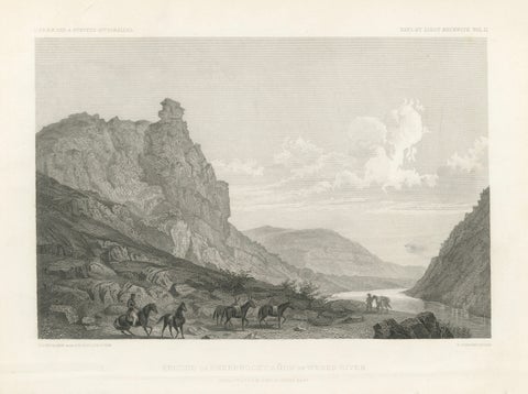
Antique Utah Canyon Print, Weber River & Sheep Rock Canyon View, 1861
1861
$315
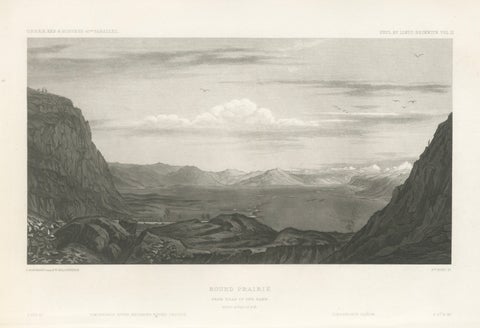
Antique Utah Landscape Print, Round Prairie & Timpanogos Valley, 1861
1861
$315
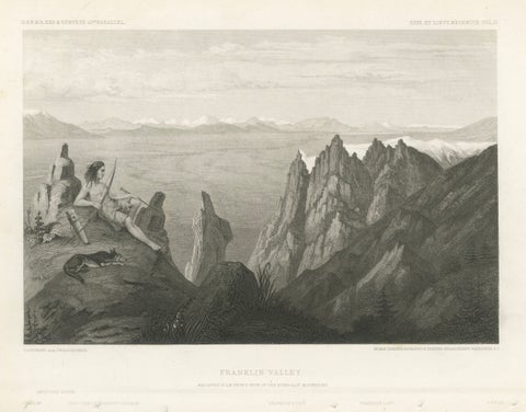
Franklin Valley, Great Basin Nevada – Beckwith Survey Engraving, c.1855
1855
$290
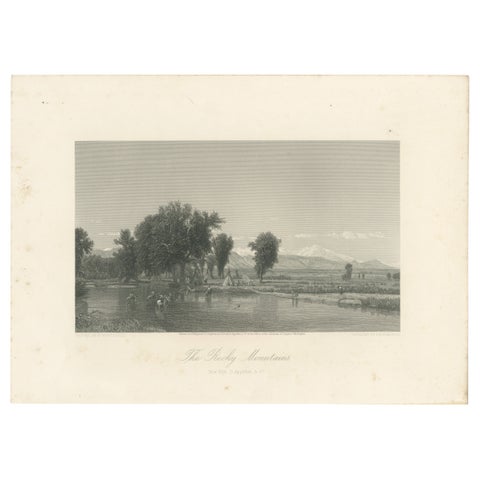
The Rocky Mountains, Western Frontier Landscape – Antique Engraving, ca.1873
1873
$255
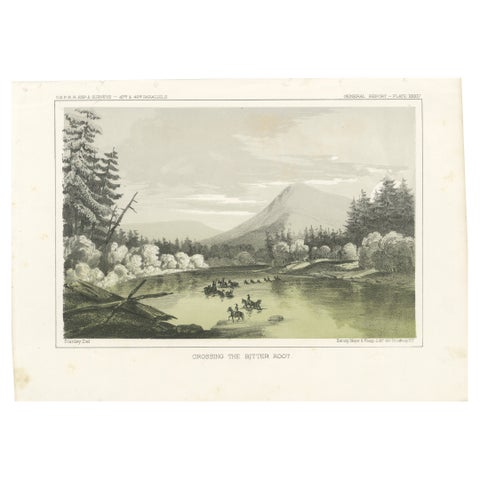
Crossing the Bitter Root River in Western Montana, USA - Tinted Lithograph, 1856
1856
$245
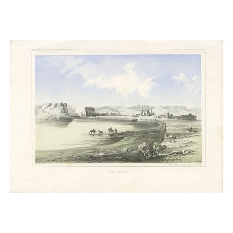
Historic Fort Benton Along the Missouri River – 19th Century Lithograph Print
$245
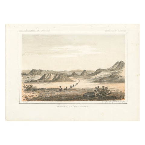
Scenic Expedition to Cadotte’s Pass in the Rocky Mountains, Tinted Litho of 1856
1856
$245
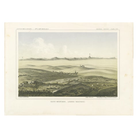
1856 Tinted Lithograph of the Expansive Rocky Mountain Plains: A View Westward
1856
$245
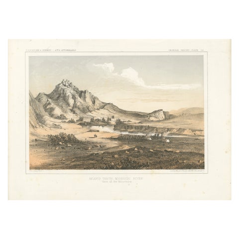
Depiction of Bear’s Teeth at the Missouri River - Gateway to the Rockies, 1856
1856
$245
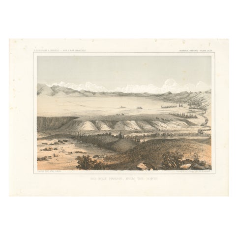
Big Hole Prairie View – Scenic Montana Landscape Print, Published in 1856
1856
$245
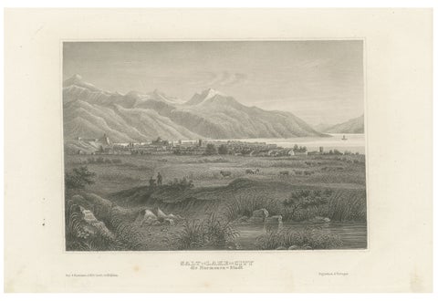
Antique Steel Engraving of Salt Lake City, Mormon Settlement, ca. 1850
1850
$245
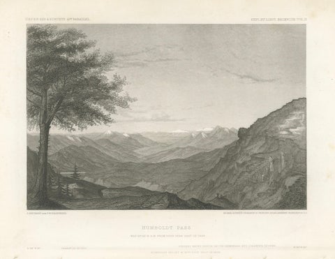
Humboldt Pass, Great Basin Nevada – Beckwith Survey Engraving, c.1855
1855 · Alexander von Humboldt
$245
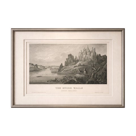
Stone Walls Upper Missouri Antique Print, River Landscape Wildlife c.1850
1850
$245
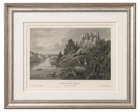
Missouri River Stone Walls, Antique Steel Engraving c.1850
1850
$195
★
States in The Mountain West