Original antique maps & prints of
The Mountain West
★ 15 original pieces ★
Colorado, Utah, Nevada, Idaho, Montana and Wyoming: the mining frontier and the last territories to be mapped in detail.
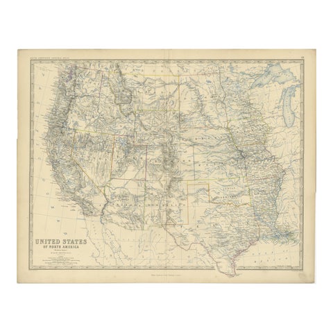
1874 Map of Western United States – Detailed Atlas by Keith Johnston
1874 · W. & A. K. Johnston
$615
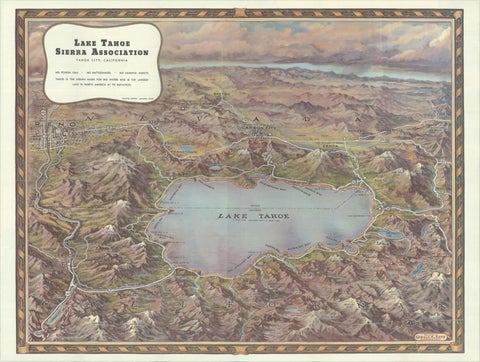
Vintage Lake Tahoe Bird’s-Eye View Pictorial Map by Gerald A. Eddy, circa 1945
1945
$605
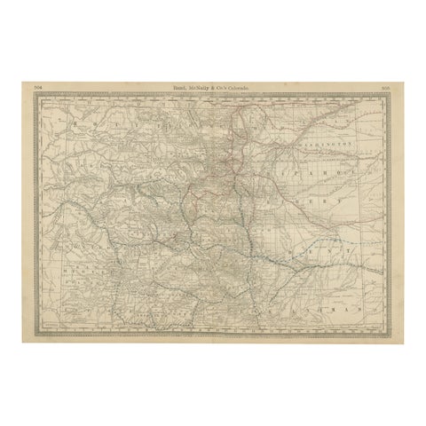
1888 Colorado Map – The Centennial State’s Railroads, Mines & Counties
1888 · Rand McNally
$535
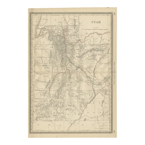
Rare 1888 Utah Map – The Beehive State’s Railroads, Counties & Great Salt Lake
1888 · Rand McNally
$515
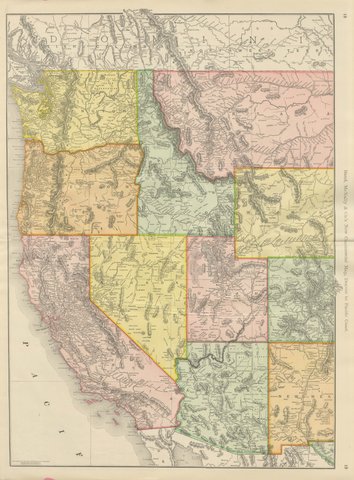
Antique Map of the Western United States, Denver to the Pacific Coast, 1899
1899 · Rand McNally
$500
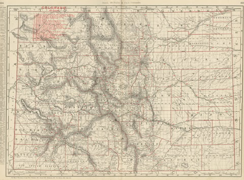
Antique Map of Colorado, The Centennial State, Rand McNally, 1899
1899 · Rand McNally
$500
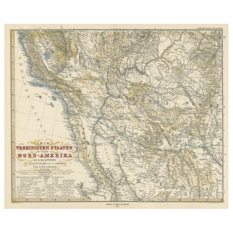
Antique Map of Part of the United States Including Lower California & Arizona
circa 1879 · Stieler
$490
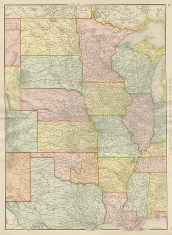
Antique Map of the Central United States, Chicago to Denver, Rand McNally, 1899
1899 · Rand McNally
$440
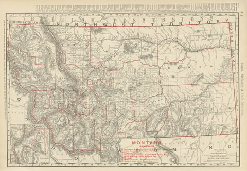
Antique Map of Montana, The Treasure State, Rand McNally, 1899
1899 · Rand McNally
$385
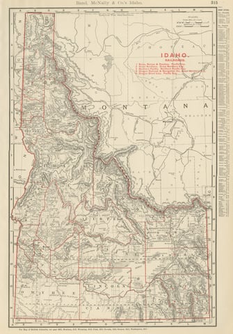
Antique Map of Idaho, The Gem State, Rand McNally, 1899
1899 · Rand McNally
$385
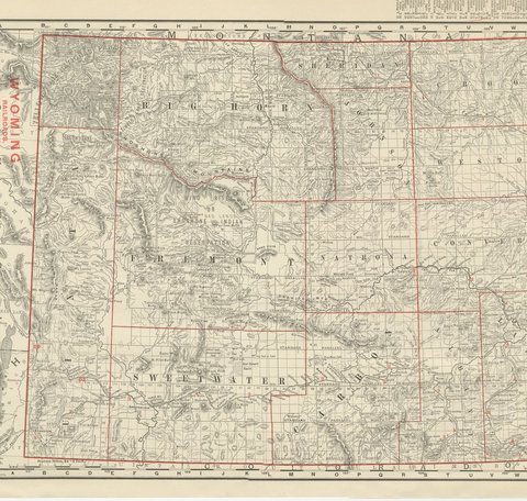
Antique Map of Wyoming, The Cowboy State, Rand McNally, 1899
1899 · Rand McNally
$385
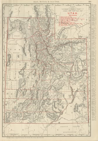
Antique Map of Utah, The Beehive State, Rand McNally, 1899
1899 · Rand McNally
$385
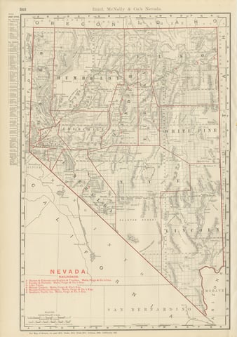
Antique Map of Nevada, The Silver State, Rand McNally, 1899
1899 · Rand McNally
$385
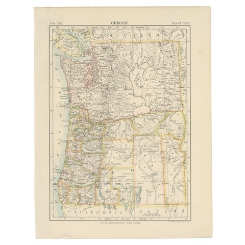
Antique Map of Oregon
1884
$325
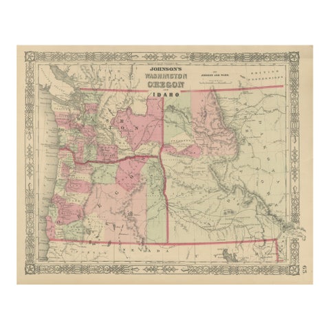
Washington Oregon Idaho Map – Johnson, Hand-Colored, c.1864
1864
$245
★
States in The Mountain West