Search
★ 1,496 original pieces ★
Type a place, a mapmaker or a year in the search box above.
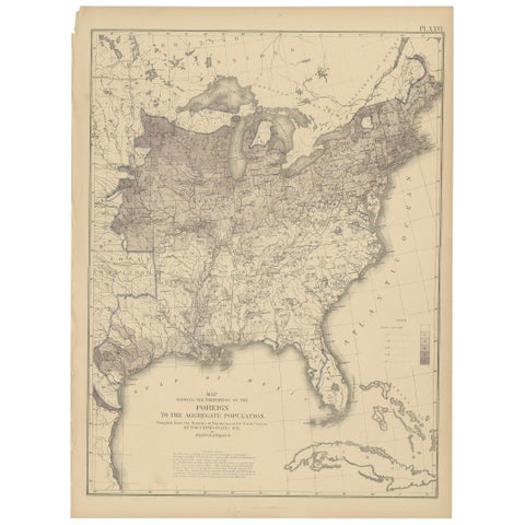
Pl. 26 Antique Chart of the US Foreign Population Proportion in 1870, '1874'
1870
$505
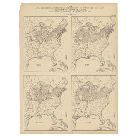
Antique Chart of the US Irish and German Population in 1870, '1874'
1870
$505
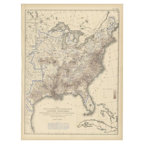
Pl. 21 Antique Chart of the US Colored Population Density in 1870, '1874'
1870
$505
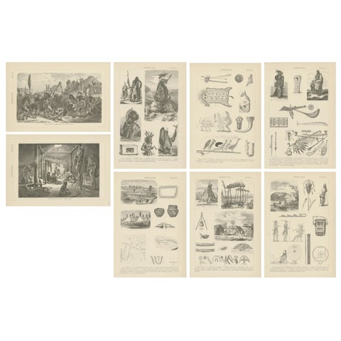
Set of 8 Antique Prints of Various Scenes, Figures and Objects of North America
$505
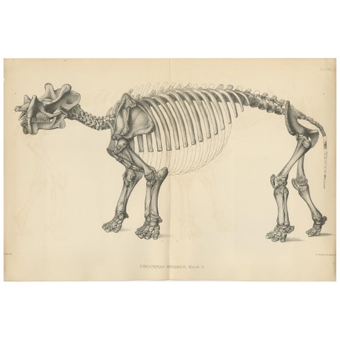
Antique Paleontology Print of a Dinoceras Mirabile by Marsh, 1886
1886
$505
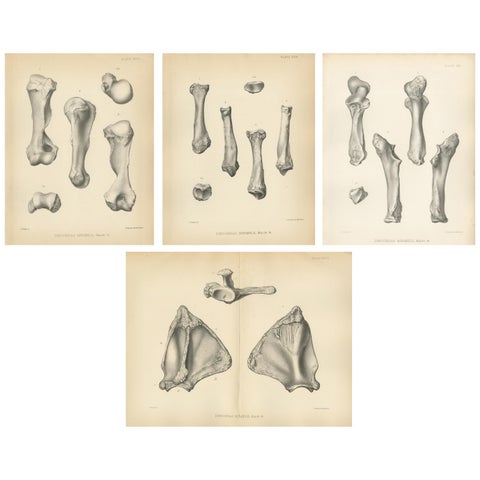
Set of 4 Antique Paleontology Prints of a Dinoceras Mirabile by Marsh, 1886
1886
$505
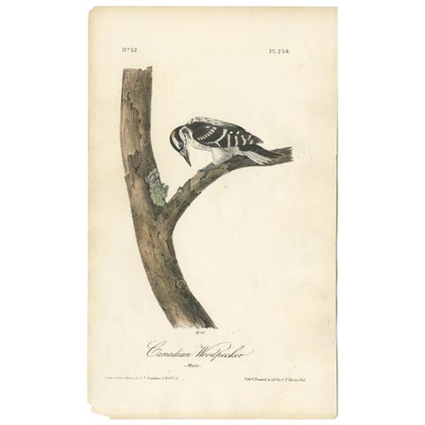
Antique Bird Print of the Canadian Woodpecker by Audubon, c.1840
1840 · John James Audubon
$505
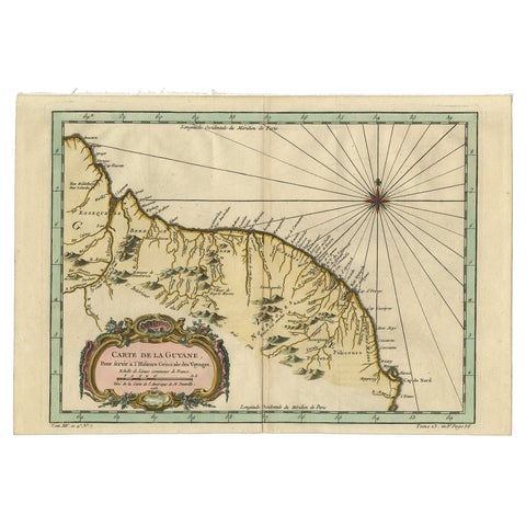
Old Map of Guyana, Suriname and French Guiana with Paramaribo and Cayenne, c1760
circa 1760 · Jacques-Nicolas Bellin
$505
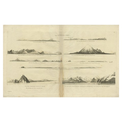
Antique Map of the West Coast of America with Island Views, ca.1784
1784 · Captain Cook voyages
$505
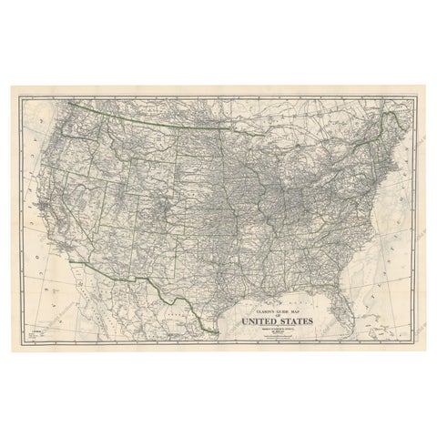
Old Map of the American Railroad Network and All Weather Roads on Verso, 1931
1931
$505
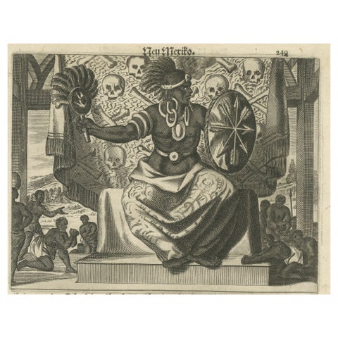
Cultural Encounter in New Mexico, Copper Engraving Published in 1673
1673 · Montanus & Ogilby
$505
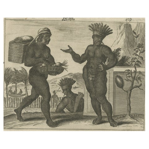
Daily Life in Brazil in the early 17th Century on a Copper Engraving by Montanus
1673 · Montanus & Ogilby
$505
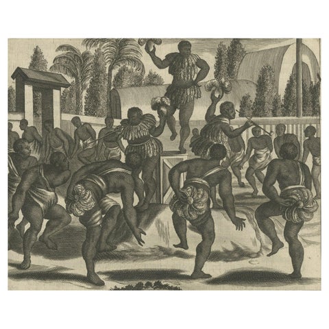
Ritual Dance in Brazil in the 17th Century on a Copper Engraving by Montanus
1673 · Montanus & Ogilby
$505
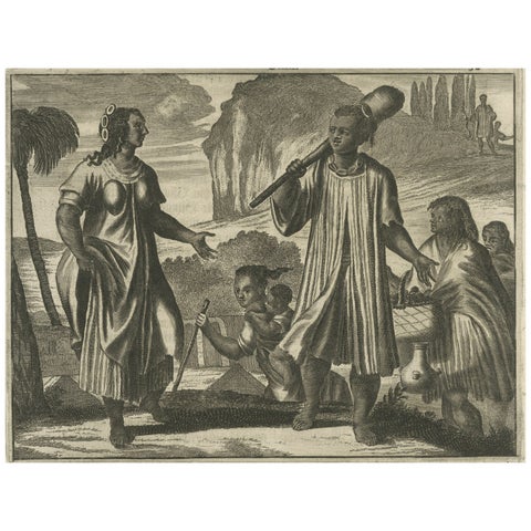
Scenes from 17th Century Chile: A Glimpse of Early Indigenous Cultures, 1673
1673 · Montanus & Ogilby
$505
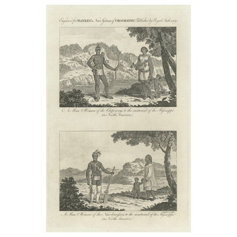
Engraved Representations of North American Tribes around the Mississippi, 1787
1787
$505
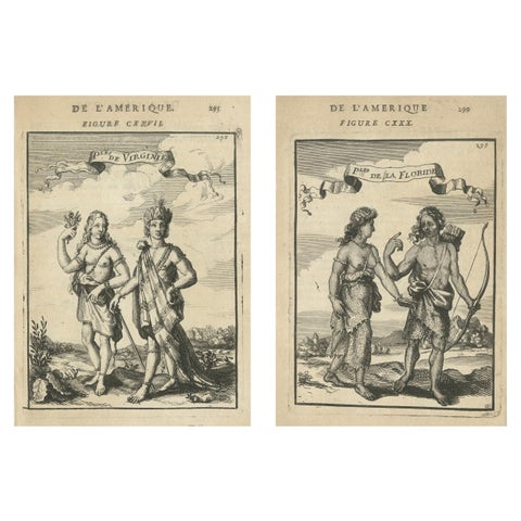
Pair of Virginia and Florida Natives, America – Ethnographic Engravings, 1683
1683
$505
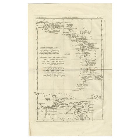
Caribbean & Lesser Antilles – Enlightenment Map by Rigobert Bonne, c.1780
1780 · Rigobert Bonne
$505
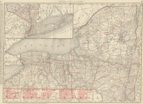
Antique Map of New York State, The Empire State, Rand McNally, 1899
1899 · Rand McNally
$500
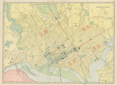
Antique Map of Washington, D.C., The Nation's Capital, Rand McNally, 1899
1899 · Rand McNally
$500
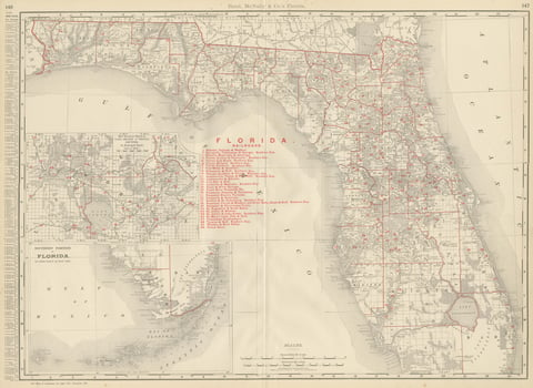
Antique Map of Florida, The Sunshine State, Rand McNally, 1899
1899 · Rand McNally
$500
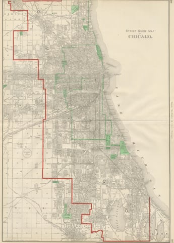
Antique Street Map of Chicago, with the Loop and Lakefront, Rand McNally, 1899
1899 · Rand McNally
$500
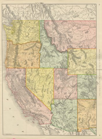
Antique Map of the Western United States, Denver to the Pacific Coast, 1899
1899 · Rand McNally
$500
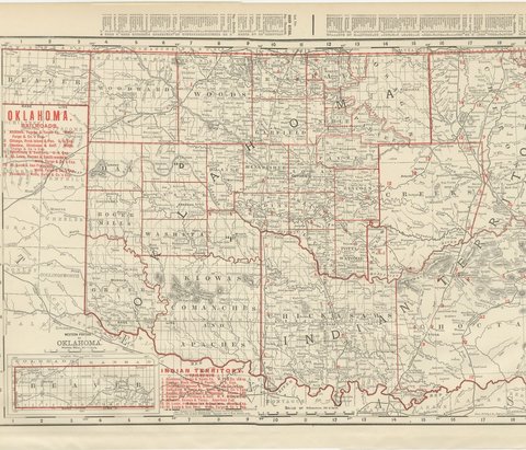
Antique Map of Oklahoma and Indian Territory, Before Statehood, 1899
1899 · Rand McNally
$500
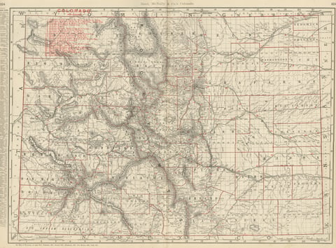
Antique Map of Colorado, The Centennial State, Rand McNally, 1899
1899 · Rand McNally
$500