Search
★ 638 original pieces ★
Type a place, a mapmaker or a year in the search box above.
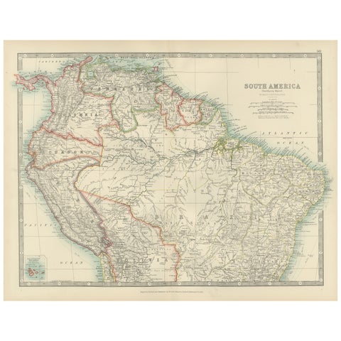
Map of Northern South America – Vibrant Engraving by Keith Johnston, 1903
1903 · W. & A. K. Johnston
$380
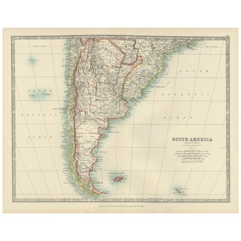
Map of Southern South America – Richly Detailed Engraving by K.Johnston, 1903
1903 · W. & A. K. Johnston
$380
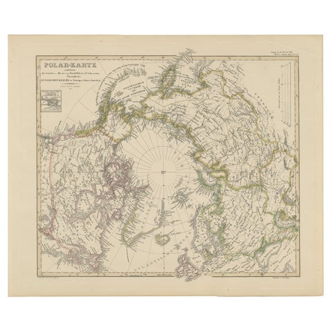
Arctic Polar Map – Greenland, North Pole & Russian Empire Regions, 1857
1857 · Stieler
$380
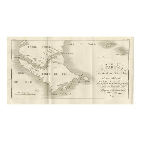
Map of Tierra del Fuego and the Straits of Magellan and Le Maire, c.1760
1760
$380
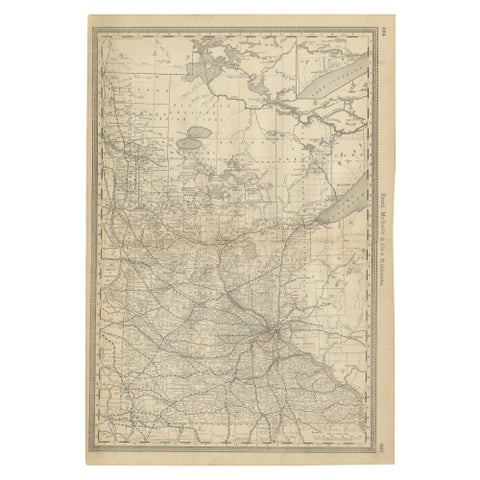
Antique Minnesota Map Wall Art by Rand McNally, Color Lithograph, 1888
1888 · Rand McNally
$380
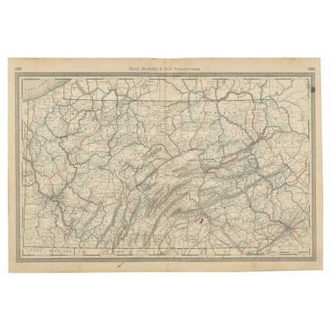
Antique Pennsylvania Map Wall Art – Railroads, Mountains & Cities, Rand McNally
Rand McNally
$380
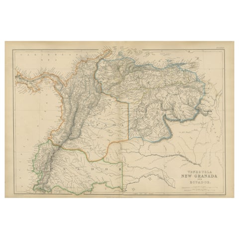
Venezuela, New Granada and Ecuador, Antique Map, Northern South America, 1860
1860
$380
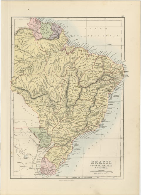
Antique Brazil Map, Uruguay, Paraguay & Guiana, Bartholomew, 1884
1884 · Adam & Charles Black
$380
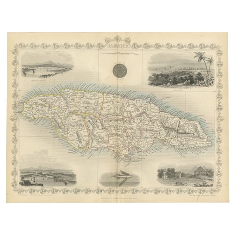
An Ornate and Historical Tallis Map of Jamaica with Decorative Vignettes, 1851
1851 · John Tallis
$370
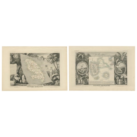
French Colonies in the Caribbean: Maps of Martinique and Guadeloupe (1852)
1852
$370
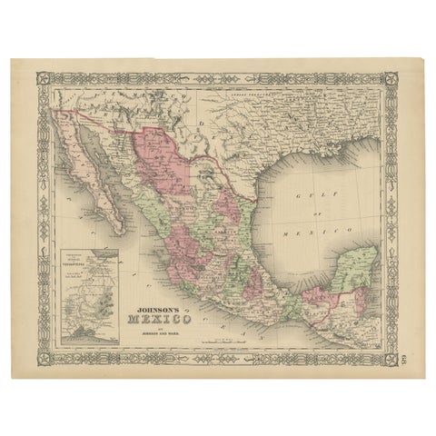
Johnson’s Mexico Map with Tehuantepec Inset, USA c.1864 – Hand-Colored
1864
$370
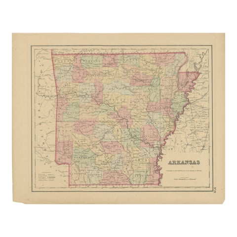
Arkansas Map by Colton, USA Published c.1864 – Hand-Colored County Map
1864 · J. H. Colton
$370
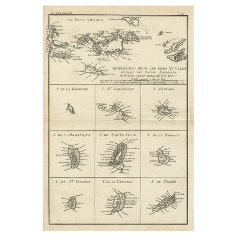
Map of Virgin Islands and Lesser Antilles by Rigobert Bonne, c. 1780
1780 · Rigobert Bonne
$370
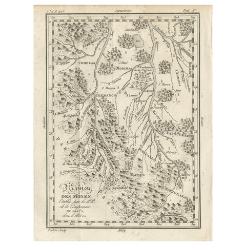
Mission of the Moxos, Peru – Antique French Jesuit Map by Portier, c.1790
1790
$370
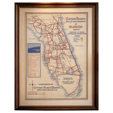
Antique Florida Highway Map – Conners Highway, Lake Okeechobee Roads, ca.1924
1924
$370
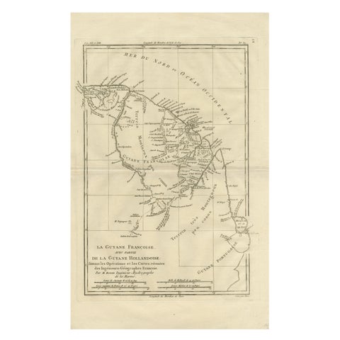
French Guiana & Suriname – Rigobert Bonne’s Colonial Map of the Guianas, c.1780
1780 · Rigobert Bonne
$370
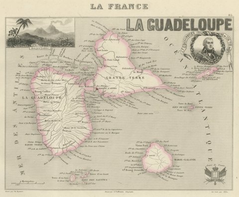
Antique Map of Guadeloupe, Marie-Galante and the Saintes, circa 1860
circa 1860
$360
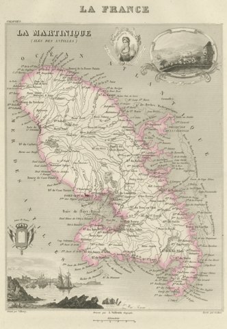
Antique Map of Martinique, Fort-Royal and the Caravelle, circa 1860
circa 1860
$360
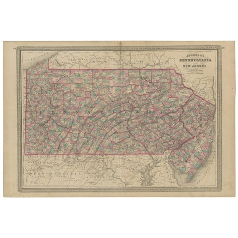
Antique Map of Pennsylvania and New Jersey by Johnson, 1872
1872 · A. J. Johnson
$360
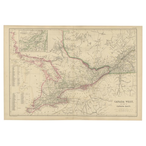
Canada West and Part of Canada East, Antique Map, Great Lakes Region, 1859
1859
$360
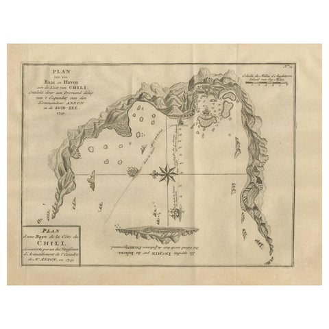
Antique Map of a Bay on the Coast of Chile, South America, c.1749
1749
$360
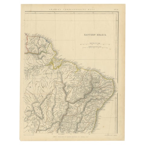
Antique Map of Eastern Brazil, 1849
1849
$360
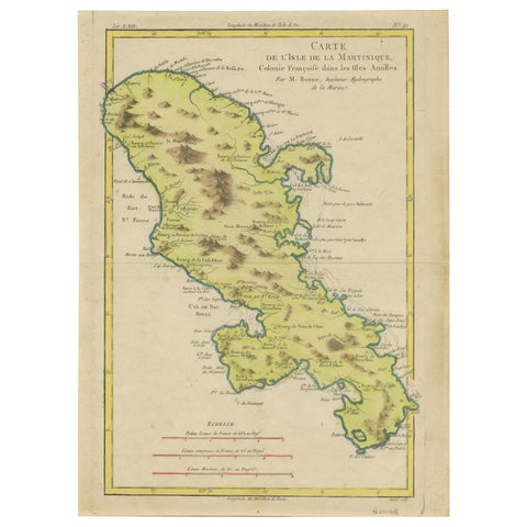
Antique Map of Martinique by Rigobert Bonne, Circa 1780
1780 · Rigobert Bonne
$360
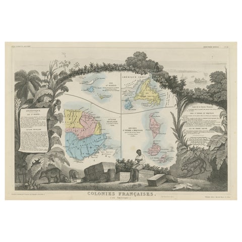
Original Steel Engraved Map of French Colonies in America, 1854
1854
$360