A Bartele Gallery CollectionLangweer · Jakarta

American Maps & Prints
Original antique maps, charts & prints of the Americas ★ Originals only


Search

★ 638 original pieces ★

Type a place, a mapmaker or a year in the search box above.
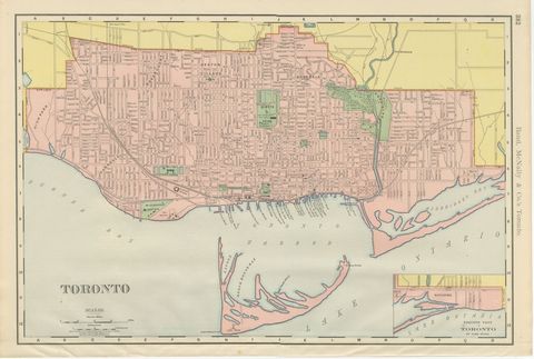
Antique Map of Toronto, with Queen's Park, Rand McNally, 1899
1899 · Rand McNally
$330

Antique Map of South America, with the Amazon Basin, Rand McNally, 1899
1899 · Rand McNally
$330
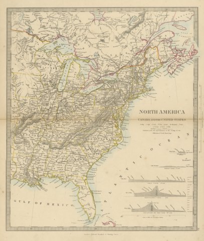
Antique Map of Canada and the United States with Canal Profiles, 1858
1858
$325

Antique Map of the Brazilian Coast with Rio de Janeiro Province, circa 1860
circa 1860
$325
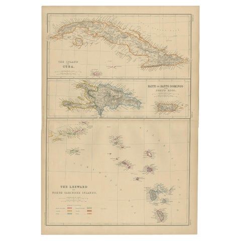
Cuba, Hayti, Santo Domingo and Leeward Islands, Antique Caribbean Map, 1859
1859
$325
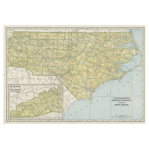
Colorful Old Detailed Map of Northern Carolina, United States of America
1931
$325
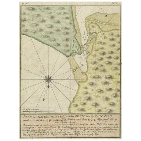
Antique Plan of Plan of St. Julian's Harbour on the Coast of Patagonia
1763
$325
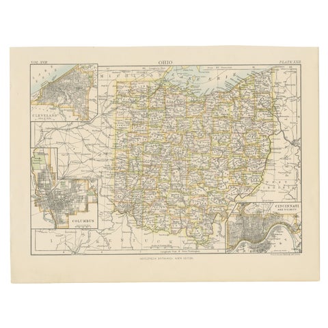
Antique Map of Ohio, with Inset Maps of Cleveland, Columbus and Cincinnati
1884
$325
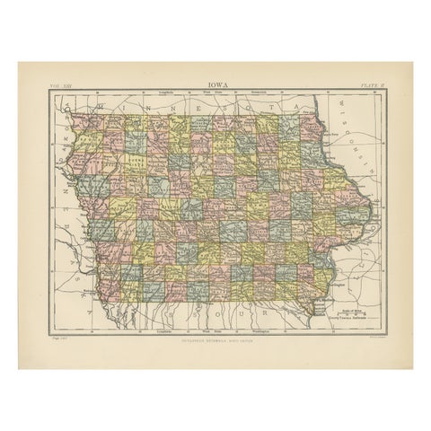
Original Antique Map of Iowa, Published in 1881
1881
$325
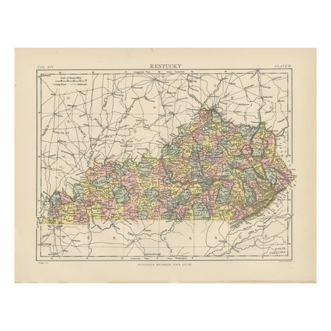
Antique Map of Kentucky
1882
$325
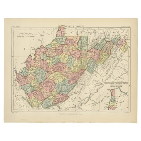
Antique Map of Virginia, with Inset Map of the Northern Part, 1888
1888
$325
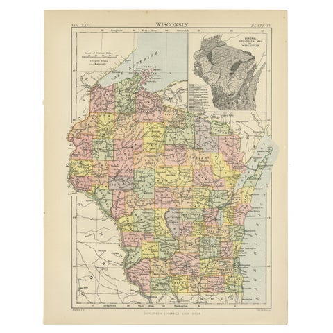
Antique Map of Wisconsin with Inset Geological Map of Wisconsin
$325
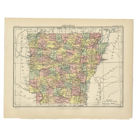
Antique Map of Arkansas from Encyclopaedia Britannica, 1875
1875
$325
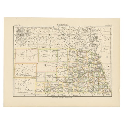
Antique Map of Nebraska
1884
$325
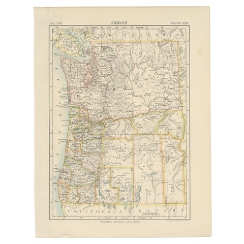
Antique Map of Oregon
1884
$325
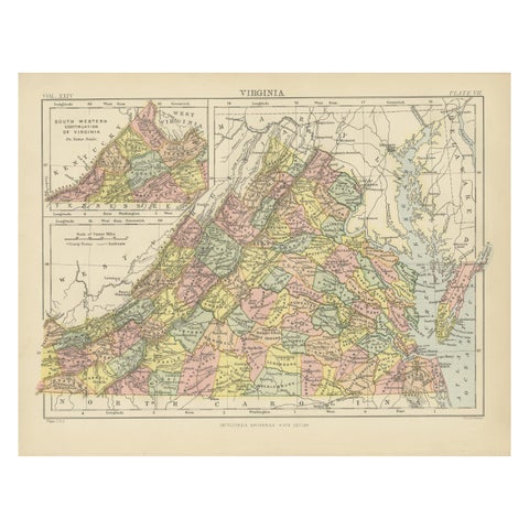
Antique Map of Virginia, with Inset Map of the South Western Continuation
1888
$325
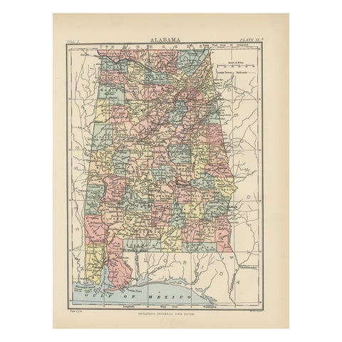
Antique Map of Alabama
1875
$325
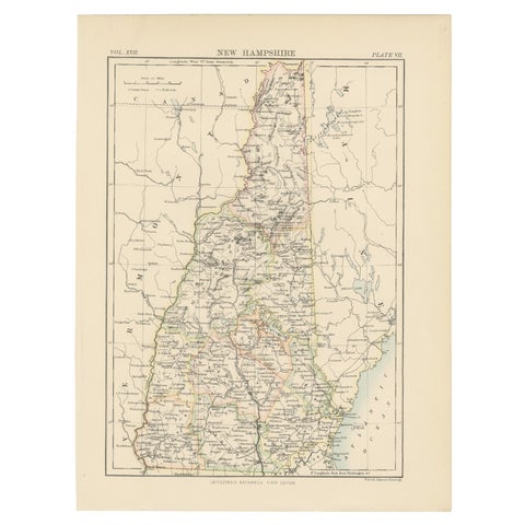
Antique Map of New Hampshire
1884
$325
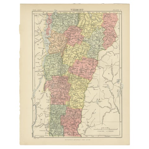
Antique Map of Vermont
1888
$325
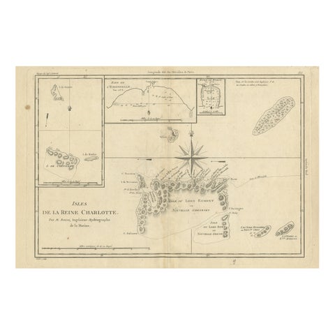
Antique Map of the Queen Charlotte Islands, Haida Gwaii
circa 1787 · Rigobert Bonne
$325
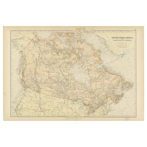
Antique Map of British North America, The Dominion of of Canada, 1882
1882
$325
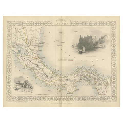
Crossroads of Empires: A John Tallis Map of the Isthmus of Panama, 1851
1851 · John Tallis
$325
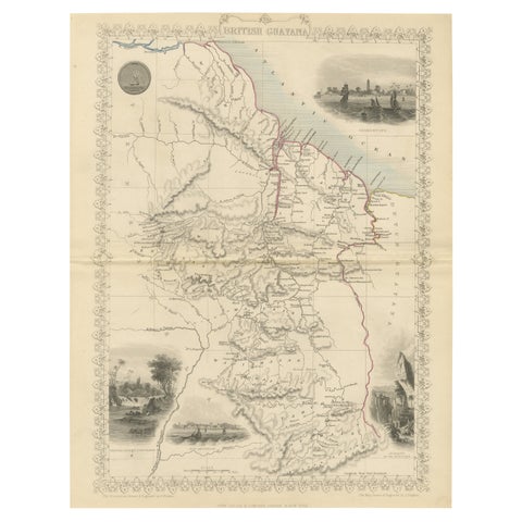
A Tallis Map of British Guiana with Colonial Vignettes and Other Landmarks, 1851
1851 · John Tallis
$325
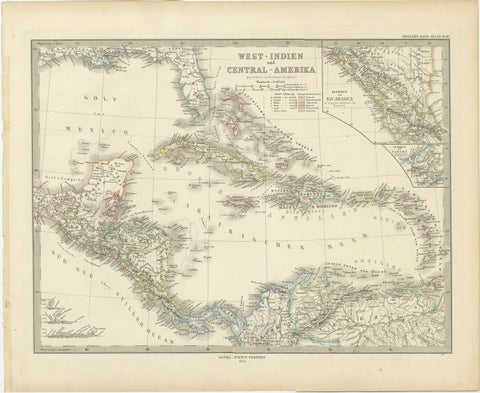
1880 Map of the Caribbean and Central America by Adolf Stieler
1880 · Stieler
$325
← PreviousPage 19 of 27Next →

Your favorites

Saved in this browser. Email the list to yourself to keep it on any device.

We use your email to send this list and, only if you tick the box and confirm, for occasional new arrivals. Every email has an unsubscribe link. Bartele Gallery, the Netherlands.

Your bag

Total

Each piece is bought on its own; shipping is added at checkout.