Search
★ 641 original pieces ★
Type a place, a mapmaker or a year in the search box above.
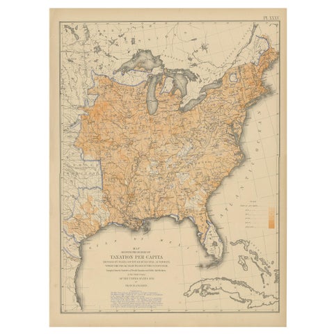
Pl. 35 Antique Chart of the US Taxation, 1874
1874
$560
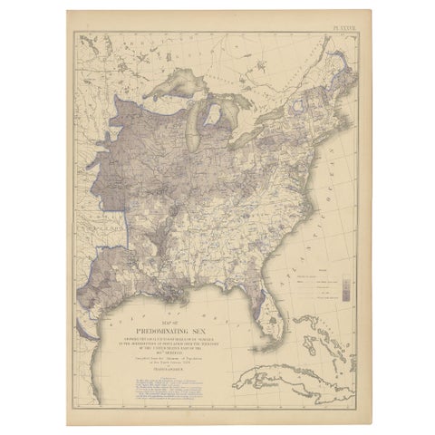
Antique Chart of the US Predominating Sex, 1874
1874
$560
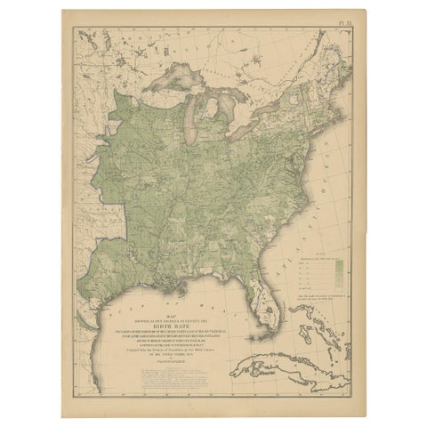
Pl. 40 Antique Chart of the US Birth Rate, 1874
1874
$560
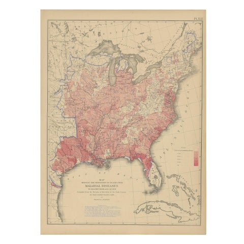
Antique Chart of the US Malarial Deaths, '1874'
1874
$560
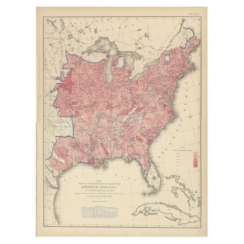
Pl. 45 Antique Chart of the US Inestinal Diseases Deaths, 1874
1874
$560
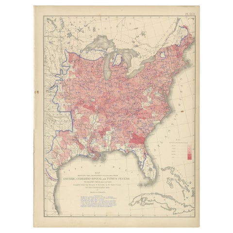
Antique Chart of the US Enteric, Cerebro-Spinal, Typhus Deaths, '1874'
1874
$560
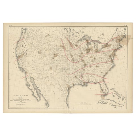
Pl. 9 Antique Map of the Air Movement of the United States by Walker '1874'
1874
$560
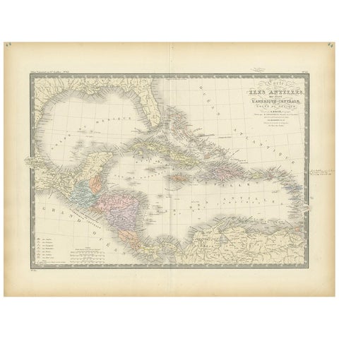
Antique Map of the Antilles in the Caribbean, '1875'
1875
$560
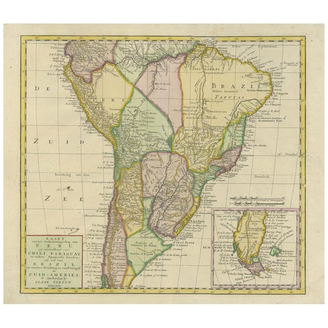
Antique Map of South America by Tirion 'circa 1765'
1765
$560
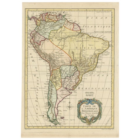
Antique Map of South America by De la Harpe '1780'
1780
$560
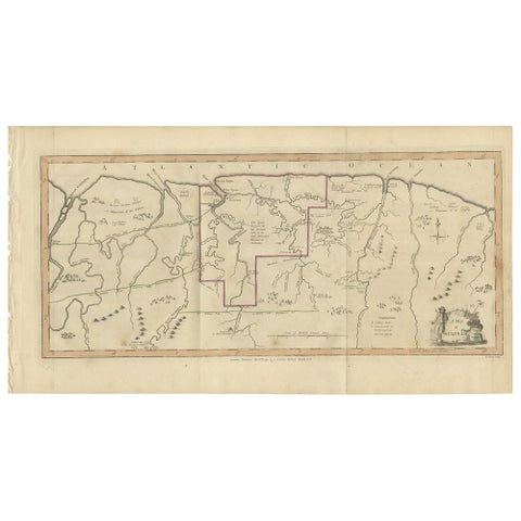
Antique Map of Surinam by Stedman '1813'
1813
$560
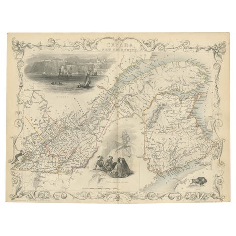
Antique Map of East Canada 'Quebec and New Brunswick' by Tallis 'c.1850'
1850 · John Tallis
$560
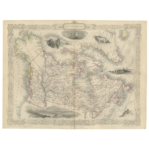
Antique Map of British America by Tallis 'c.1850'
1850 · John Tallis
$560
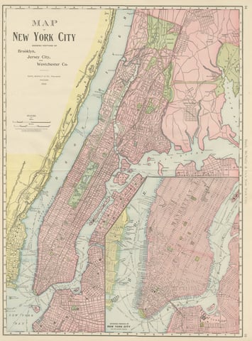
Antique Map of Manhattan, New York City, with Central Park, Rand McNally, 1899
1899 · Rand McNally
$555
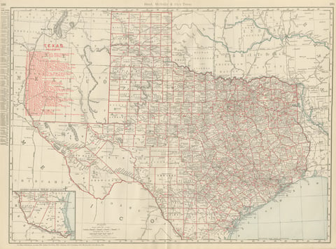
Antique Map of Texas, The Lone Star State, Rand McNally, 1899
1899 · Rand McNally
$555
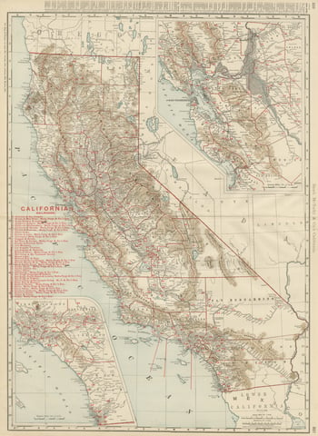
Antique Map of California, The Golden State, Rand McNally, 1899
1899 · Rand McNally
$555
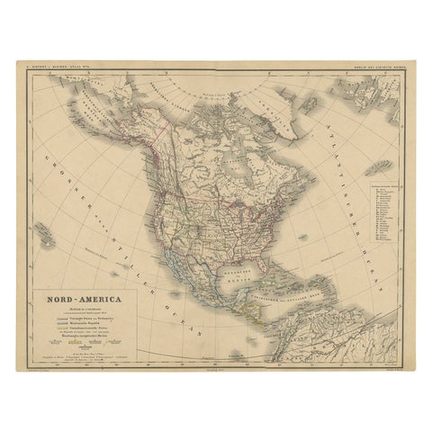
Old Original Antique German Map of North America, ca.1870
1870
$550
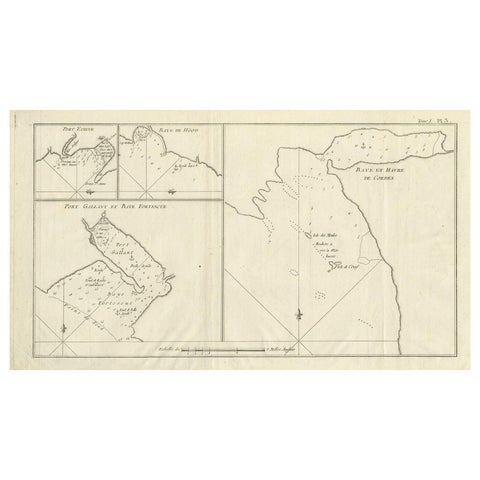
Antique Map of Cordes Bay, Port Famine & Fortescue Bay – Patagonia, 1774
1774
$550
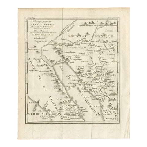
Old Map of the Overland Route to California – Early Exploration Pathways, 1701
1701
$550
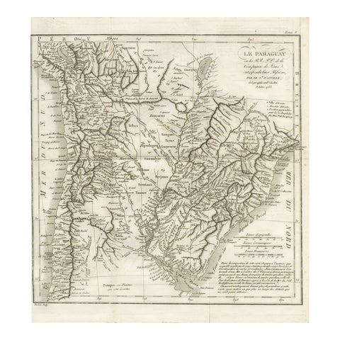
Antique Map of Paraguay and Jesuit Missions by D’Anville, 1733
1733
$550
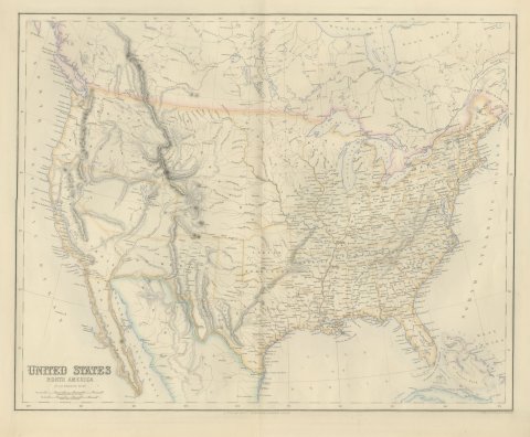
Antique Map of the United States with Oregon Territory, circa 1860
circa 1860
$545
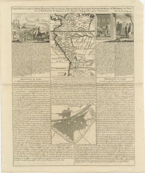
Original Antique Map of Peru and Plan of Lima by Henri Abraham Chatelain, 1719
1719 · Chatelain
$545
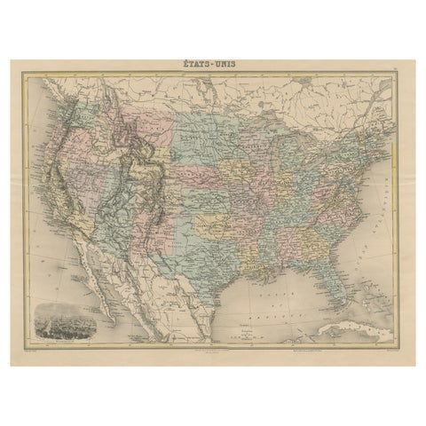
Antique Map of the United States with Vignette of Washington
circa 1875
$535
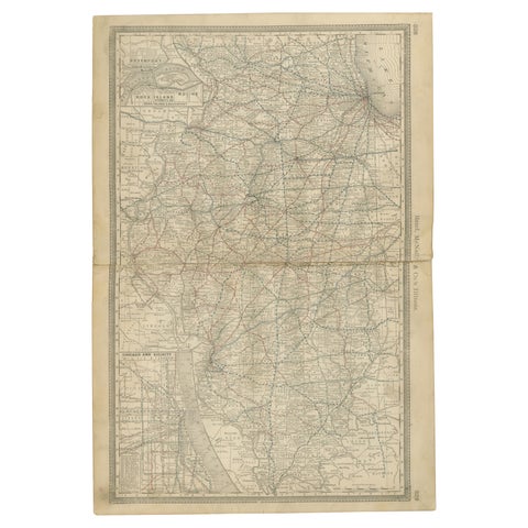
Detailed Antique Map of Illinois – Railroads, Cities & Counties, 1888
1888 · Rand McNally
$535