A Bartele Gallery CollectionLangweer · Jakarta

American Maps & Prints
Original antique maps, charts & prints of the Americas ★ Originals only


Published in

1860

★ 19 original pieces ★
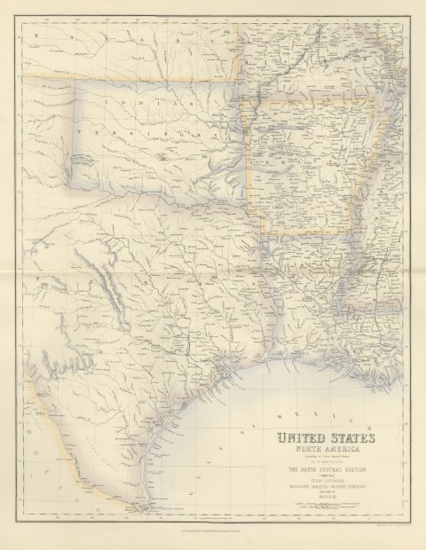
Antique Map of Texas and Louisiana with Indian Territory, circa 1860
circa 1860
$700

Antique Map of the West Coast of South America with Costume Figures, circa 1860
circa 1860
$610
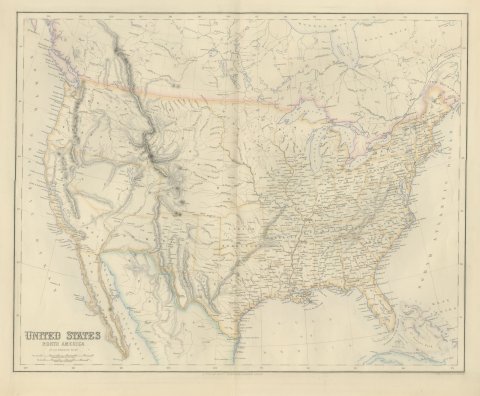
Antique Map of the United States with Oregon Territory, circa 1860
circa 1860
$545
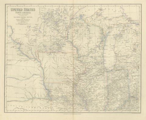
Antique Map of the North Central United States and Lake Michigan, circa 1860
circa 1860
$520
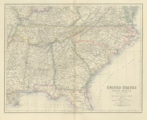
Antique Map of the South Eastern United States with Cape Hatteras, circa 1860
circa 1860
$520
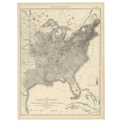
Pl. 17A Antique Chart of the US Population 1860 by Walker, '1874'
1860
$505
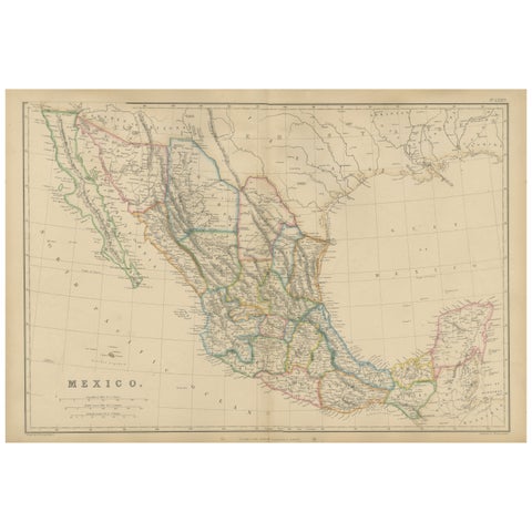
Mexico, Antique Map, Central America and Gulf of Mexico, Blackie Atlas 1860
1860
$430
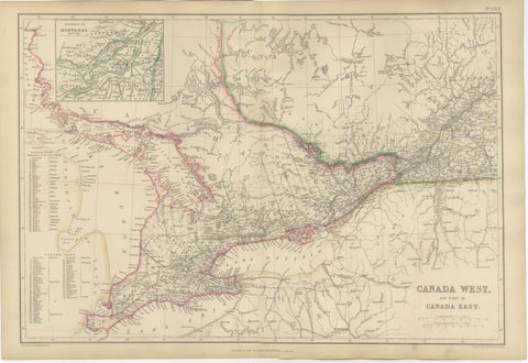
Antique Map of Canada West and Part of Canada East, Ontario & Quebec, 1860
1860
$415
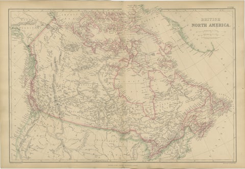
Antique Map of British North America, Canada and Hudson Bay, 1860
1860
$415
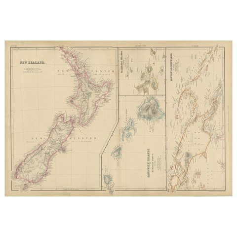
New Zealand, Antique Map, Pacific Islands, Sandwich Islands, Blackie Atlas 1860
1860
$405
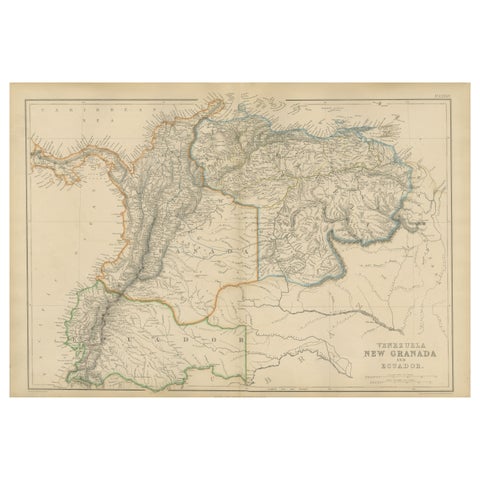
Venezuela, New Granada and Ecuador, Antique Map, Northern South America, 1860
1860
$380
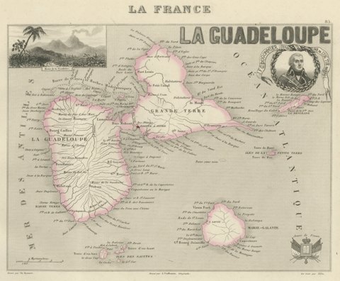
Antique Map of Guadeloupe, Marie-Galante and the Saintes, circa 1860
circa 1860
$360
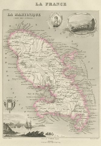
Antique Map of Martinique, Fort-Royal and the Caravelle, circa 1860
circa 1860
$360

Antique Map of the Brazilian Coast with Rio de Janeiro Province, circa 1860
circa 1860
$325
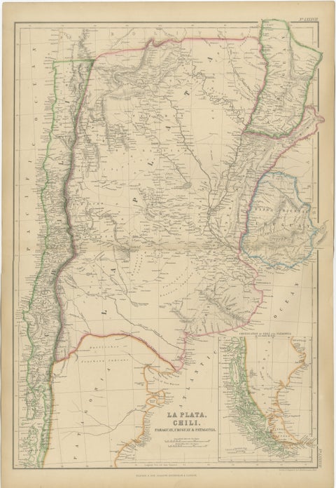
Antique Map of La Plata, Chile, Paraguay, Uruguay and Patagonia, 1860
1860
$325
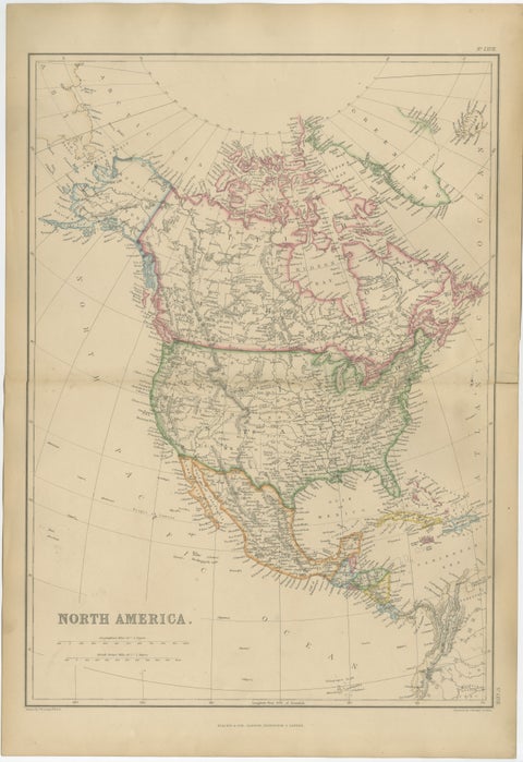
Antique Map of North America, Canada, United States and Mexico, 1860
1860
$325
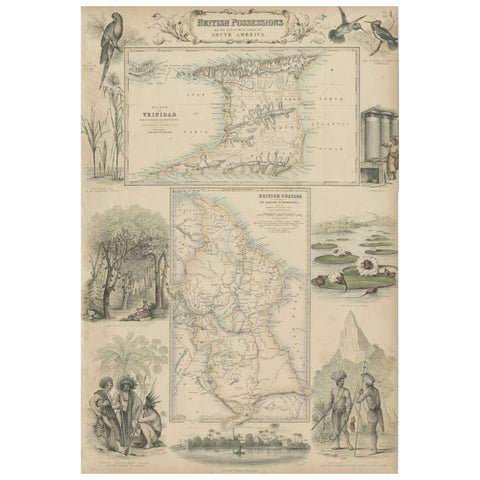
British Possessions on the North West Coast of South America, 1860
1860 · A. Fullarton
$320
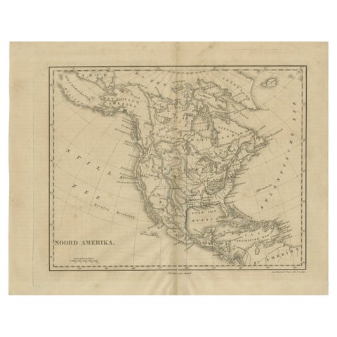
Antique Map of North America by Laarman, c.1860
1860
$295
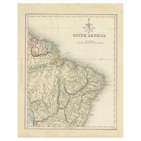
Antique Map of Part of South America by Archer, C.1860
1860
$105

Your favorites

Saved in this browser. Email the list to yourself to keep it on any device.

We use your email to send this list and, only if you tick the box and confirm, for occasional new arrivals. Every email has an unsubscribe link. Bartele Gallery, the Netherlands.

Your bag

Total

Each piece is bought on its own; shipping is added at checkout.