Original antique maps & prints of
Missouri
★ 7 original pieces ★
Admitted in 1821, Missouri and its river were the gateway to the West, with St. Louis as the starting point for overland routes. We currently hold 7 original sheets of Missouri, published between 1850 and 1899. Of these, 7 are maps and 5 are views and prints. The earliest is St Joseph Missouri Antique Print, River Town View, Steamboat c.1850.

Antique Map of the Coal Fields of the United States by Walker '1874'
1874
$760
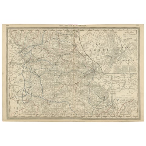
Antique Map of Missouri – The Show-Me State with St. Louis Inset, 1888
1888 · Rand McNally
$515
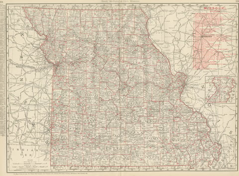
Antique Map of Missouri, The Show-Me State, Rand McNally, 1899
1899 · Rand McNally
$440
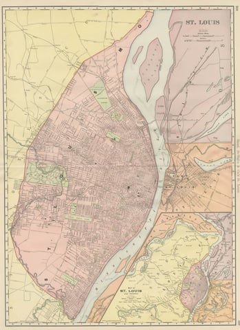
Antique Map of St. Louis, with Forest Park, Rand McNally, 1899
1899 · Rand McNally
$440
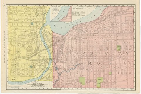
Antique Map of Kansas City, at the Kaw River Confluence, Rand McNally, 1899
1899 · Rand McNally
$330
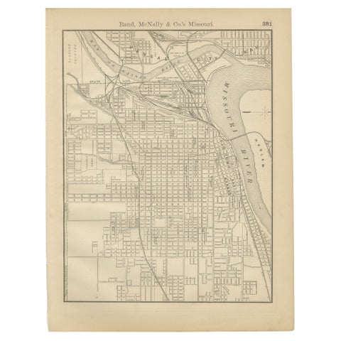
Antique Kansas City Map Wall Art – Missouri–Kansas Border, Rand McNally, ca.1888
1888 · Rand McNally
$225
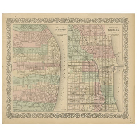
Antique Map of St. Louis and Chicago
1855 · J. H. Colton
$170
★
More of The Midwest