Original antique
Maps
★ 638 original pieces ★
Original antique maps, each removed from the atlas or book it was published in, or issued as a separate sheet. Never reproductions.
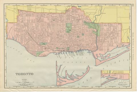
Antique Map of Toronto, with Queen's Park, Rand McNally, 1899
1899 · Rand McNally
$330

Antique Map of South America, with the Amazon Basin, Rand McNally, 1899
1899 · Rand McNally
$330
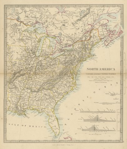
Antique Map of Canada and the United States with Canal Profiles, 1858
1858
$325

Antique Map of the Brazilian Coast with Rio de Janeiro Province, circa 1860
circa 1860
$325
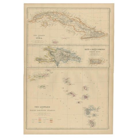
Cuba, Hayti, Santo Domingo and Leeward Islands, Antique Caribbean Map, 1859
1859
$325
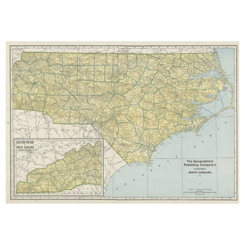
Colorful Old Detailed Map of Northern Carolina, United States of America
1931
$325
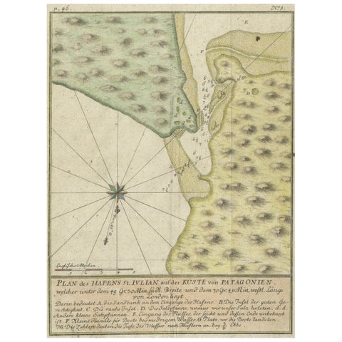
Antique Plan of Plan of St. Julian's Harbour on the Coast of Patagonia
1763
$325
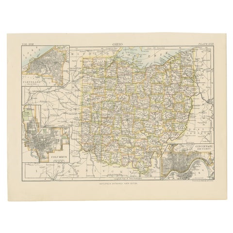
Antique Map of Ohio, with Inset Maps of Cleveland, Columbus and Cincinnati
1884
$325
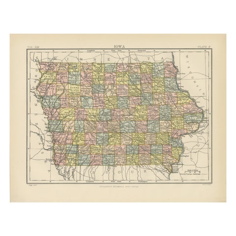
Original Antique Map of Iowa, Published in 1881
1881
$325
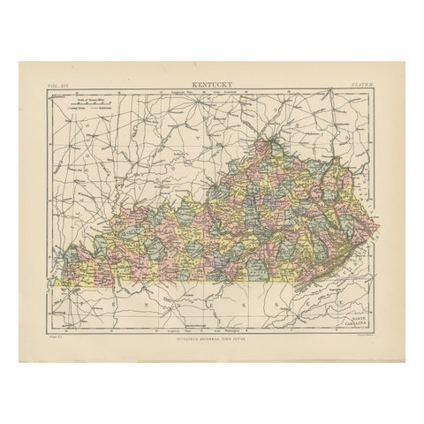
Antique Map of Kentucky
1882
$325
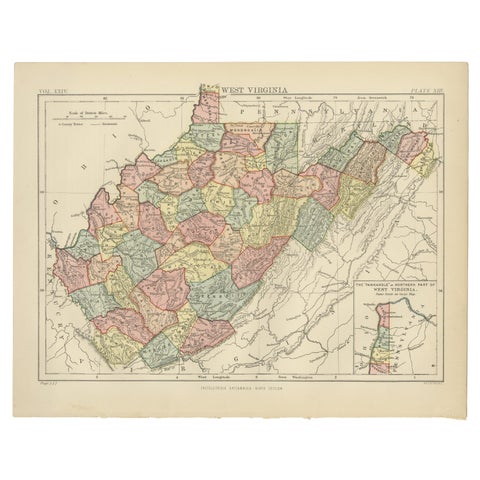
Antique Map of Virginia, with Inset Map of the Northern Part, 1888
1888
$325
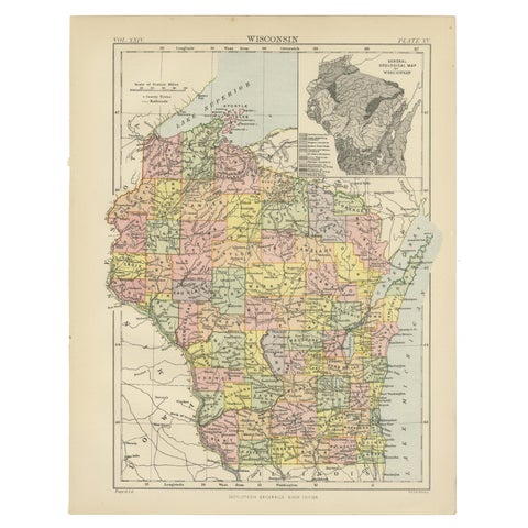
Antique Map of Wisconsin with Inset Geological Map of Wisconsin
$325
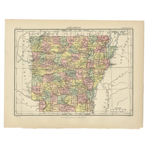
Antique Map of Arkansas from Encyclopaedia Britannica, 1875
1875
$325
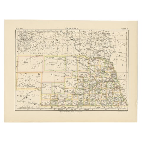
Antique Map of Nebraska
1884
$325
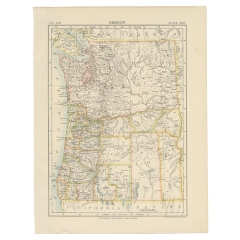
Antique Map of Oregon
1884
$325
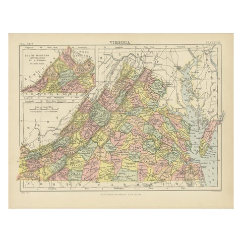
Antique Map of Virginia, with Inset Map of the South Western Continuation
1888
$325
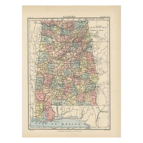
Antique Map of Alabama
1875
$325
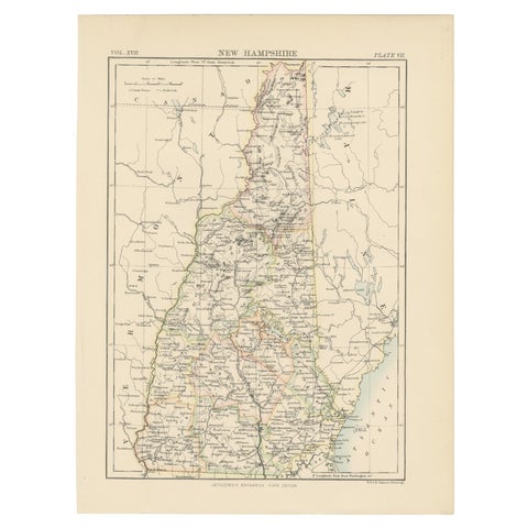
Antique Map of New Hampshire
1884
$325
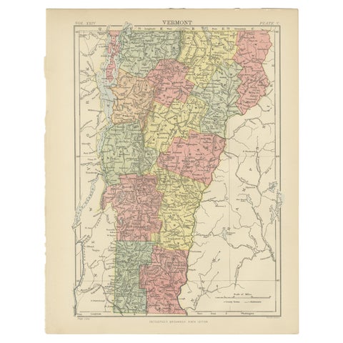
Antique Map of Vermont
1888
$325
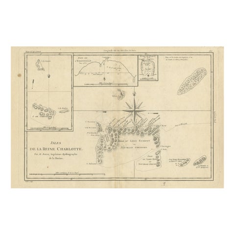
Antique Map of the Queen Charlotte Islands, Haida Gwaii
circa 1787 · Rigobert Bonne
$325
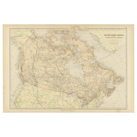
Antique Map of British North America, The Dominion of of Canada, 1882
1882
$325
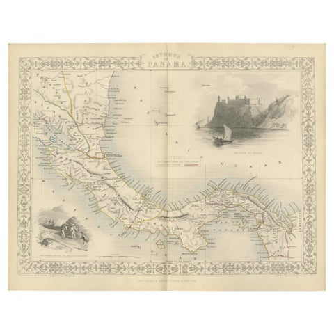
Crossroads of Empires: A John Tallis Map of the Isthmus of Panama, 1851
1851 · John Tallis
$325
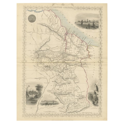
A Tallis Map of British Guiana with Colonial Vignettes and Other Landmarks, 1851
1851 · John Tallis
$325
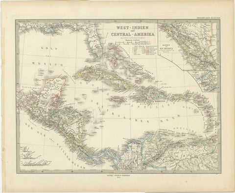
1880 Map of the Caribbean and Central America by Adolf Stieler
1880 · Stieler
$325