Original antique maps & prints of
Canada & the North
★ 102 original pieces ★
New France, Acadia, Hudson's Bay and the British North American provinces: original maps and views of Canada and the Arctic, from the French and Dutch mapmakers to the Victorian atlases.
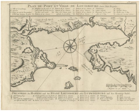
Plan of Louisbourg Harbor and Fortress, Cape Breton Island, c.1756
1756 · Jacques-Nicolas Bellin
$440
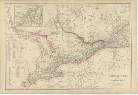
Antique Map of Canada West and Part of Canada East, Ontario & Quebec, 1860
1860
$415
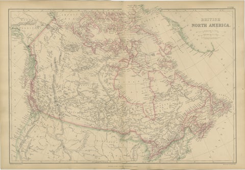
Antique Map of British North America, Canada and Hudson Bay, 1860
1860
$415
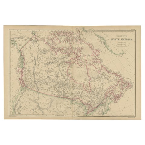
British North America, Antique Map of Canada and Arctic Regions, Blackie, 1859
1859
$405
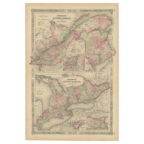
Historic 1864 Civil War Era Map of Canada with Great Lakes Detail
1864
$405
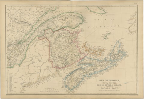
Antique Map of New Brunswick, Nova Scotia, Prince Edward Island and Canada East
$405
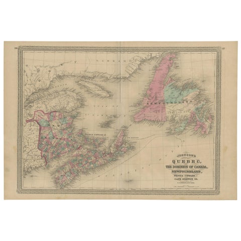
Antique Map of New Brunswick, Nova Scotia and Surroundings by Johnson, 1872
1872 · A. J. Johnson
$390
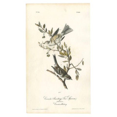
Antique Bird Print of the Canada Bunting by Audubon, c.1840
1840 · John James Audubon
$390
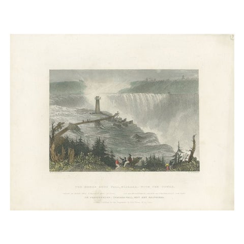
Antique Print of the Horseshoe Falls by Brandard, c.1840
1840
$390
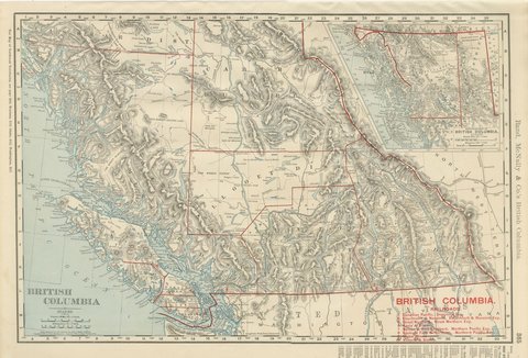
Antique Map of British Columbia, with Queen Charlotte Islands, 1899
1899 · Rand McNally
$385
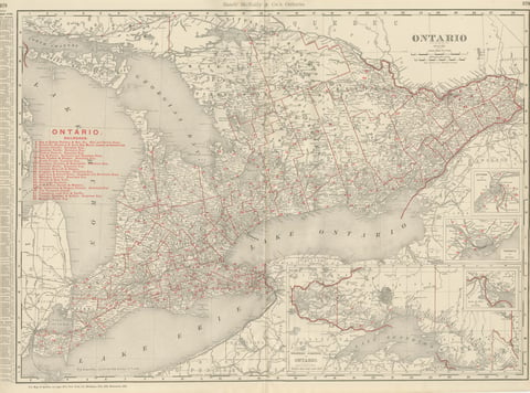
Antique Map of Ontario, with Toronto and Ottawa Insets, Rand McNally, 1899
1899 · Rand McNally
$385
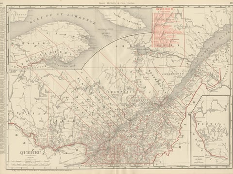
Antique Map of Quebec, with Gaspé Inset, Rand McNally, 1899
1899 · Rand McNally
$385
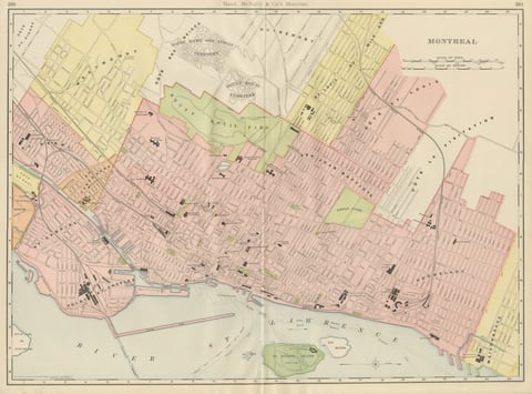
Antique Map of Montreal, with Mount Royal Park, Rand McNally, 1899
1899 · Rand McNally
$385
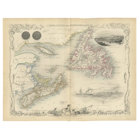
A Decorative Map of Nova Scotia and Newfoundland by John Tallis, 1851
1851 · John Tallis
$380
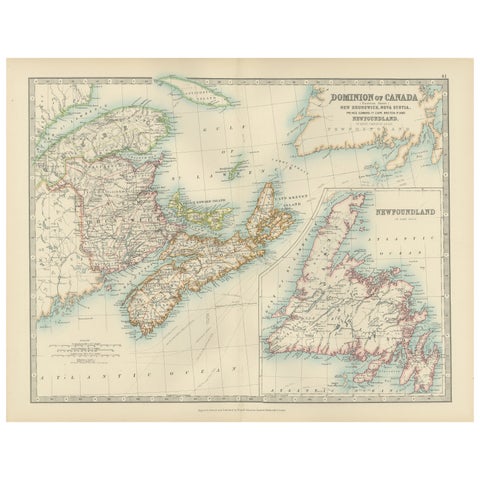
Canada Dominion Map 1903 - A Detailed View of Eastern Canada and Newfoundland
1903 · W. & A. K. Johnston
$380
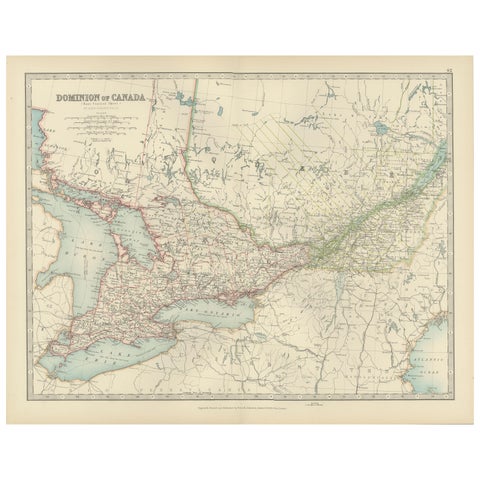
Canada Map 1903 - East Central Dominion - Ontario, Quebec & More
1903 · W. & A. K. Johnston
$380
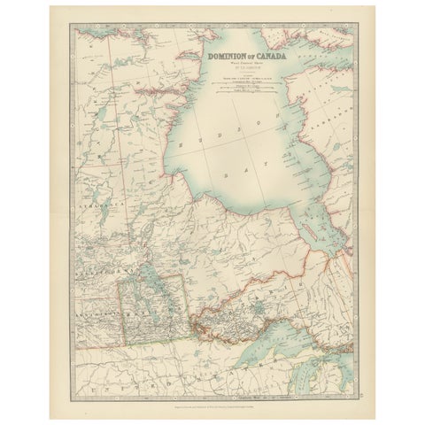
Canada Map 1903 - Dominion of Canada, West Central Sheet
1903 · W. & A. K. Johnston
$380
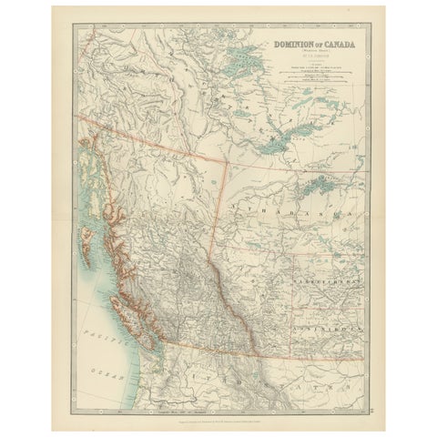
Canada’s West – 1903 Engraved Map by Johnston – Unique and Historic
1903 · W. & A. K. Johnston
$380
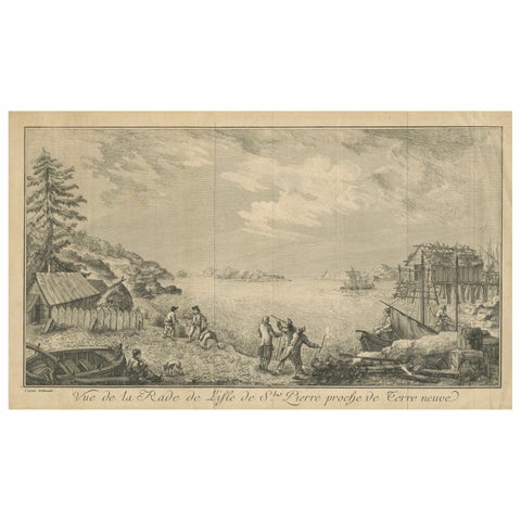
View of the Harbor of St Pierre, Newfoundland – Early French Coastal Engraving
$380
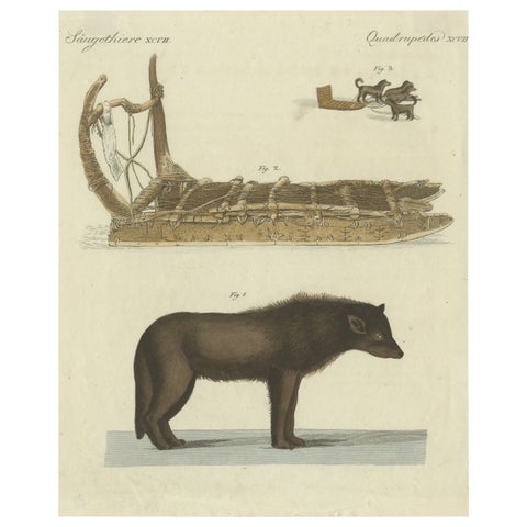
Antique Print of a Dog from Baffin Bay Greenland and a Dog Sled, ca.1800
1800
$370
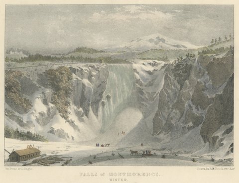
Montmorenci Falls, Canadian Winter Scene, Lithograph after Bouchette, circa 1832
circa 1832
$360
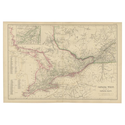
Canada West and Part of Canada East, Antique Map, Great Lakes Region, 1859
1859
$360
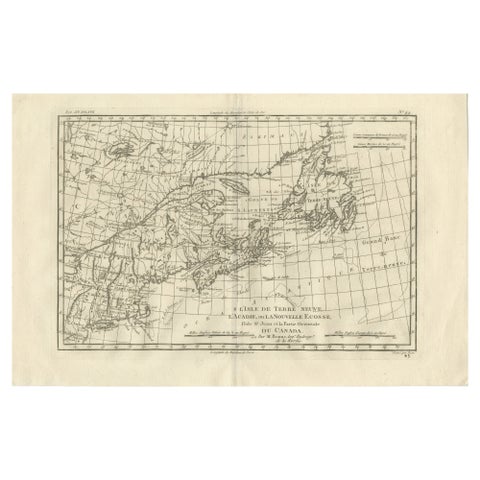
Antique Map of Canada, Newfoundland & Acadia, Gulf of St Lawrence, Bonne c.1780
1780 · Rigobert Bonne
$355
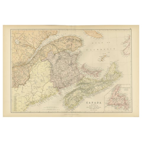
Antique Map of Eastern Canada, Blackie Atlas, 1882, Detailed Geography
1882
$335