Original antique maps & prints of
Canada & the North
★ 102 original pieces ★
New France, Acadia, Hudson's Bay and the British North American provinces: original maps and views of Canada and the Arctic, from the French and Dutch mapmakers to the Victorian atlases.
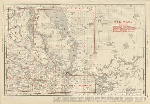
Antique Map of Manitoba, with Lake Winnipeg, Rand McNally, 1899
1899 · Rand McNally
$330
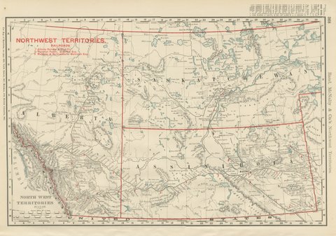
Antique Map of the North West Territories, Before Alberta and Saskatchewan, 1899
1899 · Rand McNally
$330
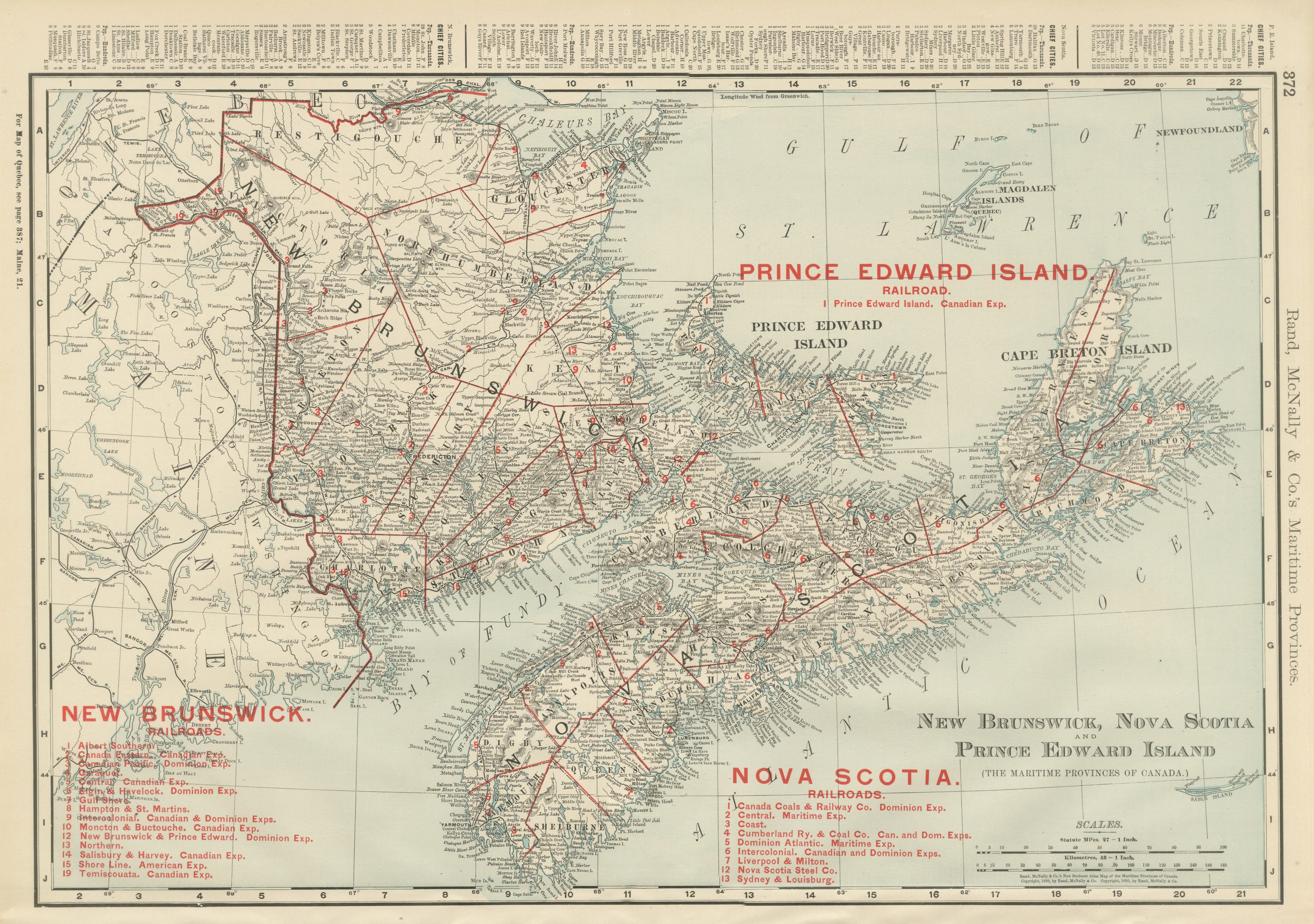
Antique Maritimes Map, New Brunswick, Nova Scotia and Prince Edward Island, 1899
1899 · Rand McNally
$330
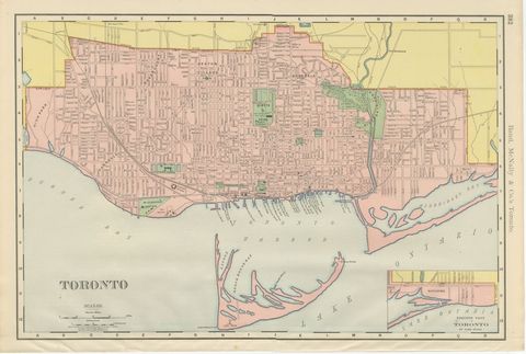
Antique Map of Toronto, with Queen's Park, Rand McNally, 1899
1899 · Rand McNally
$330
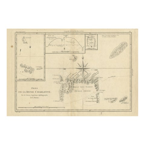
Antique Map of the Queen Charlotte Islands, Haida Gwaii
circa 1787 · Rigobert Bonne
$325
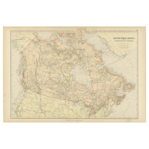
Antique Map of British North America, The Dominion of of Canada, 1882
1882
$325
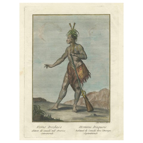
Iroquois Warrior: 1783 Engraving by Teodoro Viero of a Native of Northern Canada
1783
$325
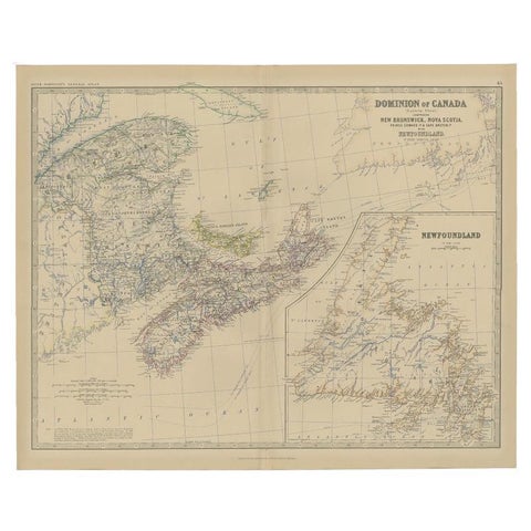
Antique Map of Eastern Canada with an inset Map of Newfoundland, 1882
1882 · W. & A. K. Johnston
$315
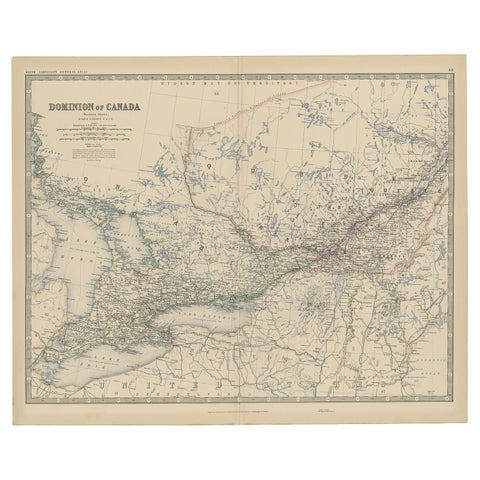
Old Original Antique Map of Western Canada, 1882
1882 · W. & A. K. Johnston
$315
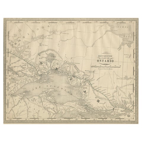
Antique Ontario Map Wall Art – Lake Superior & Northern Ontario, ca.1888
1888 · Rand McNally
$315
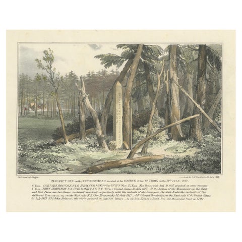
Boundary Marker at St. Croix River Source, 1817 – A Historic Diplomatic Monument
1817
$300
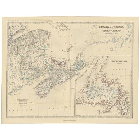
Antique Map of the Province of Canada 'East' by A.K. Johnston, 1865
1865 · W. & A. K. Johnston
$290
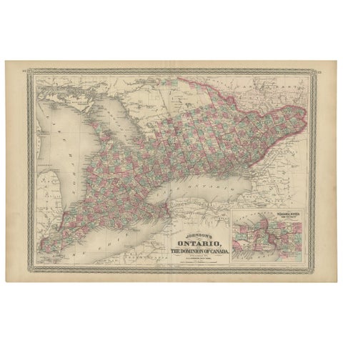
Antique Map of Ontario with an Inset Map of the Niagara River by Johnson, 1872
1872 · A. J. Johnson
$280
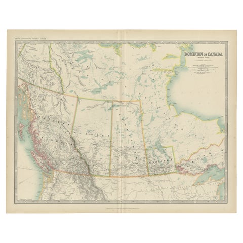
Antique Map of Canada by Johnston '1909'
1909 · W. & A. K. Johnston
$280
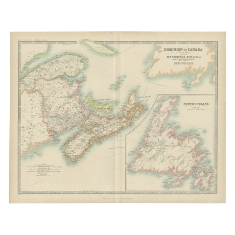
Antique Map of Canada by Johnston '1909'
1909 · W. & A. K. Johnston
$280
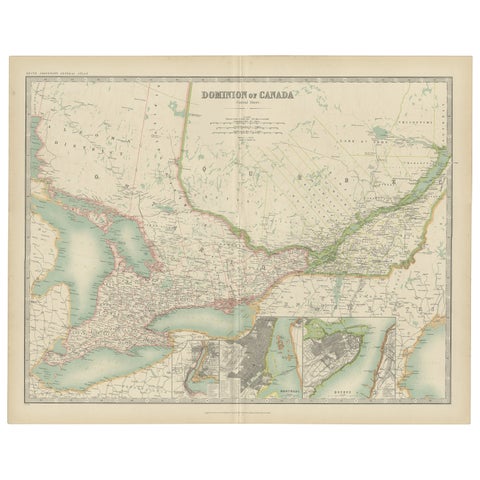
Antique Map of Canada by Johnston '1909'
1909 · W. & A. K. Johnston
$280
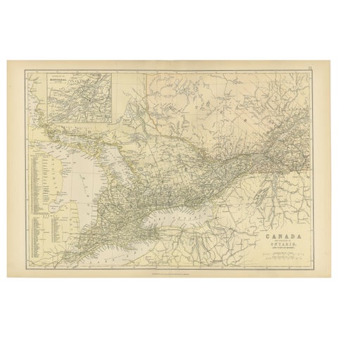
Antique Map of Canada, The Province of Ontario and Part of Quebec, 1882
1882
$280
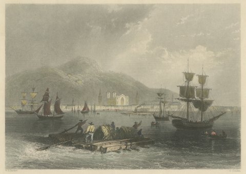
Montreal, Canadian Scenery, after W. H. Bartlett, Antique Engraving, circa 1842
circa 1842
$270
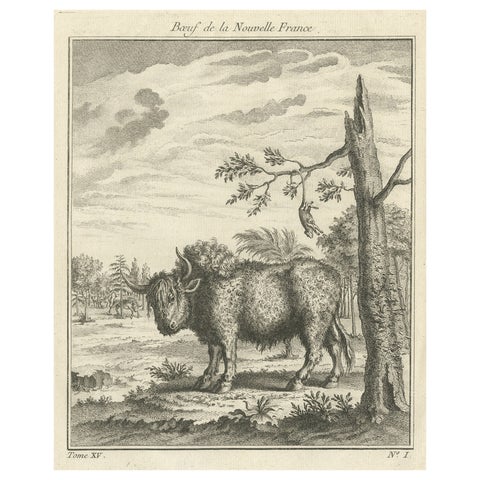
Old Print of a Bull or Bison from the French North America, Canada, Ca.1760
1760
$270
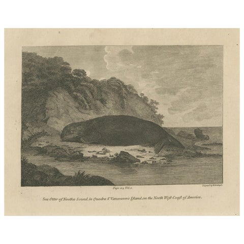
Antique Print of a Sea Otter of Nootka Sound in British Columbia, Canada, 1801
1801 · Captain Cook voyages
$270
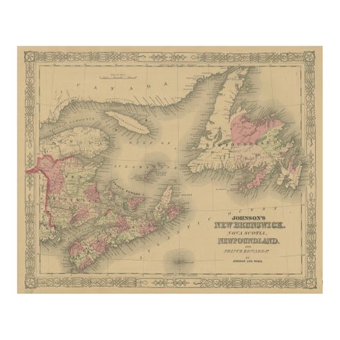
Johnson’s New Brunswick Nova Scotia Newfoundland Map, USA c.1864
1864
$245
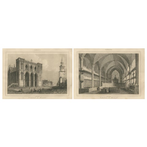
Exterior and Interior Views of Montreal Cathedral – Canadian Architecture, c1850
circa 1850
$245
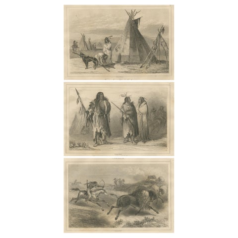
Plains Indigenous Life and Buffalo Hunt – Set of 19th Century Canadian Engraving
circa 1850
$245
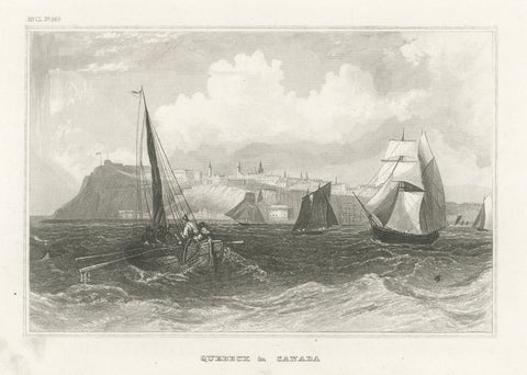
Quebec City Canada Harbor View – Antique Steel Engraving St. Lawrence River 1854
1854 · Meyer
$245