Original antique maps & prints of
Canada & the North
★ 102 original pieces ★
New France, Acadia, Hudson's Bay and the British North American provinces: original maps and views of Canada and the Arctic, from the French and Dutch mapmakers to the Victorian atlases.
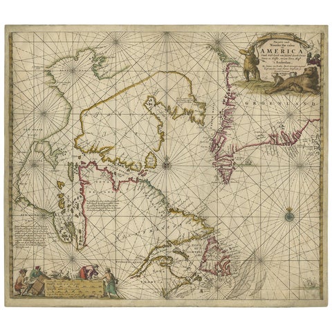
Antique Sea Chart of Hudson Bay and Arctic Canada by Van Keulen, circa 1681
1681 · Van Keulen
$5,315
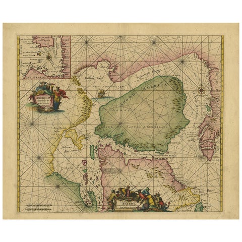
Greenland & North America – Antique Sea Chart by Frederick de Wit, 1745
1745 · Frederick de Wit
$3,920
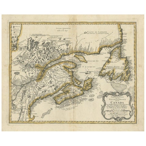
Antique Map of New England and Eastern Canada by Homann Heirs, circa 1755
1755 · Homann Heirs
$2,240
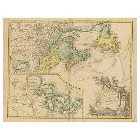
Antique Map of New England and Part of Canada by Vaugondy 'circa 1755'
1755 · Robert de Vaugondy
$1,960
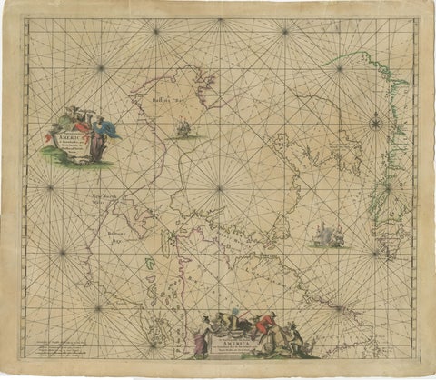
1690 Frederick de Wit Sea Chart of Hudson Bay, Baffin Bay and Greenland
1690 · Frederick de Wit
$1,500
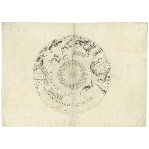
Greenland & the North Pole – Antique Polar Map by V.M. Coronelli, c.1692
1692
$1,445
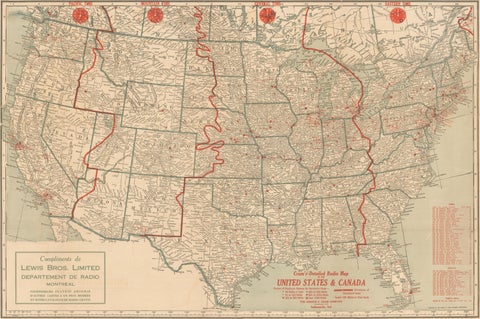
1930s AM Radio Map of US, Canada, Cuba, Mexico – Stations & Frequencies
$1,110
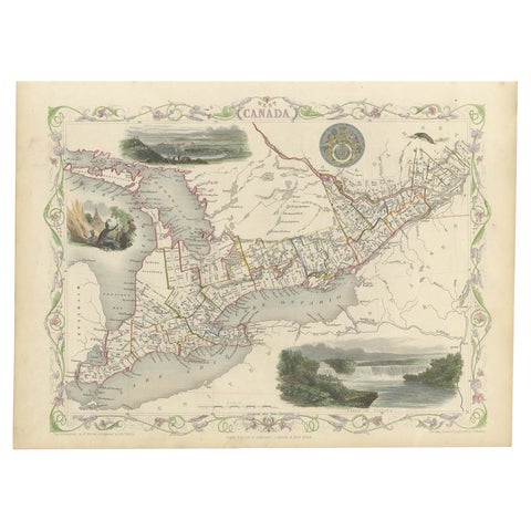
Beautiful Decorative Hand-Colored Antique Map of West Canada, 1851
1851 · John Tallis
$1,065
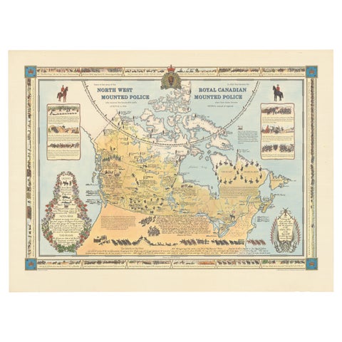
The History of the Royal Canadian Mounted Police, Published in 1966
1966
$1,005
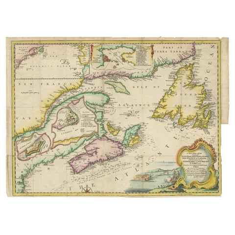
Antique Map Dedicated to British Merchants Trading to North America, ca.1746
1746 · Jacques-Nicolas Bellin
$950
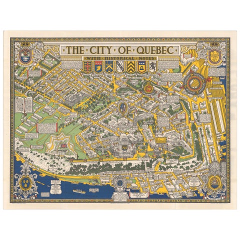
Quebec City Pictorial Map, The City of Quebec with Historical Notes, 1932
1932
$765
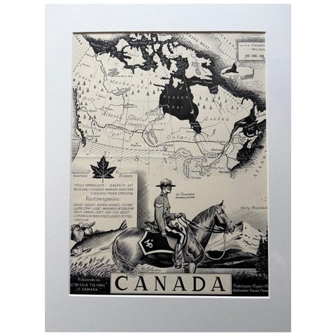
Original 1948 Map of Canada by Charles Burki – Art Deco Mountie Illustration
1948
$650
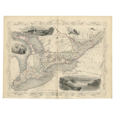
Antique Map of West Canada by Tallis 'c.1850'
1850 · John Tallis
$615
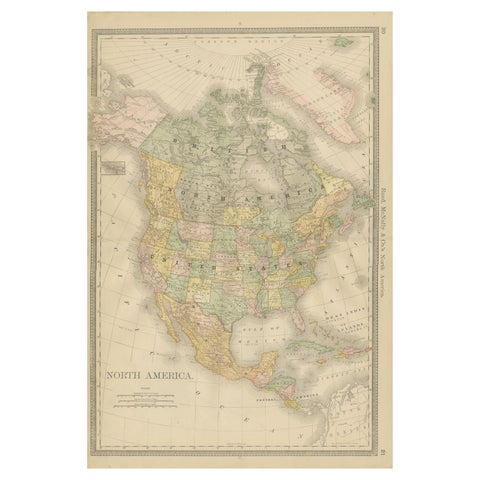
North America Antique Railroad Map c.1888 – U.S., Canada & Mexico
1888 · Rand McNally
$605
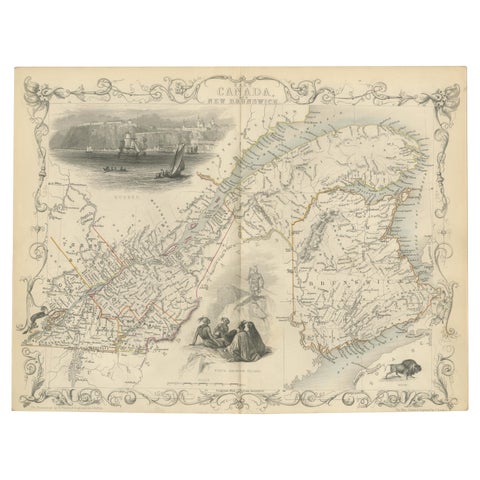
Antique Map of East Canada 'Quebec and New Brunswick' by Tallis 'c.1850'
1850 · John Tallis
$560
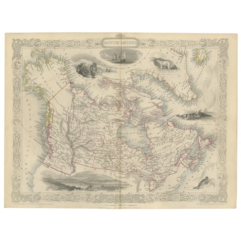
Antique Map of British America by Tallis 'c.1850'
1850 · John Tallis
$560
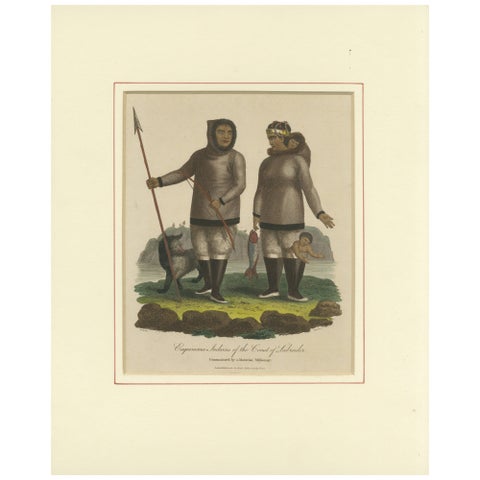
Inuit Eskimo Life: An 1812 Moravian Missionary's Account from the Labrador Coast
1812
$550
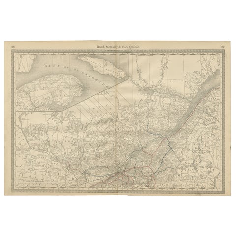
Quebec Antique Railroad Map c.1888 – La Belle Province, Cities & Towns
1888 · Rand McNally
$515
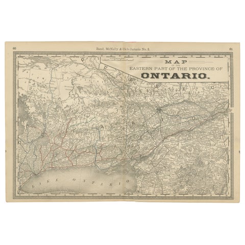
Eastern Ontario Antique Map c.1888 – The Heartland Province, Railroads
1888 · Rand McNally
$515
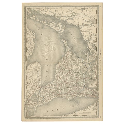
Ontario Antique Map c.1888 – Western Counties, Heartland Province Railroads
1888 · Rand McNally
$515
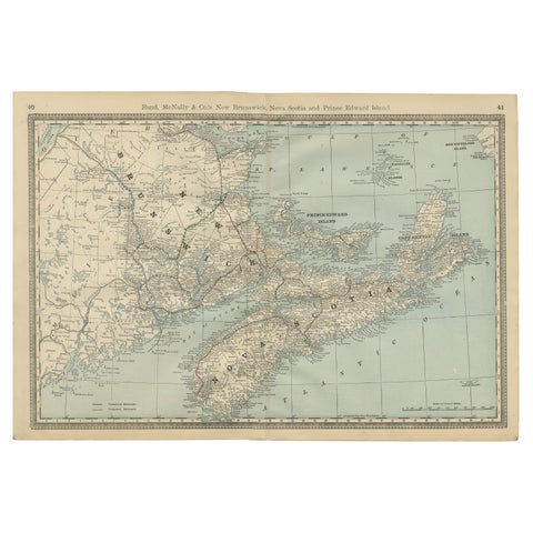
Nova Scotia, New Brunswick & Prince Edward Island Antique Map c.1888
1888 · Rand McNally
$515
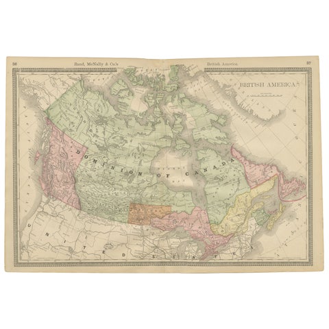
Canada Antique Railroad Map c.1888 – British America, Cities & Regions
1888 · Rand McNally
$515
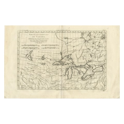
Great Lakes Antique Map, Canada, Midwest USA, Enlightenment Era, Bonne c.1780
1780 · Rigobert Bonne
$480
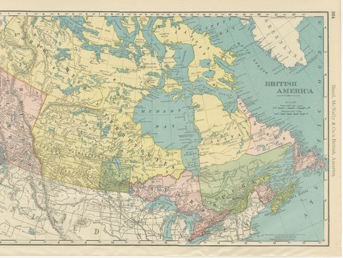
Antique Map of British America, with Hudson Bay, Rand McNally, 1899
1899 · Rand McNally
$440
Page 1 of 5Next →