Original antique maps & prints of
The Lesser Antilles
★ 31 original pieces ★
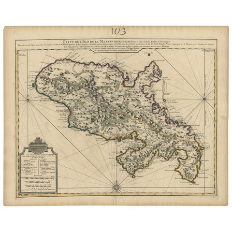
Antique Map of Martinique, Showing Roads, Houses, Sugar Plantations, etc. c.1750
1750 · Sanson
$1,680
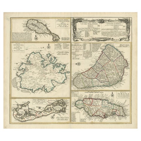
Original Old Map of St Kitts, Antigua, Bermuda, Barbados, and Jamaica, ca.1745
1745 · Homann Heirs
$1,625
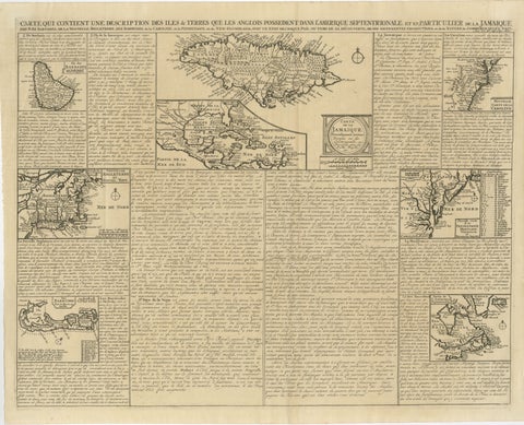
Rare French Colonial America Map, Jamaica Barbados Carolina, c.1719
1719
$1,450
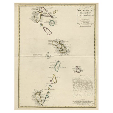
Detailed Antique Map of the Windward Islands in the Caribbean
circa 1722
$1,050
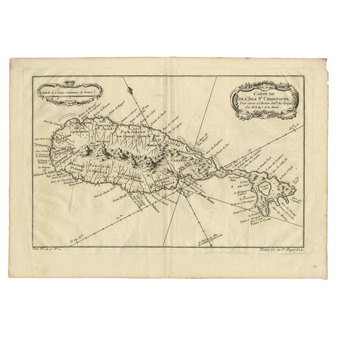
Antique Map of the Caribbean Island of St Kitts, ca.1750
1750 · Guillaume Delisle
$805
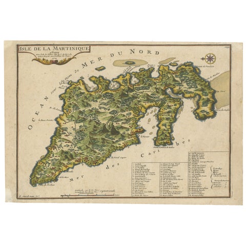
L'isle De La Martinique Caribbean Copper Engraving Original Handcoloring, 1704
1704
$695
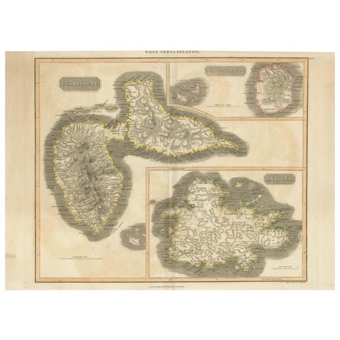
1821 Thomson Map of Guadeloupe, Marie-Galante and Antigua in the West Indies
1821 · John Thomson
$650
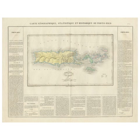
1825 Buchon Map of Puerto Rico & Virgin Islands with Detailed Colonial History
1825
$515
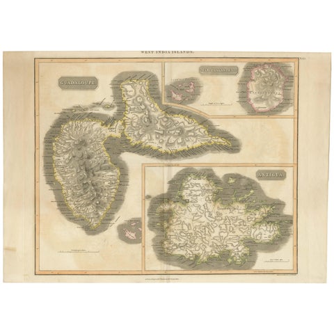
Large Antique Map of Guadeloupe and Antigua with Adjacent Isles, 19th Century
circa 1817 · John Thomson
$490
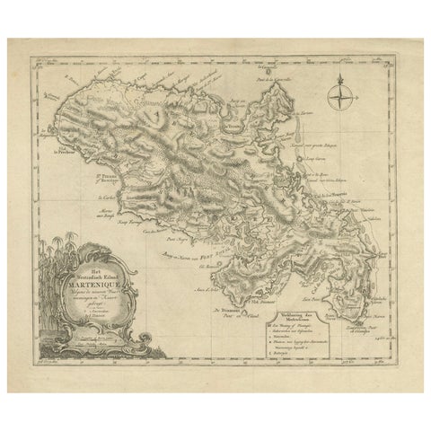
18th Century Original Dutch Map of Martinique in The West Indies by Isaak Tirion
$490
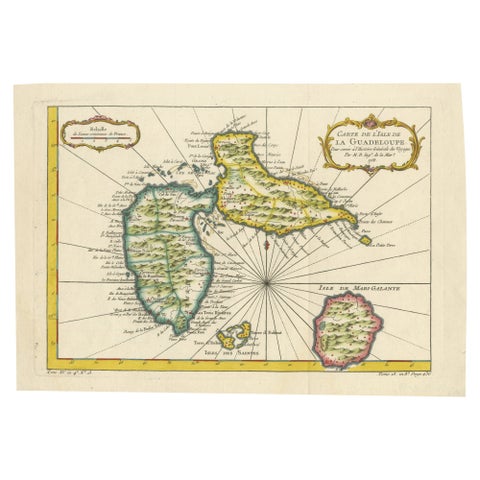
1758 Bellin Map of Guadeloupe and Marie-Galante – Caribbean Islands
1758 · Jacques-Nicolas Bellin
$490
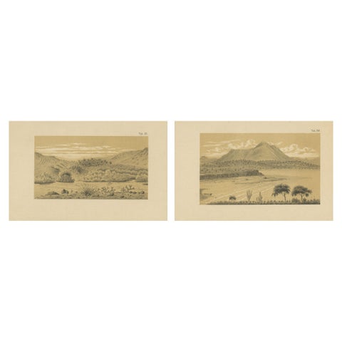
Aruba Landscape & Mountain Views - Dutch West Indies by Karl Martin, 1888
1888
$490
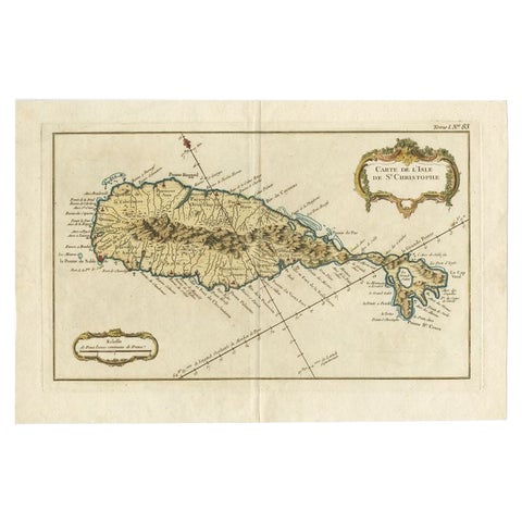
Old Map of the island of Saint Christopher or St. Kitts in the Caribbean, c.1765
1765 · Guillaume Delisle
$480
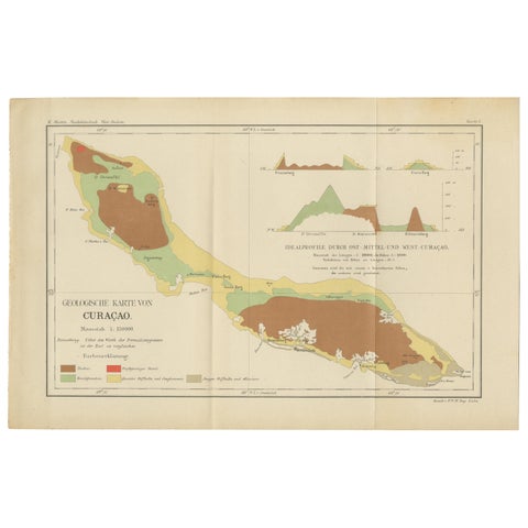
Antique Geological Map of Curaçao - Hand Colored Dutch Caribbean, 1888
1888
$435
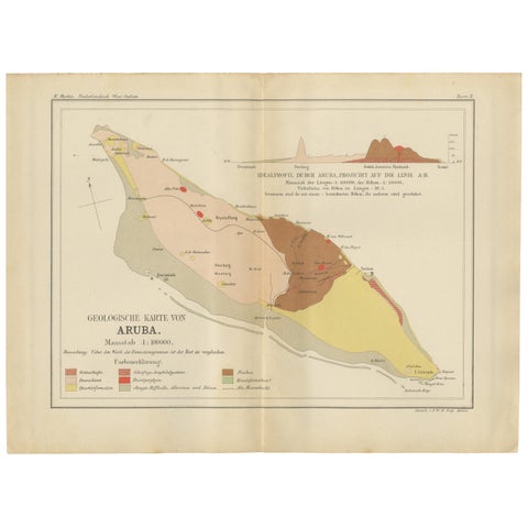
Antique Geological Map of Aruba - Dutch West Indies by Karl Martin, 1888
1888
$435
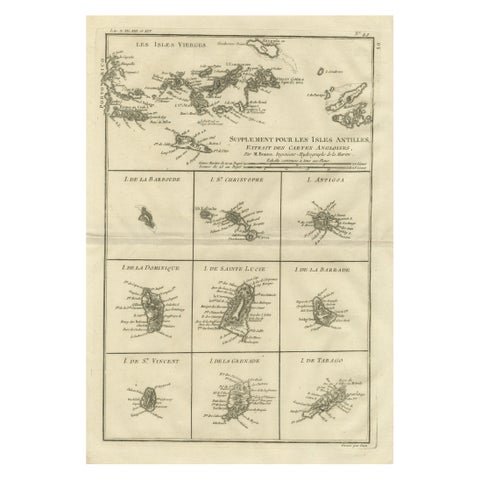
Antique Caribbean Map, Virgin Islands and Antilles Atlas Sheet, Bonne c.1780
1780 · Rigobert Bonne
$435
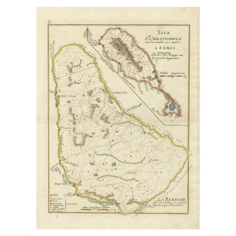
Barados and St Christopher or St Kitts and Nevis Islands in the Caribbean, 1748
1748
$405
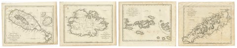
Antique Caribbean Maps of St. Kitts, Antigua, Virgin Islands & Tobago, 1818
1818
$405
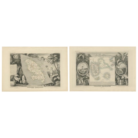
French Colonies in the Caribbean: Maps of Martinique and Guadeloupe (1852)
1852
$370
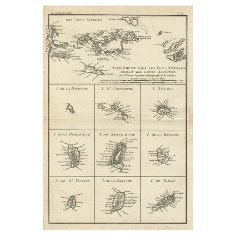
Map of Virgin Islands and Lesser Antilles by Rigobert Bonne, c. 1780
1780 · Rigobert Bonne
$370
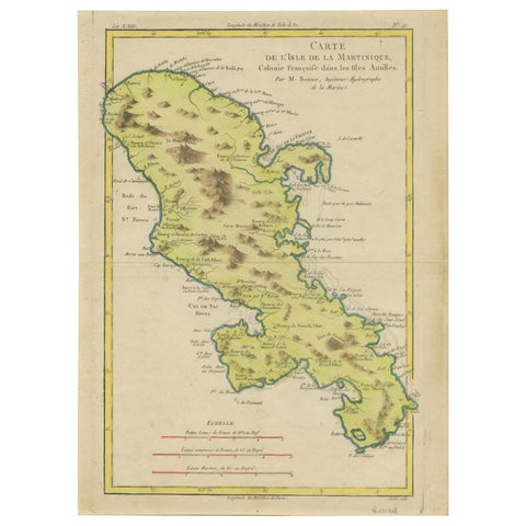
Antique Map of Martinique by Rigobert Bonne, Circa 1780
1780 · Rigobert Bonne
$360
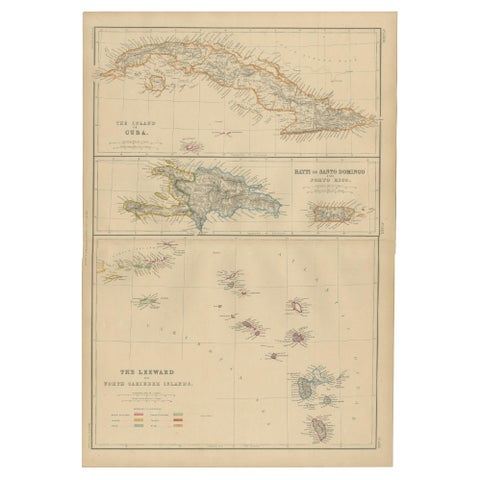
Cuba, Hayti, Santo Domingo and Leeward Islands, Antique Caribbean Map, 1859
1859
$325
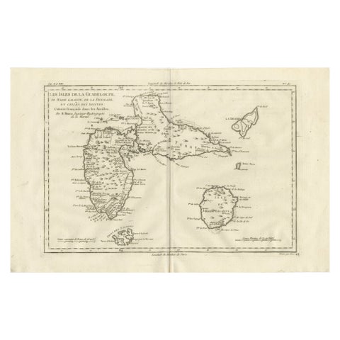
Antique Map Guadeloupe & Marie Galante, Rigobert Bonne Caribbean Chart c1780
circa 1780 · Rigobert Bonne
$325
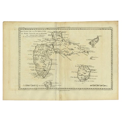
Antique Map of Guadeloupe with Les Saintes, Grand Bourg and La Désirade, c.1780
1780 · Jacques-Nicolas Bellin
$315
Page 1 of 2Next →
★
More of The Caribbean