A Bartele Gallery CollectionLangweer · Jakarta

American Maps & Prints
Original antique maps, charts & prints of the Americas ★ Originals only


Home › The Caribbean
Original antique maps & prints of

The West Indies

★ 57 original pieces ★
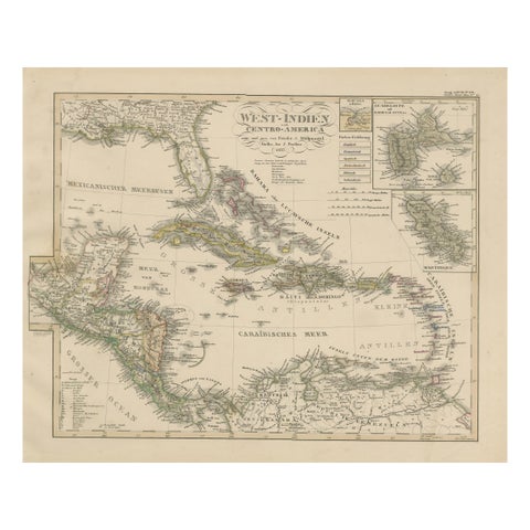
Antique Map of the Caribbean & Central America – West Indies, 1857
1857
$470
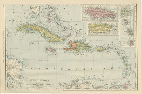
Antique Map of the West Indies, with Cuba, Jamaica and Puerto Rico, 1899
1899 · Rand McNally
$440
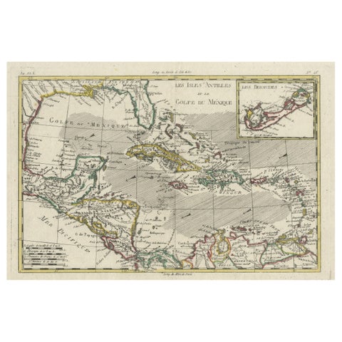
Original Engraving of the West Indies, Gulf of Mexico, Antilles, Caribbean, 1780
1780 · Rigobert Bonne
$435
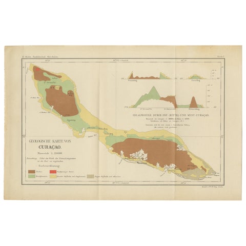
Antique Geological Map of Curaçao - Hand Colored Dutch Caribbean, 1888
1888
$435
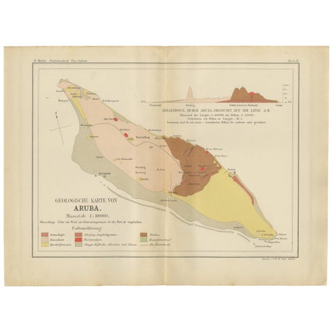
Antique Geological Map of Aruba - Dutch West Indies by Karl Martin, 1888
1888
$435
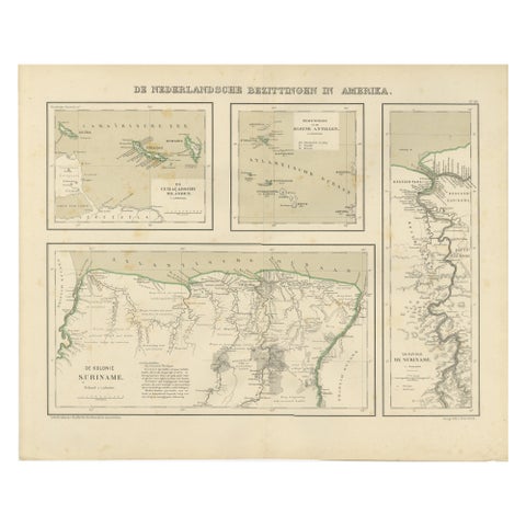
Antique Map of Dutch Colonies in the Caribbean & Suriname by Dornseiffen, 1884
1884
$435
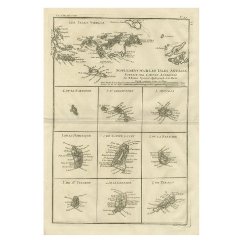
Antique Caribbean Map, Virgin Islands and Antilles Atlas Sheet, Bonne c.1780
1780 · Rigobert Bonne
$435
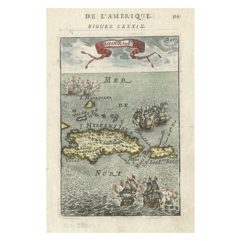
Antique 1683 Map of Hispaniola and Puerto Rico in the Caribbean by Mallet
1683
$425
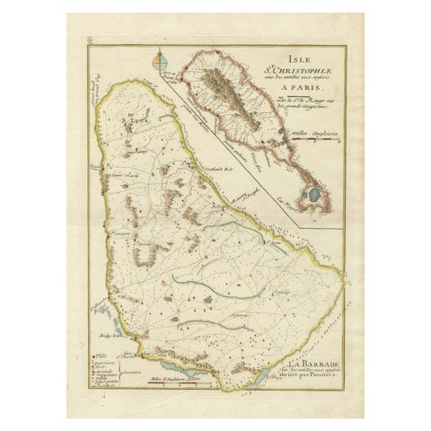
Barados and St Christopher or St Kitts and Nevis Islands in the Caribbean, 1748
1748
$405
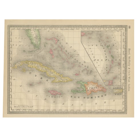
Antique Caribbean Map Wall Art – Cuba Jamaica Hispaniola, Rand McNally, ca.1888
1888 · Rand McNally
$405
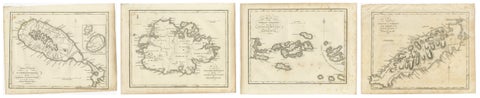
Antique Caribbean Maps of St. Kitts, Antigua, Virgin Islands & Tobago, 1818
1818
$405
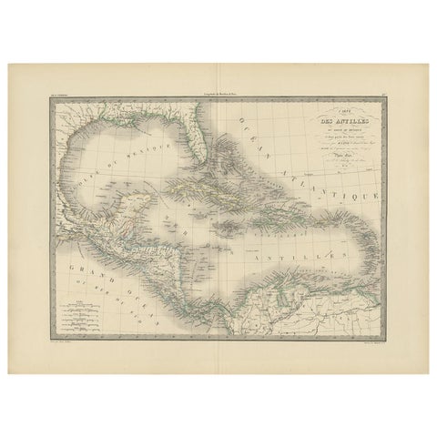
Antique Map of the Antilles by Pierre M. Lapie, Mid-19th Century
$380
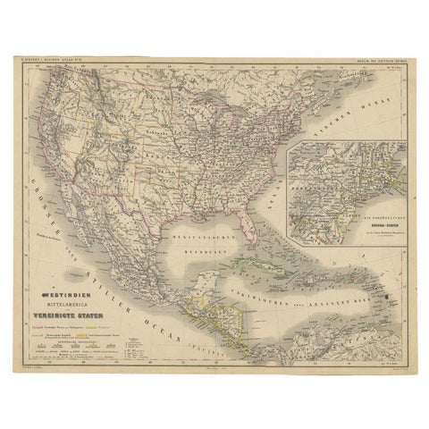
Old German Map of the United States, Central America and the West Indies, c.1870
1870
$380
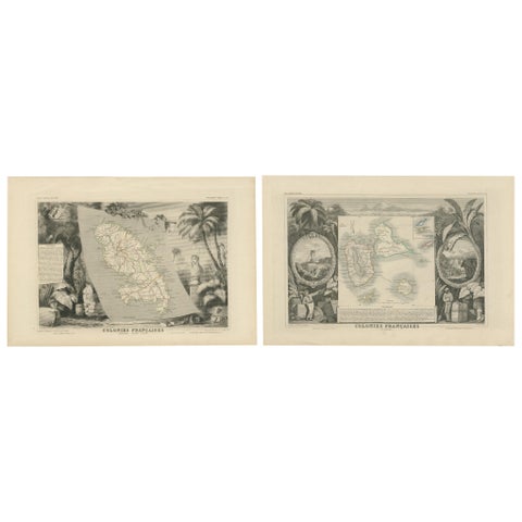
French Colonies in the Caribbean: Maps of Martinique and Guadeloupe (1852)
1852
$370
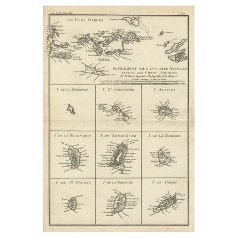
Map of Virgin Islands and Lesser Antilles by Rigobert Bonne, c. 1780
1780 · Rigobert Bonne
$370
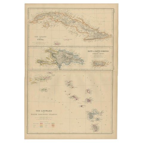
Cuba, Hayti, Santo Domingo and Leeward Islands, Antique Caribbean Map, 1859
1859
$325
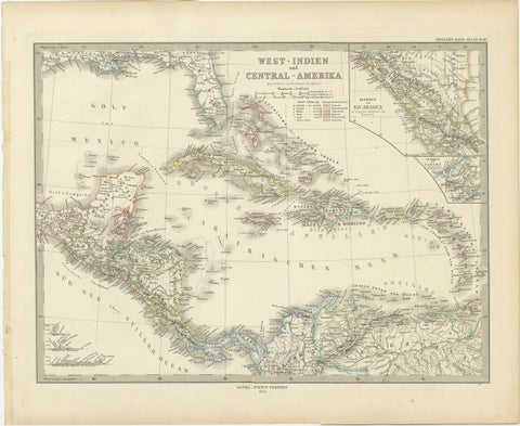
1880 Map of the Caribbean and Central America by Adolf Stieler
1880 · Stieler
$325
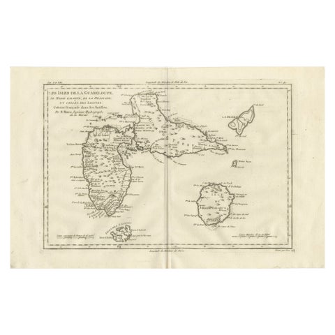
Antique Map Guadeloupe & Marie Galante, Rigobert Bonne Caribbean Chart c1780
circa 1780 · Rigobert Bonne
$325
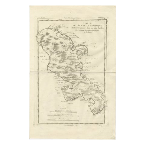
Antique Map Martinique Caribbean Island Chart, Rigobert Bonne French Map, c.1780
1780 · Rigobert Bonne
$315
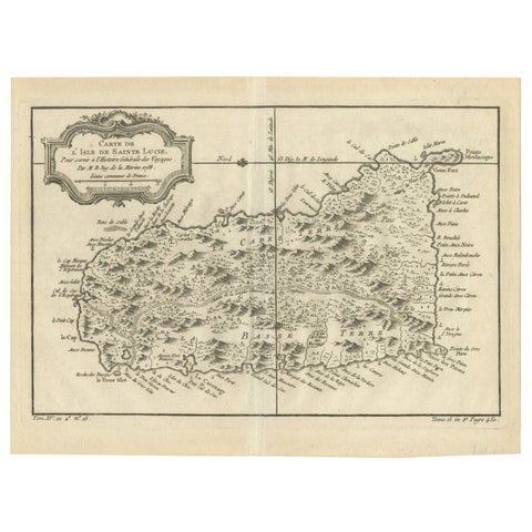
Original Engraved Map of Saint Lucia in the West Indies by Bellin, 1758
1758 · Jacques-Nicolas Bellin
$300
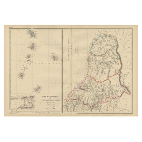
Antique Map the Windward or South Caribbean Islands and Guiana, 1859
1859
$290
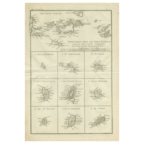
Original Antique Map of the Virgin Islands with Insets of Caribbean Isles, 1787
1787 · Jacques-Nicolas Bellin
$290
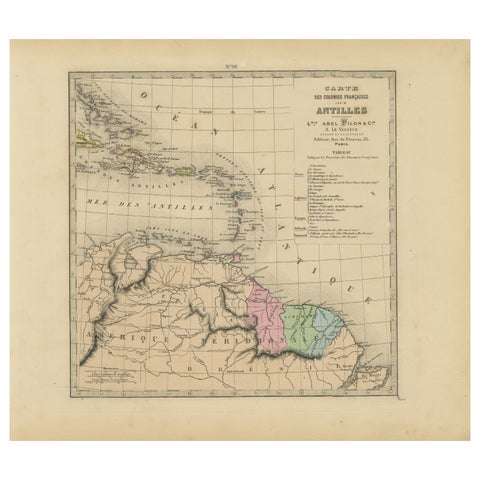
Authentique Map by Pilon of The French Colonies in The West Indies, 1876
1876
$270
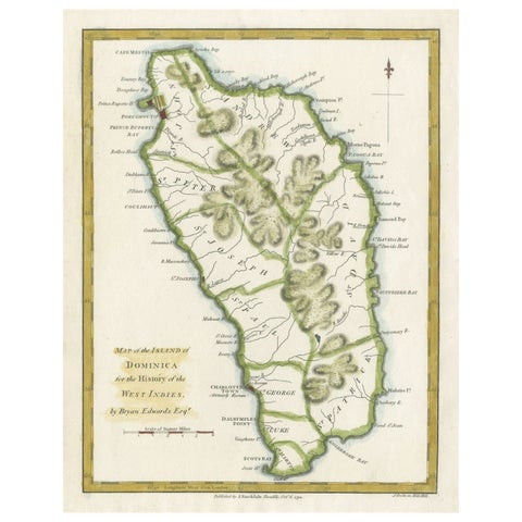
Original Antique Map of the Island of Dominica in the West Indies, 1794
1794
$270
← PreviousPage 2 of 3Next →
★

More of The Caribbean


Cuba
16 pieces
Jamaica
18 pieces
Hispaniola (Haiti & Dominican Republic)
16 pieces
The Bahamas
3 pieces
Bermuda
2 pieces
The Lesser Antilles
34 pieces

Your favorites

Saved in this browser. Email the list to yourself to keep it on any device.

We use your email to send this list and, only if you tick the box and confirm, for occasional new arrivals. Every email has an unsubscribe link. Bartele Gallery, the Netherlands.

Your bag

Total

Each piece is bought on its own; shipping is added at checkout.