Antique maps & prints of the Americas
The Twentieth Century
★ 42 original pieces ★
Pictorial maps, travel maps and later prints: the decorative side of American cartography in the twentieth century.
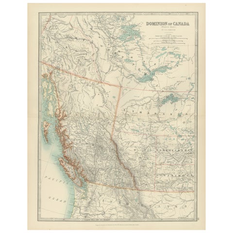
Canada’s West – 1903 Engraved Map by Johnston – Unique and Historic
1903 · W. & A. K. Johnston
$380
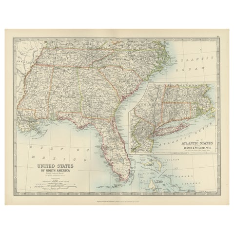
Map of the Southeastern USA and Atlantic States – Vintage 1903 Geography
1903 · W. & A. K. Johnston
$380
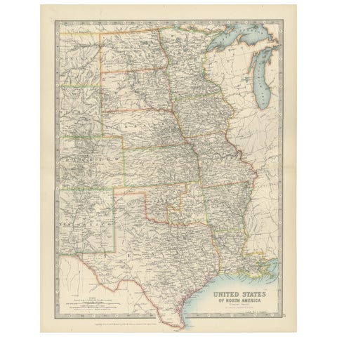
Map of United States Central Sheet 1903 – Railroads, States, and Topography
1903 · W. & A. K. Johnston
$380
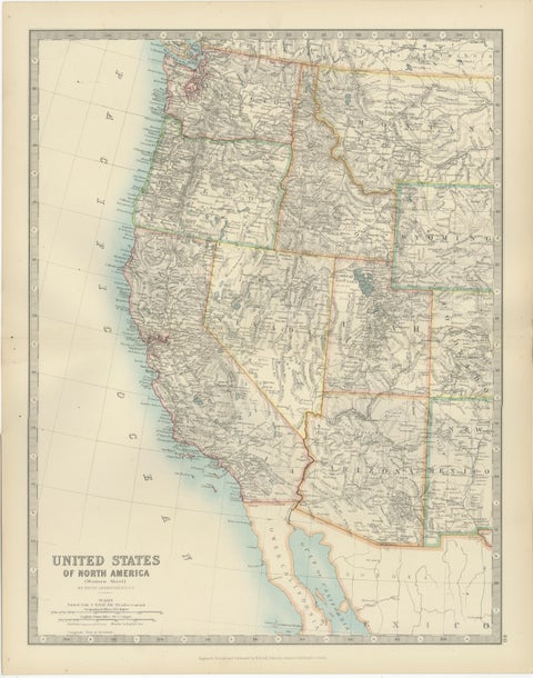
Map of Western United States 1903 – Railroads, State Borders, and Terrain
1903 · W. & A. K. Johnston
$380
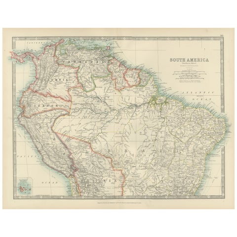
Map of Northern South America – Vibrant Engraving by Keith Johnston, 1903
1903 · W. & A. K. Johnston
$380
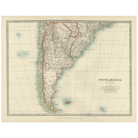
Map of Southern South America – Richly Detailed Engraving by K.Johnston, 1903
1903 · W. & A. K. Johnston
$380
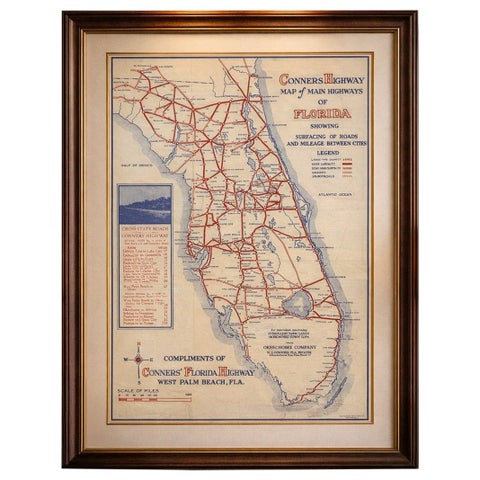
Antique Florida Highway Map – Conners Highway, Lake Okeechobee Roads, ca.1924
1924
$370
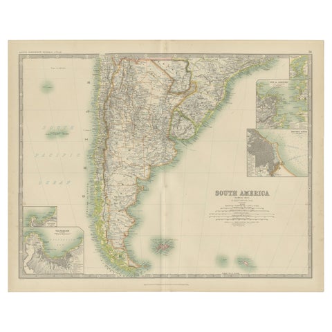
Antique Map of South America by Johnston '1909'
1909 · W. & A. K. Johnston
$280
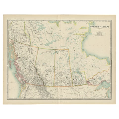
Antique Map of Canada by Johnston '1909'
1909 · W. & A. K. Johnston
$280
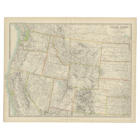
Antique Map of the United States 'North West' by Johnston, '1909'
1909 · W. & A. K. Johnston
$280
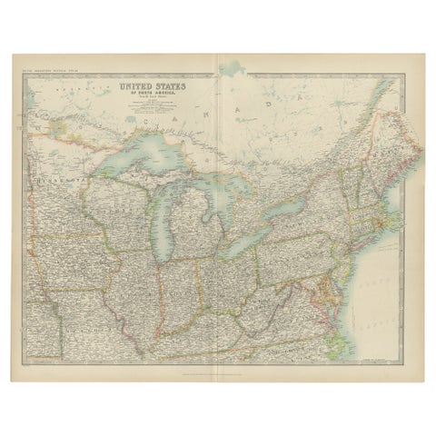
Antique Map of the United States ' North East ' by Johnston '1909'
1909 · W. & A. K. Johnston
$280
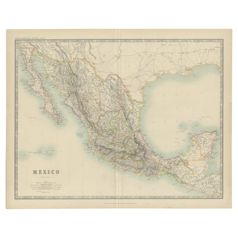
Antique Map of Mexico by Johnston, '1909'
1909 · W. & A. K. Johnston
$280
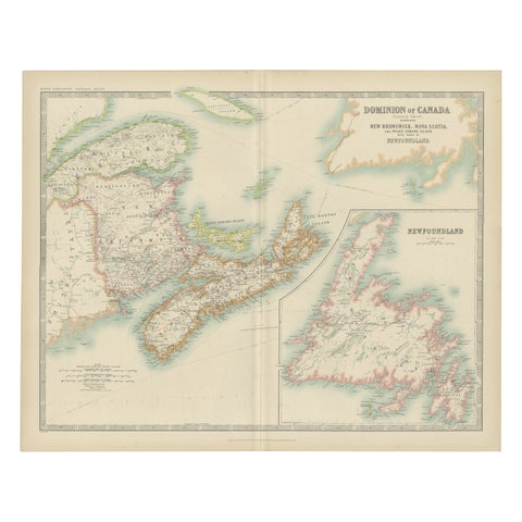
Antique Map of Canada by Johnston '1909'
1909 · W. & A. K. Johnston
$280
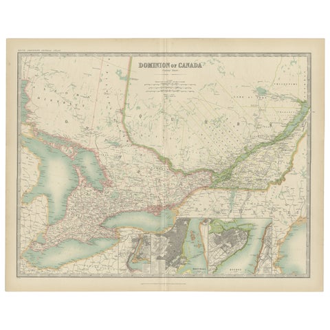
Antique Map of Canada by Johnston '1909'
1909 · W. & A. K. Johnston
$280
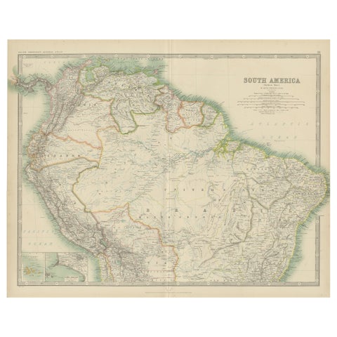
Exploring South America's North: Antique Map from the Royal Atlas of 1909
1909 · W. & A. K. Johnston
$280
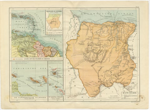
Suriname & the Dutch Antilles – Colonial Atlas Map by W.J. Thieme, c.1905
1905
$270
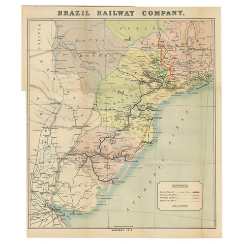
Antique Map of the Brazil Railway Company, '1912'
1912
$170
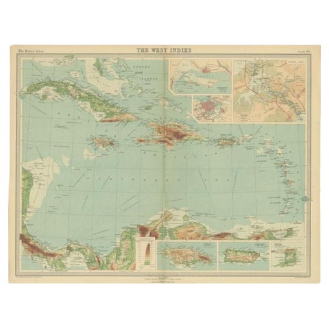
Antique Map of the West Indies in Full Color, 1922
1922
$140
← PreviousPage 2 of 2
★
Other periods