Antique maps & prints of the Americas
Westward Expansion & Civil War
★ 381 original pieces ★
Texas, Oregon and the Mexican cession, the gold rush and the Civil War: two decades in which the map of the United States changed faster than at any time before or since.
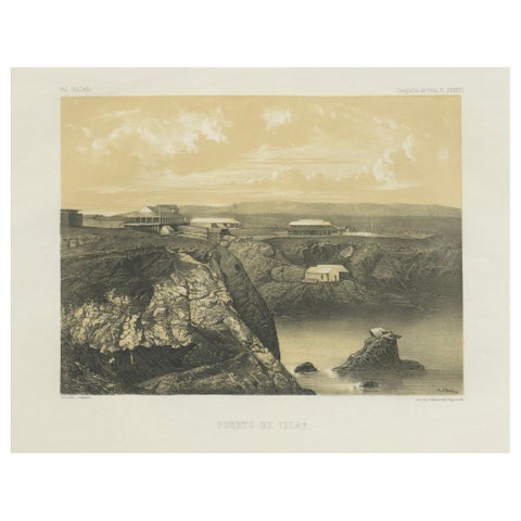
Puerto de Islay Peru – Antique Coastal Port Lithograph c.1865
1865
$490
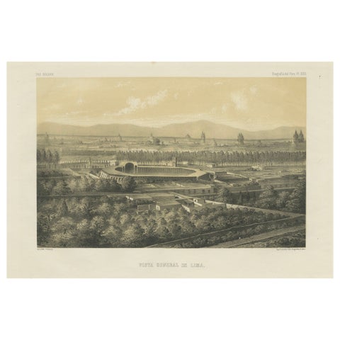
Antique Lithograph View of Lima, Peru – Vista General de Lima 1865
1865
$490
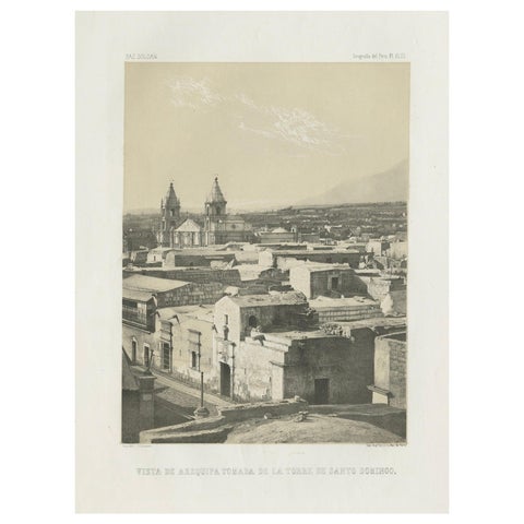
Antique lithograph view of Arequipa from the Tower of Santo Domingo – 1865
1865
$490
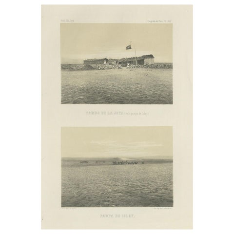
Antique lithograph views of Tambo de la Joya and Pampa de Islay, Peru – 1865
1865
$490
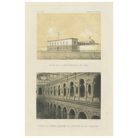
Antique lithograph views of Lima – Penitentiary & San Francisco Convent, 1865
1865
$490
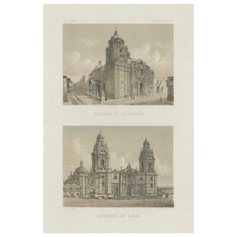
Hand-colored lithograph views of the Cathedral and La Merced Church, Lima – 1865
1865
$490
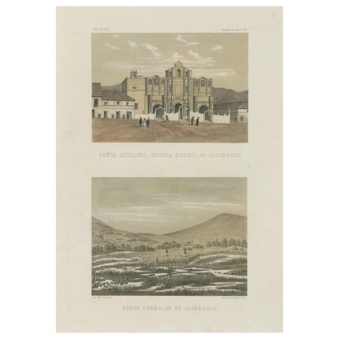
Hand-colored Views of Cajamarca – Santa Catalina Church & Thermal Springs, 1865
1865
$490
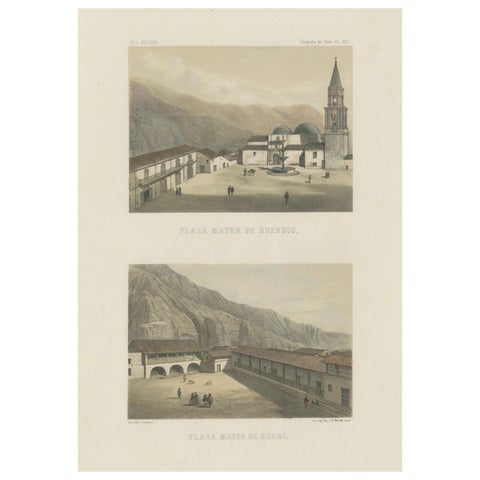
Hand-colored lithograph views of Huánuco & Huari, Peru – Plazas Mayores, 1865
1865
$490
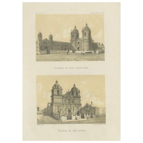
Antique Views of Lima – Iglesia de San Francisco & Iglesia de San Pedro, 1865
1865
$490
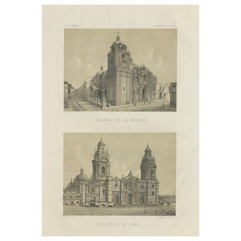
Antique lithograph views of the Cathedral and La Merced Church, Lima – 1865
1865
$490
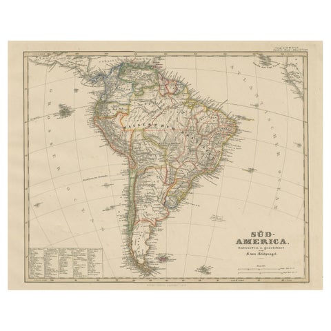
Historic 1858 Map of South America – Pre-Border Consolidation
1858
$480
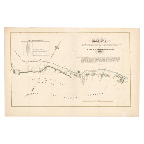
1849 Hand-Colored Map of Fort Smith to Santa Fe Route, Detailing Trails & Camps
1849
$470
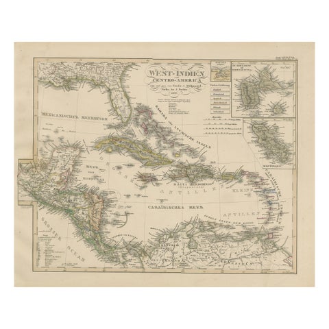
Antique Map of the Caribbean & Central America – West Indies, 1857
1857
$470
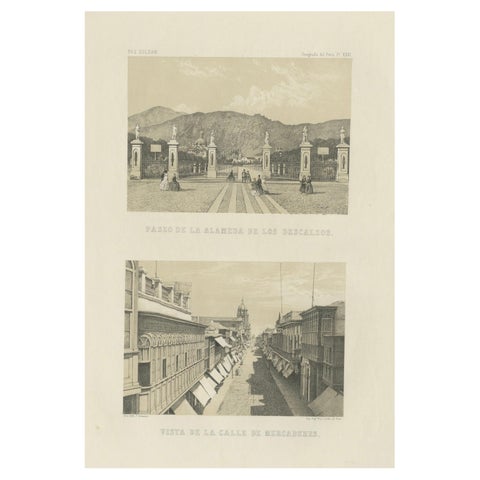
Antique Lithographs of Lima Peru 1865 – Paseo de los Descalzos & Mercaderes
1865
$460
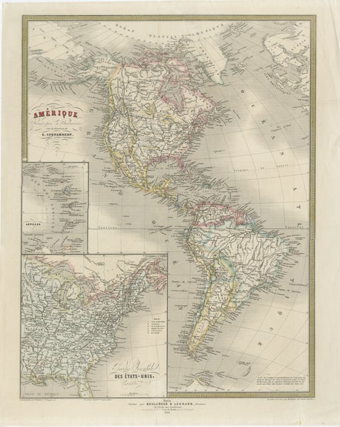
French Map of the Americas by Cortambert – North & South America 1864
1864
$445
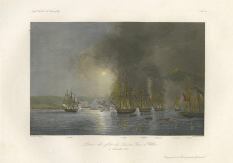
French Capture of San Juan de Ulúa, Mexico after Gudin, c.1840
1840
$440
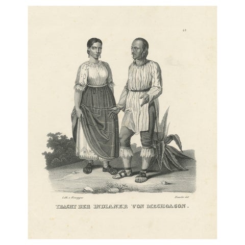
Antique Steel Engraved Print showing Natives of Michoacan, Mexico, ca.1845
1845
$435
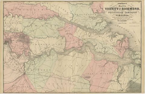
1862 Johnson's Map of the Vicinity of Richmond & Peninsular Campaign, Virginia
1862
$435
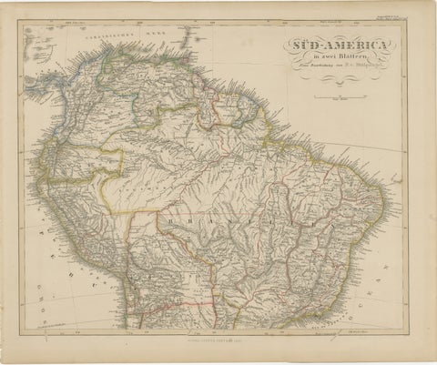
1857 Map of Northern South America – Brazil, Colombia, Peru by Stülpnagel
1857
$435
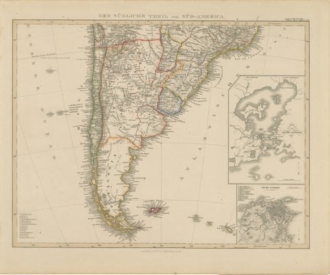
1857 Map of Southern South America – Argentina, Chile, Rio de Janeiro
1857
$435
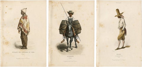
Set of Three Antique People & Trades of Lima Peru Engravings, circa 1850
1850
$435
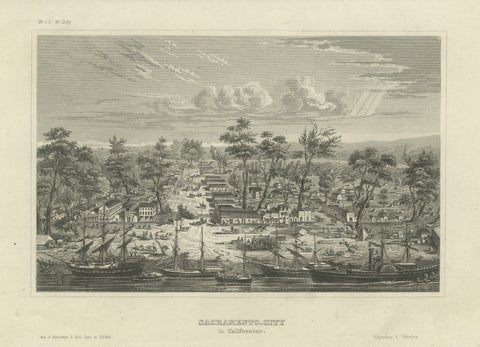
Sacramento City California – Antique Gold Rush Port Steel Engraving, ca.1850
1850 · Meyer
$435
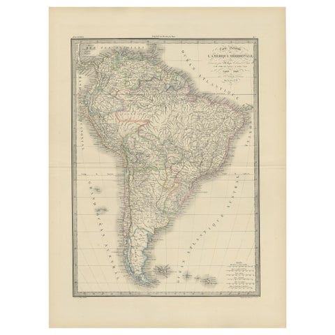
Antique Map of South America by Lapie '1842'
1842
$430
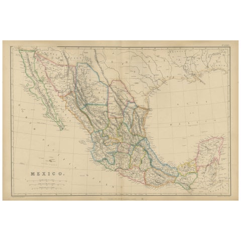
Mexico, Antique Map, Central America and Gulf of Mexico, Blackie Atlas 1860
1860
$430
★
Other periods