Antique maps & prints by
Rand McNally
★ 135 original pieces ★
The Chicago firm whose railroad and commercial maps defined American mapmaking in the late nineteenth century. Its indexed atlases were revised from one issue to the next, so a dated sheet is a snapshot of its year.
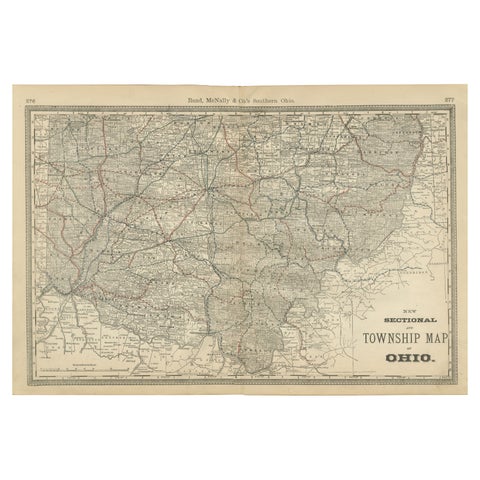
Antique Map of Southern Ohio – The Buckeye State - Railroads & Townships, 1888
1888 · Rand McNally
$515
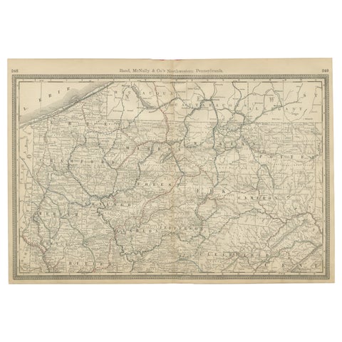
Pennsylvania Antique Map c.1888 – The Keystone State, Northwestern Counties
1888 · Rand McNally
$515
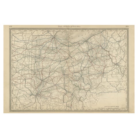
Antique Ohio Map c.1888 – Buckeye State Railroads, Towns & Settlements
1888 · Rand McNally
$515
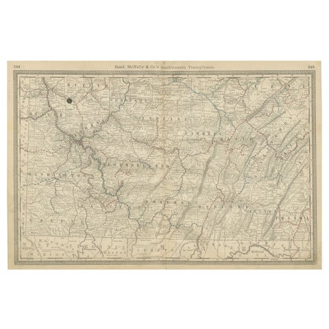
Southwestern Pennsylvania Antique Map c.1888 – Keystone State Counties & Cities
1888 · Rand McNally
$515
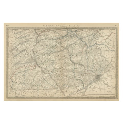
Pennsylvania 1888 Antique Map – The Keystone State, Southeastern Railroads
1888 · Rand McNally
$515
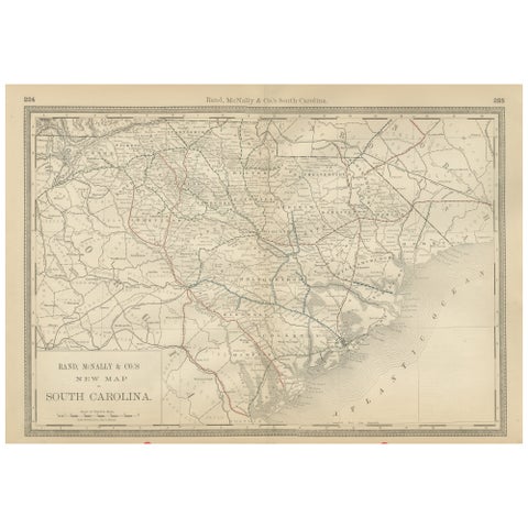
South Carolina Antique Map c.1888 – The Palmetto State, Railroads & Counties
1888 · Rand McNally
$515
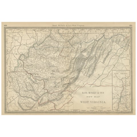
West Virginia Antique Railroad Map c.1888 – Mountain State Counties & Towns
1888 · Rand McNally
$515
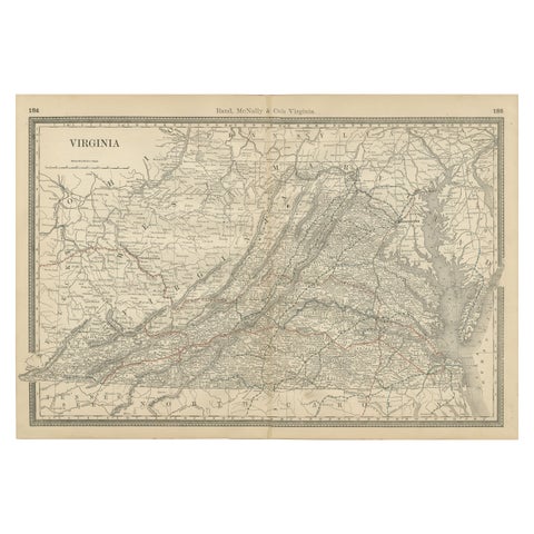
Antique Virginia Map c.1888 – Railroads, Towns & The Old Dominion
1888 · Rand McNally
$515
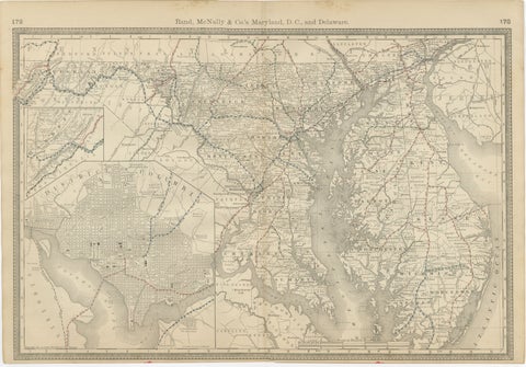
Maryland, D.C. & Delaware Antique Map – Old Line State Railroads, c.1888
1888 · Rand McNally
$515
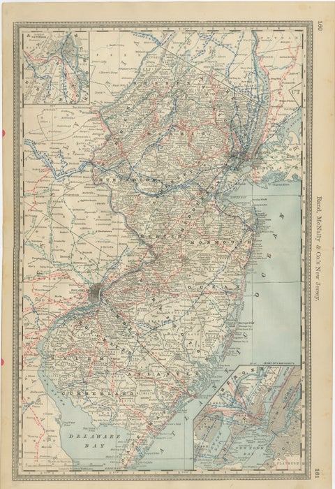
New Jersey Antique Map – The Garden State, Railroads & Counties, c.1888
1888 · Rand McNally
$515
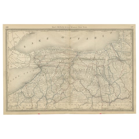
Western New York Antique Map – The Empire State, Railroads & Counties, c.1888
1888 · Rand McNally
$515
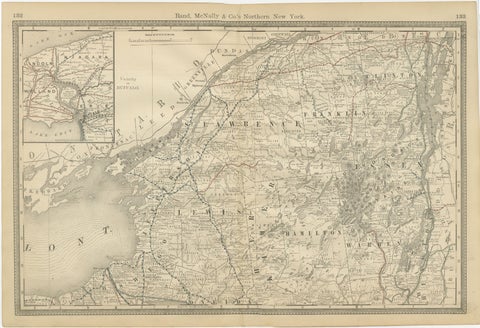
Antique Map of Northern New York – Rand McNally, circa 1888
1888 · Rand McNally
$515
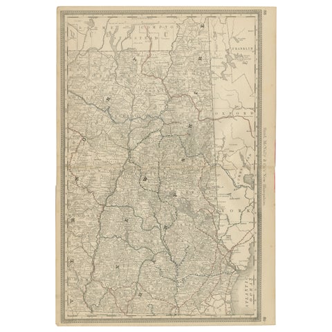
New Hampshire Antique Railroad Map c.1888 – Granite State Counties & Cities
1888 · Rand McNally
$515
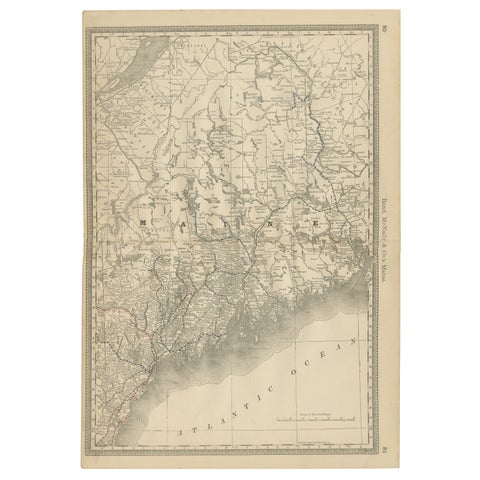
Maine Antique Railroad Map c.1888 – Pine Tree State Counties & Settlements
1888 · Rand McNally
$515
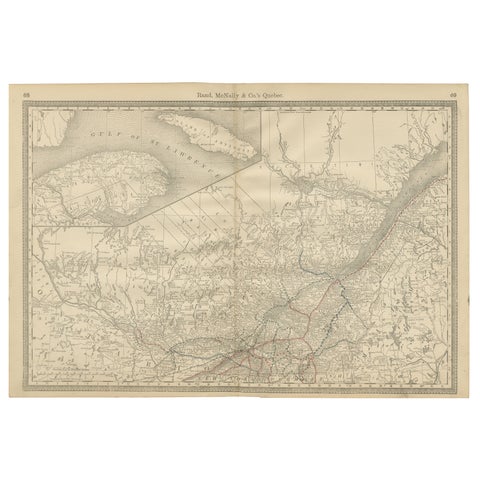
Quebec Antique Railroad Map c.1888 – La Belle Province, Cities & Towns
1888 · Rand McNally
$515
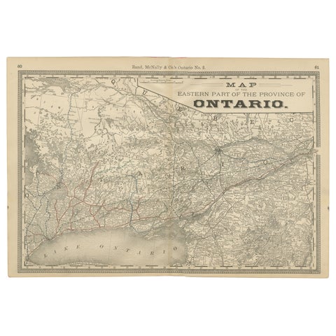
Eastern Ontario Antique Map c.1888 – The Heartland Province, Railroads
1888 · Rand McNally
$515
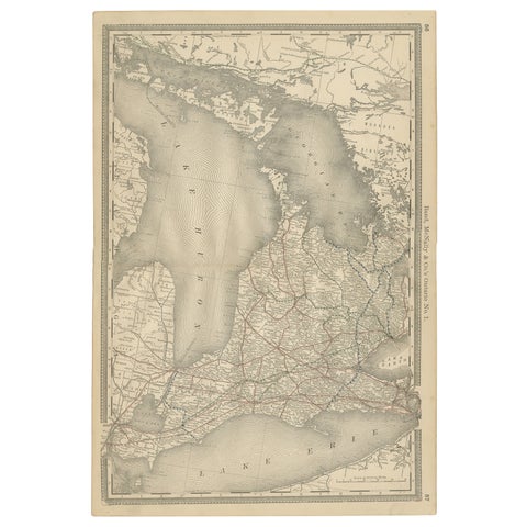
Ontario Antique Map c.1888 – Western Counties, Heartland Province Railroads
1888 · Rand McNally
$515
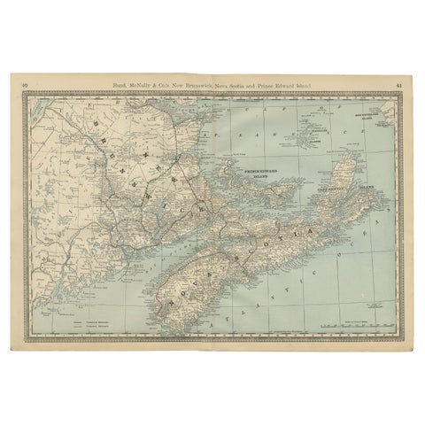
Nova Scotia, New Brunswick & Prince Edward Island Antique Map c.1888
1888 · Rand McNally
$515
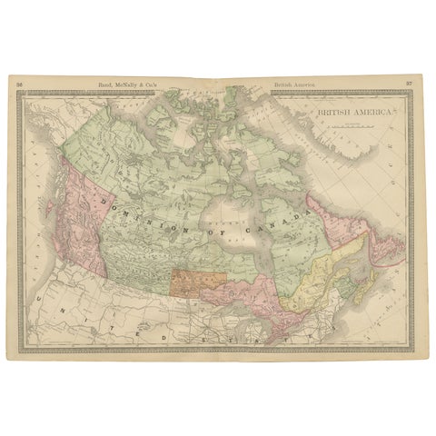
Canada Antique Railroad Map c.1888 – British America, Cities & Regions
1888 · Rand McNally
$515
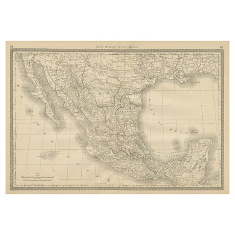
Mexico Antique Railroad Map c.1888 – Cities, States & Land of the Aztecs
1888 · Rand McNally
$515
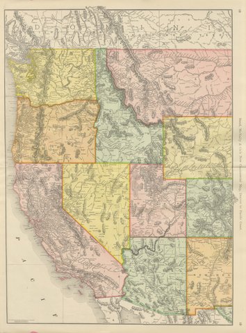
Antique Map of the Western United States, Denver to the Pacific Coast, 1899
1899 · Rand McNally
$500
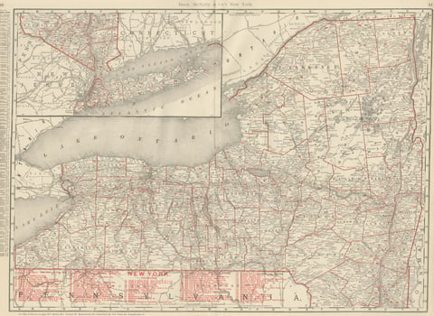
Antique Map of New York State, The Empire State, Rand McNally, 1899
1899 · Rand McNally
$500
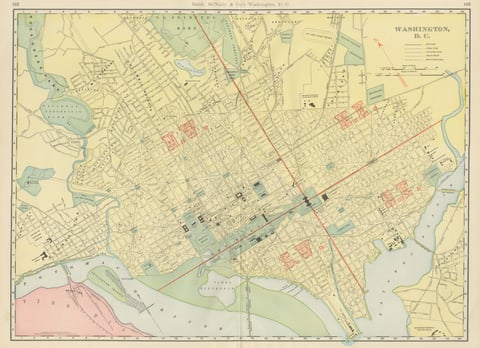
Antique Map of Washington, D.C., The Nation's Capital, Rand McNally, 1899
1899 · Rand McNally
$500
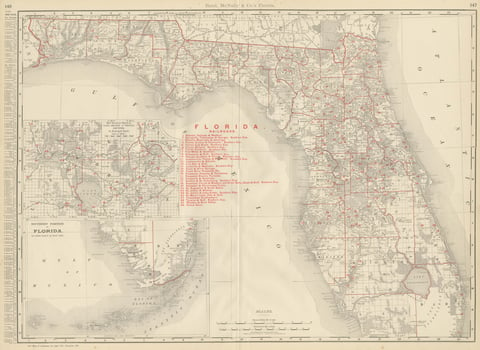
Antique Map of Florida, The Sunshine State, Rand McNally, 1899
1899 · Rand McNally
$500
★
Other mapmakers and artists
J. H. Colton
5 pieces
A. J. Johnson
14 pieces
John James Audubon
10 pieces
Mark Catesby
5 pieces
Blaeu
14 pieces
Theodor de Bry
10 pieces
Montanus & Ogilby
9 pieces
Frederick de Wit
3 pieces
Guillaume Delisle
9 pieces
Jacques-Nicolas Bellin
15 pieces
Robert de Vaugondy
5 pieces
Rigobert Bonne
27 pieces
Homann Heirs
3 pieces
Thomas Kitchin
6 pieces
Emanuel Bowen
13 pieces
John Thomson
4 pieces
John Tallis
16 pieces
Adam & Charles Black
13 pieces
W. & A. K. Johnston
34 pieces
Stieler
12 pieces
Meyer
15 pieces
Van Keulen
3 pieces
Captain Cook voyages
17 pieces
La Perouse
4 pieces
Alexander von Humboldt
3 pieces
Auguste Wahlen
5 pieces