Original antique maps & prints of
The Midwest
★ 78 original pieces ★
The old Northwest Territory and beyond: Ohio, Indiana, Illinois, Michigan, Wisconsin, Minnesota, Iowa and Missouri, mapped as they were surveyed and settled.
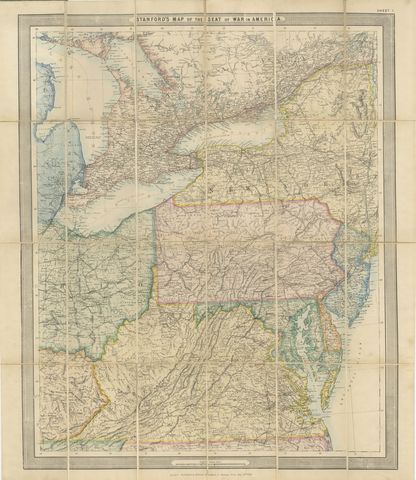
American Civil War “Seat of War” Map, Published Just After Bull Run, 1861
1861
$2,170
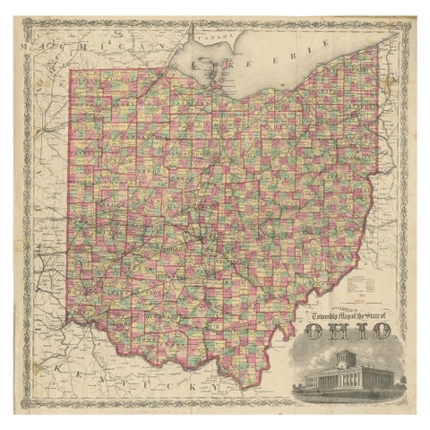
Antique Railroad & Township Map of Ohio by C.O. Titus, Paper, 1871
1871
$1,345

Antique Map of the Coal Fields of the United States by Walker '1874'
1874
$760
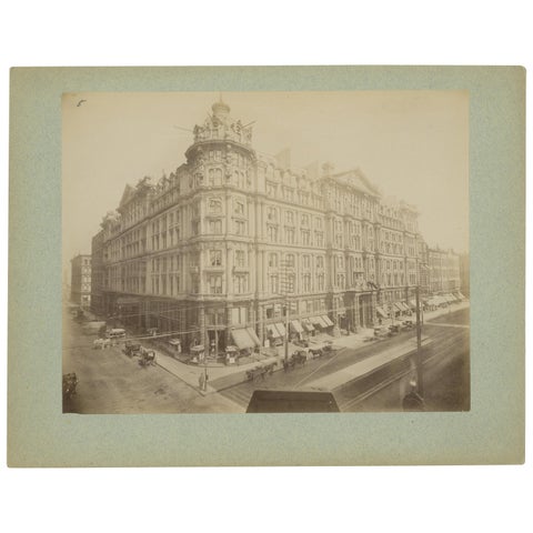
Antique Albumen Print of The Palmer House, Chicago 'c.1890'
1890
$670
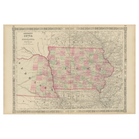
Vintage 1862 Map of Iowa and Nebraska – Decorative Atlas Print
1862
$660
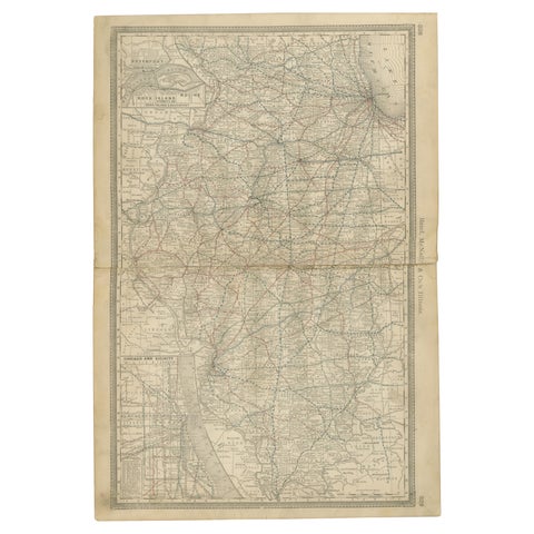
Detailed Antique Map of Illinois – Railroads, Cities & Counties, 1888
1888 · Rand McNally
$535
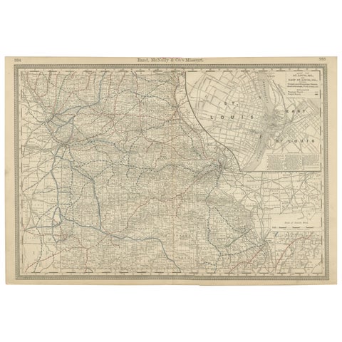
Antique Map of Missouri – The Show-Me State with St. Louis Inset, 1888
1888 · Rand McNally
$515
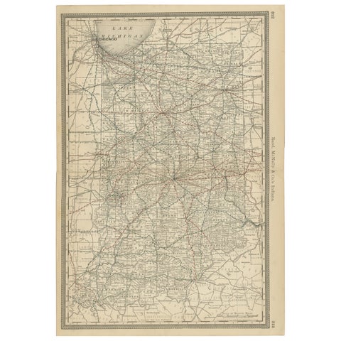
Antique Map of Indiana – The Hoosier State with Railroads & Counties, 1888
1888 · Rand McNally
$515
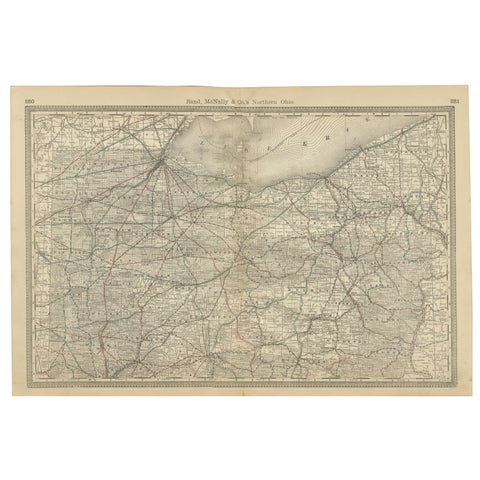
Antique Map of Northern Ohio – The Buckeye State with Railroads & Counties, 1888
1888 · Rand McNally
$515
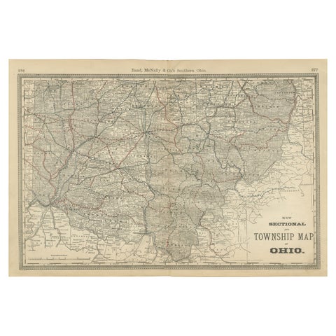
Antique Map of Southern Ohio – The Buckeye State - Railroads & Townships, 1888
1888 · Rand McNally
$515
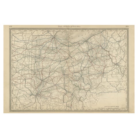
Antique Ohio Map c.1888 – Buckeye State Railroads, Towns & Settlements
1888 · Rand McNally
$515
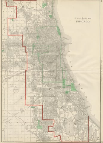
Antique Street Map of Chicago, with the Loop and Lakefront, Rand McNally, 1899
1899 · Rand McNally
$500
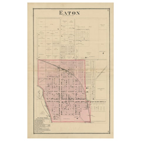
Antique Map of Eaton 'Ohio' by Titus, 1871
1871
$450
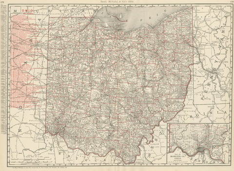
Antique Map of Ohio, The Buckeye State, Rand McNally, 1899
1899 · Rand McNally
$440
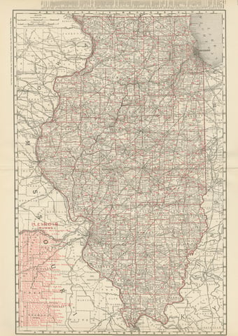
Antique Map of Illinois, The Prairie State, Rand McNally, 1899
1899 · Rand McNally
$440
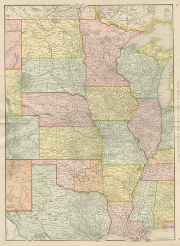
Antique Map of the Central United States, Chicago to Denver, Rand McNally, 1899
1899 · Rand McNally
$440
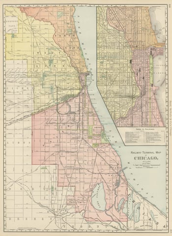
Antique Map of Chicago Railway Terminals, The Windy City, Rand McNally, 1899
1899 · Rand McNally
$440
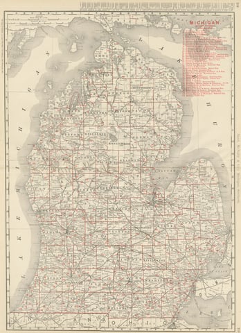
Antique Map of Michigan, The Great Lakes State, Rand McNally, 1899
1899 · Rand McNally
$440
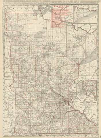
Antique Map of Minnesota, The North Star State, Rand McNally, 1899
1899 · Rand McNally
$440
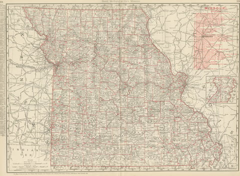
Antique Map of Missouri, The Show-Me State, Rand McNally, 1899
1899 · Rand McNally
$440
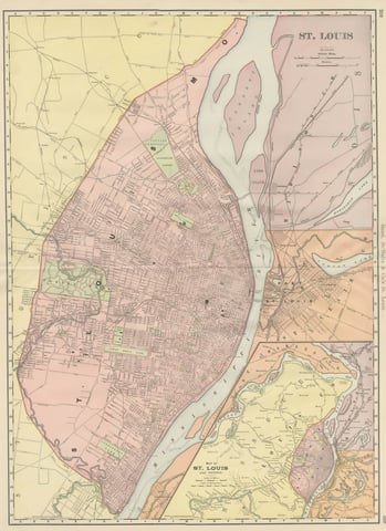
Antique Map of St. Louis, with Forest Park, Rand McNally, 1899
1899 · Rand McNally
$440
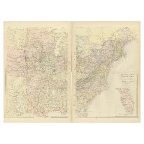
1882 Blackie Atlas Maps: Atlantic States and Mississippi Valley Compilation
1882
$405
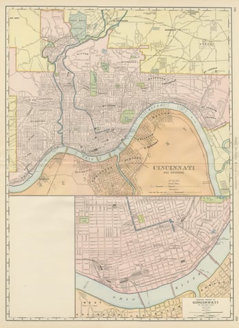
Antique Map of Cincinnati, The Queen City, Rand McNally, 1899
1899 · Rand McNally
$385
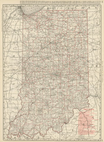
Antique Map of Indiana, The Hoosier State, Rand McNally, 1899
1899 · Rand McNally
$385
Page 1 of 4Next →
★
States in The Midwest