Original antique maps & prints of
The Great Plains
★ 18 original pieces ★
Kansas, Nebraska, the Dakotas and Oklahoma, including Indian Territory, from open grassland to the railroad townships of the 1880s.
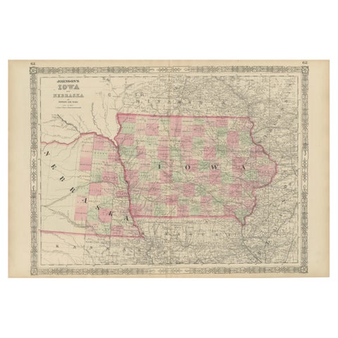
Vintage 1862 Map of Iowa and Nebraska – Decorative Atlas Print
1862
$660
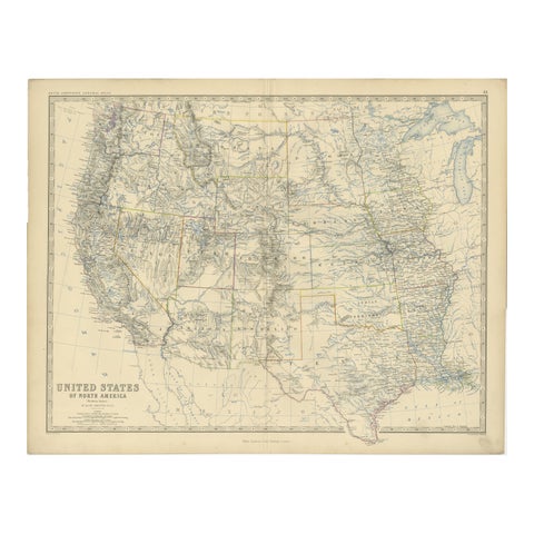
1874 Map of Western United States – Detailed Atlas by Keith Johnston
1874 · W. & A. K. Johnston
$615
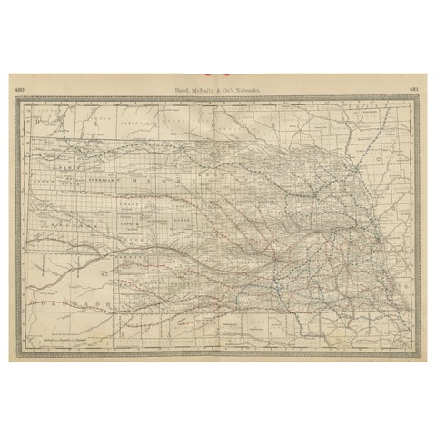
Nebraska Railroad Map 1888 – Rand McNally Antique Lithograph
1888 · Rand McNally
$535
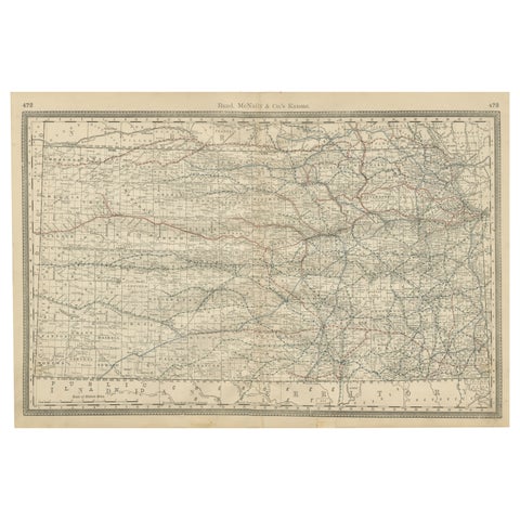
Kansas Railroad Map 1888 – Rand McNally Antique Lithograph
1888 · Rand McNally
$535
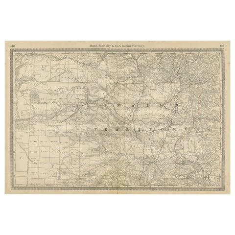
Indian Territory Map 1888 – Rand McNally Antique Lithograph
1888 · Rand McNally
$535
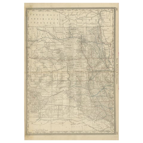
Dakota Territory Railroad Map 1888 – Rand McNally Antique Lithograph
1888 · Rand McNally
$515
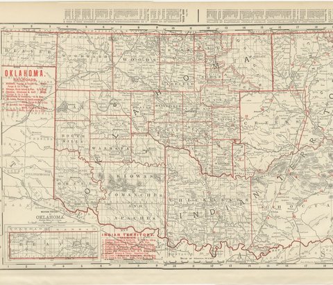
Antique Map of Oklahoma and Indian Territory, Before Statehood, 1899
1899 · Rand McNally
$500
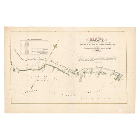
1849 Hand-Colored Map of Fort Smith to Santa Fe Route, Detailing Trails & Camps
1849
$470
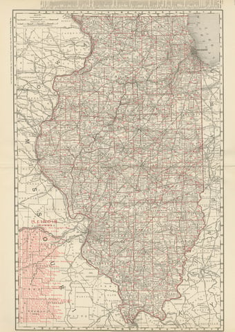
Antique Map of Illinois, The Prairie State, Rand McNally, 1899
1899 · Rand McNally
$440
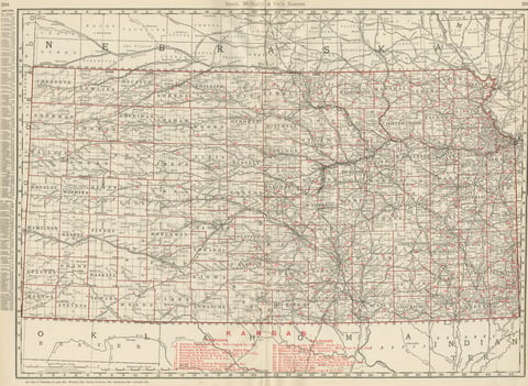
Antique Map of Kansas, The Sunflower State, Rand McNally, 1899
1899 · Rand McNally
$440
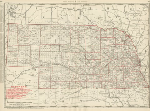
Antique Map of Nebraska, The Cornhusker State, Rand McNally, 1899
1899 · Rand McNally
$440
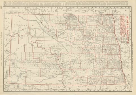
Antique Map of North Dakota, with Fort Berthold Reservation, Rand McNally, 1899
1899 · Rand McNally
$385
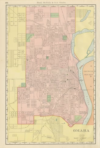
Antique Map of Omaha, with Union Stock Yards, Rand McNally, 1899
1899 · Rand McNally
$330
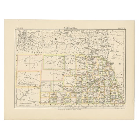
Antique Map of Nebraska
1884
$325
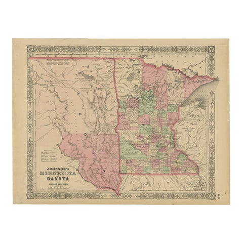
Minnesota and Dakota Map – Johnson, Hand-Colored, USA c.1864
1864
$325
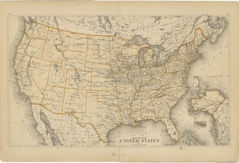
1874 Map of the United States with Territorial Boundaries
1874
$290
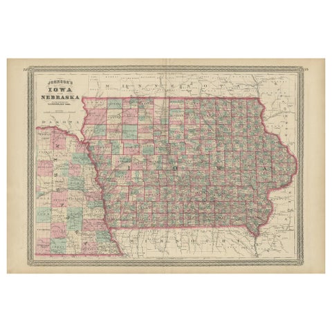
Antique Map of Iowa and Nebraska by Johnson, '1872'
1872 · A. J. Johnson
$280
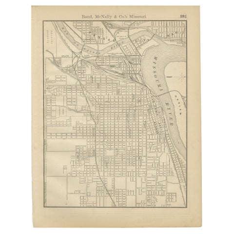
Antique Kansas City Map Wall Art – Missouri–Kansas Border, Rand McNally, ca.1888
1888 · Rand McNally
$225
★
States in The Great Plains