A Bartele Gallery CollectionLangweer · Jakarta

American Maps & Prints
Original antique maps, charts & prints of the Americas ★ Originals only


Home › United States
Original antique maps & prints of

The Great Plains

★ 6 original pieces ★

Kansas, Nebraska, the Dakotas and Oklahoma, including Indian Territory, from open grassland to the railroad townships of the 1880s.
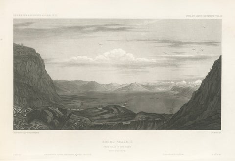
Antique Utah Landscape Print, Round Prairie & Timpanogos Valley, 1861
1861
$315
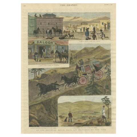
The Southern Route From San Francisco to New York Published in The Graphic, 1887
1887
$245
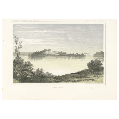
Serene Landscape of Lake Jessie in Dakota - Tinted Lithgraph Published  in 1856
Serene Landscape of Lake Jessie in Dakota - Tinted Lithgraph Published in 1856
1856
$245
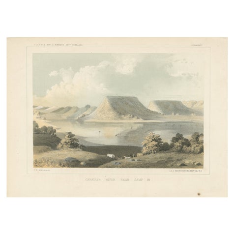
Scenic Canadian River Landscape, Camp 38 – Between Witchita and Oklahoma, 1856
1856
$245
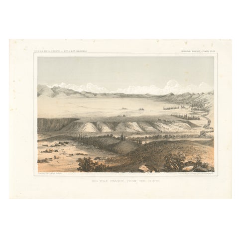
Big Hole Prairie View – Scenic Montana Landscape Print, Published in 1856
1856
$245
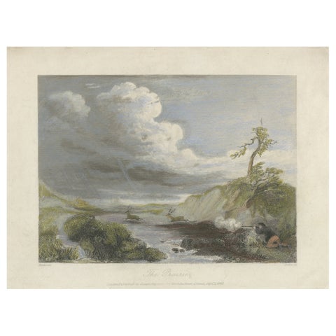
The Prairie – Small Romantic Engraving of the American Frontier, 1841
1841
$145
★

States in The Great Plains


Kansas
5 pieces
Nebraska
6 pieces
North Dakota
10 pieces
Oklahoma
5 pieces
South Dakota
3 pieces

Your favorites

Saved in this browser. Email the list to yourself to keep it on any device.

We use your email to send this list and, only if you tick the box and confirm, for occasional new arrivals. Every email has an unsubscribe link. Bartele Gallery, the Netherlands.

Your bag

Total

Each piece is bought on its own; shipping is added at checkout.