Original antique maps & prints of
Massachusetts
★ 8 original pieces ★
Plymouth, Boston and Cape Cod: the oldest English settlements in New England and some of the earliest American places to be mapped in detail. We currently hold 8 original sheets of Massachusetts, published between 1642 and 1899. Of these, 8 are maps and 7 are views and prints. The earliest is Antique New England Map Blaeu c.1642 – Nova Belgica & Anglia, Ships.
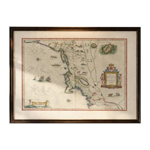
Antique New England Map Blaeu c.1642 – Nova Belgica & Anglia, Ships
1642 · Blaeu
$8,785
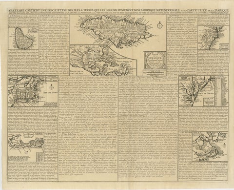
Rare French Colonial America Map, Jamaica Barbados Carolina, c.1719
1719
$1,450
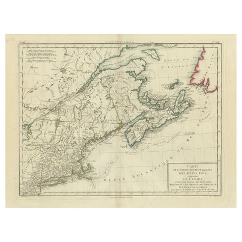
Antique Map of the Northeastern United States and Canada by Tardieu, 1802
1802
$625
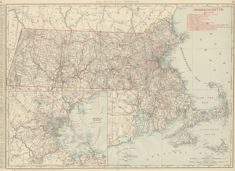
Antique Map of Massachusetts, The Bay State, Rand McNally, 1899
1899 · Rand McNally
$440
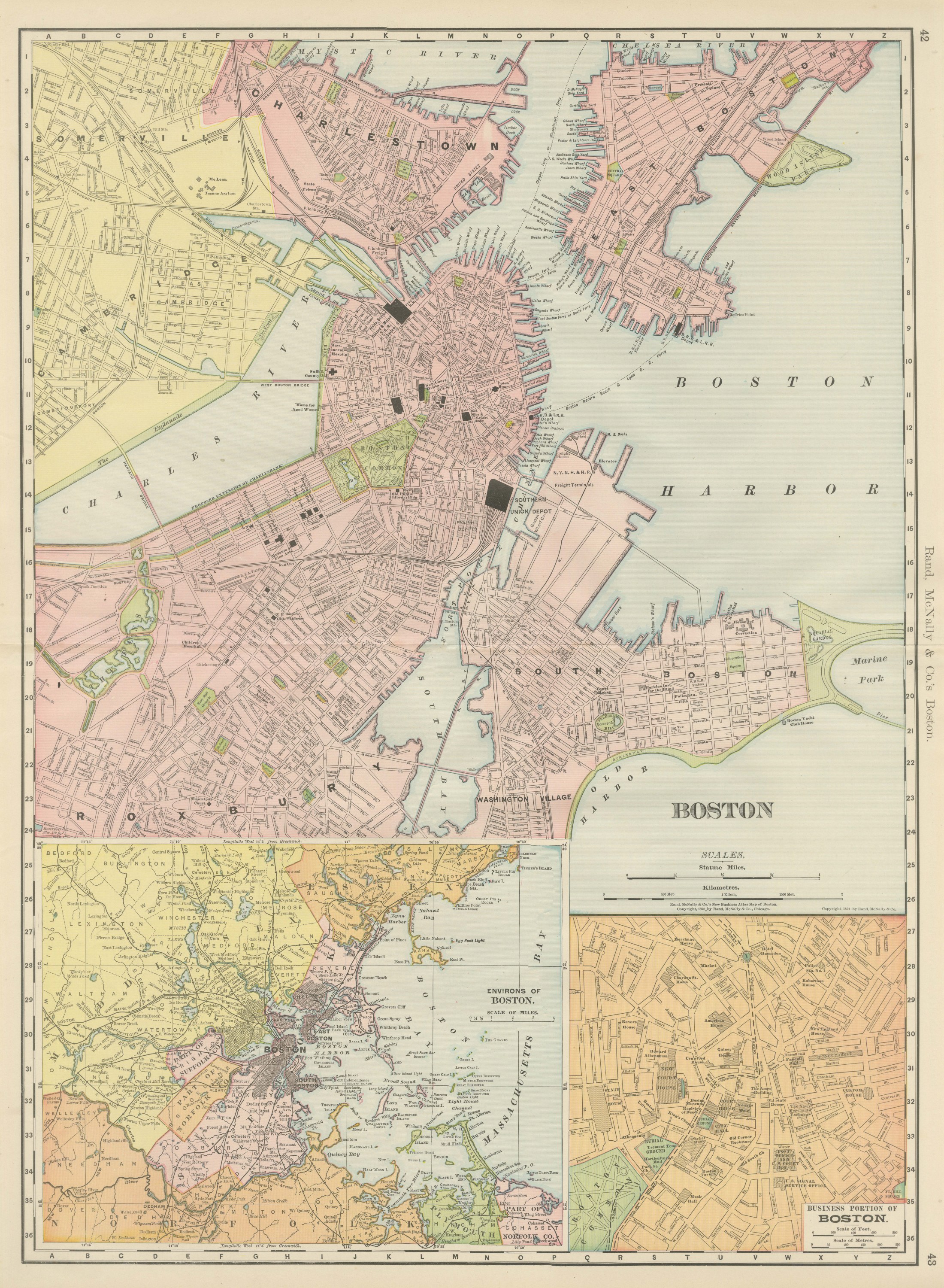
Antique Map of Boston, with Harbor and Environs Inset, Rand McNally, 1899
1899 · Rand McNally
$440
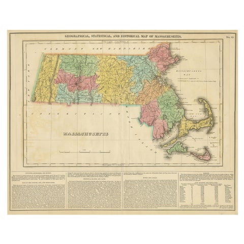
Antique Geographical, Historical and Statistical Map of Massachusetts, 1822
1822
$425
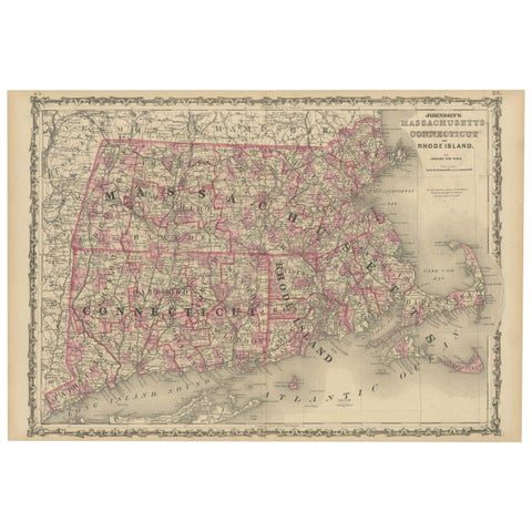
Rare 1864 Civil War Era Map of Massachusetts, Connecticut, and Rhode Island
1864
$405
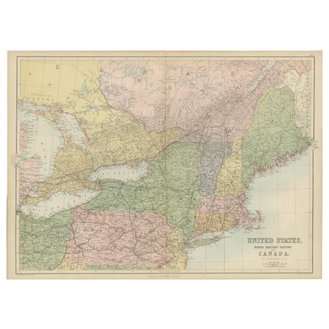
Antique Map of The United States and Canada by A & C. Black, 1870
1870 · Adam & Charles Black
$280
★
More of New England