Original antique
Maps
★ 638 original pieces ★
Original antique maps, each removed from the atlas or book it was published in, or issued as a separate sheet. Never reproductions.
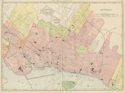
Antique Map of Montreal, with Mount Royal Park, Rand McNally, 1899
1899 · Rand McNally
$385
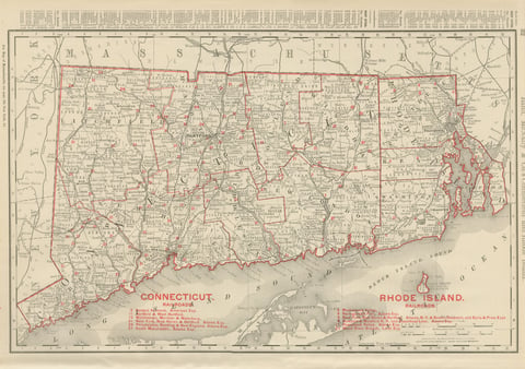
Antique Map of Connecticut and Rhode Island, with Narragansett Bay, 1899
1899 · Rand McNally
$385

Antique Map of Central America, with Proposed Nicaragua Canal, 1899
1899 · Rand McNally
$385
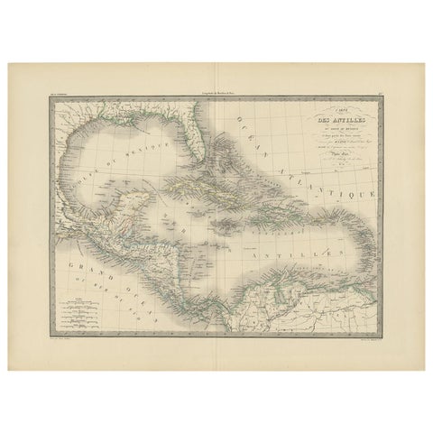
Antique Map of the Antilles by Pierre M. Lapie, Mid-19th Century
$380
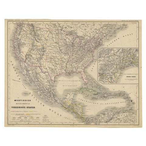
Old German Map of the United States, Central America and the West Indies, c.1870
1870
$380
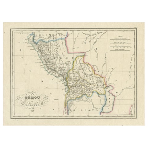
Antique Map of Peru and Bolivia, 1836
1836
$380
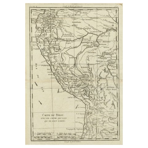
Map of the Western Coast of South America from Ecuador into Chili, ca.1780
1780 · Jacques-Nicolas Bellin
$380
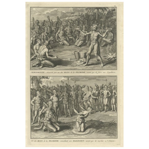
Two Engravings of an Florida King of the Indians in America, 1722
1722
$380
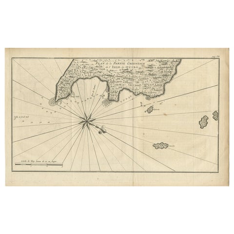
Antique Map of Coiba Island, Panama, South America, C.1740
1740 · Guillaume Delisle
$380
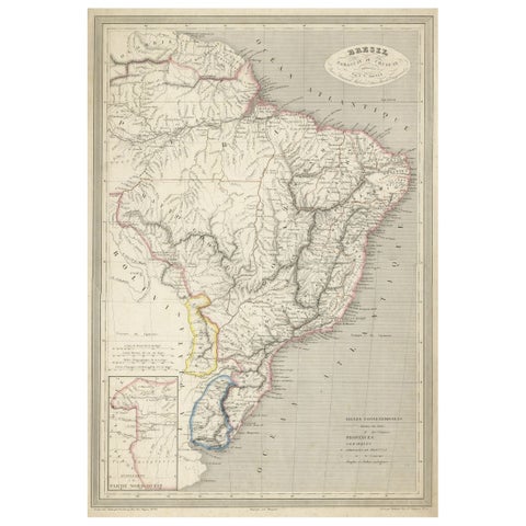
Antique Map of of Brazil, Paraguay and Uruguay
1837
$380
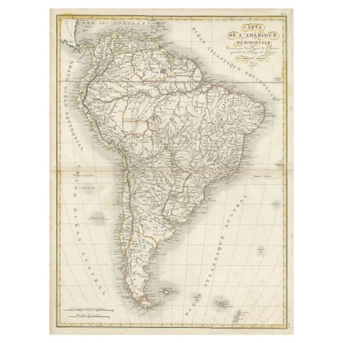
Scarce Antique Map of South America
1821
$380
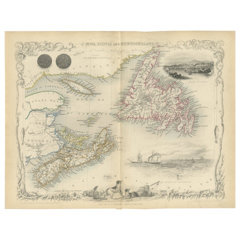
A Decorative Map of Nova Scotia and Newfoundland by John Tallis, 1851
1851 · John Tallis
$380
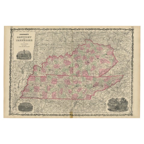
Civil War Era Map of Kentucky and Tennessee with Scenic Insets, Published 1864
1864
$380
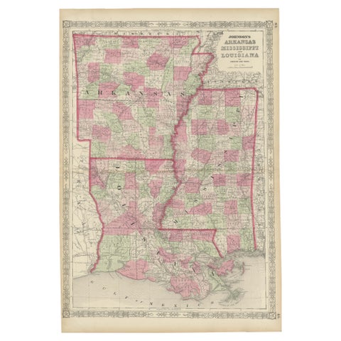
Rare 1864 Civil War Era Map of Arkansas, Mississippi, and Louisiana
1864
$380
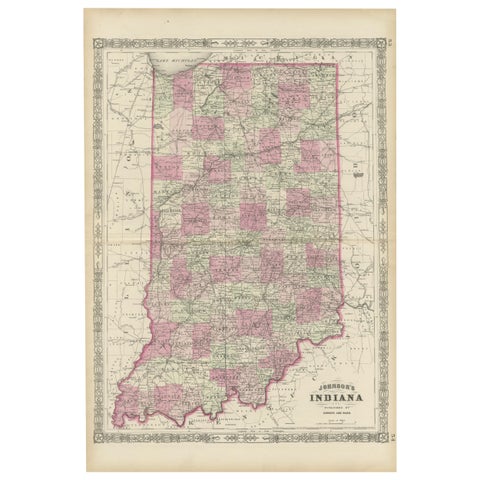
Decorative 1864 Civil War Era Map of Indiana with Lake Michigan Detail
1864
$380
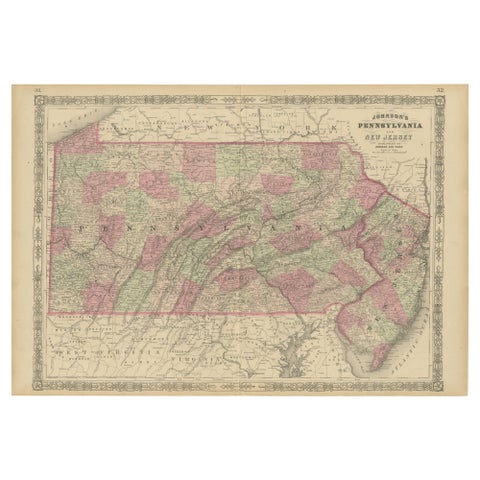
Historic 1864 Civil War Map of Pennsylvania and New Jersey with Coastal Focus
1864
$380
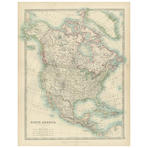
Explore North America in 1903 - Intricately Detailed Antique Map
1903 · W. & A. K. Johnston
$380
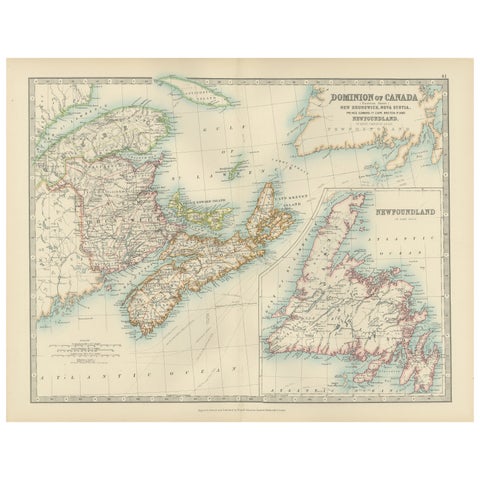
Canada Dominion Map 1903 - A Detailed View of Eastern Canada and Newfoundland
1903 · W. & A. K. Johnston
$380
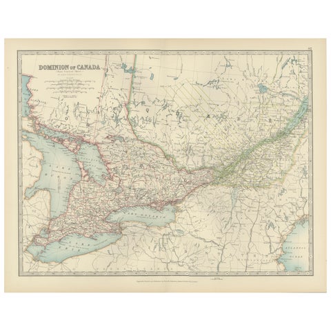
Canada Map 1903 - East Central Dominion - Ontario, Quebec & More
1903 · W. & A. K. Johnston
$380
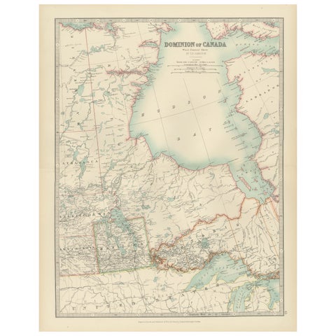
Canada Map 1903 - Dominion of Canada, West Central Sheet
1903 · W. & A. K. Johnston
$380
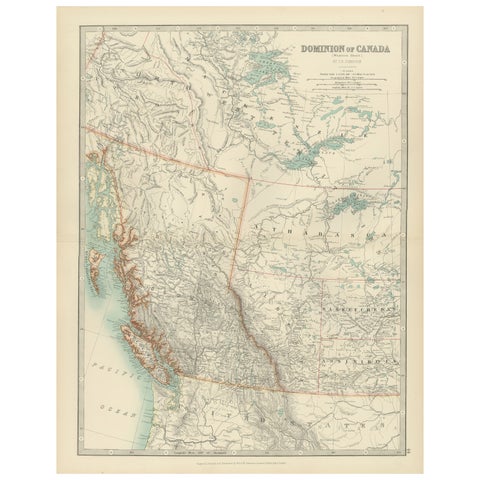
Canada’s West – 1903 Engraved Map by Johnston – Unique and Historic
1903 · W. & A. K. Johnston
$380
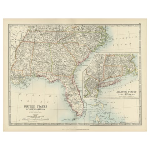
Map of the Southeastern USA and Atlantic States – Vintage 1903 Geography
1903 · W. & A. K. Johnston
$380
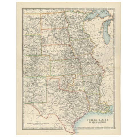
Map of United States Central Sheet 1903 – Railroads, States, and Topography
1903 · W. & A. K. Johnston
$380
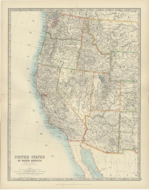
Map of Western United States 1903 – Railroads, State Borders, and Terrain
1903 · W. & A. K. Johnston
$380