Original antique
Maps
★ 638 original pieces ★
Original antique maps, each removed from the atlas or book it was published in, or issued as a separate sheet. Never reproductions.
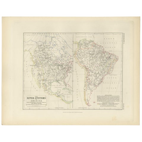
Antique Map of the River Systems of America by Johnston, '1850'
1850 · W. & A. K. Johnston
$225
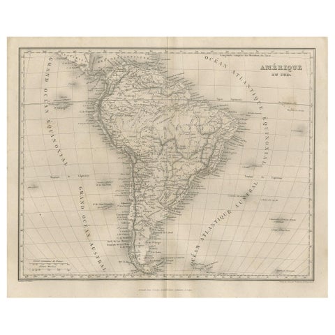
Antique Map of South America by Balbi '1847'
1847
$225
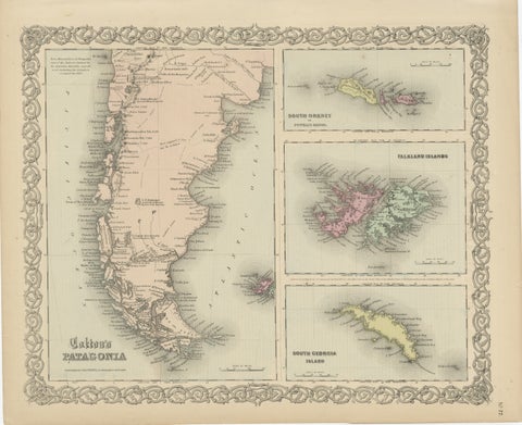
1855 Colton's Map of Patagonia with South Atlantic Islands Insets
1855 · J. H. Colton
$225
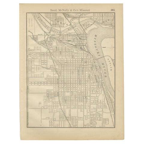
Antique Kansas City Map Wall Art – Missouri–Kansas Border, Rand McNally, ca.1888
1888 · Rand McNally
$225
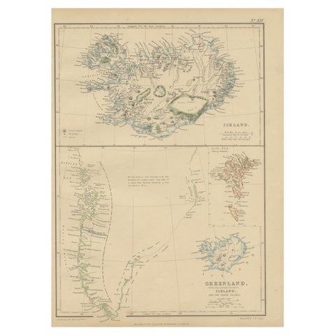
1859 Antique Arctic Vista: Greenland, Iceland and Faroe Islands, Blackie's Atlas
1859
$215
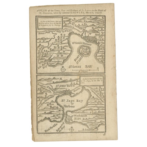
Antique Map of Fort Saint Louis and Santiago de Cuba, 1748
1748
$215
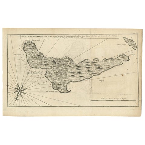
Antique Map of Juan Fernandez, Chile, c.1740
1740
$215
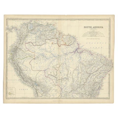
Antique Map of South America by Johnston, 1861
1861 · W. & A. K. Johnston
$215
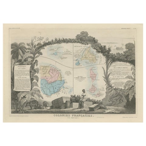
Map of French Colonies in the Americas: St. Martin, French Guiana and St. Pierre
$215
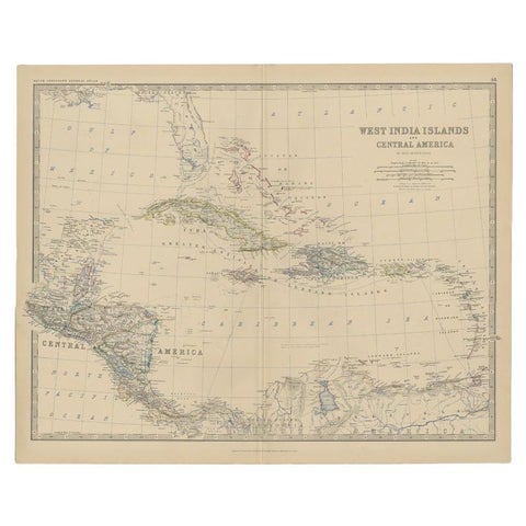
Antique Map of Central America and the West Indies, 1882
1882 · W. & A. K. Johnston
$200
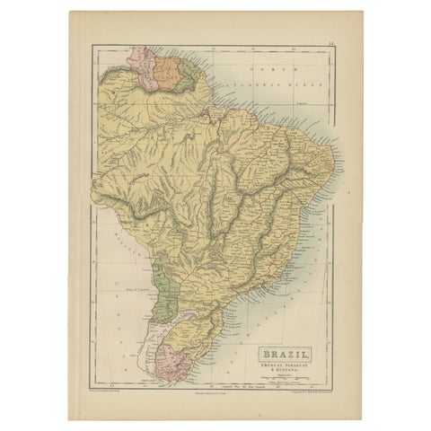
Antique Map of Brazil, Uruguay, Paraguay and Guyana by A & C. Black, 1870
1870 · Adam & Charles Black
$195
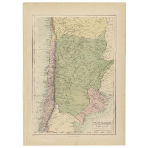
Antique Map of Chile, La Plata and Part of Bolivia by A & C. Black, 1870
1870 · Adam & Charles Black
$195
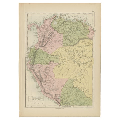
Antique Map of Venezuela, New Granada, Ecuador and Peru by a & C. Black, 1870
1870 · Adam & Charles Black
$195
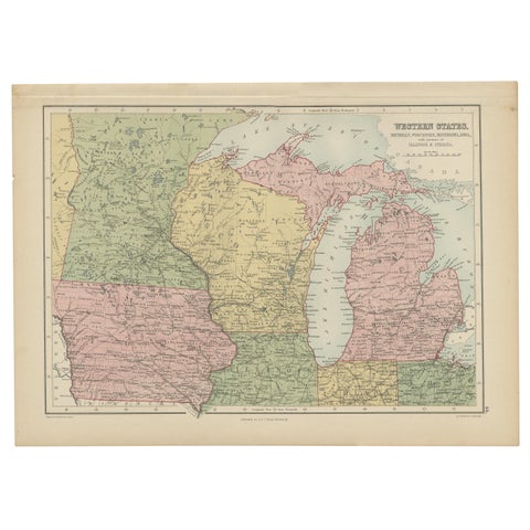
Antique Map of Western States, Michigan, Wisconsin, Iowa by A & C. Black, 1870
1870 · Adam & Charles Black
$195
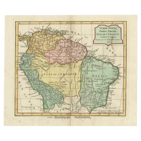
Antique Map of the Northern Part of South America by Delamarche, 1806
1806 · Robert de Vaugondy
$195
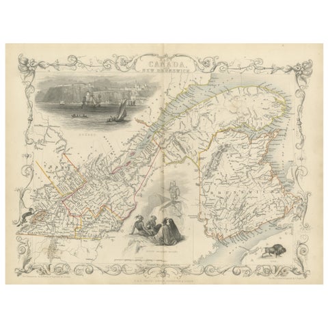
Decorative 1850s Map of Eastern Canada and New Brunswick with Historic Vignettes
John Tallis
$190
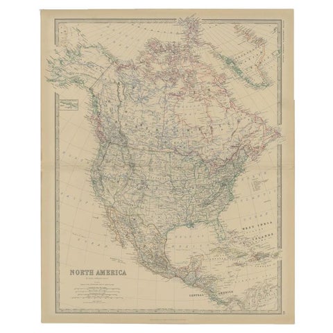
Antique Map of North America by Johnston, 1882
1882 · W. & A. K. Johnston
$180
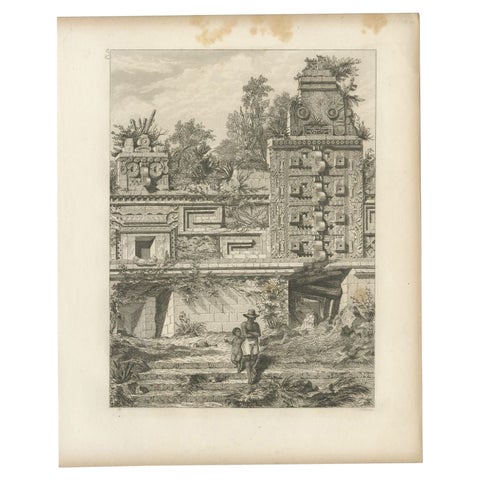
Antique Print of a Ruin in Peru, South America, 1857
1857
$180
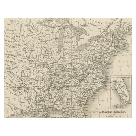
Steel Engraved Map of the United States with Inset Map of Florida
$180
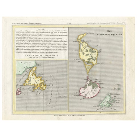
Newfoundland and St. Pierre & Miquelon: Early 19th Century French Map
$180
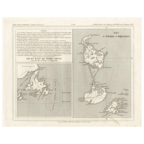
Newfoundland and St. Pierre & Miquelon: Uncolored French Map of circa 1820
1820
$180
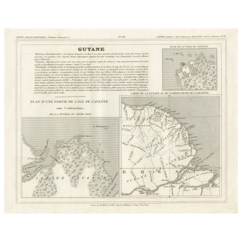
Map of French Guiana, Suriname and Cayenne: Plan from Petit Atlas National, 1820
1820
$180
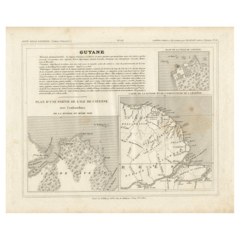
Map of Guyane (French Guiana) with Cayenne, circa 1826
1826
$180
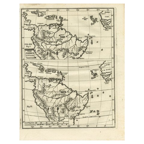
Antique Map of South America by Scherer, c.1700
1700 · Thomas Kitchin
$170