Original antique maps & prints of
Canada & the North
★ 64 original pieces ★
New France, Acadia, Hudson's Bay and the British North American provinces: original maps and views of Canada and the Arctic, from the French and Dutch mapmakers to the Victorian atlases.
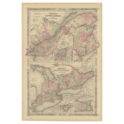
Historic 1864 Civil War Era Map of Canada with Great Lakes Detail
1864
$405
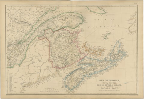
Antique Map of New Brunswick, Nova Scotia, Prince Edward Island and Canada East
$405
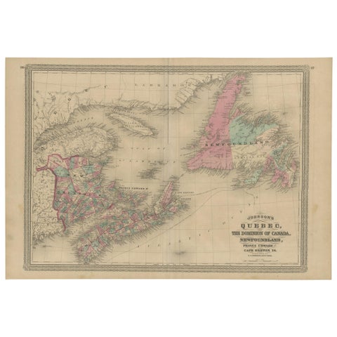
Antique Map of New Brunswick, Nova Scotia and Surroundings by Johnson, 1872
1872 · A. J. Johnson
$390
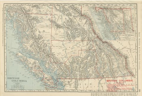
Antique Map of British Columbia, with Queen Charlotte Islands, 1899
1899 · Rand McNally
$385
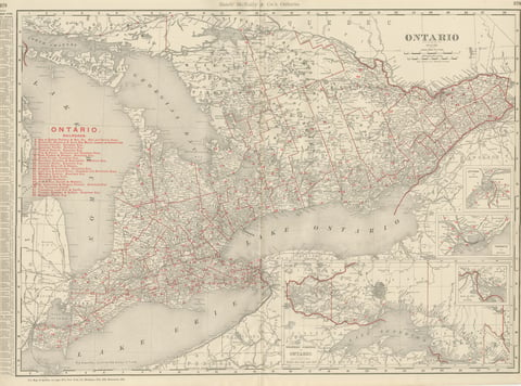
Antique Map of Ontario, with Toronto and Ottawa Insets, Rand McNally, 1899
1899 · Rand McNally
$385
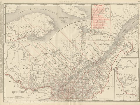
Antique Map of Quebec, with Gaspé Inset, Rand McNally, 1899
1899 · Rand McNally
$385
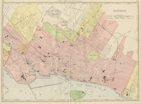
Antique Map of Montreal, with Mount Royal Park, Rand McNally, 1899
1899 · Rand McNally
$385
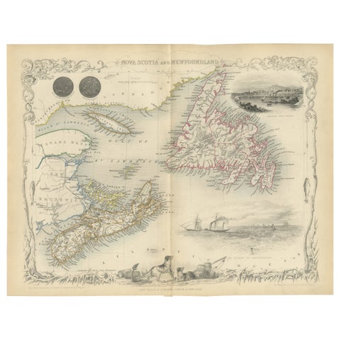
A Decorative Map of Nova Scotia and Newfoundland by John Tallis, 1851
1851 · John Tallis
$380
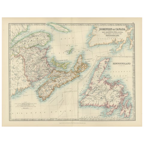
Canada Dominion Map 1903 - A Detailed View of Eastern Canada and Newfoundland
1903 · W. & A. K. Johnston
$380
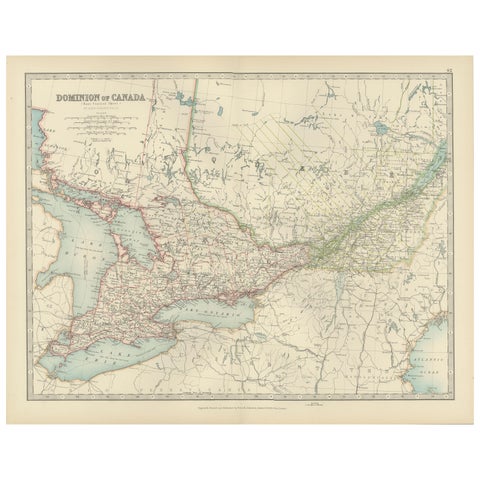
Canada Map 1903 - East Central Dominion - Ontario, Quebec & More
1903 · W. & A. K. Johnston
$380
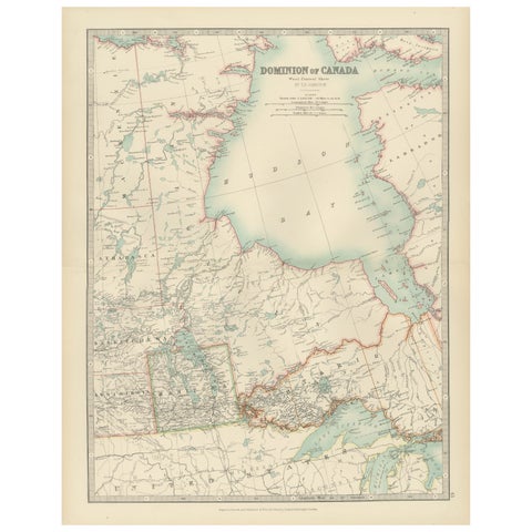
Canada Map 1903 - Dominion of Canada, West Central Sheet
1903 · W. & A. K. Johnston
$380
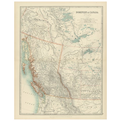
Canada’s West – 1903 Engraved Map by Johnston – Unique and Historic
1903 · W. & A. K. Johnston
$380
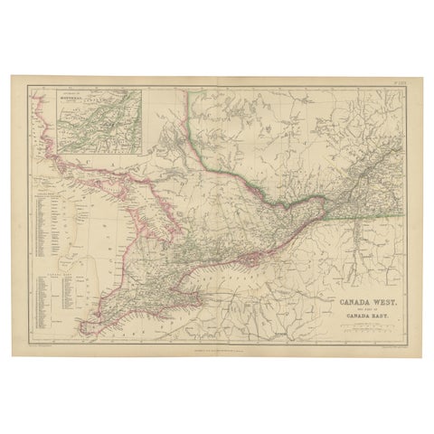
Canada West and Part of Canada East, Antique Map, Great Lakes Region, 1859
1859
$360
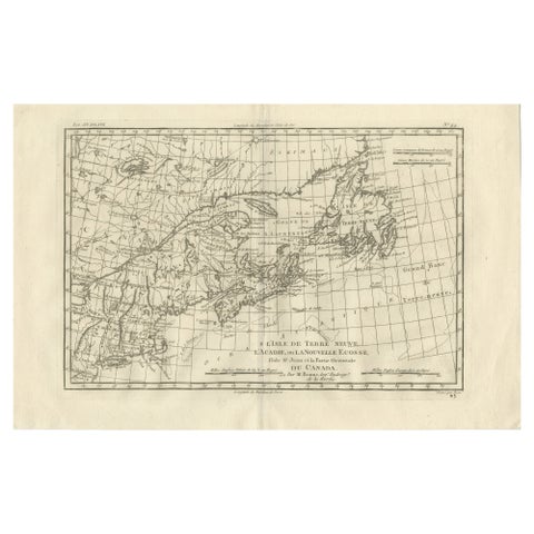
Antique Map of Canada, Newfoundland & Acadia, Gulf of St Lawrence, Bonne c.1780
1780 · Rigobert Bonne
$355
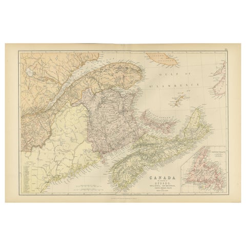
Antique Map of Eastern Canada, Blackie Atlas, 1882, Detailed Geography
1882
$335
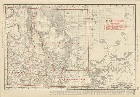
Antique Map of Manitoba, with Lake Winnipeg, Rand McNally, 1899
1899 · Rand McNally
$330
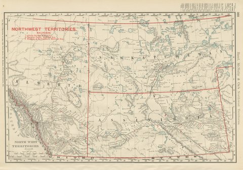
Antique Map of the North West Territories, Before Alberta and Saskatchewan, 1899
1899 · Rand McNally
$330
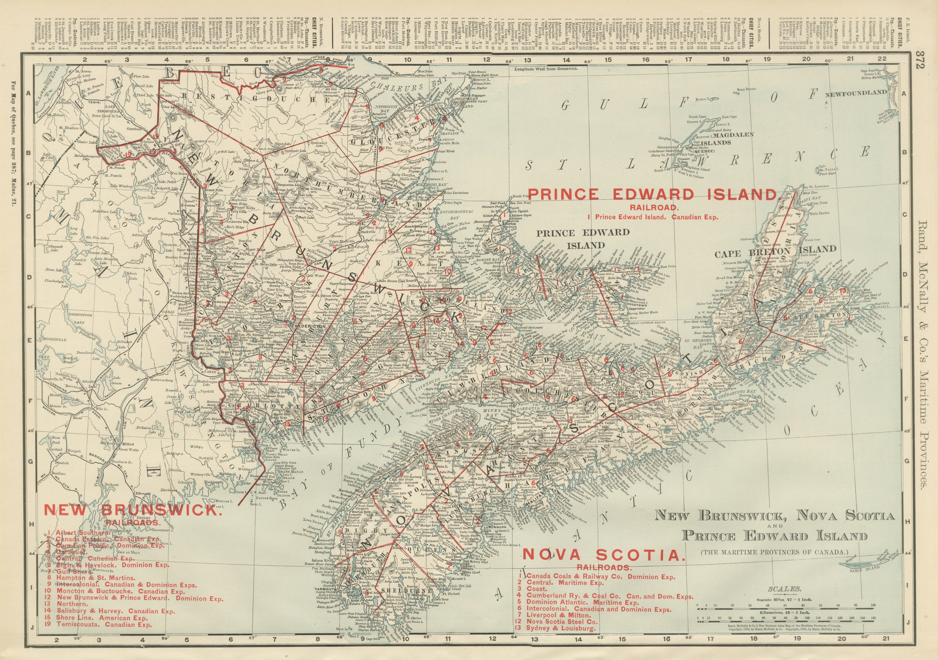
Antique Maritimes Map, New Brunswick, Nova Scotia and Prince Edward Island, 1899
1899 · Rand McNally
$330
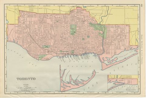
Antique Map of Toronto, with Queen's Park, Rand McNally, 1899
1899 · Rand McNally
$330
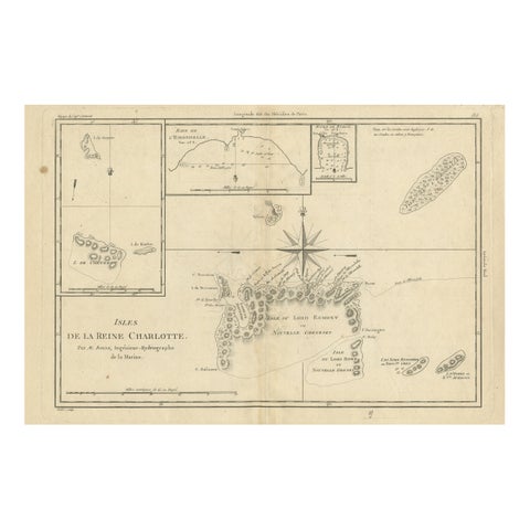
Antique Map of the Queen Charlotte Islands, Haida Gwaii
circa 1787 · Rigobert Bonne
$325
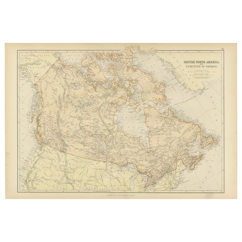
Antique Map of British North America, The Dominion of of Canada, 1882
1882
$325
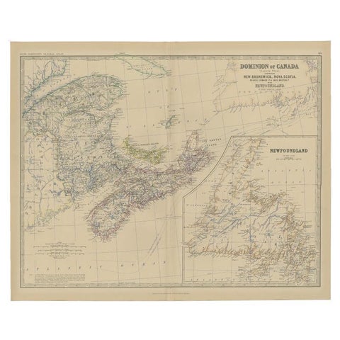
Antique Map of Eastern Canada with an inset Map of Newfoundland, 1882
1882 · W. & A. K. Johnston
$315
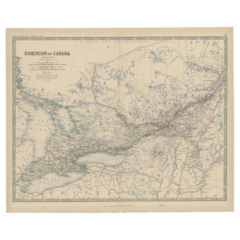
Old Original Antique Map of Western Canada, 1882
1882 · W. & A. K. Johnston
$315
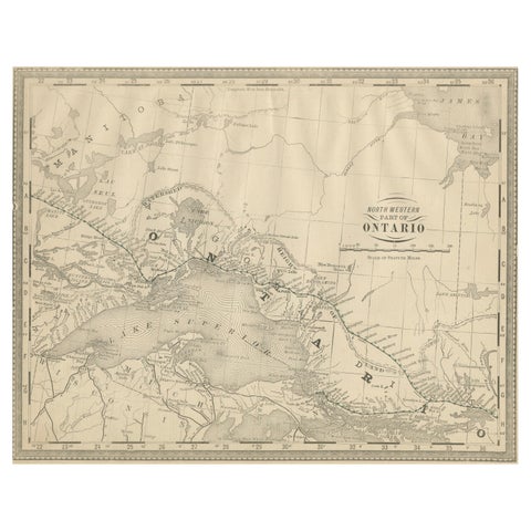
Antique Ontario Map Wall Art – Lake Superior & Northern Ontario, ca.1888
1888 · Rand McNally
$315