Original antique maps & prints of
Canada & the North
★ 102 original pieces ★
New France, Acadia, Hudson's Bay and the British North American provinces: original maps and views of Canada and the Arctic, from the French and Dutch mapmakers to the Victorian atlases.
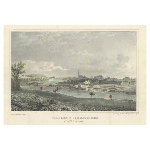
Picturesque View of the Village of St. Hyacinthe, Quebec: Lithograph c.1830
1830
$235
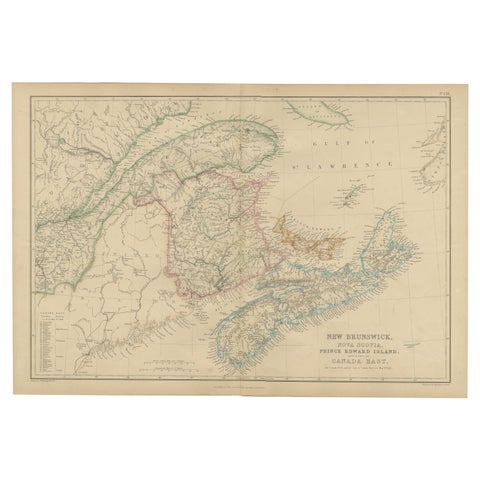
New Brunswick, Nova Scotia, Prince Edward Island, Antique Map, Canada East 1859
1859
$235
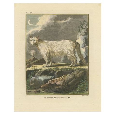
The White Fox of Canada – Elegant Arctic Wildlife Engraving Under Moonlight 1801
1801
$235
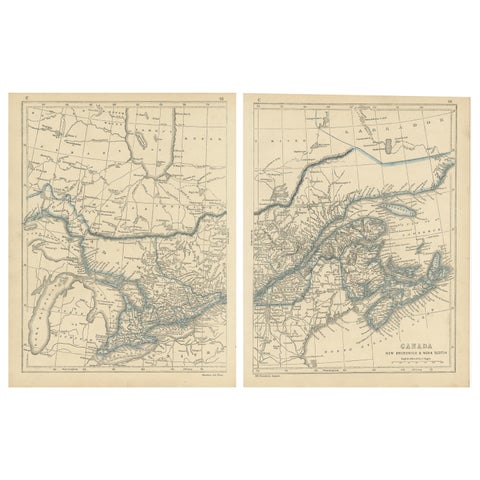
Antique Map of Canada, New Brunswick and Nova Scotia by Lowry, 1852
1852
$225
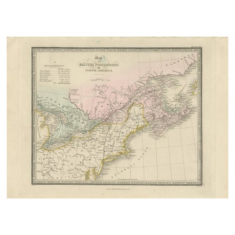
Antique Map of the British Possessions in North America by Wyld '1845'
1845
$225
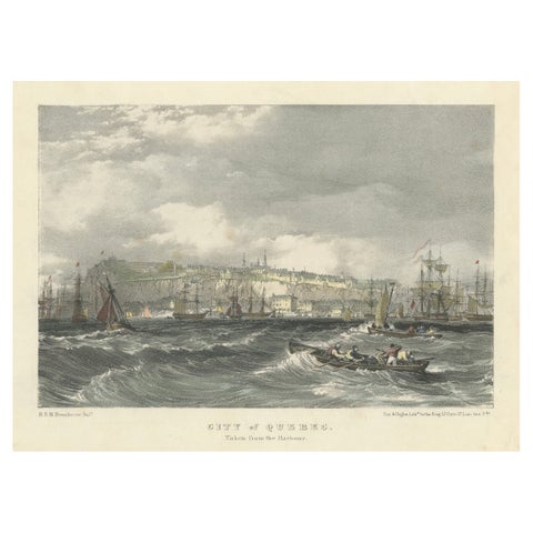
City of Quebec from the Harbour: A Vibrant 19th-Century Maritime Lithograph
$200
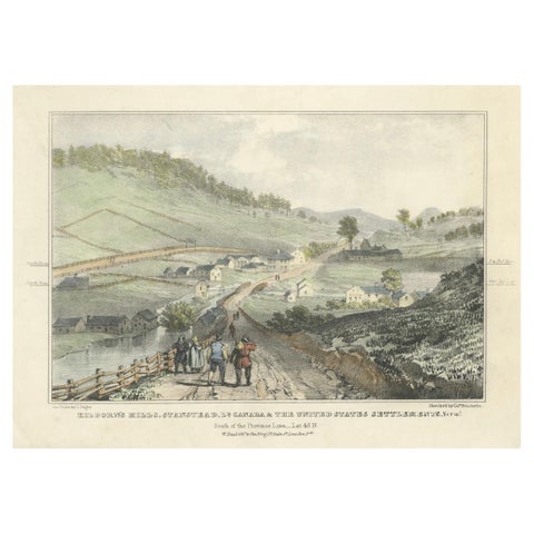
Kilborn's Mills at the Canada-U.S. Border: Hand-Colored 19th-Century Lithograph
$200
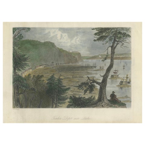
Engraving of a Wood Depot on the St Lawrence River near the City of Quebec, 1850
1850
$190
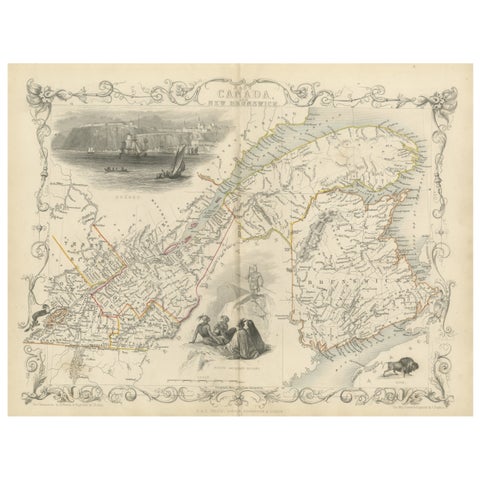
Decorative 1850s Map of Eastern Canada and New Brunswick with Historic Vignettes
John Tallis
$190
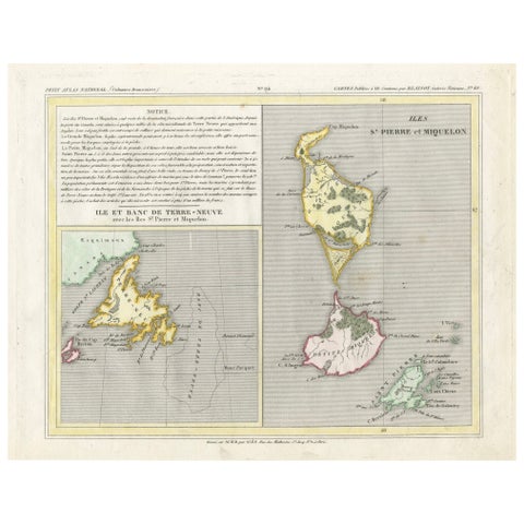
Newfoundland and St. Pierre & Miquelon: Early 19th Century French Map
$180
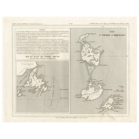
Newfoundland and St. Pierre & Miquelon: Uncolored French Map of circa 1820
1820
$180
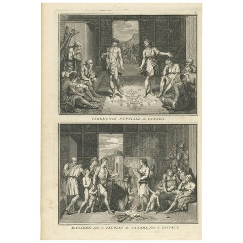
Antique Print of Wedding and Divorce Customs in Canada by B. Picart, 1723
1723 · Theodor de Bry
$160
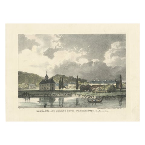
Fredericton's Barracks and Market House: Hand-Colored 1831 Lithograph
1831
$155
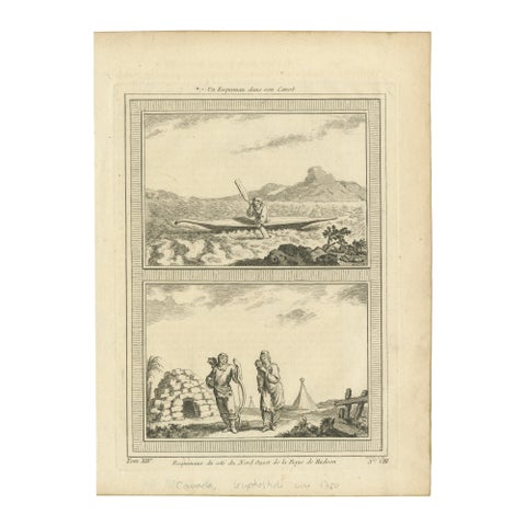
1757 Engraving of Inuit & Indigenous Peoples – Hudson Bay & Arctic Canoe Scene
1757
$155
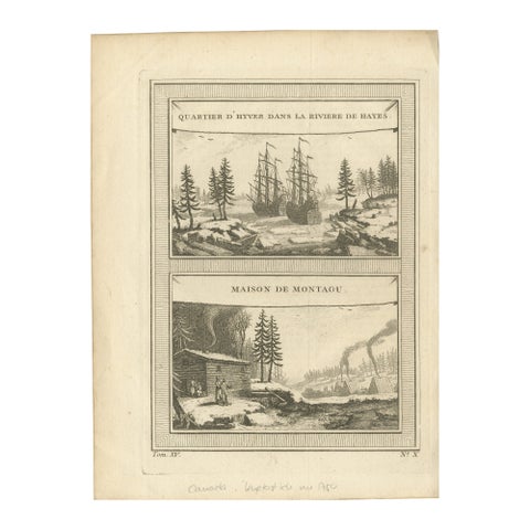
1757 Engraving of Hudson Bay – Winter Encampment & Early Settler Cabin
1757
$155
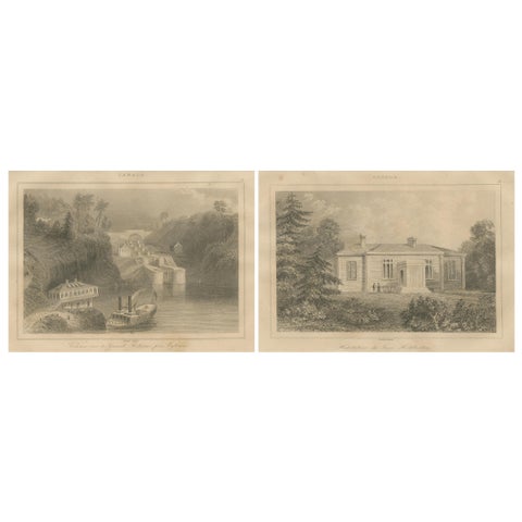
Rideau Canal Locks and Haliburton’s Residence – Pair of Canadian Views, ca.1850
1850
$155
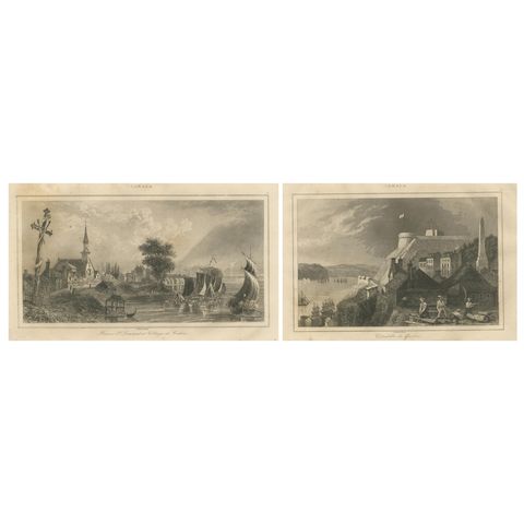
Village of Cedars and Quebec Citadel – Pair of 19th Century Canadian Views
circa 1850
$155
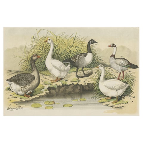
Old Print Showing Various Geese; Canada Goose, Snow Goose, Brant Goose Etc, 1886
1886
$145
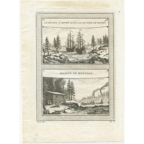
Antique Print of the Region of the Hayes river, Northern Manitoba, Canada, 1759
1759
$145
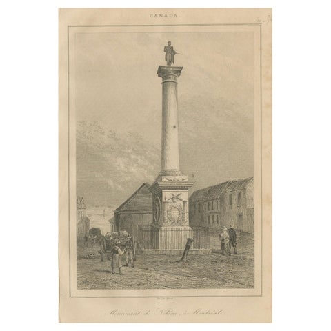
Antique Print of Nelson’s Monument in Montreal – 19th Century Canada Scene
circa 1850
$145
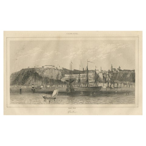
Antique View of Quebec City from the Water – Canadian Harbour Scene, c.1850
1850
$145
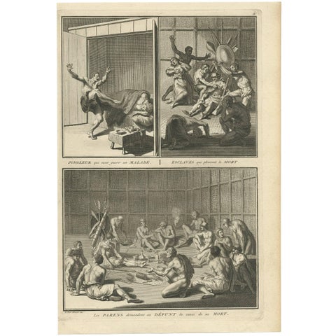
Antique Print of Indians from Canada by B. Picart, 1723
1723 · Theodor de Bry
$140
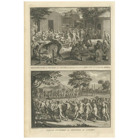
Antique Print of Funeral Ceremonies of the Canadian People by B. Picart, 1723
1723 · Theodor de Bry
$140
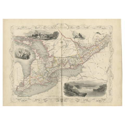
A 19th-Century Map of West Canada with Niagara Falls and Indigenous Scenes
circa 1850 · John Tallis
$125