Original antique maps & prints of
Canada
★ 123 original pieces ★
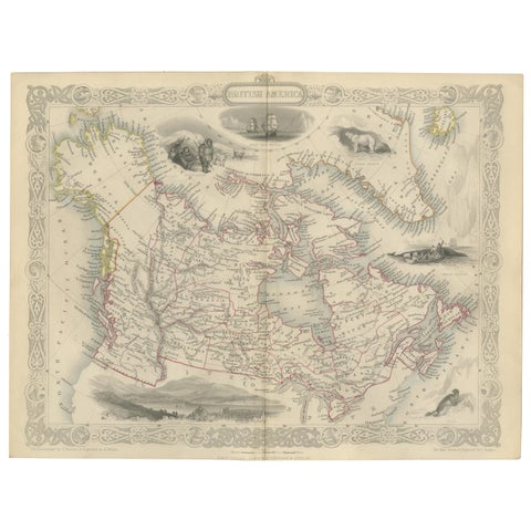
Antique Map of British America by Tallis 'c.1850'
1850 · John Tallis
$560
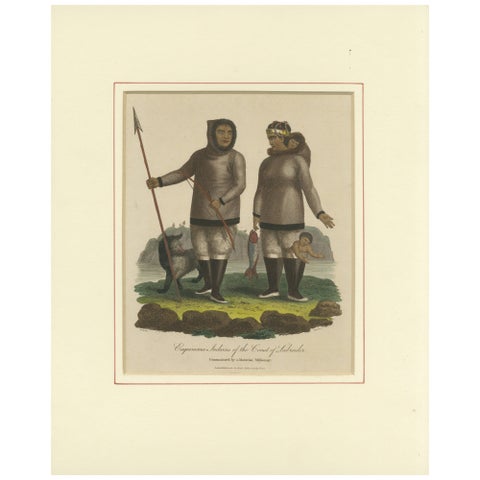
Inuit Eskimo Life: An 1812 Moravian Missionary's Account from the Labrador Coast
1812
$550
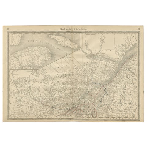
Quebec Antique Railroad Map c.1888 – La Belle Province, Cities & Towns
1888 · Rand McNally
$515
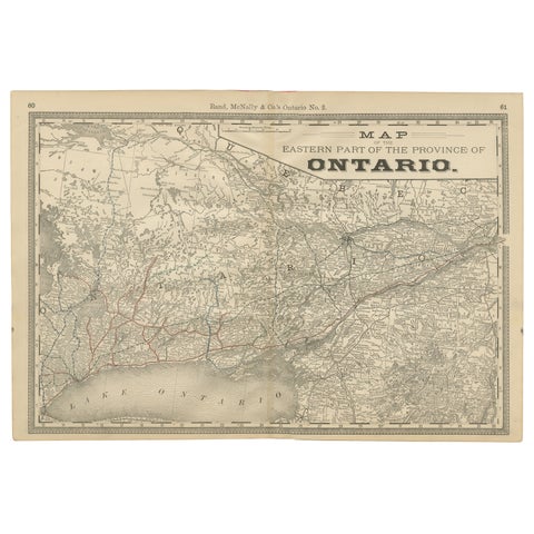
Eastern Ontario Antique Map c.1888 – The Heartland Province, Railroads
1888 · Rand McNally
$515
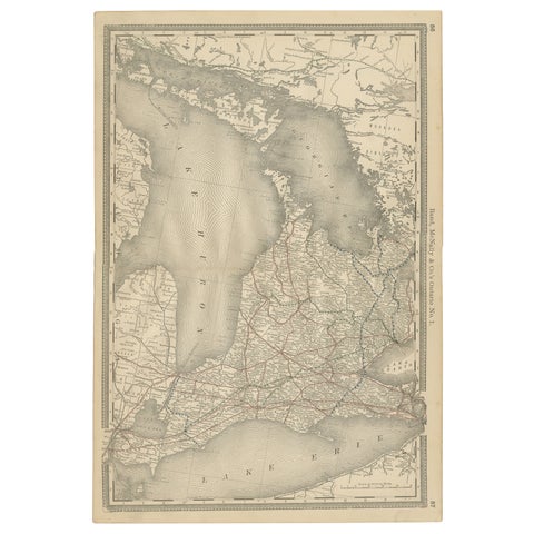
Ontario Antique Map c.1888 – Western Counties, Heartland Province Railroads
1888 · Rand McNally
$515
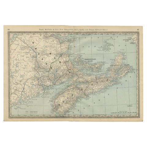
Nova Scotia, New Brunswick & Prince Edward Island Antique Map c.1888
1888 · Rand McNally
$515
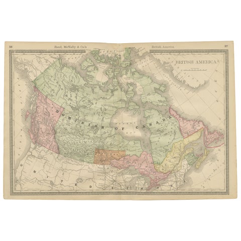
Canada Antique Railroad Map c.1888 – British America, Cities & Regions
1888 · Rand McNally
$515
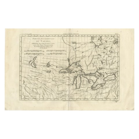
Great Lakes Antique Map, Canada, Midwest USA, Enlightenment Era, Bonne c.1780
1780 · Rigobert Bonne
$480
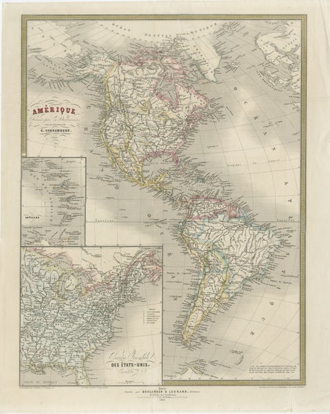
French Map of the Americas by Cortambert – North & South America 1864
1864
$445
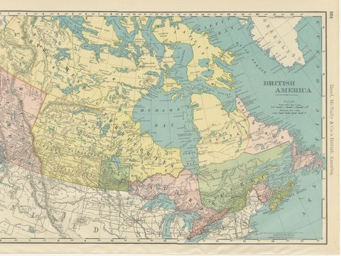
Antique Map of British America, with Hudson Bay, Rand McNally, 1899
1899 · Rand McNally
$440
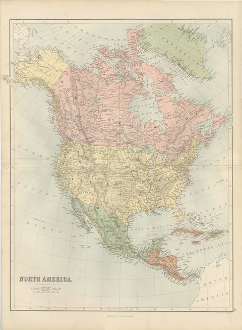
Antique North America Map, Canada, USA, Mexico, Bartholomew, 1884
1884 · Adam & Charles Black
$440
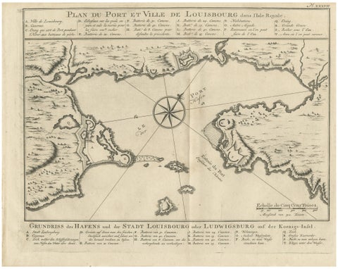
Plan of Louisbourg Harbor and Fortress, Cape Breton Island, c.1756
1756 · Jacques-Nicolas Bellin
$440
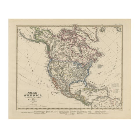
United States, Canada & Mexico – 1857 North America Map
1857 · Stieler
$415
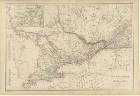
Antique Map of Canada West and Part of Canada East, Ontario & Quebec, 1860
1860
$415
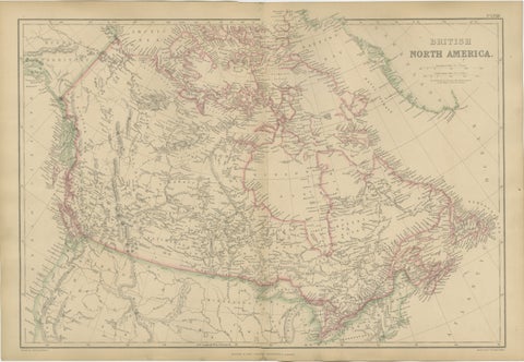
Antique Map of British North America, Canada and Hudson Bay, 1860
1860
$415
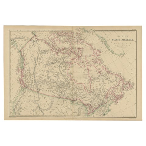
British North America, Antique Map of Canada and Arctic Regions, Blackie, 1859
1859
$405
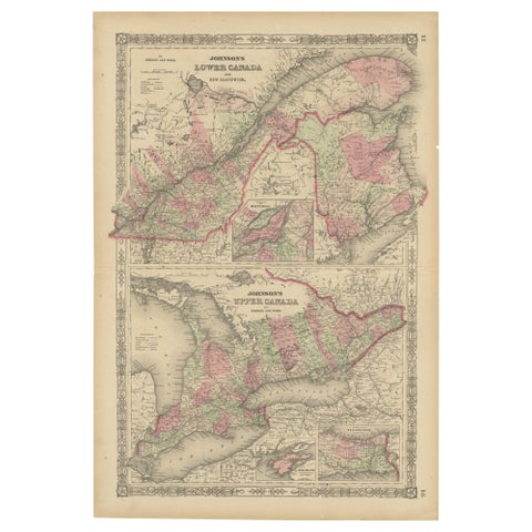
Historic 1864 Civil War Era Map of Canada with Great Lakes Detail
1864
$405
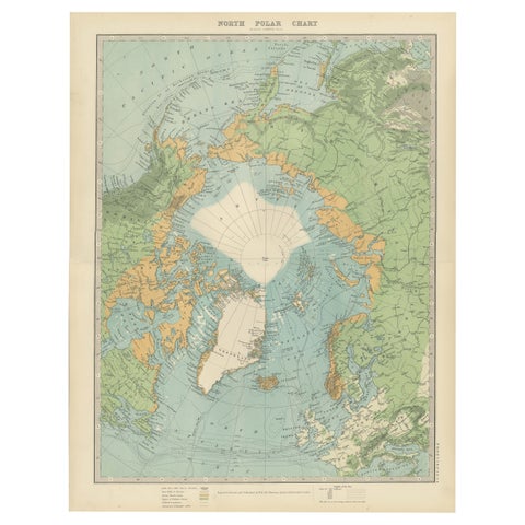
Vintage North Polar Chart – Greenland & Arctic Exploration Routes, 1903
1903
$405
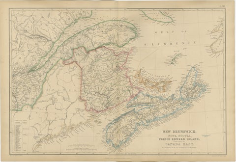
Antique Map of New Brunswick, Nova Scotia, Prince Edward Island and Canada East
$405
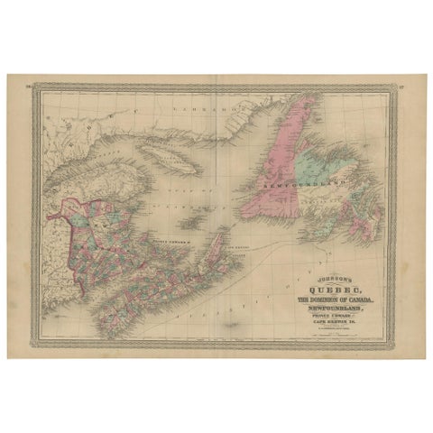
Antique Map of New Brunswick, Nova Scotia and Surroundings by Johnson, 1872
1872 · A. J. Johnson
$390
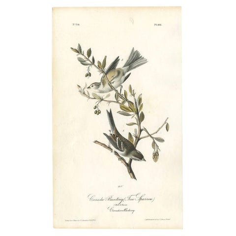
Antique Bird Print of the Canada Bunting by Audubon, c.1840
1840 · John James Audubon
$390
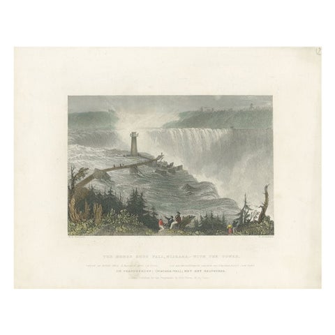
Antique Print of the Horseshoe Falls by Brandard, c.1840
1840
$390
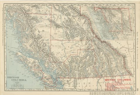
Antique Map of British Columbia, with Queen Charlotte Islands, 1899
1899 · Rand McNally
$385
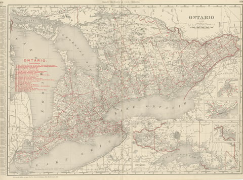
Antique Map of Ontario, with Toronto and Ottawa Insets, Rand McNally, 1899
1899 · Rand McNally
$385