Original antique maps & prints of
Canada
★ 123 original pieces ★
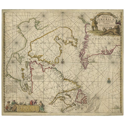
Antique Sea Chart of Hudson Bay and Arctic Canada by Van Keulen, circa 1681
1681 · Van Keulen
$5,315
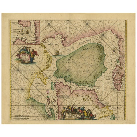
Greenland & North America – Antique Sea Chart by Frederick de Wit, 1745
1745 · Frederick de Wit
$3,920
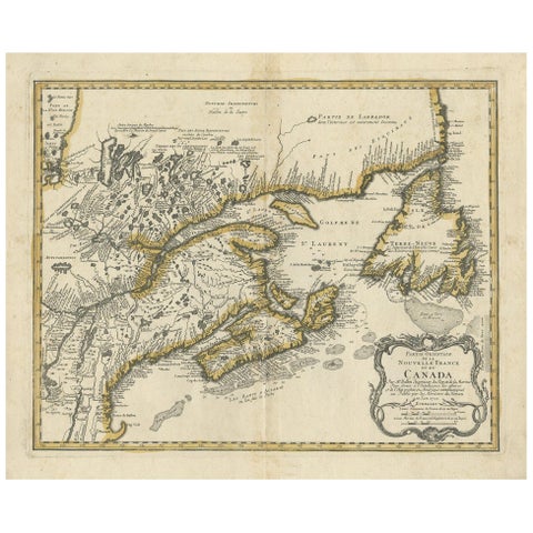
Antique Map of New England and Eastern Canada by Homann Heirs, circa 1755
1755 · Homann Heirs
$2,240
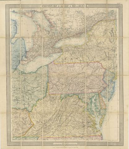
American Civil War “Seat of War” Map, Published Just After Bull Run, 1861
1861
$2,170
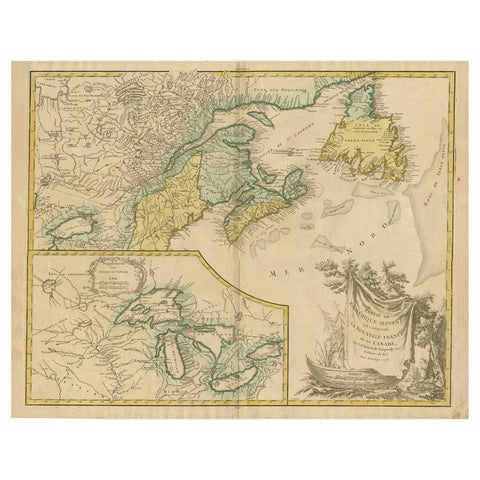
Antique Map of New England and Part of Canada by Vaugondy 'circa 1755'
1755 · Robert de Vaugondy
$1,960
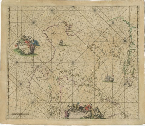
1690 Frederick de Wit Sea Chart of Hudson Bay, Baffin Bay and Greenland
1690 · Frederick de Wit
$1,500
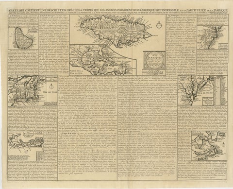
Rare French Colonial America Map, Jamaica Barbados Carolina, c.1719
1719
$1,450
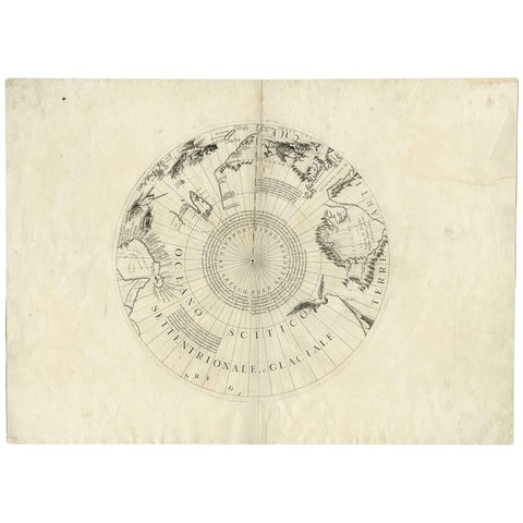
Greenland & the North Pole – Antique Polar Map by V.M. Coronelli, c.1692
1692
$1,445
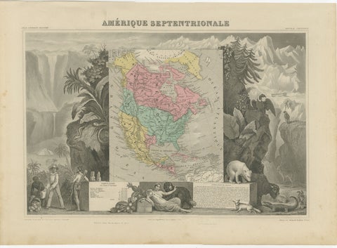
Antique Map North America, Texas Republic, Decorative Levasseur Atlas, c.1845
1845
$1,400
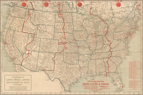
1930s AM Radio Map of US, Canada, Cuba, Mexico – Stations & Frequencies
$1,110
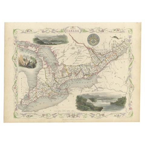
Beautiful Decorative Hand-Colored Antique Map of West Canada, 1851
1851 · John Tallis
$1,065
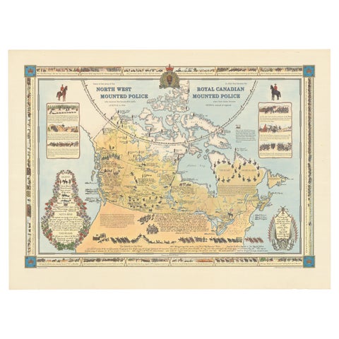
The History of the Royal Canadian Mounted Police, Published in 1966
1966
$1,005
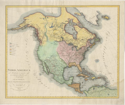
Large Antique Map of North America, United States & Canada, 1806
1806
$955
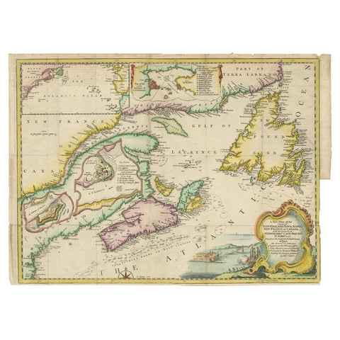
Antique Map Dedicated to British Merchants Trading to North America, ca.1746
1746 · Jacques-Nicolas Bellin
$950
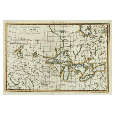
Old Map of the Great Lakes and Upper Mississippi Valley, Northern America, c1780
circa 1780 · Rigobert Bonne
$925
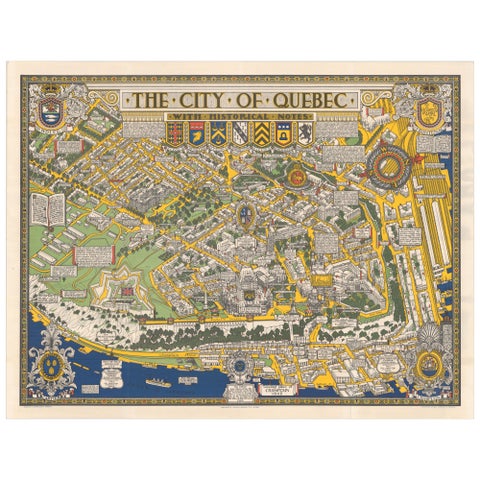
Quebec City Pictorial Map, The City of Quebec with Historical Notes, 1932
1932
$765
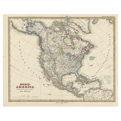
Antique Map with Hand Coloring of North America and the West Indies
1879 · Stieler
$695
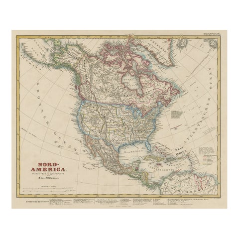
Antique Map of North America Including the West Indies
circa 1859 · Stieler
$650
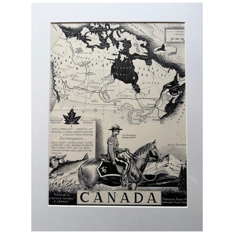
Original 1948 Map of Canada by Charles Burki – Art Deco Mountie Illustration
1948
$650
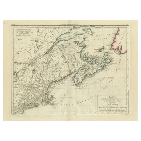
Antique Map of the Northeastern United States and Canada by Tardieu, 1802
1802
$625
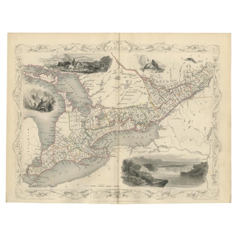
Antique Map of West Canada by Tallis 'c.1850'
1850 · John Tallis
$615
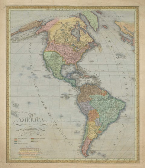
Large Antique Map of North & South America by Weiland, 1826
1826
$610
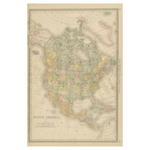
North America Antique Railroad Map c.1888 – U.S., Canada & Mexico
1888 · Rand McNally
$605
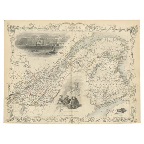
Antique Map of East Canada 'Quebec and New Brunswick' by Tallis 'c.1850'
1850 · John Tallis
$560
Page 1 of 6Next →