Antique maps & prints of the Americas
The Gilded Age
★ 257 original pieces ★
The great commercial atlases of Rand McNally, Cram and Johnson recorded a country covered in railroads. Territories in the West appear as states one after another.
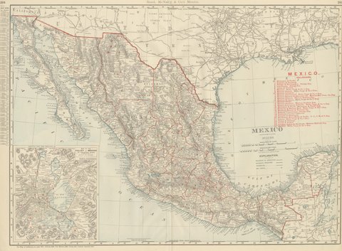
Antique Map of Mexico, with Valley of Mexico Inset, Rand McNally, 1899
1899 · Rand McNally
$440
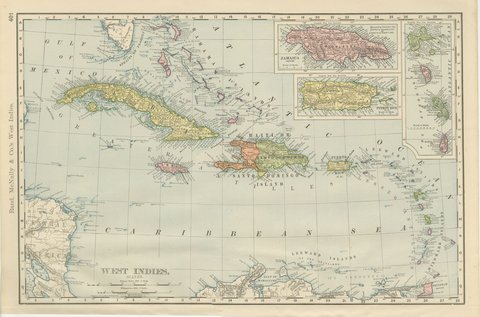
Antique Map of the West Indies, with Cuba, Jamaica and Puerto Rico, 1899
1899 · Rand McNally
$440
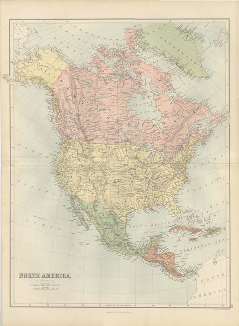
Antique North America Map, Canada, USA, Mexico, Bartholomew, 1884
1884 · Adam & Charles Black
$440
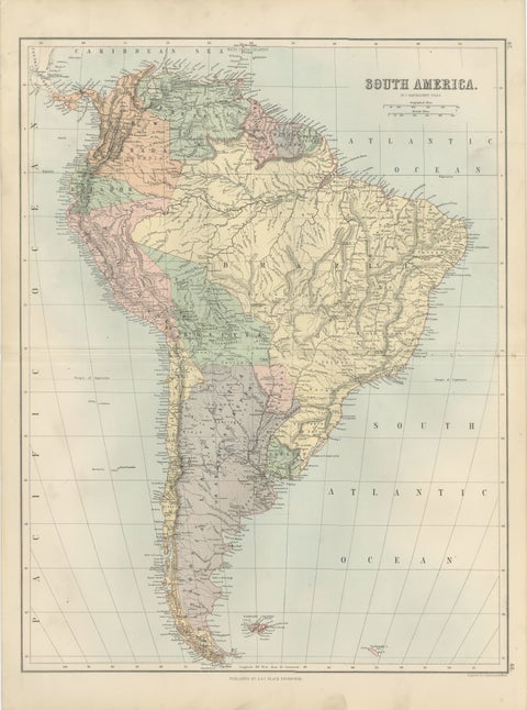
Antique South America Map, Brazil, Argentina, Chile, Bartholomew, 1884
1884 · Adam & Charles Black
$440
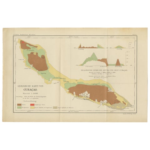
Antique Geological Map of Curaçao - Hand Colored Dutch Caribbean, 1888
1888
$435
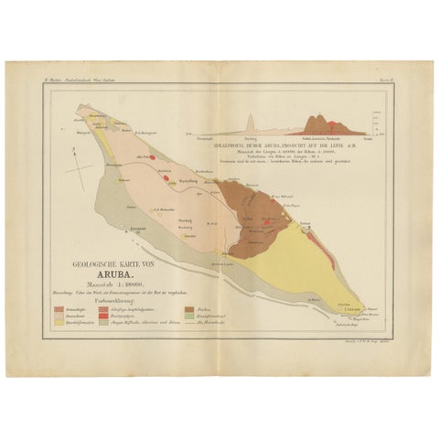
Antique Geological Map of Aruba - Dutch West Indies by Karl Martin, 1888
1888
$435
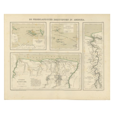
Antique Map of Dutch Colonies in the Caribbean & Suriname by Dornseiffen, 1884
1884
$435
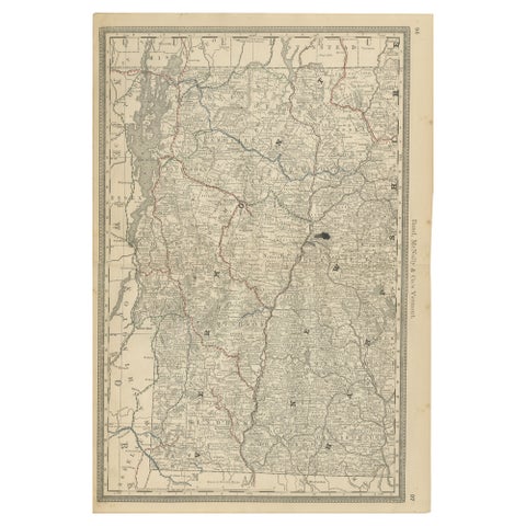
Antique Vermont Map Wall Art – Railroads, Mountains & Towns, Rand McNally, 1888
1888 · Rand McNally
$435
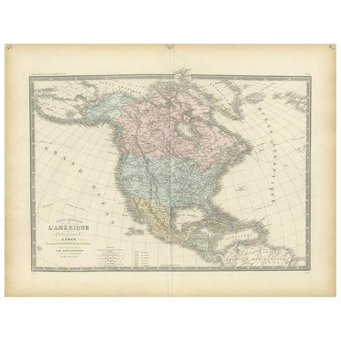
Antique Map of North America by Levasseur, 1875
1875
$430
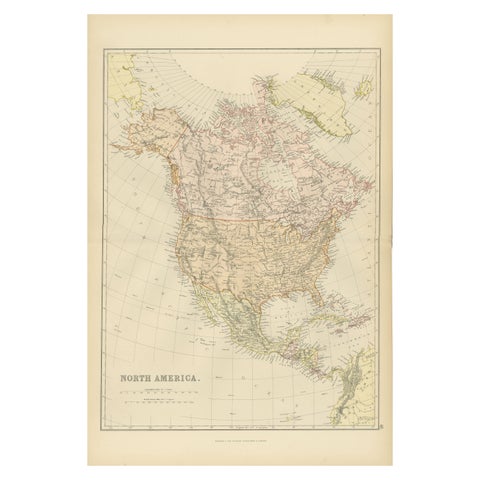
Antique Map of North America by Blackie & Son, Colored, 1882
1882
$415
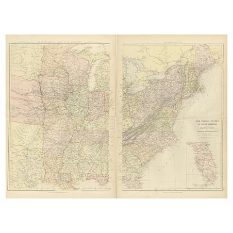
1882 Blackie Atlas Maps: Atlantic States and Mississippi Valley Compilation
1882
$405
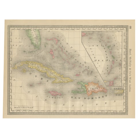
Antique Caribbean Map Wall Art – Cuba Jamaica Hispaniola, Rand McNally, ca.1888
1888 · Rand McNally
$405
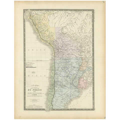
Original Antique Map of Peru in South America, 1875
1875
$390
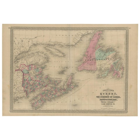
Antique Map of New Brunswick, Nova Scotia and Surroundings by Johnson, 1872
1872 · A. J. Johnson
$390
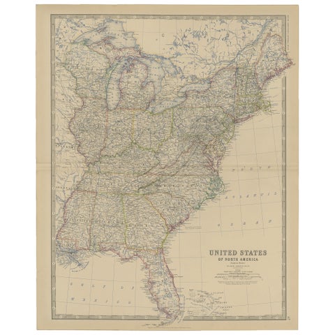
Antique Map of the United States of North America, c.1882
1882 · W. & A. K. Johnston
$390
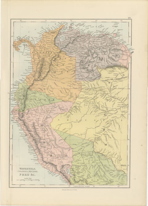
Antique Venezuela, Colombia, Ecuador & Peru Map, Bartholomew, 1884
1884 · Adam & Charles Black
$390
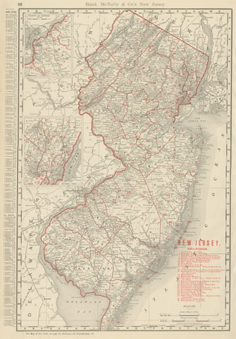
Antique Map of New Jersey, The Garden State, Rand McNally, 1899
1899 · Rand McNally
$385
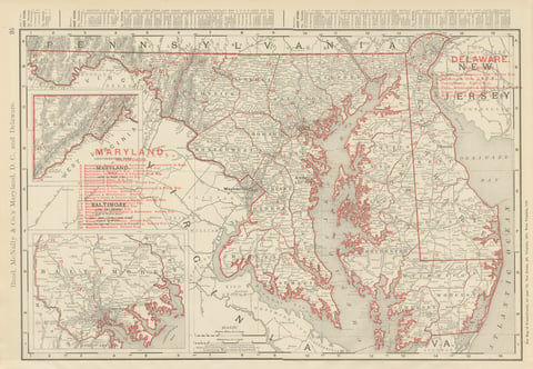
Antique Map of Maryland and Delaware, with Baltimore Inset, Rand McNally, 1899
1899 · Rand McNally
$385
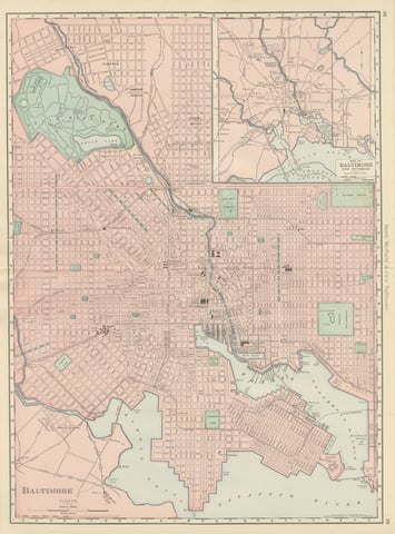
Antique Map of Baltimore, with Druid Hill Park, Rand McNally, 1899
1899 · Rand McNally
$385
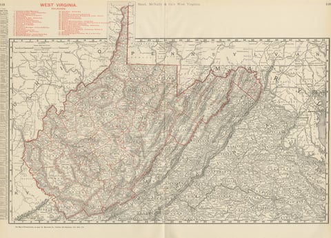
Antique Map of West Virginia, The Mountain State, Rand McNally, 1899
1899 · Rand McNally
$385
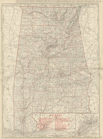
Antique Map of Alabama, The Yellowhammer State, Rand McNally, 1899
1899 · Rand McNally
$385
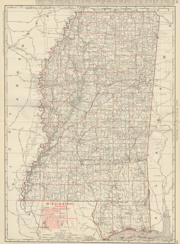
Antique Map of Mississippi, The Magnolia State, Rand McNally, 1899
1899 · Rand McNally
$385
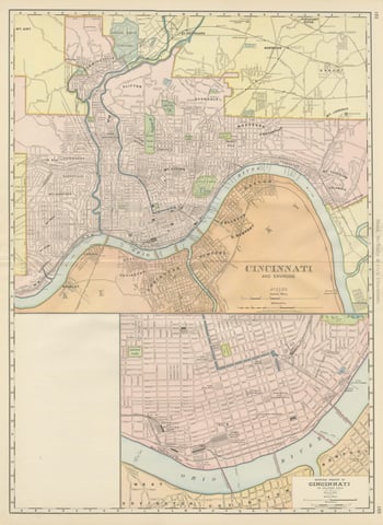
Antique Map of Cincinnati, The Queen City, Rand McNally, 1899
1899 · Rand McNally
$385
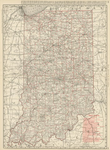
Antique Map of Indiana, The Hoosier State, Rand McNally, 1899
1899 · Rand McNally
$385
★
Other periods