A Bartele Gallery CollectionLangweer · Jakarta

American Maps & Prints
Original antique maps, charts & prints of the Americas ★ Originals only


Antique maps & prints of the Americas

Westward Expansion & Civil War

★ 381 original pieces ★

Texas, Oregon and the Mexican cession, the gold rush and the Civil War: two decades in which the map of the United States changed faster than at any time before or since.
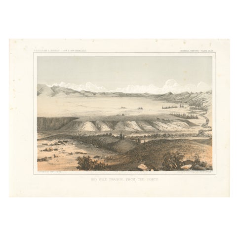
Big Hole Prairie View – Scenic Montana Landscape Print, Published in 1856
1856
$245
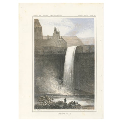
Stunning View of Palouse Falls – Scenic Cascade in Washington, 1856
1856
$245
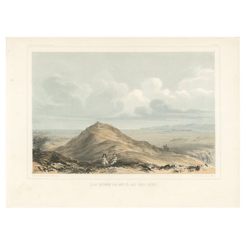
Expansive View of the Plains Between Kah-Wee-Ya and Kings Rivers, 1856
1856
$245
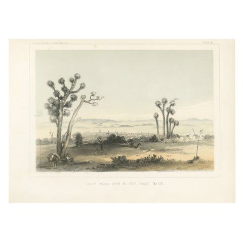
Lost Mountains in the Great Basin with Desert Flora - Mohane, California, 1856
1856
$245
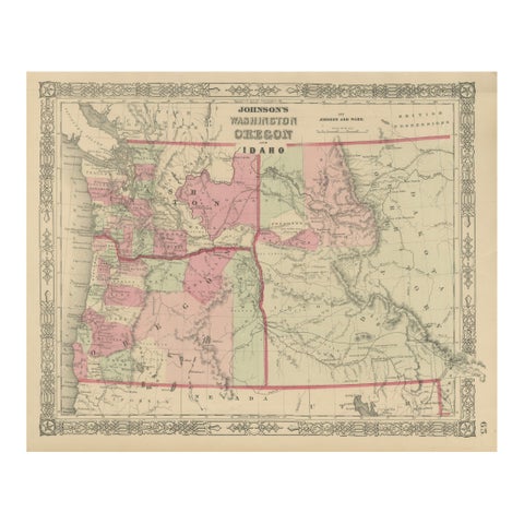
Washington Oregon Idaho Map – Johnson, Hand-Colored, c.1864
1864
$245
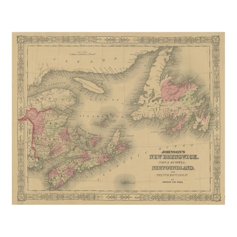
Johnson’s New Brunswick Nova Scotia Newfoundland Map, USA c.1864
1864
$245
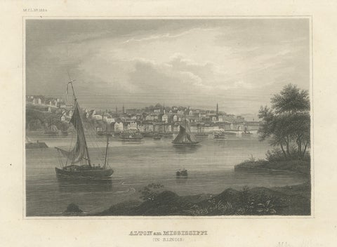
Antique Mississippi River View – Alton Illinois Steel Engraving, Meyers 1854
1854 · Meyer
$245
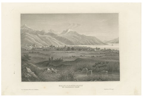
Antique Steel Engraving of Salt Lake City, Mormon Settlement, ca. 1850
1850
$245
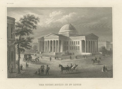
Antique View of the Old Courthouse in St. Louis Missouri, ca. 1850
1850
$245
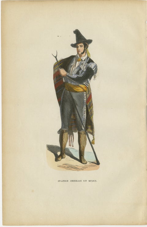
Spanish American from Mexico - Antique Costume Lithograph, c.1852
1852
$245
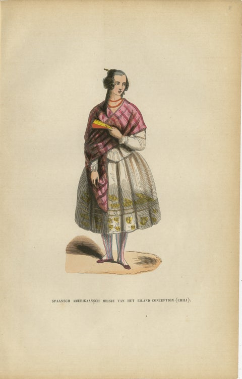
Spanish American Girl from Concepción, Chile - Antique Lithograph, c.1852
1852
$245
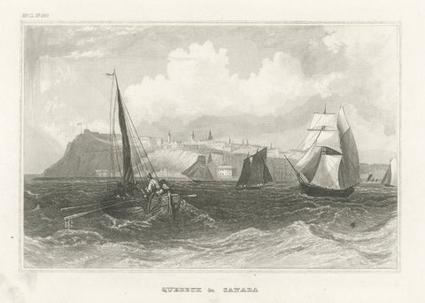
Quebec City Canada Harbor View – Antique Steel Engraving St. Lawrence River 1854
1854 · Meyer
$245
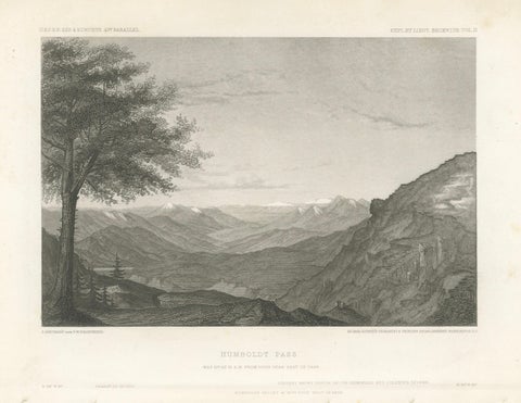
Humboldt Pass, Great Basin Nevada – Beckwith Survey Engraving, c.1855
1855 · Alexander von Humboldt
$245
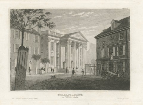
Antique Philadelphia View, Girard’s Bank, Neoclassical Architecture, 1855
1855
$245
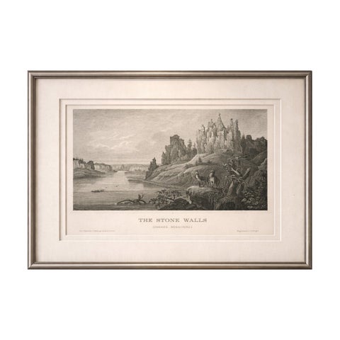
Stone Walls Upper Missouri Antique Print, River Landscape Wildlife c.1850
1850
$245
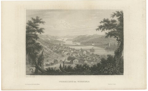
Antique Wheeling Virginia View, Suspension Bridge, Ohio River, Meyer c.1850
1850
$240
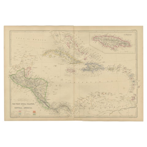
Antique Map of the West Indies and Central America by W. G. Blackie, 1859
1859
$235
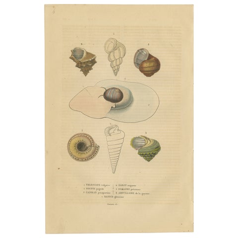
Shell Spectacular: A Collection of Mollusk Shells Engraved and Handcolored, 1845
1845
$235
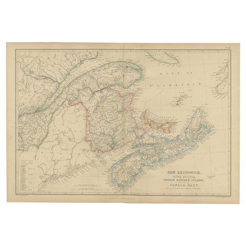
New Brunswick, Nova Scotia, Prince Edward Island, Antique Map, Canada East 1859
1859
$235
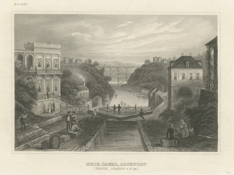
Erie Canal Lockport New York – Antique Canal Engineering Steel Engraving, 1854
1854 · Meyer
$235
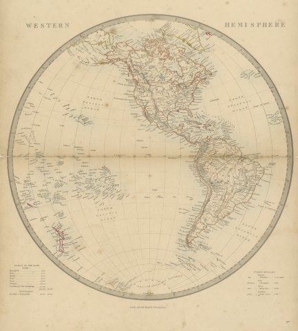
Antique Map of the Western Hemisphere with Highest Mountains Table, 1858
1858
$225
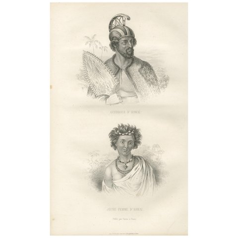
Antique Print of a Warrior and Young Lady of Hawaii by D'urville (1853)
1853
$225
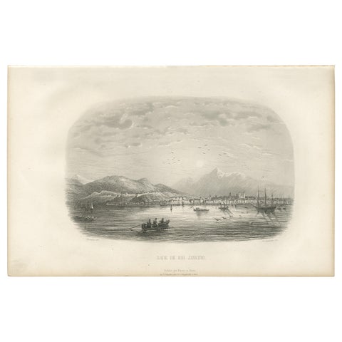
Antique Print of the Harbor of Rio de Janeiro by D'Urville (1853)
1853
$225
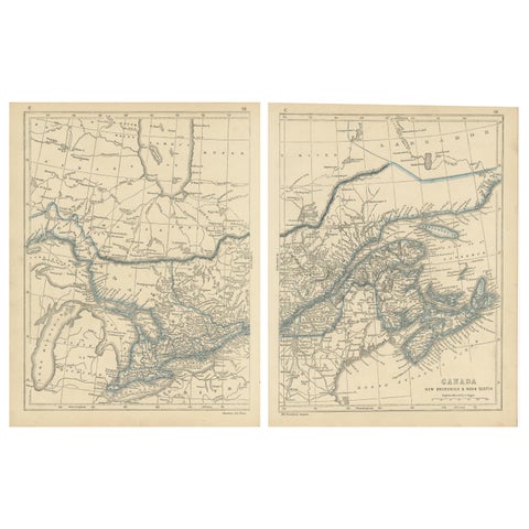
Antique Map of Canada, New Brunswick and Nova Scotia by Lowry, 1852
1852
$225
← PreviousPage 12 of 16Next →
★

Other periods


Colonial America
193 pieces
The Early Republic
261 pieces
The Gilded Age
392 pieces
The Twentieth Century
105 pieces

Your favorites

Saved in this browser. Email the list to yourself to keep it on any device.

We use your email to send this list and, only if you tick the box and confirm, for occasional new arrivals. Every email has an unsubscribe link. Bartele Gallery, the Netherlands.

Your bag

Total

Each piece is bought on its own; shipping is added at checkout.