Antique maps & prints of the Americas
Westward Expansion & Civil War
★ 380 original pieces ★
Texas, Oregon and the Mexican cession, the gold rush and the Civil War: two decades in which the map of the United States changed faster than at any time before or since.
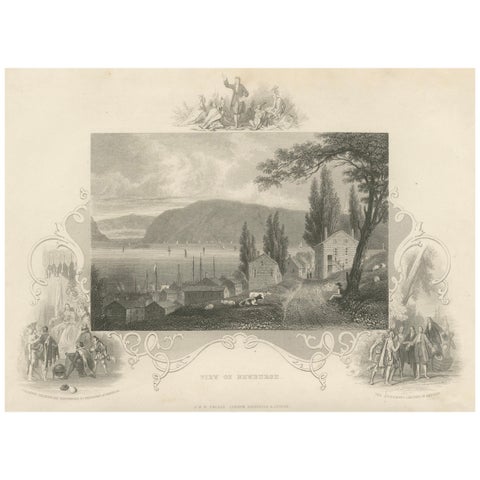
Hudson River View of Newburgh NY – Antique Engraving from c. 1850
1850 · John Tallis
$145
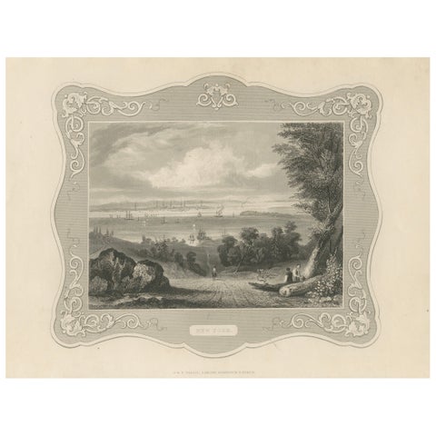
Panoramic View of New York City – Antique Engraving, c. 1850
1850 · John Tallis
$145
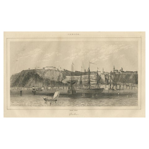
Antique View of Quebec City from the Water – Canadian Harbour Scene, c.1850
1850
$145
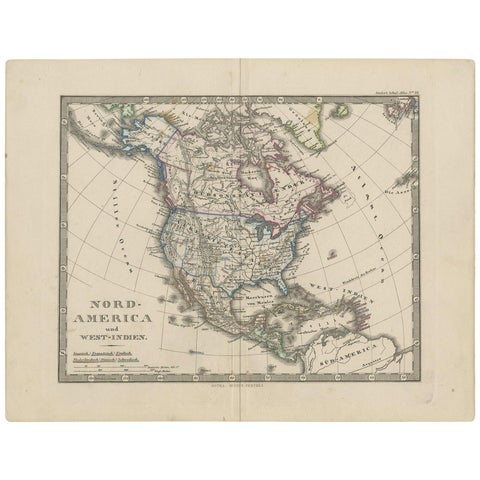
Antique Map of North America and the West Indies by Stieler, circa 1865
1865 · Stieler
$135
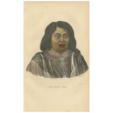
Antique Print of a Native of Araucanía by Prichard, '1843'
1843
$135
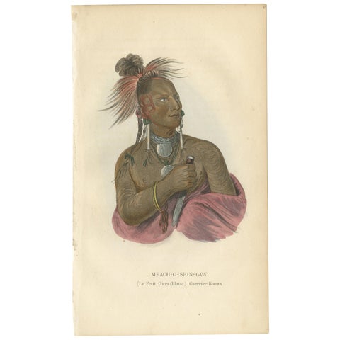
Antique Print of a Warrior of the Kaw Nation by Prichard '1843'
1843
$135
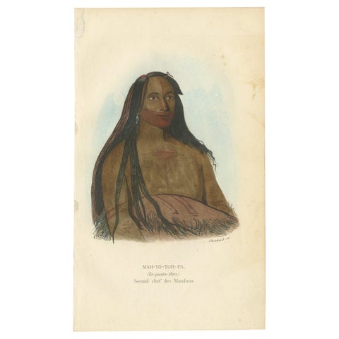
Antique Print of the Second Chief of the Mandan Tribe by Prichard, '1843'
1843
$135
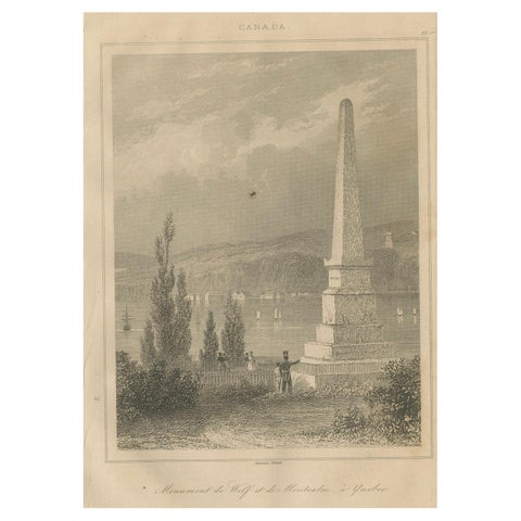
Antique Print of Wolfe and Montcalm Monument – Quebec, Canada, c.1850
1850
$125
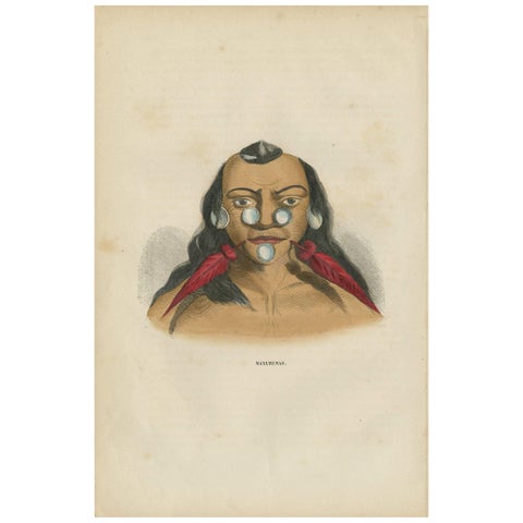
Antique Print of an Inhabitant of Brazil by H. Berghaus, 1855
1855
$110
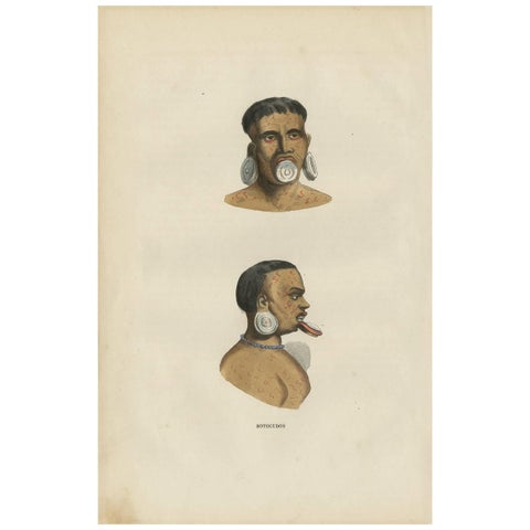
Antique Print of the Indigenous Botocudos of Brazil by H. Berghaus, 1855
1855
$110
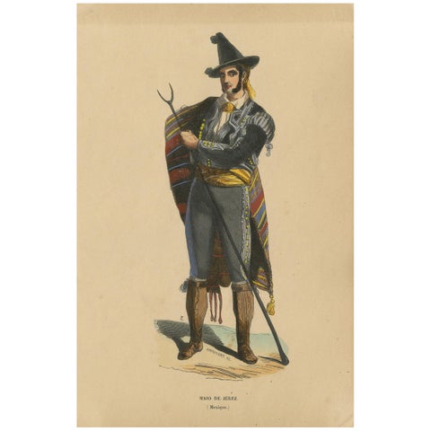
Antique Costume Print of an Inhabitant of Jerez by Wahlen, 1843
1843 · Auguste Wahlen
$110
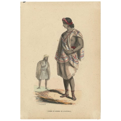
Antique Costume Print of Inhabitants of Guatemala by Wahlen, 1843
1843 · Auguste Wahlen
$110
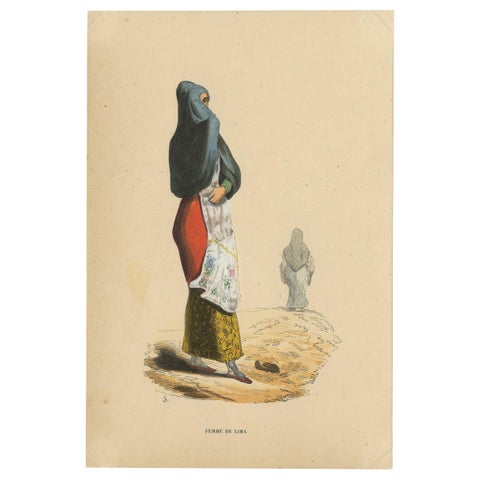
Antique Costume Print of a Woman in Lima by Wahlen, 1843
1843 · Auguste Wahlen
$110
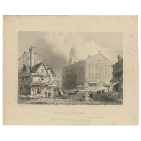
Antique Print of Faneuil Hall in Boston, circa 1860
1860
$110
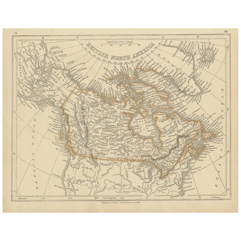
Antique Map of British North America by Lowry, '1852'
1852
$110
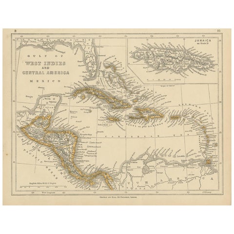
Antique Map of the West Indies and Central America by Lowry '1852'
1852
$110
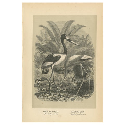
Antique Bird Print of a Saddle-Billed Stork and American Flamingo '1853'
1853
$110
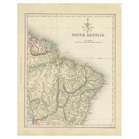
Antique Map of Part of South America by Archer, C.1860
1860
$105
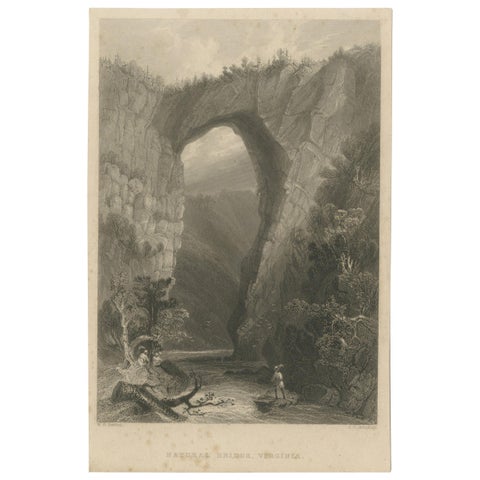
Antique Print of the Natural Bridge of Viriginia, circa 1860
1860
$90
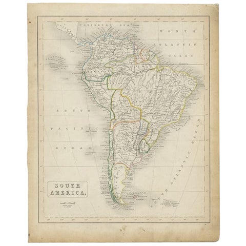
Antique Map of South America, c.1840
1840
$80
← PreviousPage 16 of 16
★
Other periods