Original antique maps & prints of
Latin America
★ 172 original pieces ★
Our smaller collection of Central and South America: Brazil, Peru, Chile, Argentina, the Guianas and the Andes, in maps, voyage engravings and natural history.
Central America
31 pieces
Brazil
116 pieces
Peru
87 pieces
Chile
50 pieces
Argentina
48 pieces
Colombia & Venezuela
15 pieces
The Guianas
34 pieces
Ecuador, Bolivia & Paraguay
9 pieces
South America
104 pieces
★
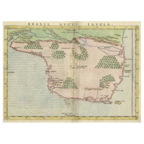
Original Antique Map of Brasil, Published in the 16th Century, 1561
1561
$615
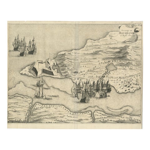
Dutch Conquest of Rio Grande, Brazil (1633) Under Prince Frederick Hendrick
1633
$615
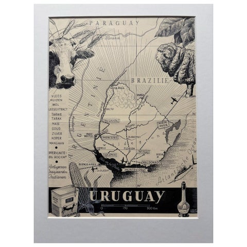
Original 1948 Map of Uruguay by Charles Burki – Art Deco Design
1948
$615

Antique Map of the West Coast of South America with Costume Figures, circa 1860
circa 1860
$610
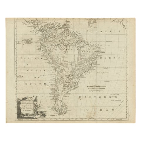
Rare Map of South America of Chili, La Plata, Paraguay, Brazil, Peru, c.1775
1775
$605
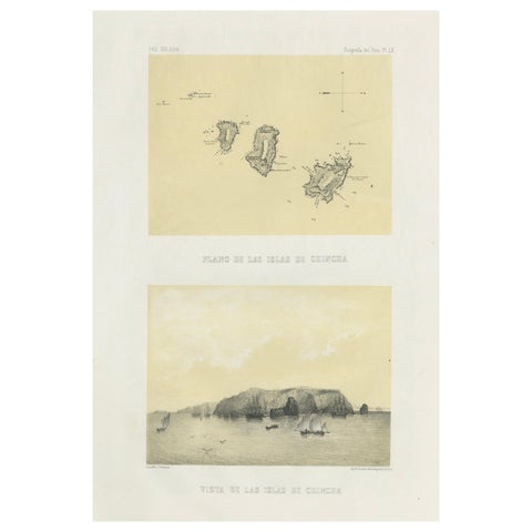
Chincha Islands Antique Lithograph 1865 – Map & Coastal Scene, Peru
1865
$605
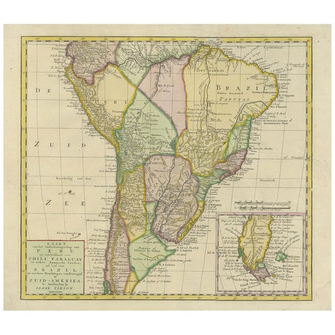
Antique Map of South America by Tirion 'circa 1765'
1765
$560
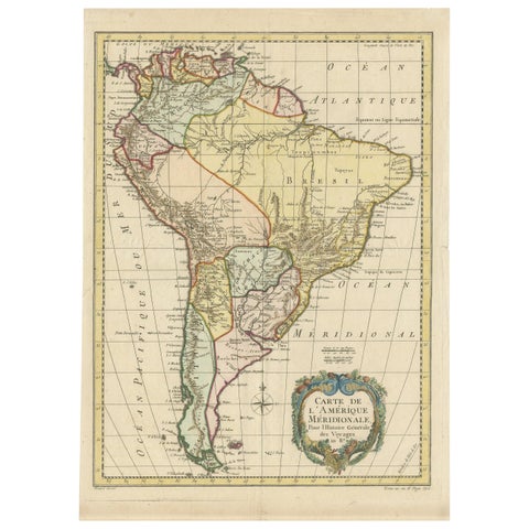
Antique Map of South America by De la Harpe '1780'
1780
$560
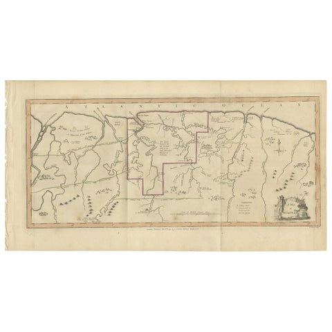
Antique Map of Surinam by Stedman '1813'
1813
$560
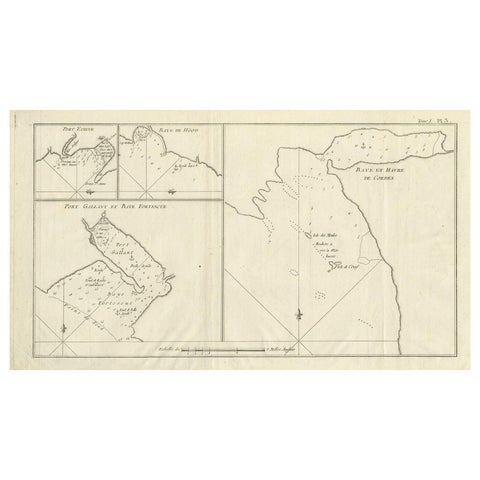
Antique Map of Cordes Bay, Port Famine & Fortescue Bay – Patagonia, 1774
1774
$550
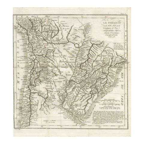
Antique Map of Paraguay and Jesuit Missions by D’Anville, 1733
1733
$550
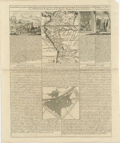
Original Antique Map of Peru and Plan of Lima by Henri Abraham Chatelain, 1719
1719 · Chatelain
$545
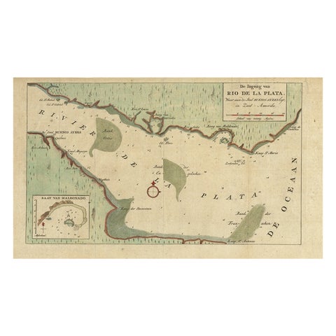
Rare Antique Map of the Rio De La Plata, Buenos Ayres, Brazil, ca.1760
1760 · Guillaume Delisle
$530
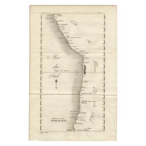
Antique Map of the Coast of Peru and Chile – Detailing Ports & Coastlines, c1760
circa 1760
$515
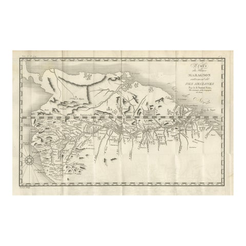
Antique Map of the Amazon River – Maragnon or River of the Amazons, c.1760
1760
$515
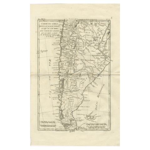
Chile from Peru to Cape Horn – Enlightenment Map by Rigobert Bonne, c.1780
1780 · Rigobert Bonne
$515
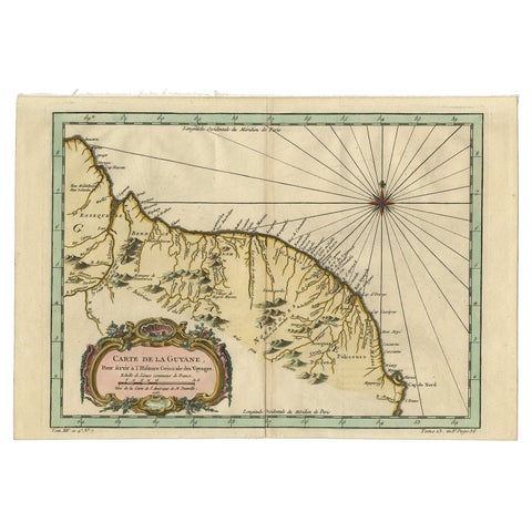
Old Map of Guyana, Suriname and French Guiana with Paramaribo and Cayenne, c1760
circa 1760 · Jacques-Nicolas Bellin
$505
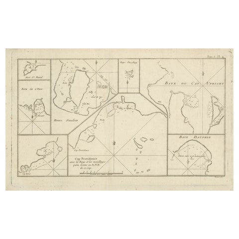
Antique Map of Cape Providence & St. David’s Cove – Strait of Magellan, 1774
1774
$490
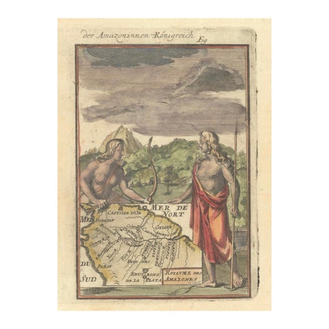
1684 Mallet Map of Amazon River & Kingdom of Amazons – Hand Colored, Miniature
1684
$490
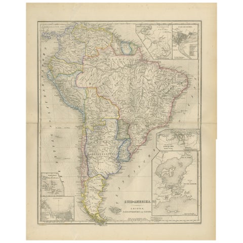
South America Map with Insets – Nieuwe Hand-Atlas, Noothoven van Goor, 1876
1876
$490
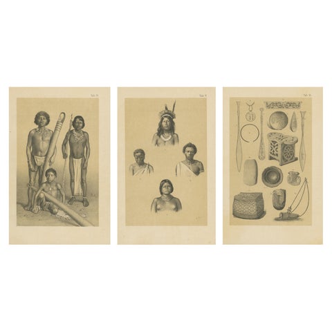
Suriname Indigenous People & Tribal Objects - Ethnographic Lithographs 1888
1888
$490
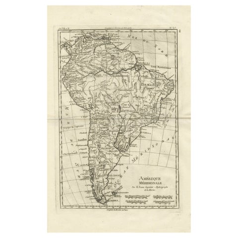
South America – Original Antique Enlightenment Map by Rigobert Bonne, c.1780
1780 · Rigobert Bonne
$490
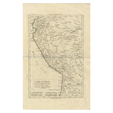
Peru & Upper Amazon – Enlightenment Map by Rigobert Bonne, c.1780
1780 · Rigobert Bonne
$490
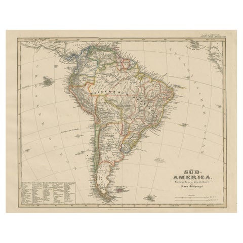
Historic 1858 Map of South America – Pre-Border Consolidation
1858
$480