Original antique maps & prints of
Mid-Atlantic
★ 91 original pieces ★
New York, New Jersey, Pennsylvania, Delaware, Maryland and the capital: the most densely mapped part of the early United States.
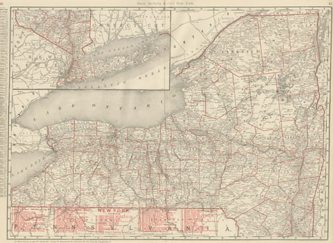
Antique Map of New York State, The Empire State, Rand McNally, 1899
1899 · Rand McNally
$500
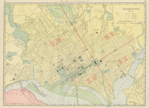
Antique Map of Washington, D.C., The Nation's Capital, Rand McNally, 1899
1899 · Rand McNally
$500
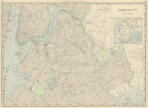
Antique Map of Brooklyn, New York, with Prospect Park, Rand McNally, 1899
1899 · Rand McNally
$440
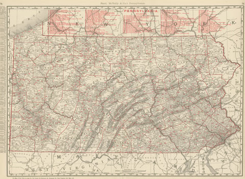
Antique Map of Pennsylvania, The Keystone State, Rand McNally, 1899
1899 · Rand McNally
$440
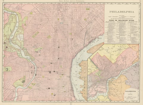
Antique Map of Philadelphia, with Delaware River Piers, Rand McNally, 1899
1899 · Rand McNally
$440
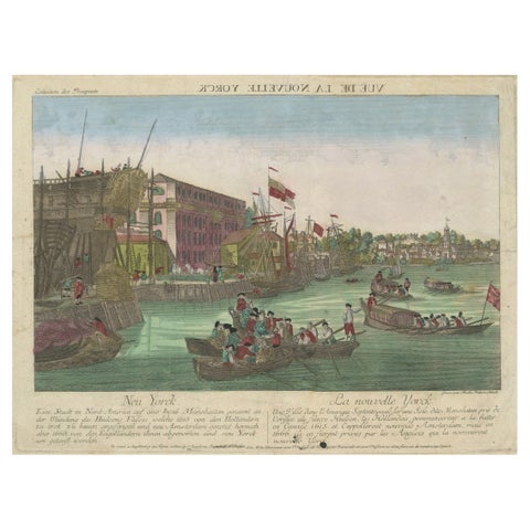
Optical View of New York City Manhattan Harbor Hand-Colored Augsburg - ca.1775
1775
$440
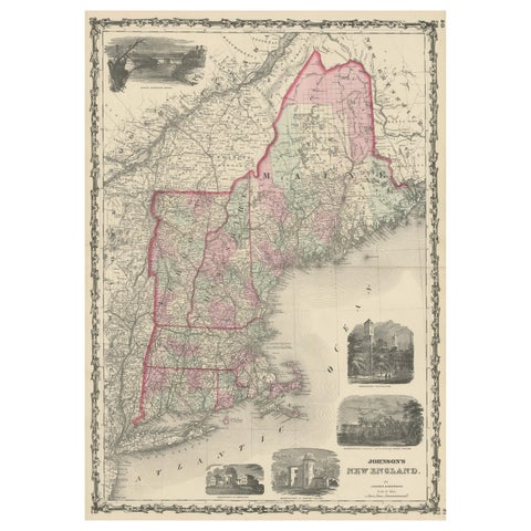
Large Antique Map of New England with decorative Vignettes
1861
$435
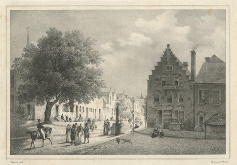
Albany, New York Street View, Original Lithograph after Tirpenne, c. 1840
1840
$425
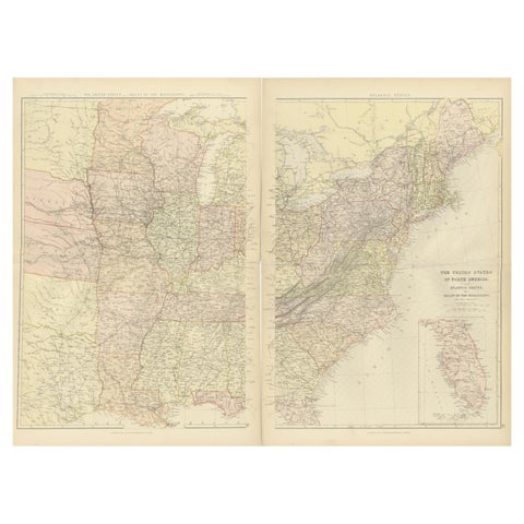
1882 Blackie Atlas Maps: Atlantic States and Mississippi Valley Compilation
1882
$405
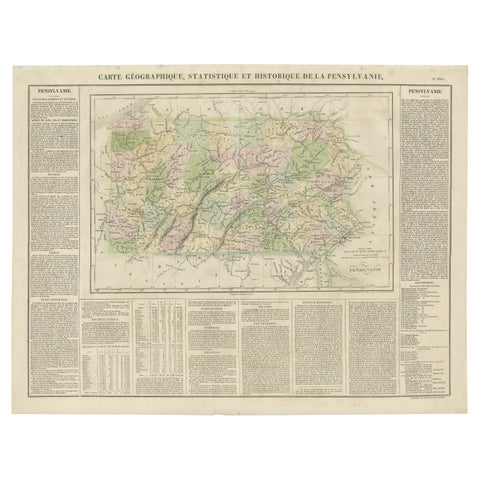
Original Antique Map of Pennsylvania Showing Interesting Statistics Etc, 1825
1825
$390
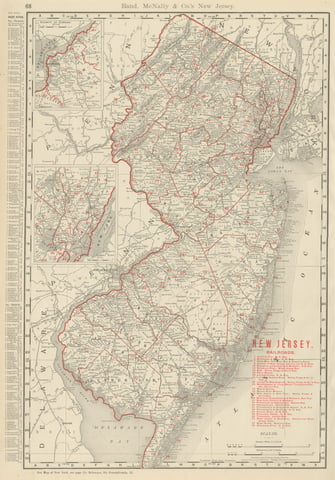
Antique Map of New Jersey, The Garden State, Rand McNally, 1899
1899 · Rand McNally
$385
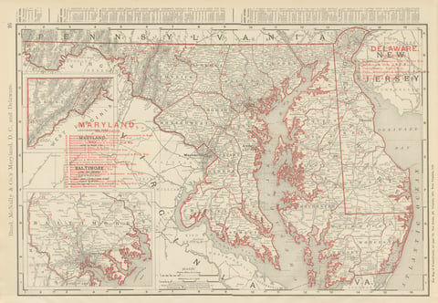
Antique Map of Maryland and Delaware, with Baltimore Inset, Rand McNally, 1899
1899 · Rand McNally
$385
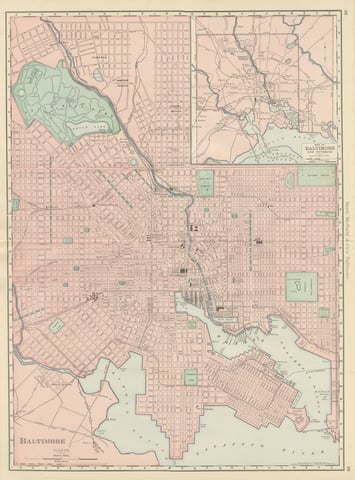
Antique Map of Baltimore, with Druid Hill Park, Rand McNally, 1899
1899 · Rand McNally
$385
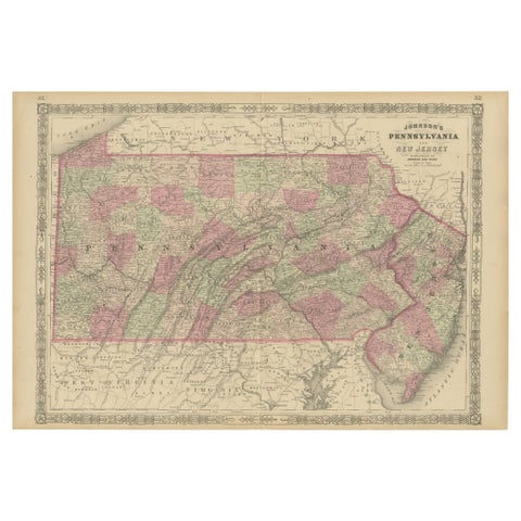
Historic 1864 Civil War Map of Pennsylvania and New Jersey with Coastal Focus
1864
$380
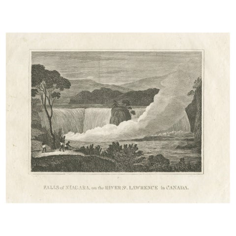
Falls of Niagara, River St. Lawrence, Canada – Engraving Published in 1816
1816
$380
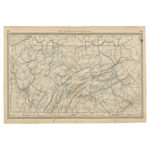
Antique Pennsylvania Map Wall Art – Railroads, Mountains & Cities, Rand McNally
Rand McNally
$380
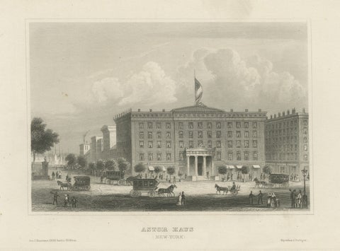
Astor House New York – Antique Broadway Hotel Steel Engraving 1850s
Meyer
$375
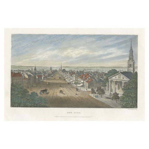
A Glimpse into the Early 19th Century Urban Landscape of New York, a 1842 Print
1842
$370
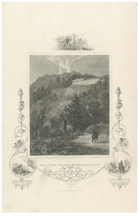
Catskill Mountain House - Antique Engraving, New York View c1830
circa 1830
$370
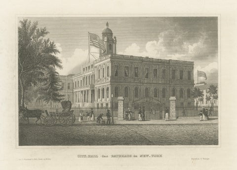
New York City Hall – Antique Architectural Engraving of Manhattan, c.1850
1850
$370
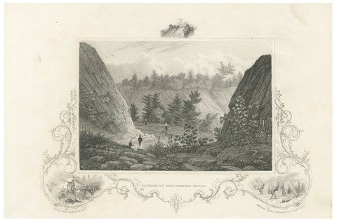
Passaic Falls Antique Engraving, New Jersey Landscape, c.1830
1830
$370
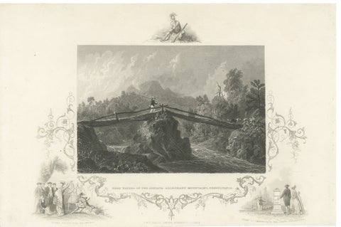
Juniata Alleghany Mountains - Antique Engraving, Pennsylvania View, ca.1830
1830
$370
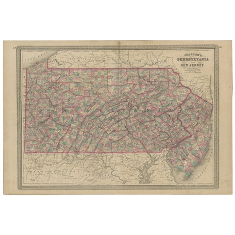
Antique Map of Pennsylvania and New Jersey by Johnson, 1872
1872 · A. J. Johnson
$360
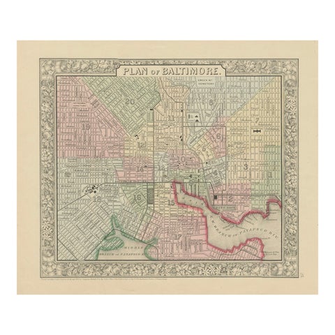
Plan of Baltimore City Map, USA c.1870 – Hand-Colored Street Plan
1870
$360
★
States in Mid-Atlantic