Original antique maps & prints of
Mid-Atlantic
★ 91 original pieces ★
New York, New Jersey, Pennsylvania, Delaware, Maryland and the capital: the most densely mapped part of the early United States.
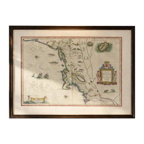
Antique New England Map Blaeu c.1642 – Nova Belgica & Anglia, Ships
1642 · Blaeu
$8,785
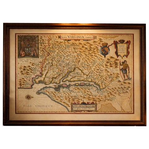
Antique Virginia Map Blaeu c.1642 – Jamestown, Powhatan, Chesapeake
1642 · Blaeu
$8,115
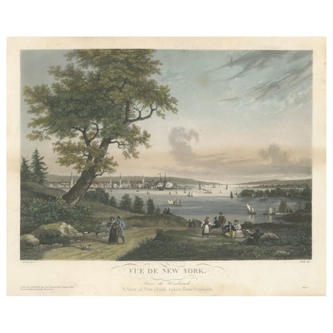
View of New York City from Weehawken, Rare Hand-Colored 1834 Aquatint Print
1834
$6,045
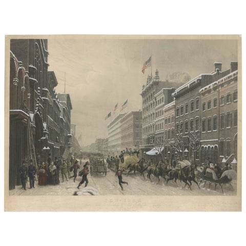
Stunning Winter Scene on Broadway, New York - Hand-Colored Aquatint from 1857
1857
$3,805
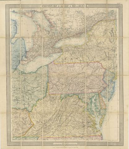
American Civil War “Seat of War” Map, Published Just After Bull Run, 1861
1861
$2,170
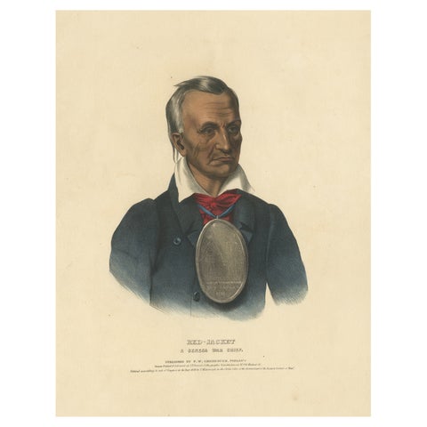
Large Antique Print of Red-Jacket, a Seneca War Chief, circa 1838
1838
$2,125
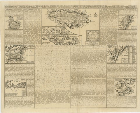
Rare French Colonial America Map, Jamaica Barbados Carolina, c.1719
1719
$1,450
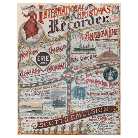
New York Recorder Poster, Christmas Edition, Original Vintage Lithograph, 1893
1893
$1,345
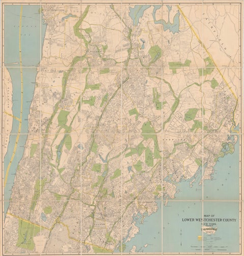
Large Decorative Map of Westchester County New York 1931 – Linen-Backed Wall Map
1931
$1,035
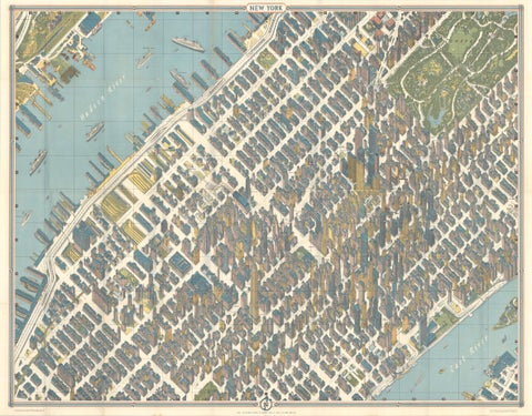
Hermann Bollmann New York City Bird’s-Eye Map for American Airlines, 1964
1964 · Hermann Bollmann
$1,000

Antique Map of the Coal Fields of the United States by Walker '1874'
1874
$760
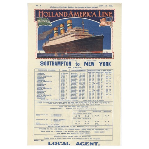
1925 Holland America Line: Southampton to New York Transatlantic Voyages
1925
$715
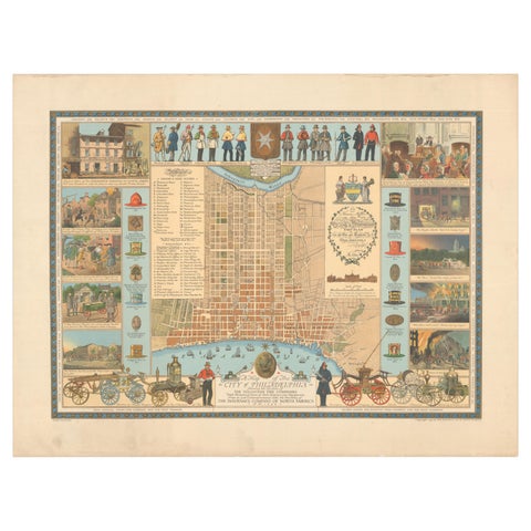
Map of Philadelphia with a Historical Tribute to its Volunteer Fire Companies
$625
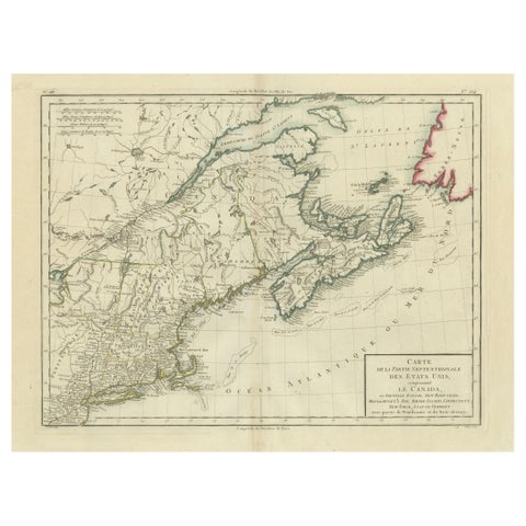
Antique Map of the Northeastern United States and Canada by Tardieu, 1802
1802
$625
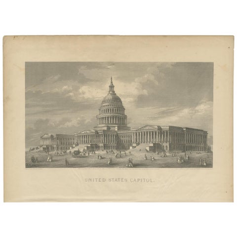
Antique Print of the United States Capitol by Johnson '1872'
1872 · A. J. Johnson
$560
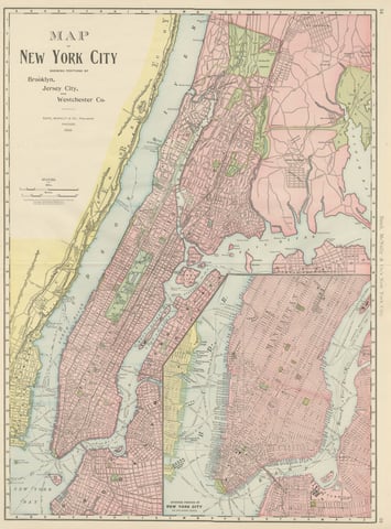
Antique Map of Manhattan, New York City, with Central Park, Rand McNally, 1899
1899 · Rand McNally
$555
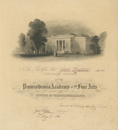
Pennsylvania Academy of the Fine Arts Honorary Membership Certificate, 1882
1882
$525
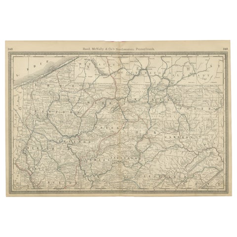
Pennsylvania Antique Map c.1888 – The Keystone State, Northwestern Counties
1888 · Rand McNally
$515
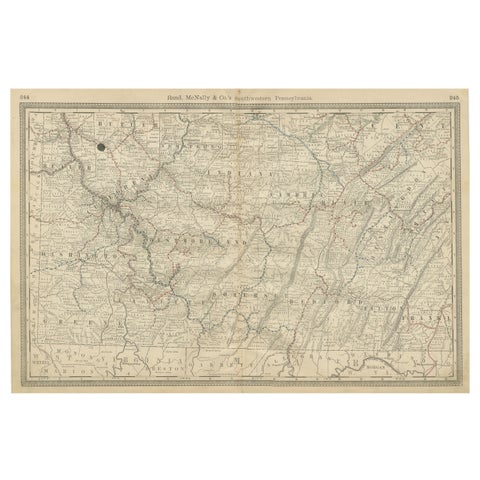
Southwestern Pennsylvania Antique Map c.1888 – Keystone State Counties & Cities
1888 · Rand McNally
$515
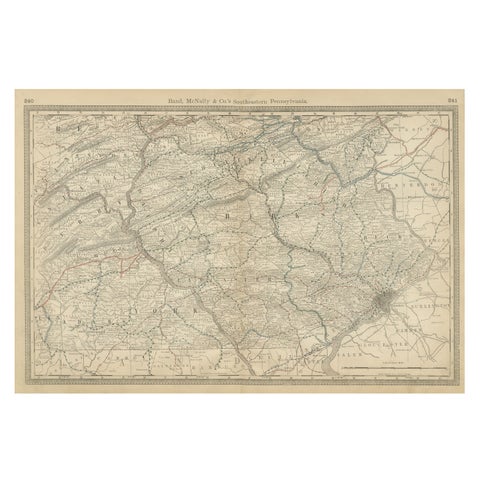
Pennsylvania 1888 Antique Map – The Keystone State, Southeastern Railroads
1888 · Rand McNally
$515
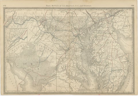
Maryland, D.C. & Delaware Antique Map – Old Line State Railroads, c.1888
1888 · Rand McNally
$515
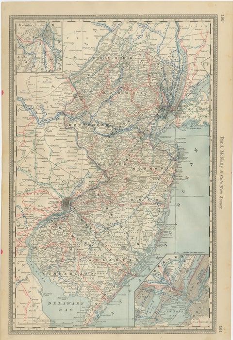
New Jersey Antique Map – The Garden State, Railroads & Counties, c.1888
1888 · Rand McNally
$515
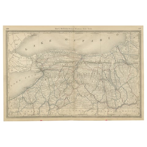
Western New York Antique Map – The Empire State, Railroads & Counties, c.1888
1888 · Rand McNally
$515
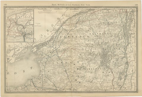
Antique Map of Northern New York – Rand McNally, circa 1888
1888 · Rand McNally
$515
Page 1 of 4Next →
★
States in Mid-Atlantic