Original antique maps & prints of
The South
★ 84 original pieces ★
Virginia and the Carolinas to Florida and Louisiana: colonial charters, Spanish and French Florida, the cotton South and the Civil War.
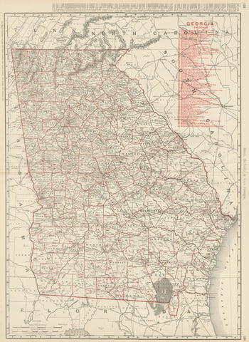
Antique Map of Georgia, The Peach State, Rand McNally, 1899
1899 · Rand McNally
$440
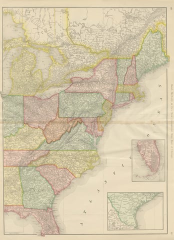
Antique Map of the Eastern United States, with Florida Inset, Rand McNally, 1899
1899 · Rand McNally
$440
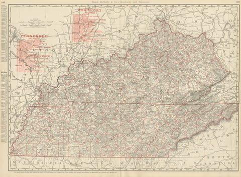
Antique Map of Kentucky and Tennessee, with the Bluegrass Region, 1899
1899 · Rand McNally
$440
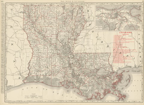
Antique Map of Louisiana, The Pelican State, Rand McNally, 1899
1899 · Rand McNally
$440
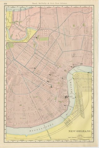
Antique Map of New Orleans, The Crescent City, Rand McNally, 1899
1899 · Rand McNally
$440
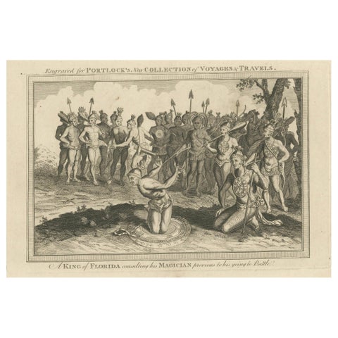
Pre-Battle Rituals: The King of Florida and His Magician, ca.1780
1780
$435
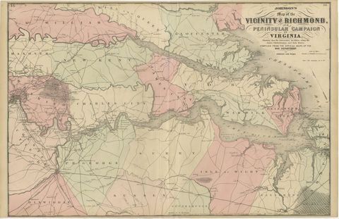
1862 Johnson's Map of the Vicinity of Richmond & Peninsular Campaign, Virginia
1862
$435
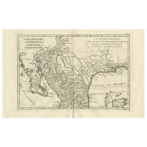
New Mexico & Northern New Spain – Enlightenment Map by Rigobert Bonne, c.1780
1780 · Rigobert Bonne
$435
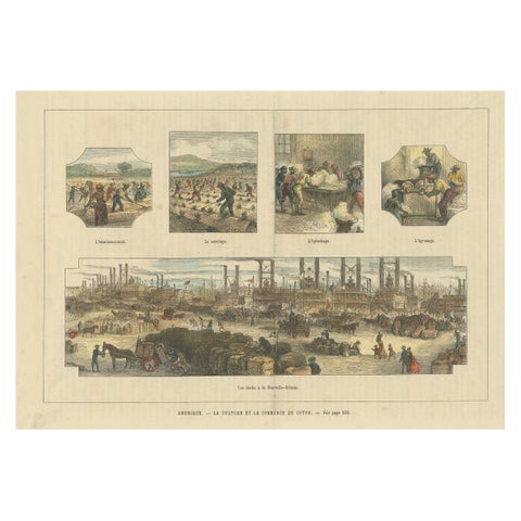
Antique Print Showing the Cotton Cultivation and Trade in America, Ca.1900
1900
$425
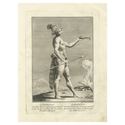
Saturiova: The Warrior King of Florida Performing a Ritual Sacrifice, c.1790
1790
$405
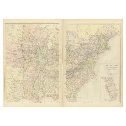
1882 Blackie Atlas Maps: Atlantic States and Mississippi Valley Compilation
1882
$405
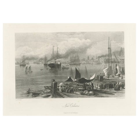
New Orleans Harbor, Mississippi River Shipping and Steamers – Engraving ca.1850
1850
$390
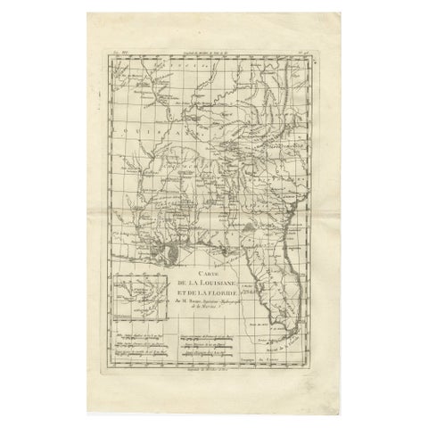
Antique Map Louisiana & Mississippi Valley, Florida Region, Bonne c.1780
1780 · Rigobert Bonne
$390
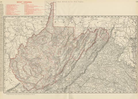
Antique Map of West Virginia, The Mountain State, Rand McNally, 1899
1899 · Rand McNally
$385
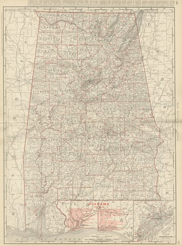
Antique Map of Alabama, The Yellowhammer State, Rand McNally, 1899
1899 · Rand McNally
$385
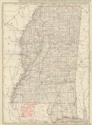
Antique Map of Mississippi, The Magnolia State, Rand McNally, 1899
1899 · Rand McNally
$385
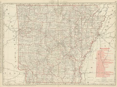
Antique Map of Arkansas, with Hot Springs, Rand McNally, 1899
1899 · Rand McNally
$385
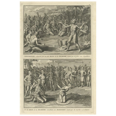
Two Engravings of an Florida King of the Indians in America, 1722
1722
$380
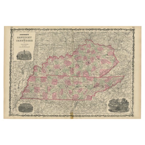
Civil War Era Map of Kentucky and Tennessee with Scenic Insets, Published 1864
1864
$380
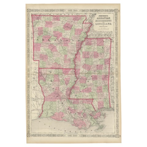
Rare 1864 Civil War Era Map of Arkansas, Mississippi, and Louisiana
1864
$380
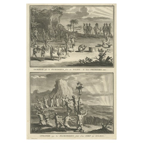
Antique Print of Natives in Florida Making Offerings to the Sun God, ca.1730
1730
$370
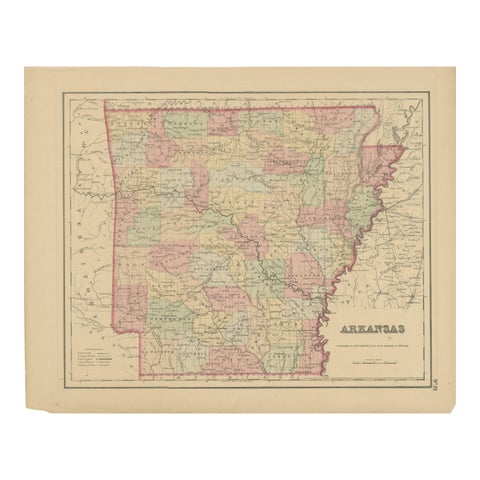
Arkansas Map by Colton, USA Published c.1864 – Hand-Colored County Map
1864 · J. H. Colton
$370
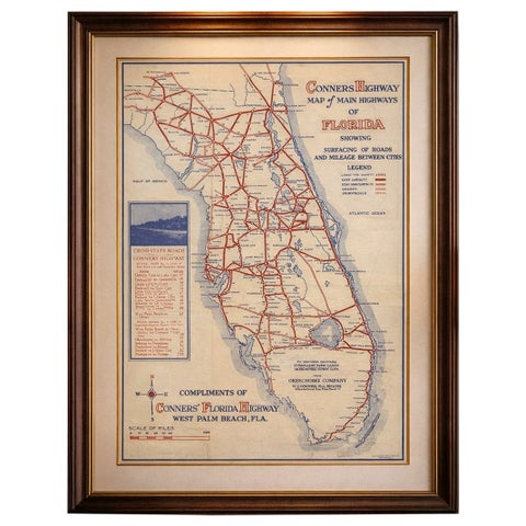
Antique Florida Highway Map – Conners Highway, Lake Okeechobee Roads, ca.1924
1924
$370
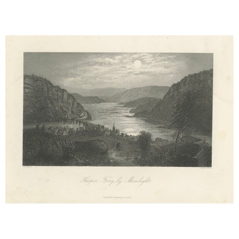
Harper’s Ferry by Moonlight, Potomac River Night View – Antique Engraving, 1872
1872
$345
★
States in The South